Inspiration
We were inspired by the daily struggle thousands of people in Monterrey face, navigating damaged streets. Potholes are more than an inconvenience; they cause accidents, vehicle damage, and result in millions of dollars in public spending. We wanted to transform this persistent problem into a data-driven opportunity for smarter, safer cities.
What it does
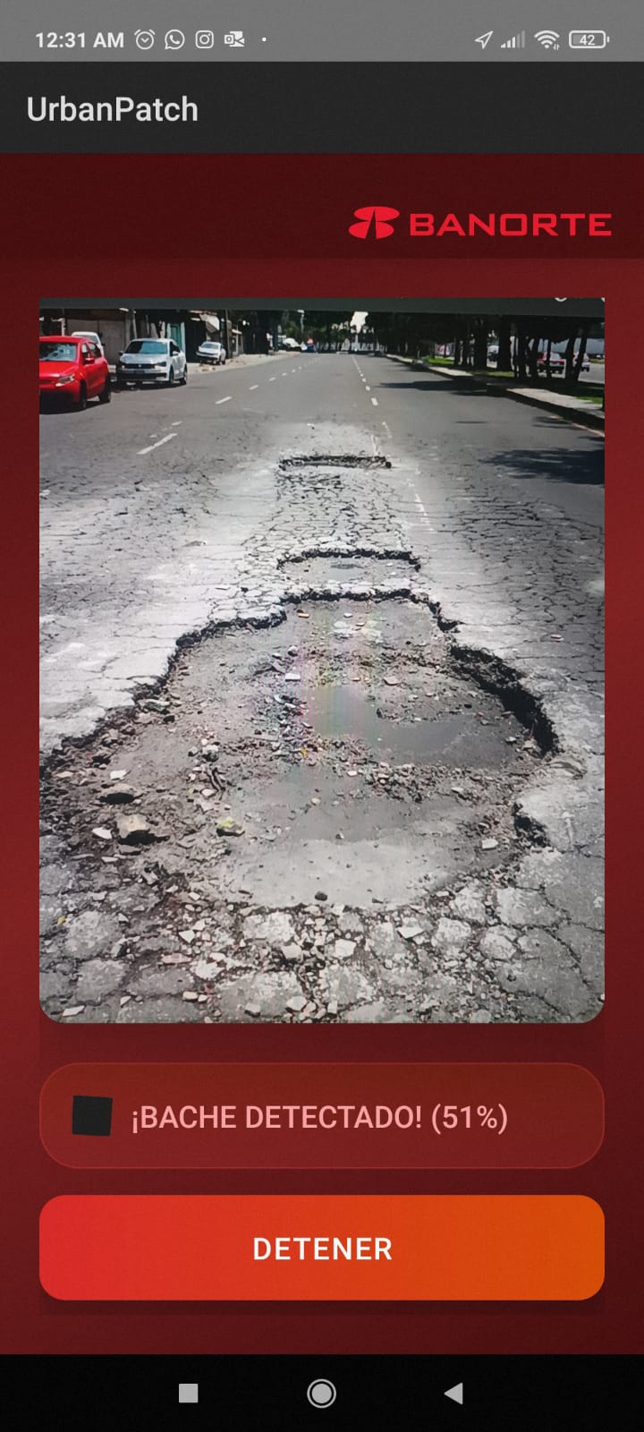
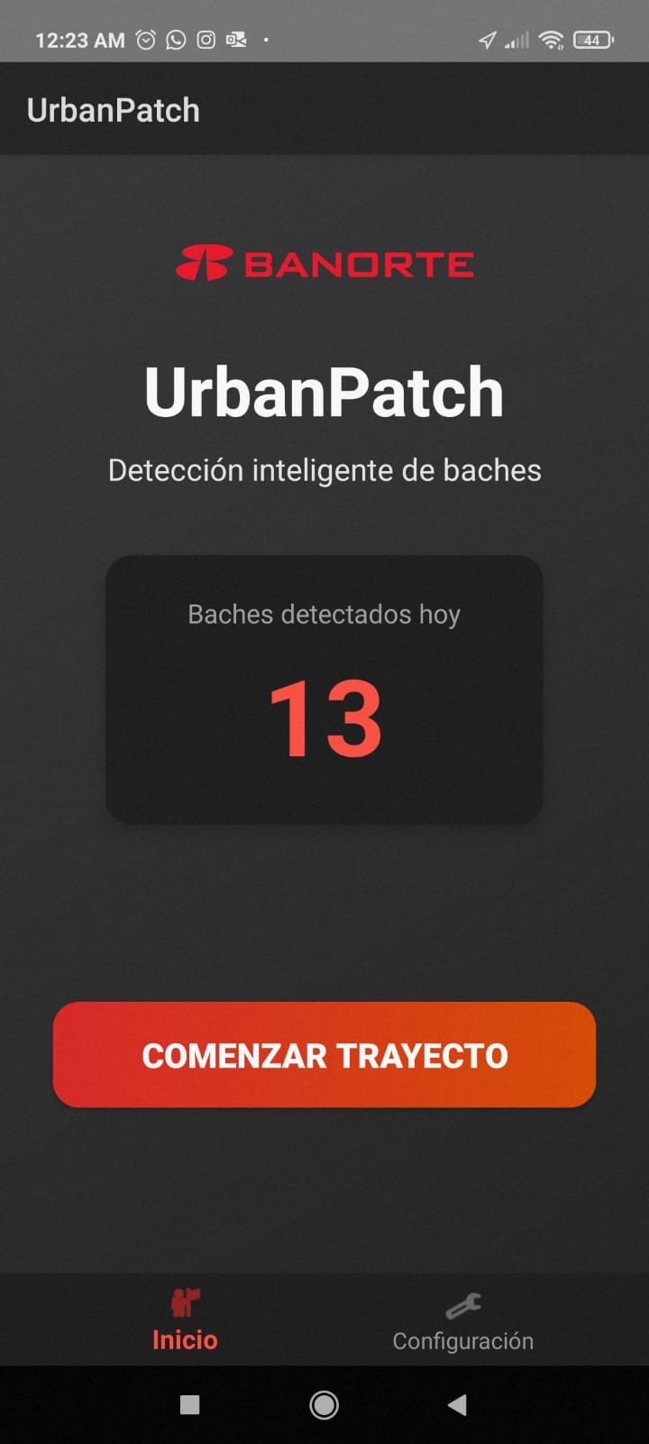
UrbanPatch uses computer vision and AI to detect potholes from images or live video. The app maps their exact locations, classifies severity, and prioritizes repairs. It then generates automated reports by neighborhood, helping governments and contractors allocate resources efficiently.
How we built it
To train the AI model, we used Roboflow to generate a database for the fine-tuning process, for future pothole detection. We implemented this system on a native Android app that connects to a database server made with Python and SQL. The data in the database was then analyzed with Gemini API to create a full report.
Challenges we ran into
As we gradually developed UrbanPatch, the project became increasingly robust, which also made it more complex to manage. Integrating new functionalities, like real-time detection, database syncing, and automated reporting, required constant adjustments to our architecture. Balancing innovation with system stability was a key challenge, as each new layer of functionality introduced technical and performance hurdles that pushed our team to refine and optimize the app continuously.
Accomplishments that we're proud of
Built a fully working prototype that connects detection, database, and report generation. We developed an end-to-end prototype that integrates every stage of UrbanPatch’s workflow. The system starts by capturing street images through a mobile or vehicle-mounted camera. These images are processed using our trained computer vision model, which identifies and classifies potholes based on their size.
What we learned
We learned how to combine AI, geolocation, and data visualization into a unified system that addresses a real-world infrastructure issue. We also learned the importance of dataset diversity, teamwork, and iterative testing to refine model accuracy.
What's next for UrbanPatch
UrbanPatch could expand through a subscription model for private neighborhoods, integrating our system into their security cameras for continuous pothole monitoring. We also plan to equip public transport vehicles with detection cameras, turning city fleets into moving data collectors. Together, these networks would create a city-wide intelligent infrastructure map enabling faster repairs and smarter urban planning.


Log in or sign up for Devpost to join the conversation.