-
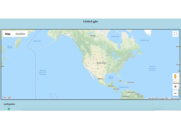
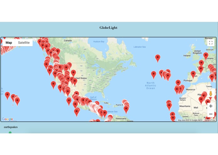
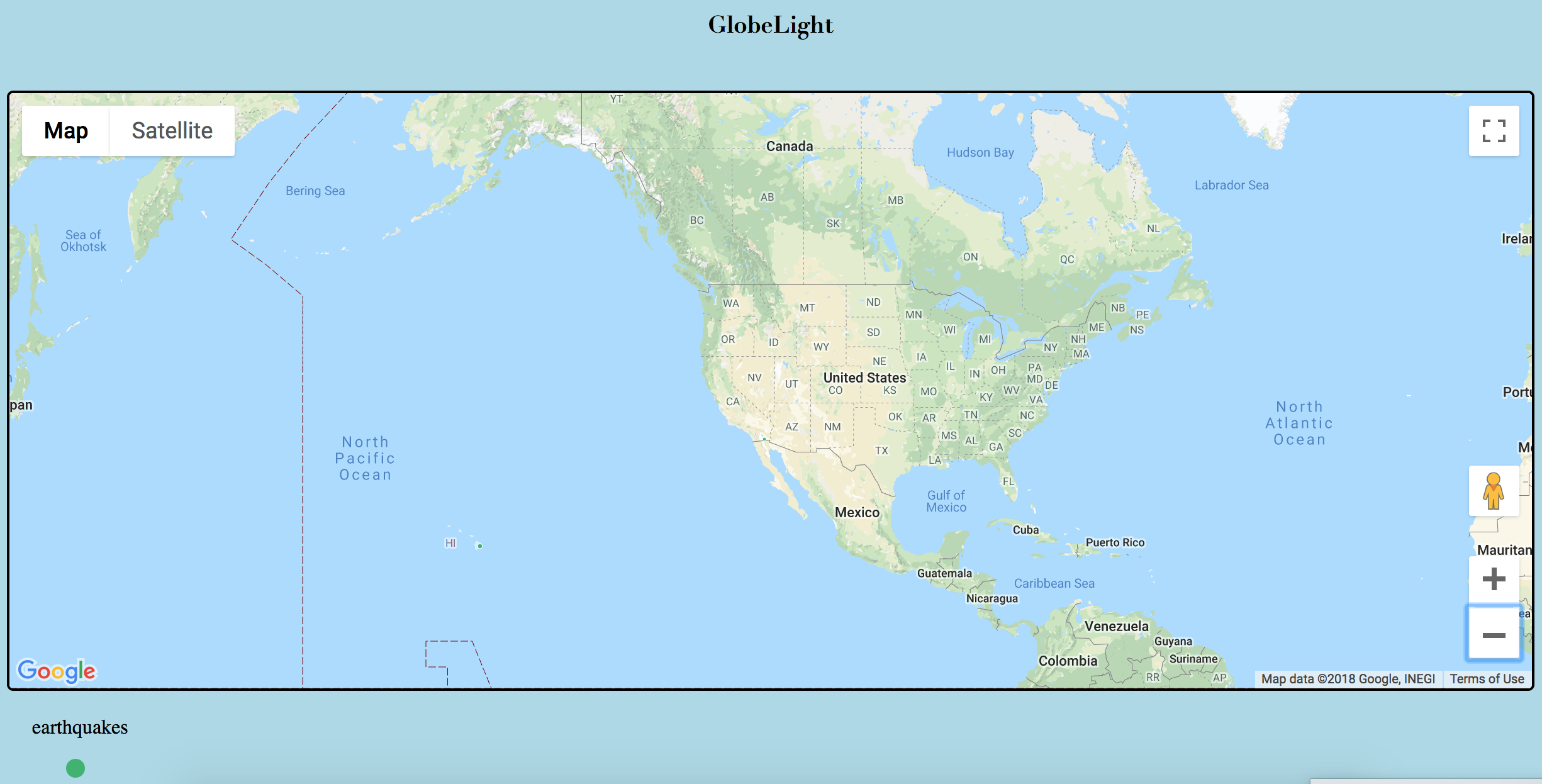
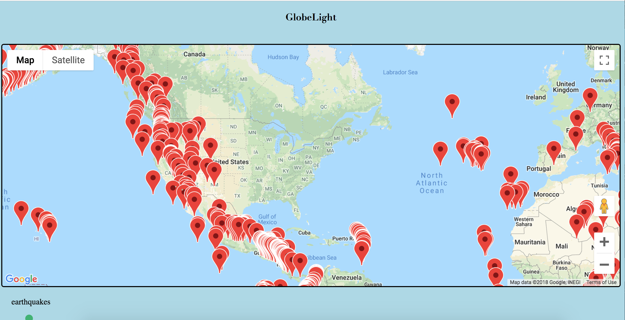
earthquakes
-
volcanos
GlobeLight
project for Technica2018
It’s hard to know whats going on around the world. Usually, we’re so focused on what’s going on around -us- that everything else gets drowned out.
This was the idea that inspired GlobeLight. I believe that this map will unify people and give life to the places we can't physically see. GlobeLight is a map that shows real time data of geological events that are happening around the world. It will project things like earthquakes, volcanoes, hurricanes--with this map, we will be able to know what's going on around the world.
My end goal for this project is to make a functional art piece
I want to create a map of the world and cover it in LEDs that will change color depending on the events that are occurring. I believe my projects current state is a small step in that direction.
GlobeLight is a small web application that integrated google maps and real time geojson data from USGS (united stated geological service) to show the same information.
Currently shows
- Earthquake Data

Log in or sign up for Devpost to join the conversation.