ShadeRoute
The city is hot, your route should not be. Introducing climate aware navigation
The problem
NYC summers turn routine walks into real heat and air-quality exposure that standard maps ignore completely, since Google and Apple Maps optimize only for speed or distance. Each summer, an average of approximately 500 New Yorkers die prematurely due to hot weather in New York City, according to the NYC Health-Related Mortality Report. Heat-sensitive walkers, outdoor workers, and elderly residents have no way to pick a route that avoids sun, pollution, and heat stress along the way.
How we're solving it
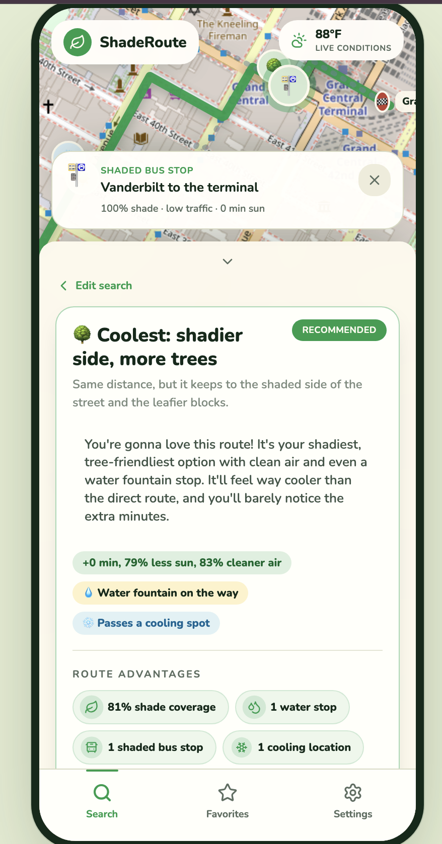
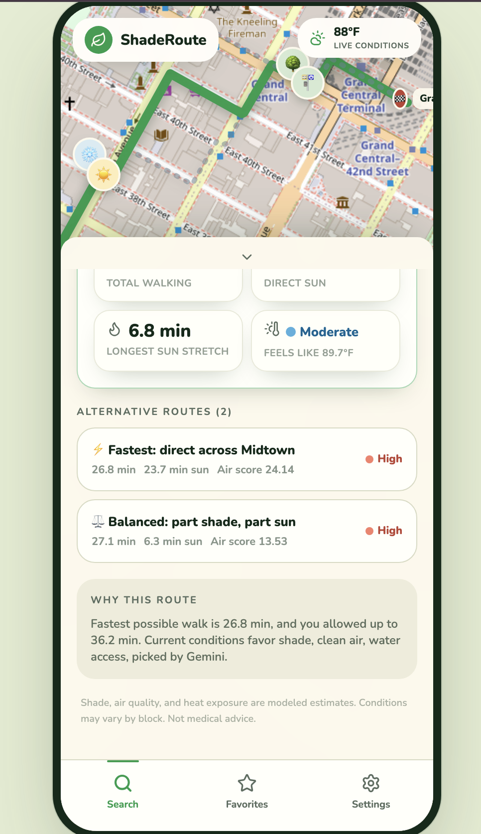
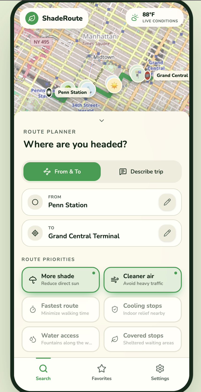
ShadeRoute scores candidate walking routes on real shade, tree canopy, cooling and water access, and a pollution proxy, using real building, tree, and sun-position data (astral sun math, building-height shadow heuristics) pulled from free public sources.
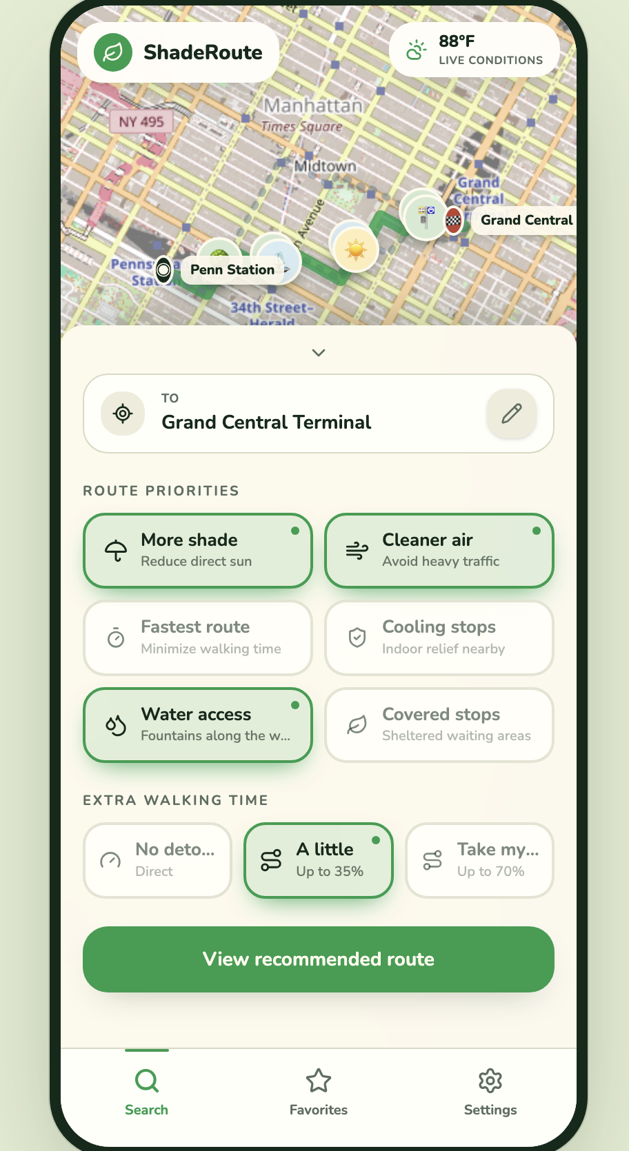
Users pick concrete filters:
| Filter | What it does |
|---|---|
| 🌳 Shade | Stay out of direct sun |
| 😮💨 Clean air | Avoid heavy-traffic streets |
| ⚡ Speed | Minimize walking time |
| ❄️ Cooling stops | Indoor relief nearby |
| 💧 Water | Fountains along the way |
| 🚏 Shaded transit | Sheltered waiting areas |
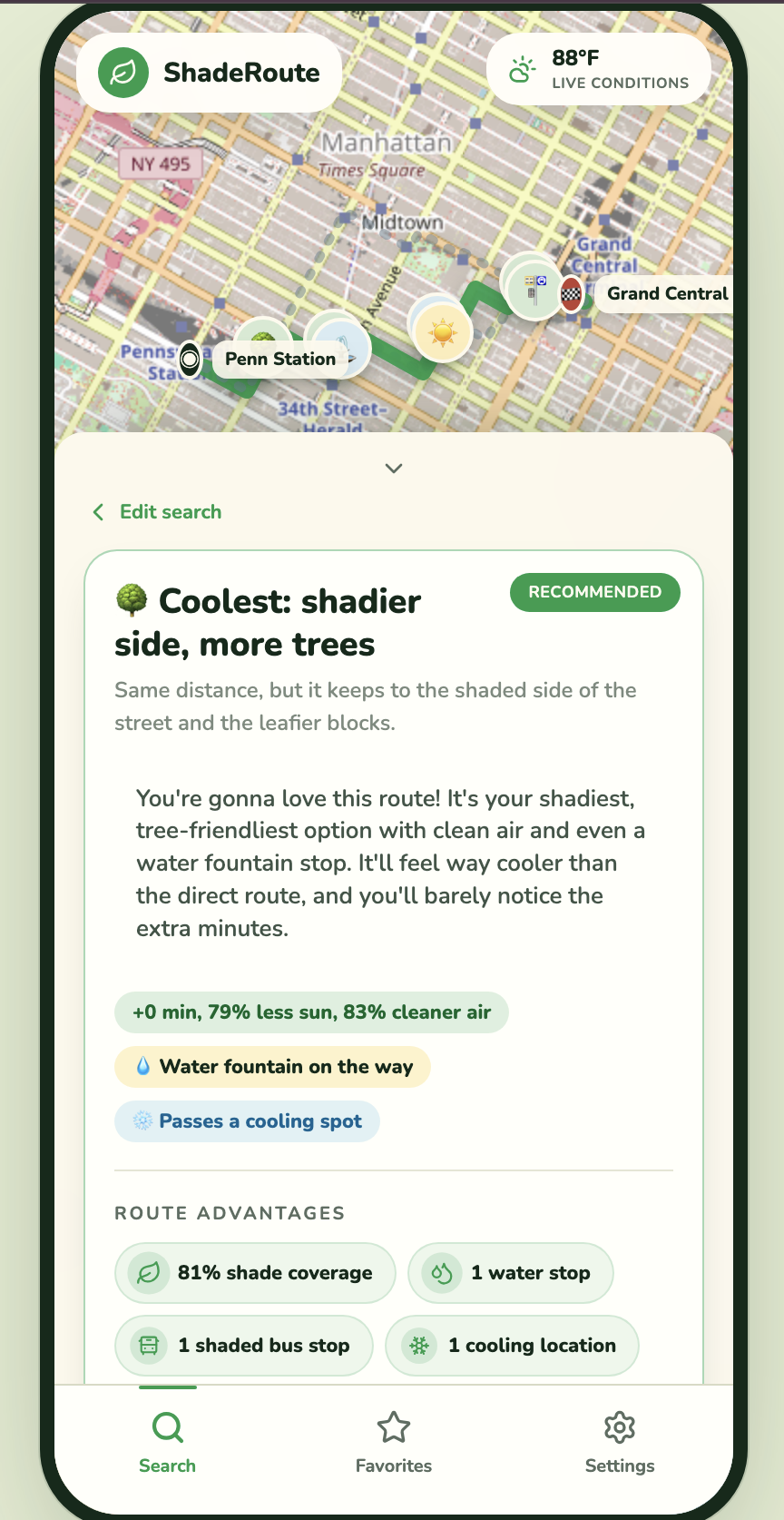
With the help of AI agents and LLMs, the best candidate is picked and we explain the tradeoff in a friendly, emoji-rich summary.
The whole thing runs on free, keyless data (GBIF, OSM/Overpass, NYC DCP ArcGIS, Open-Meteo) and free routing (OSRM/Valhalla), so it's a fast, self-contained build with no paid dependencies.
Built With
- agents
- claude
- fastapi
- openstreetmap
- python
- react
- typescript

Log in or sign up for Devpost to join the conversation.