Inspiration
It starts with something we see in our neighbourhoods every day: overflowing garbage bins, plastic bags blowing onto sidewalks, litter scattered by the wind, and potholes that make streets less safe. Poor waste management and recurring maintenance issues create frustration for residents and extra work for city officials.
Toronto's 2022 litter audit found 3,887 large litter items across 300 audited public locations — a 28.6% increase from 2020. Although this doesn't prove that bylaw violations caused the increase, it shows why communities need better ways to identify and track recurring problems.
We asked ourselves: What if an ordinary scooter could help a city see these problems sooner?
That question inspired ScootSense: a smart-scooter system designed to turn everyday journeys into useful environmental data and help communities build cleaner, safer streets.
How We Built It
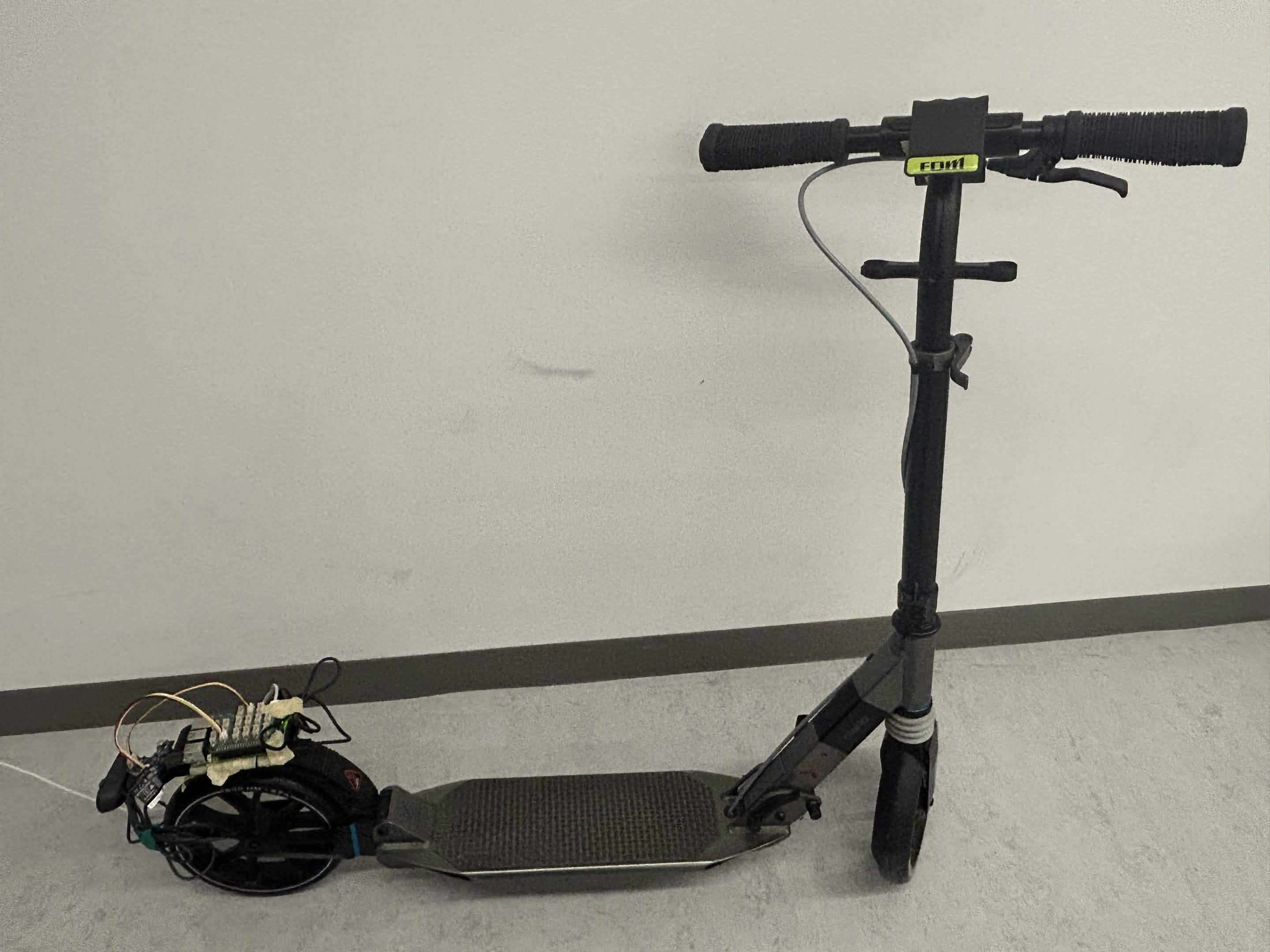
We transformed an ordinary kick scooter into a mobile environmental monitoring platform using a Raspberry Pi 5, USB camera, accelerometer, and air-quality sensor.
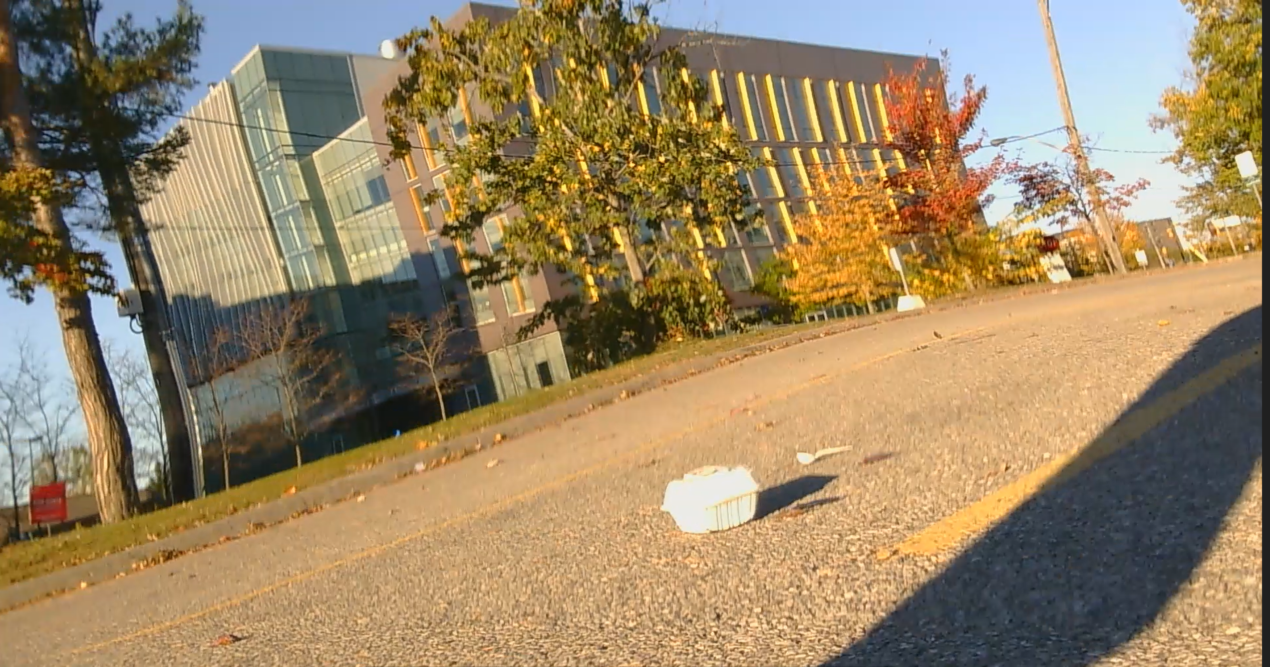
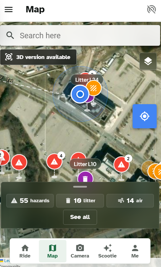
Our Python system uses YOLO-based computer vision to detect potential litter, an accelerometer to identify sudden bumps, and an air-quality sensor to monitor environmental changes. The rider's phone supplies GPS coordinates, allowing our web app to map reported hazards and litter hotspots.
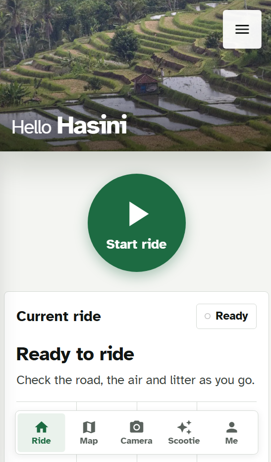
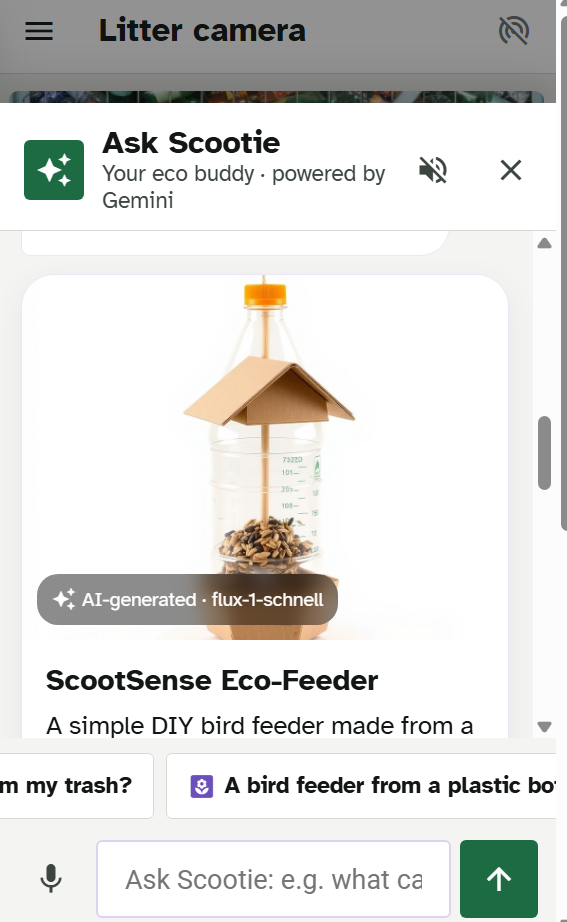
We built a responsive web app that brings these observations together in one place. When litter is detected, Google Gemini helps identify the item, assess whether it may be unsafe to handle, and suggest a creative reuse idea. Our AI eco-assistant, Scootie, can also turn household materials into practical upcycling projects.
If a rider leaves an item for a cleanup crew, it can be pinned on the shared map so other riders can help confirm whether it remains there.
Tiger Data: Turning Sensor Readings Into City Intelligence
A single scooter ride produces individual observations. The real opportunity comes from connecting those observations over time.
We use Tiger Data, powered by PostgreSQL and TimescaleDB, to store and query time-stamped sensor readings and environmental events. This lets ScootSense organize information such as bumps, air-quality changes, litter detections, and their timestamps into a dataset that can support dashboards and historical analysis.
Why it matters: Instead of only showing where a problem was reported once, time-series data can help reveal whether a location repeatedly experiences the same issue, whether conditions are changing, and where maintenance attention may be most useful. This could help city teams move from reacting to isolated complaints toward prioritizing recurring patterns.
Tiger Data is our foundation for turning individual rides into a growing picture of neighbourhood conditions. Its time-series capabilities are designed for efficiently storing, analyzing, and aggregating data that arrives continuously.
Solana: Making Environmental Records Verifiable
When a community confirms a hazard or someone records that litter has been picked up, trust matters. How can people verify that a public record has not quietly been changed?
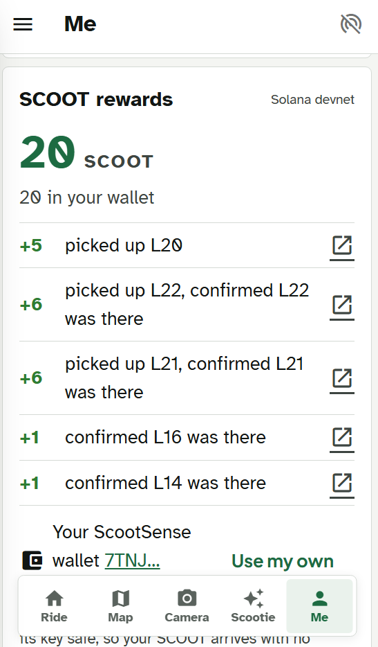
ScootSense uses Solana Devnet to record a compact verification record containing a SHA-256 hash — a digital fingerprint of selected facts about an event. Our project notes describe using Solana's Memo program to publish this record.
The detailed event data stays in our database, while the blockchain record provides an independent reference that can be checked against it. If the underlying facts are changed, their recomputed hash should no longer match the original fingerprint.
Why it matters: This creates a path toward more transparent environmental reporting. Residents, organizers, and city teams could verify that a record matches the facts originally committed, rather than relying entirely on one app's claim. Solana provides a shared, publicly inspectable transaction history for these verification records.
Our prototype uses Solana Devnet and test tokens, not a real-money reward system. The blockchain does not prove that a camera correctly identified litter or that a reported hazard is genuine; community confirmation and reliable detection are still essential.
Together, Tiger Data and Solana serve different purposes: Tiger Data helps us analyze what is happening over time; Solana helps us verify whether selected records have been altered.
Challenges We Faced
Building ScootSense meant connecting hardware, AI, GPS, and a web app into one system. We had to consider sensor compatibility, limited power and mobile data, false detections, and the difficulty of accurately locating hazards.
Our litter model scored approximately 68% mAP@50 on a small test set, according to our project notes. Real-world scooter footage may perform differently, so we use repeated detections and Gemini-based checks to help reduce false alerts.
We also worked to make the app accessible through large buttons, high-contrast text, and straightforward language. Privacy is another priority: our design blurs faces before image uploads and provides options to reduce location precision.
Finally, we had to find a work around for powering the microcontroller since, we did not have a 5V/3A battery pack and only had a 5V/1A battery pack. Also, we didn't have an sd card reader so, we had to use a flash drive. This taught us what to do in case of emergency scenarios.
What We Learnt
We learnt that building a smart-city solution takes more than adding AI to a camera. Useful results depend on reliable sensors, accurate locations, good data storage, privacy protections, and interfaces people can actually use.
We also learnt that different technologies solve different parts of the problem. Computer vision identifies potential hazards, Tiger Data helps us understand patterns over time, Gemini makes observations easier to interpret, and Solana provides a way to verify selected records.
Most importantly, we learnt that environmental technology should make life easier for both residents and the people responsible for maintaining their communities.
Our Vision
ScootSense is about turning everyday observations into opportunities for action. By mapping recurring litter and road hazards, it aims to help residents report problems, support cleanup efforts, and give city officials better information for deciding where attention is needed.
Built With
- cloudflare-workers-ai
- css3
- express.js
- gemini
- google-oauth
- gps
- html5
- javascript
- maplibre
- mpu6050
- node.js
- open-meteo
- opencv
- pms5003
- postgresql
- python
- pytorch
- raspberry-pi
- roboflow
- solana
- tiger-data
- timescaledb
- ultralytics
- vercel
- yolo

Log in or sign up for Devpost to join the conversation.