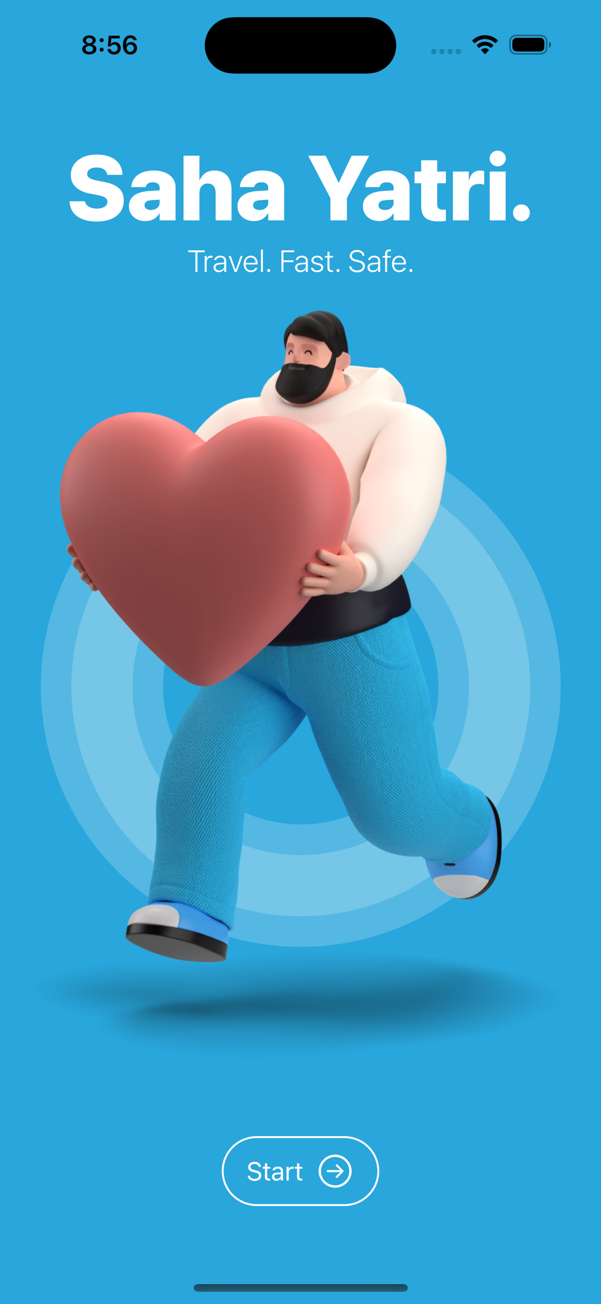

Inspiration
We believe that real-time vehicle tracking has the potential to revolutionize transportation and improve public safety. By making it easy for people to see where their bus is and where they are, we can help them reduce their wait times and make better use of their time. Additionally, by tracking government vehicles, we can help to ensure that they are being used efficiently and appropriately.
What it does
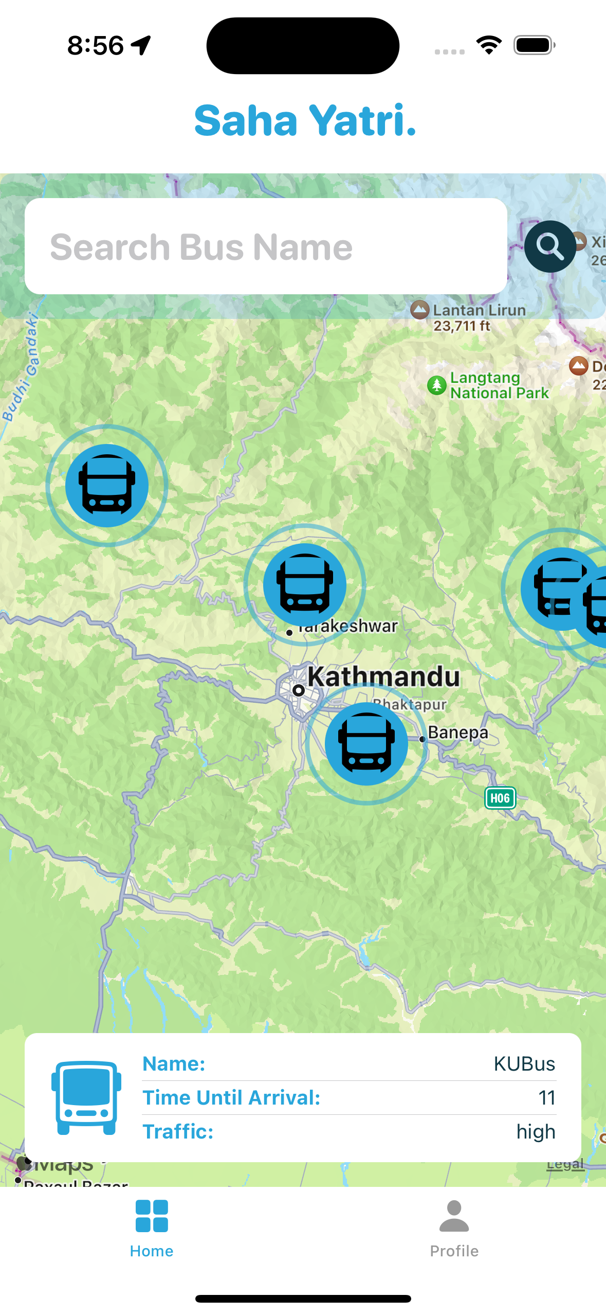
The bus and government vehicle tracking system is a real-time tracking system that uses GPS to track the location of buses, government vehicles, and passengers. The system provides users with a variety of features, including:
Real-time vehicle and passenger locations Estimated arrival times Route maps Passenger tracking (for public vehicles)
The system can also be integrated with a risk management system that can detect accidents and send alerts to authorized personnel.
How we built it
The bus and government vehicle tracking system was built using a variety of technologies, including:
iOS Application Development GPS Cloud computing
The system uses GPS to track the location of vehicles and passengers in real time. The data is then transmitted to a cloud-based server, where it is processed and made available to users through a iOS application.
Challenges we ran into
One of major challenge was developing the passenger tracking system. We had to carefully design the system to ensure that it could accurately track the location of passengers without compromising their privacy. Another challenge was to use data coming from GPS and sensors and parse them from cloud.
Accomplishments that we're proud of
We are proud of the fact that we have developed a real-time vehicle and passenger tracking system that can be used to improve transportation, public safety, and ride sharing. We are able to decode and parse the data coming from GPS and sensor and display in our app in appealing UIs.
What we learned
We learned a lot about developing vehicle and passenger tracking systems. We learned how to fetch coordinates from GPS device through firebase firestore.
What's next for SahaYatri
We plan to further develop the bus and government vehicle tracking system by adding new features and improving its accuracy and reliability.
Future Enhancements Risk management: The system could be enhanced to better manage risks by providing more detailed information about accidents and by sending alerts to more people, such as first responders.
Predictive analytics: The system could be enhanced to use predictive analytics to forecast traffic conditions and delays. This information could then be used to provide users with more accurate estimated arrival times and route recommendations.
Sensor Integration: The bus and government vehicle tracking system could be enhanced by integrating additional sensors, such as speed sensors and accelerometers. This would allow the system to collect more data about the vehicles, such as their speed, acceleration, and braking patterns. This data could then be used to predict traffic conditions and inform users about potential delays.
Integration with other systems: The system could be integrated with other systems, such as public transit apps, transportation management systems, and ride-sharing platforms. This would allow users to access information about the system through a variety of channels and make it easier for people to share rides.


Log in or sign up for Devpost to join the conversation.