-
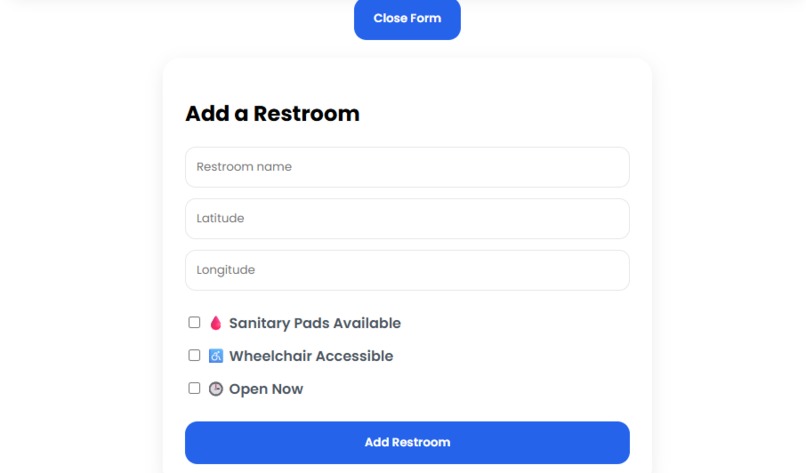
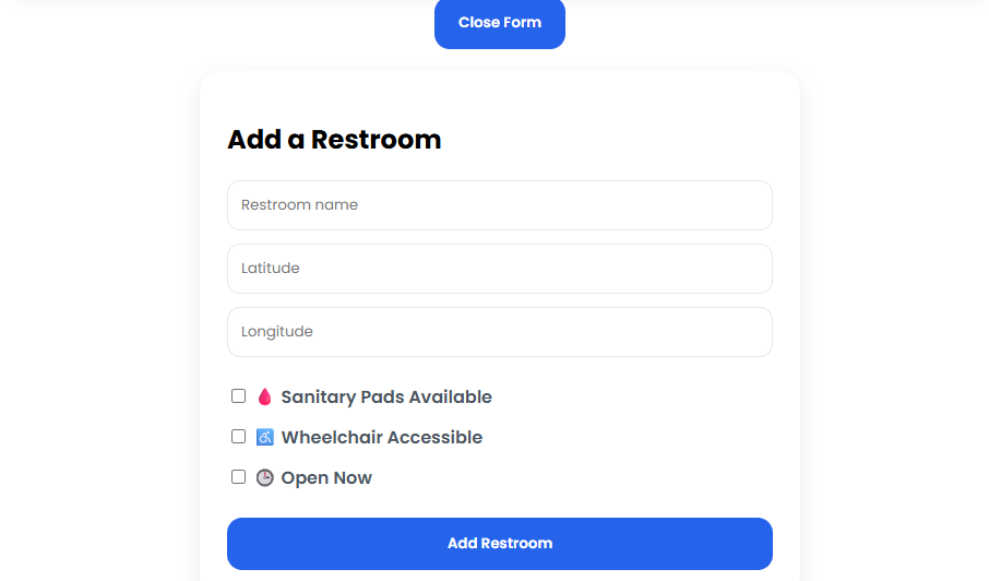
Add restroom form
-
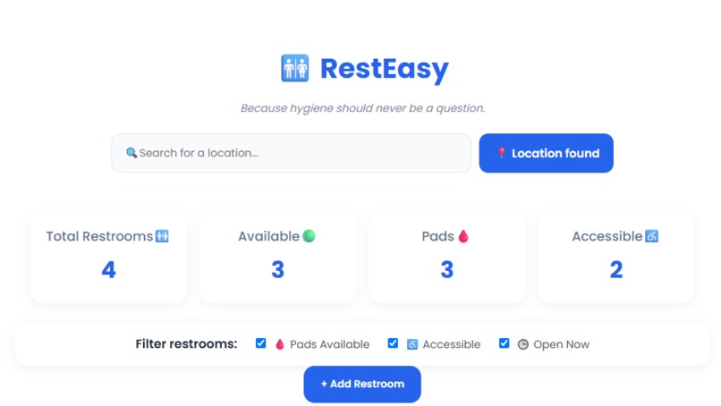
Main dashboard
-
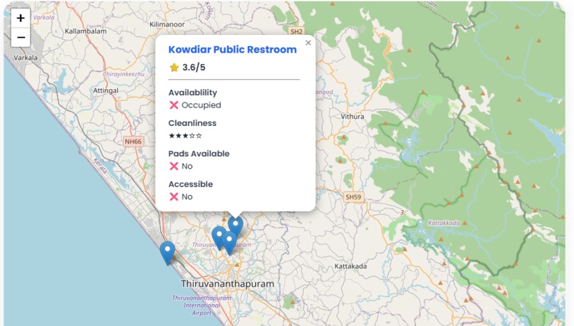
Restroom details
Inspiration
RestEasy was inspired by a simple but important community problem: finding a clean and accessible public restroom when you need one. Even when public restrooms are available, people often do not know where they are or whether they provide essential facilities such as sanitary pads and wheelchair accessibility. RestEasy aims to make essential public hygiene infrastructure easer to find because hygiene should never be a question.
What it does
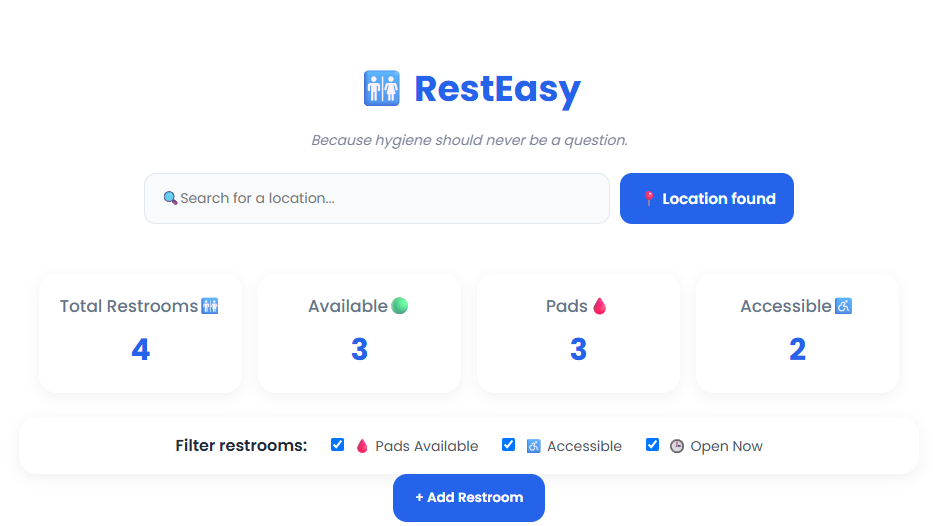
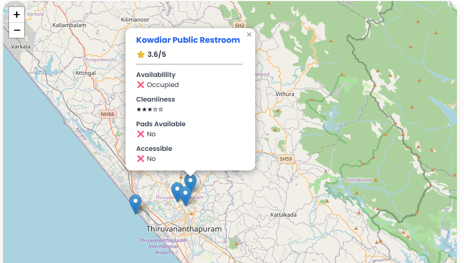
RestEasy is a location-based web application that helps users discover public restrooms through an interactive map. Users can search for a location, use their current location, view nearby restroom markers, and access information about restroom availability, cleanliness, ratings, sanitary pad availability, and wheelchair accessibility. Users can also filter restrooms based on their requirements and contribute new restroom locations to the platform.
How we built it
RestEasy was built using HTML, CSS, and JavaScript. Leaflet.js and OpenStreetMap were used to create the interactive map, while Nominatim geocoding enables location search. The browser's Geolocation API is used to detect the user's current location. JavaScript handles dynamic restroom markers, filtering, statistics, restroom details, and user-added restroom data. The application was designed with a responsive interface for both desktop and mobile devices and deployed using GitHub Pages.
Challenges we ran into
One of the biggest challenges was integrating multiple features without affecting existing functionality. Implementing dynamic map markers and filters required carefully managing which markers were displayed and removed. I also encountered challenges with geolocation permissions, location search, HTML element IDs, and dynamically updating statistics when new restrooms were added. Debugging these issues helped me understand how JavaScript, application data, and UI elements interact.
Accomplishments that we're proud of
I am proud of building a functional web application from scratch as a solo participant and turning a community problem into a working prototype. RestEasy combines an interactive map, geolocation, location search, dynamic filtering, restroom information, community contributions, and responsive design in a single application. Successfully deploying the project as a live web application was also an important milestone.
What we learned
Through building RestEasy, I learned the fundamentals of developing a complete web application using HTML, CSS, and JavaScript. I gained hands-on experience with APIs, geolocation, interactive maps, DOM manipulation, dynamic data filtering, responsive web design, debugging, GitHub, and web deployment. Most importantly, I learned how to break down a larger project into smaller development sprints and gradually turn an idea into a working MVP.
What's next for RestEasy
The current version of RestEasy is a prototype, and newly contributed restroom data is currently stored only during the active session. The next step is to integrate a database for persistent storage and expand the platform with verified community contributions, user authentication, reviews, and real-time facility updates. RestEasy could grow into a community-driven platform with wider geographic coverage and reliable information about public hygiene infrastructure.
Built With
- css3
- geolocationapi
- github
- githubpages
- html5
- javascript
- leaflet.js
- nominatim
- openstreetmap
- visual-studio

Log in or sign up for Devpost to join the conversation.