-
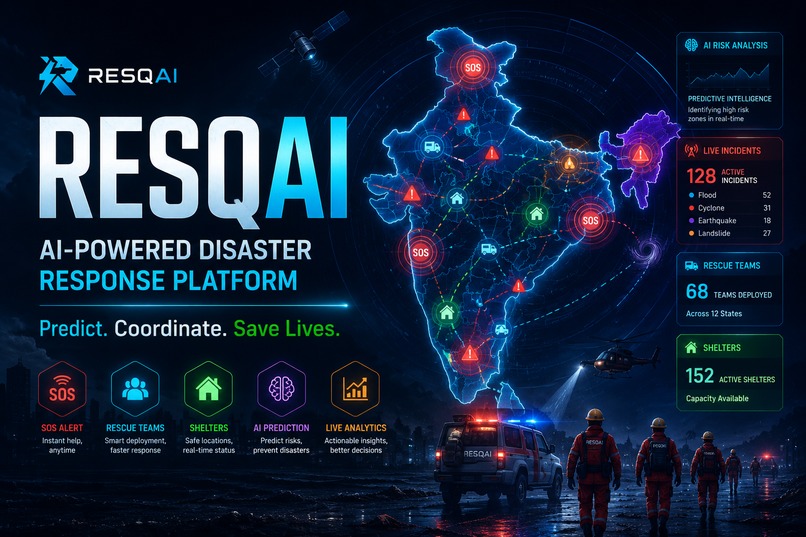
RESQAI — AI-Powered Disaster Response Platform | Predict. Coordinate. Save Lives.
-
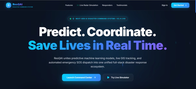
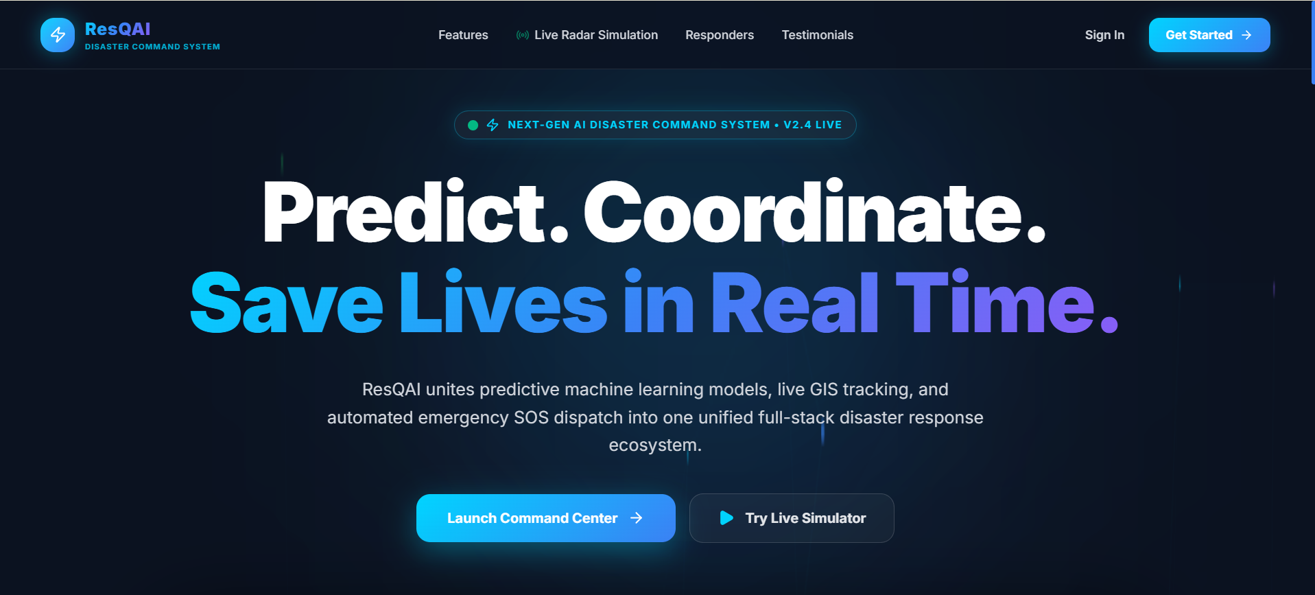
Landing Hero Page
-
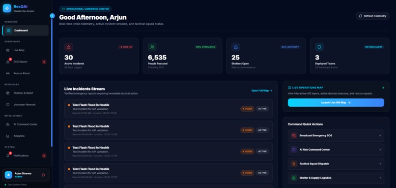
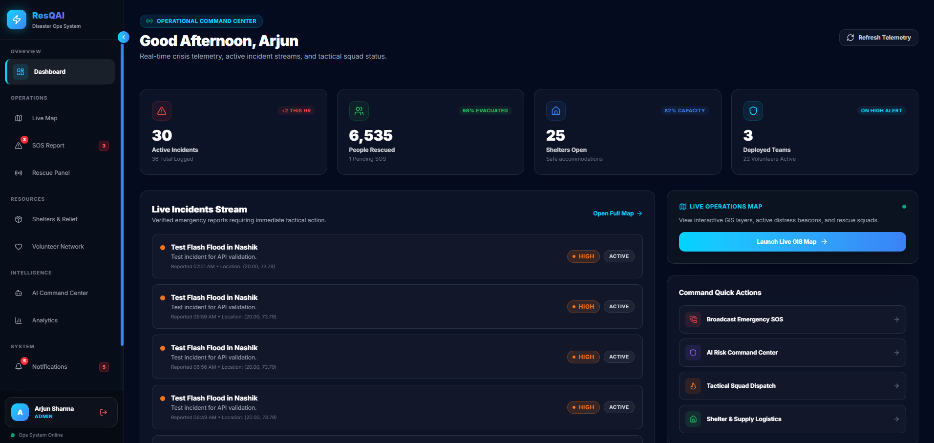
Operational Command Dashboard
-
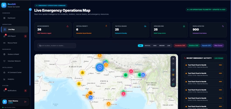
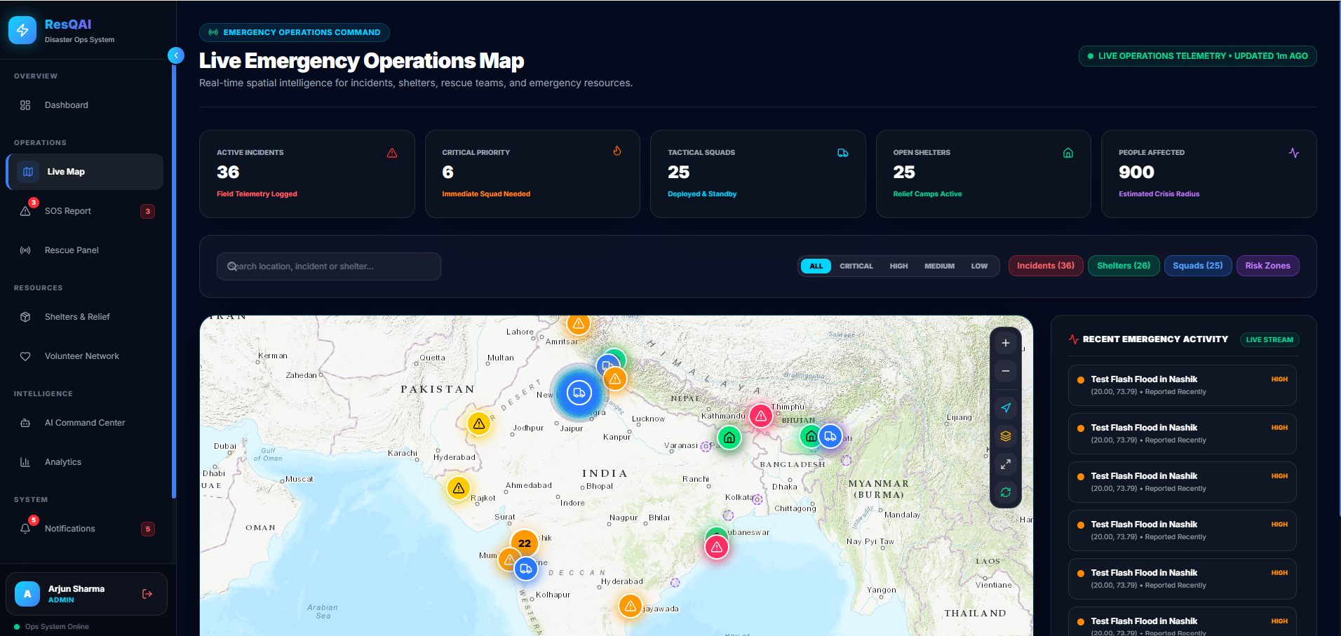
Live Emergency Operations Map
-
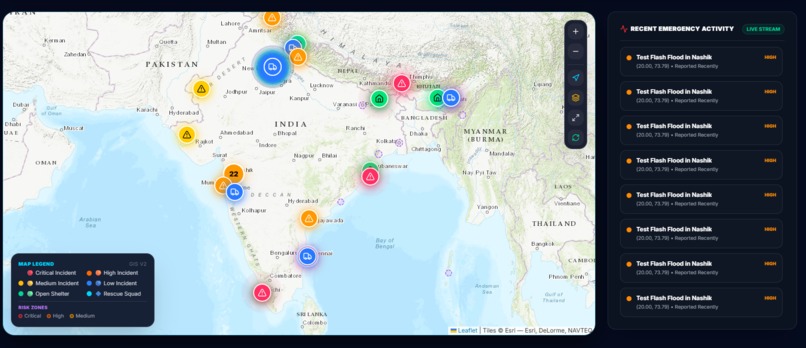
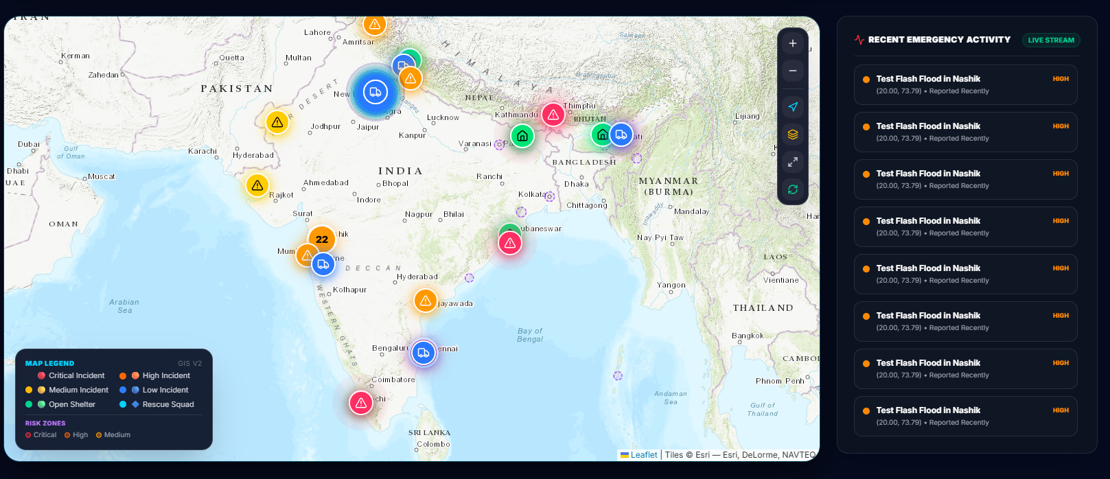
Live Map Spatial Telemetry
-
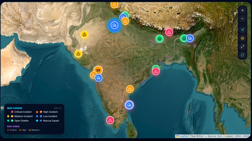
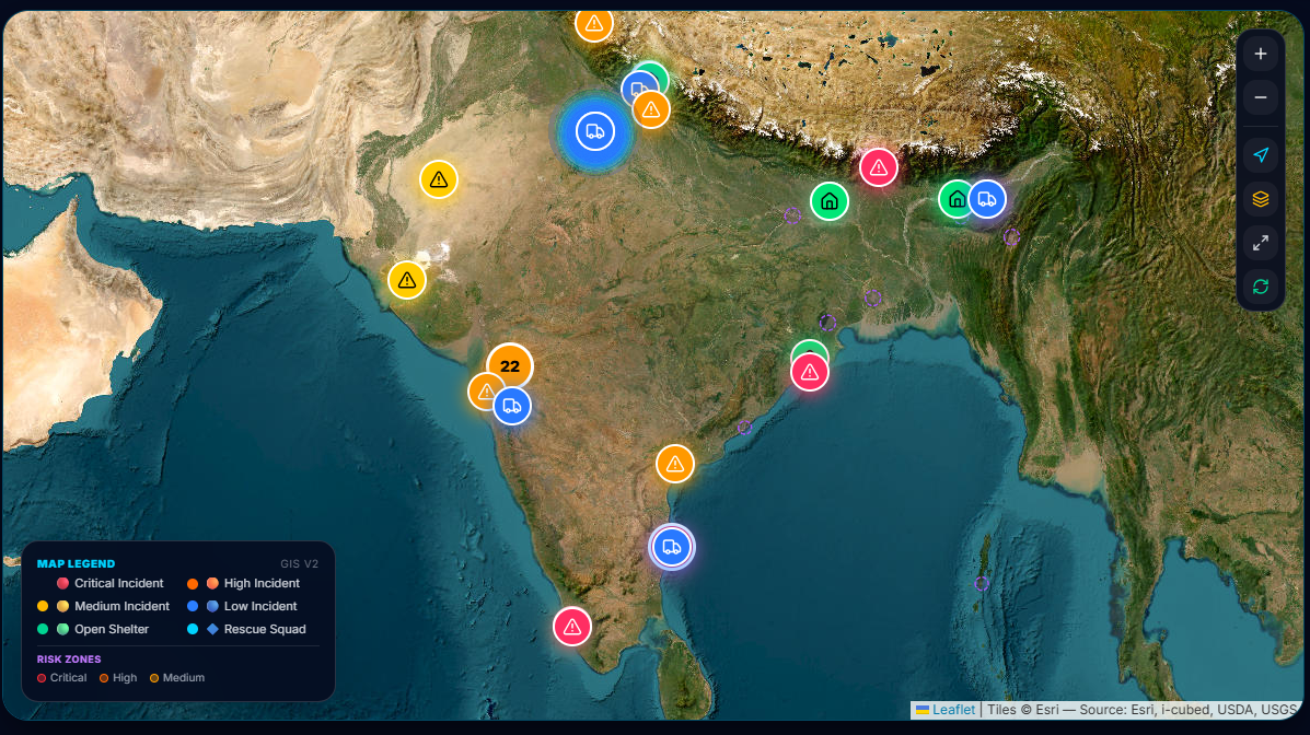
GIS Satellite & Basemap Layers
-
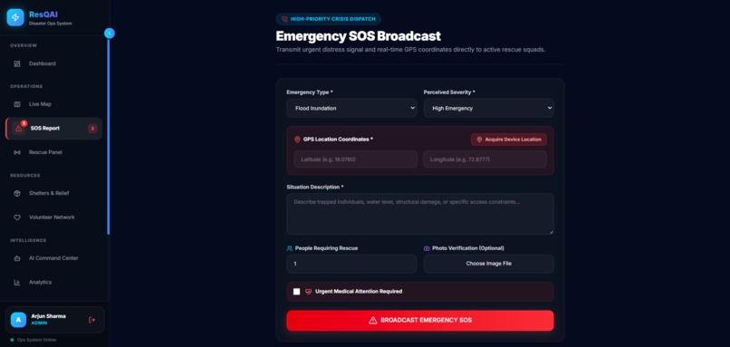
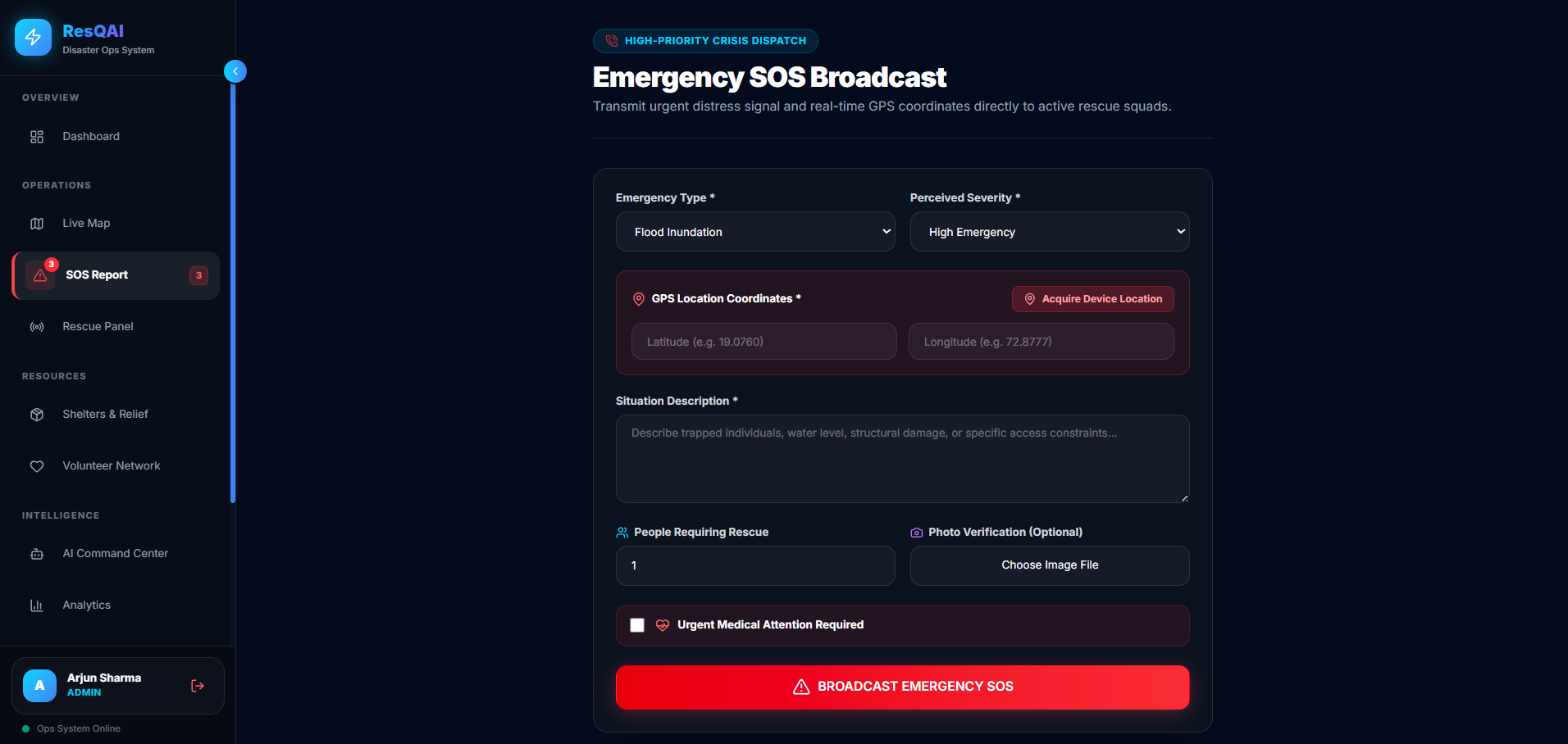
Citizen SOS Emergency Broadcast
-
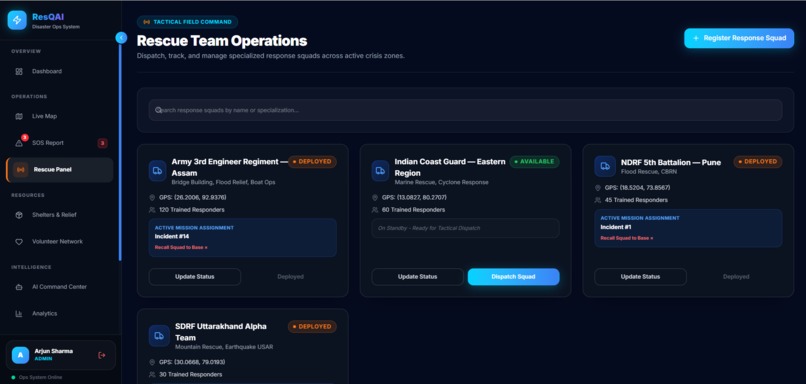
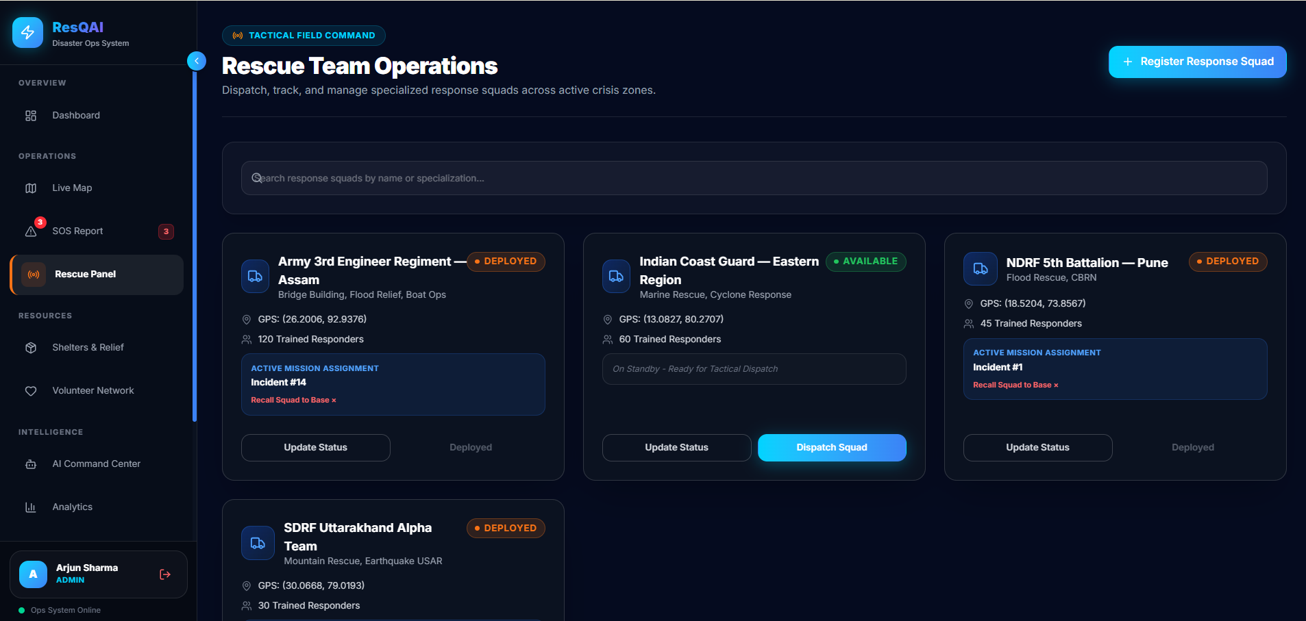
Rescue Team Squad Operations
-
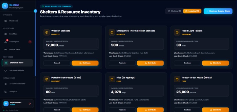
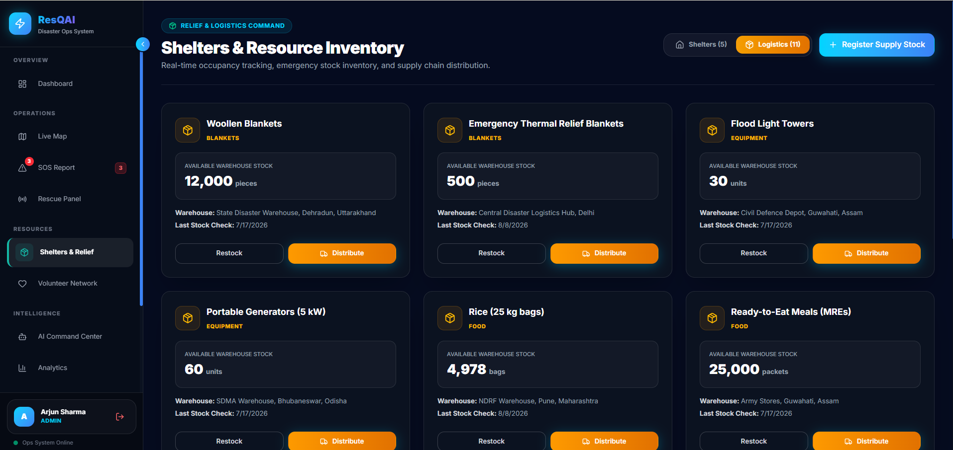
Shelters & Resource Inventory
-
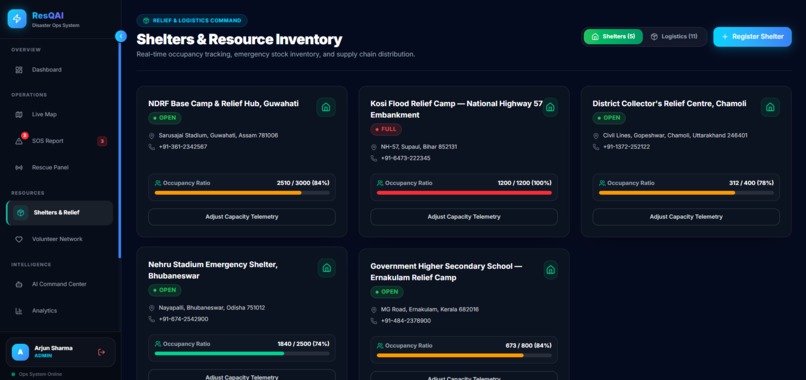
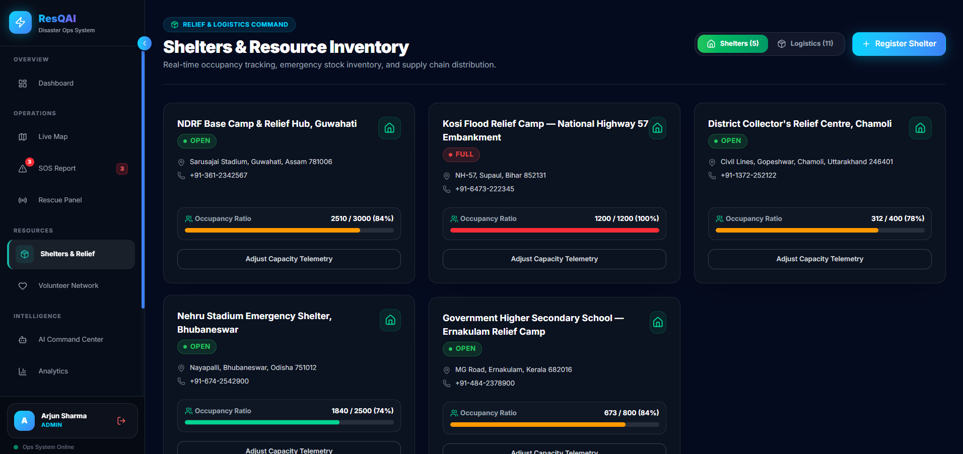
Relief Shelter Management
-
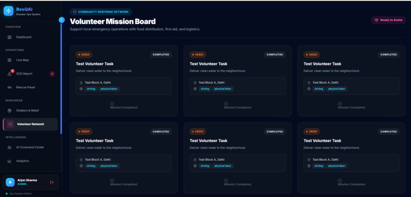
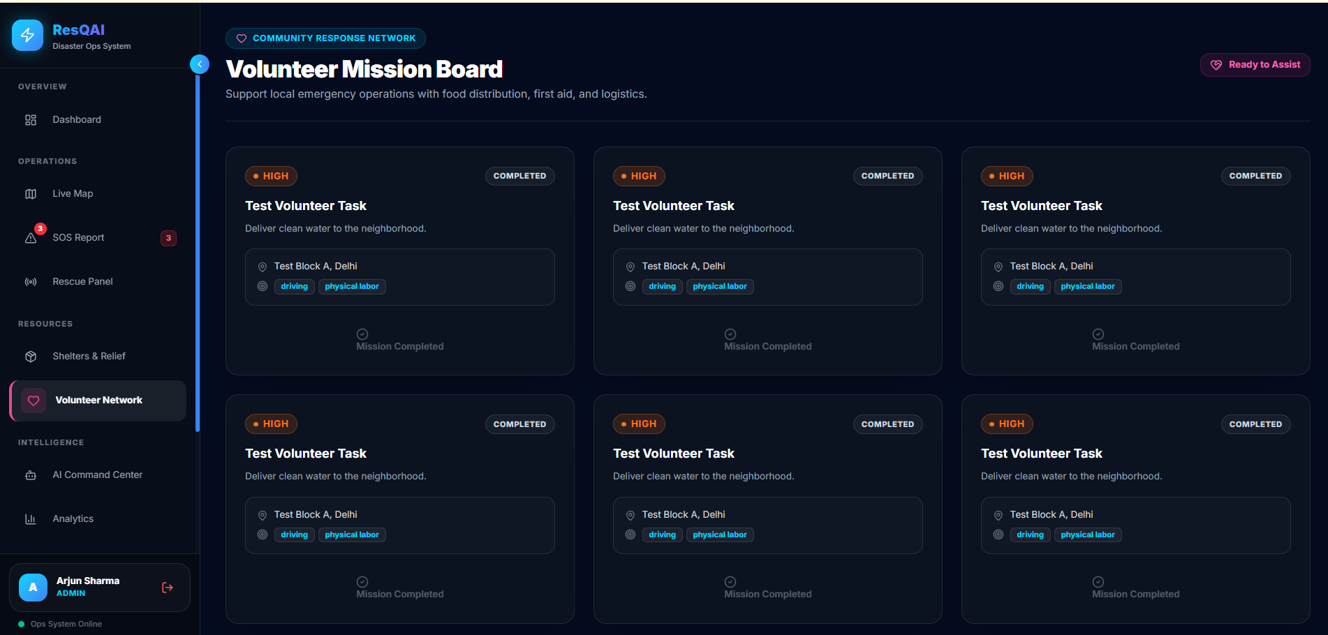
Volunteer Mission Task Board
-
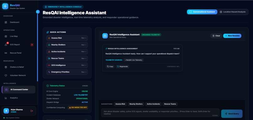
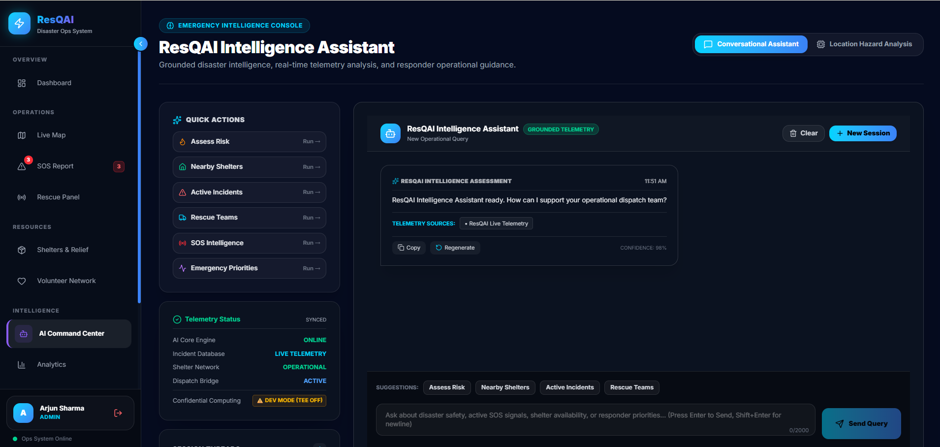
ResQAI Intelligence Assistant
-
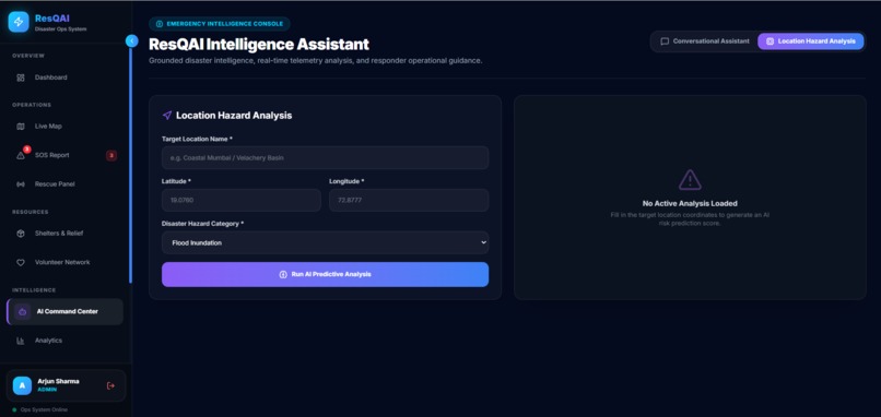
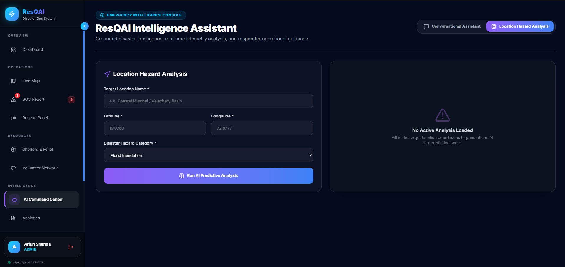
Automated AI Risk Assessment
-
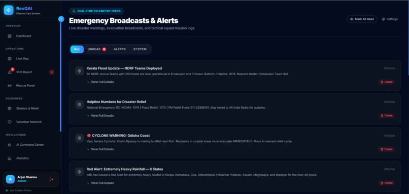
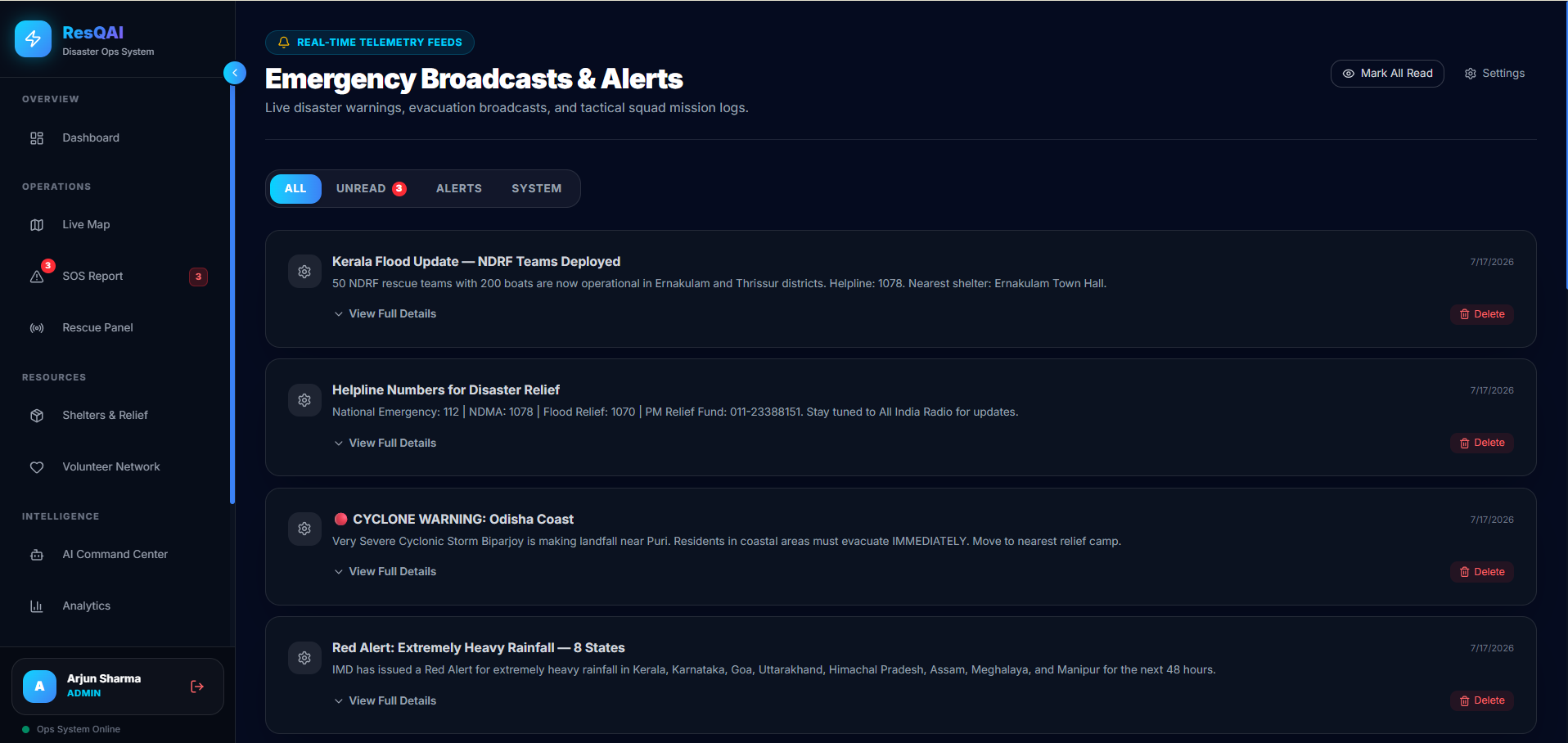
Emergency Broadcasts & Alerts Center
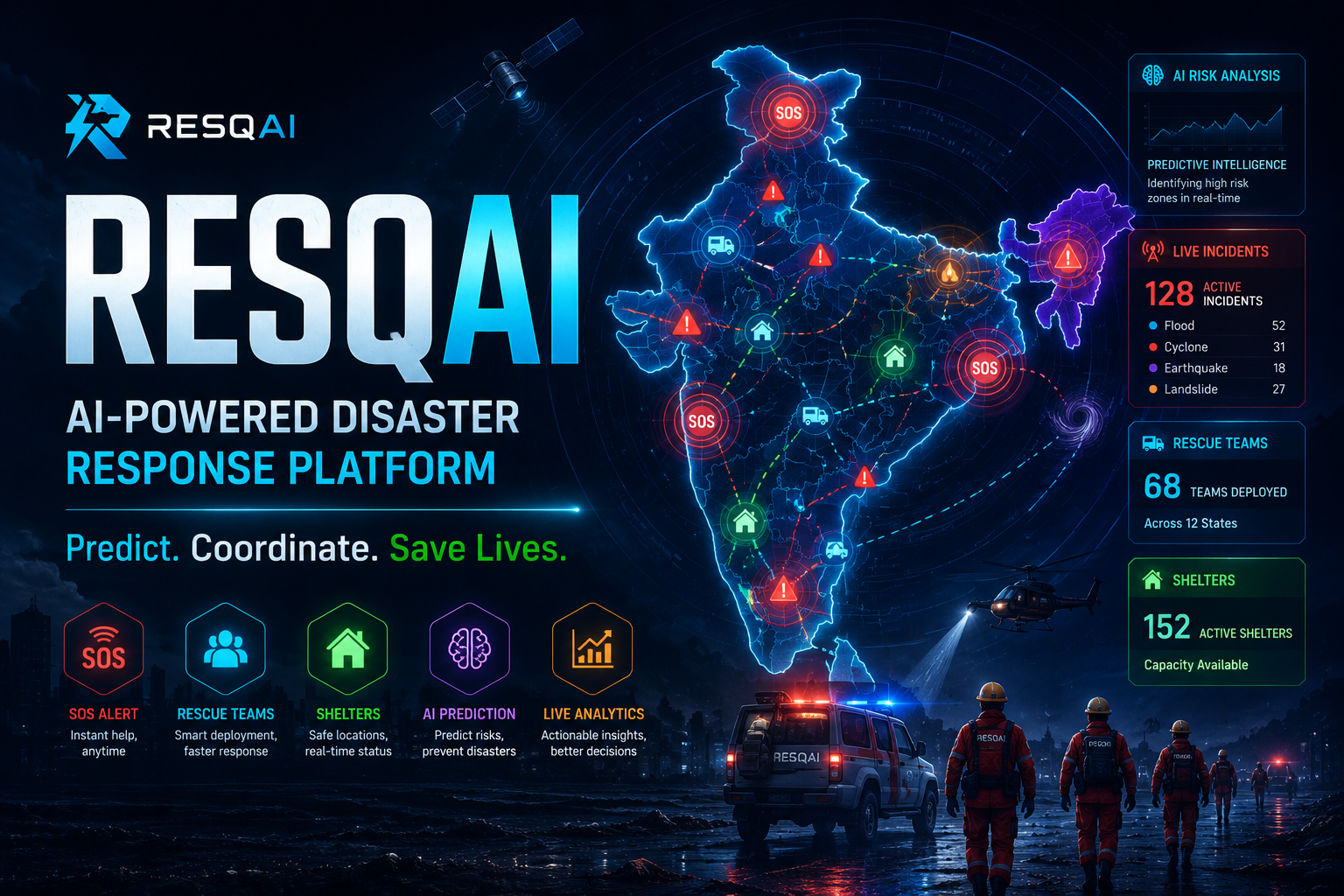
🌍 ResQAI — AI-Powered Disaster Response Platform
Inspiration
During disasters such as floods, cyclones, earthquakes, wildfires, and landslides, emergency teams often have to make critical decisions with incomplete and fragmented information.
We wanted to build a unified disaster-response platform that brings incident reporting, live geospatial intelligence, emergency coordination, resource management, and AI-assisted decision support into one system.
The idea behind ResQAI is simple:
Turn scattered emergency information into actionable intelligence — faster.
Our goal is to help emergency responders identify high-priority incidents, understand what is happening geographically, coordinate rescue operations, and manage relief resources from a single command center.
What it does
ResQAI is a full-stack disaster intelligence and response platform designed for emergency operations.
🚨 Emergency Response
- One-tap SOS emergency reporting
- Incident creation and tracking
- Incident severity and priority classification
- Emergency status monitoring
- Responder and rescue-team coordination
🗺️ Geospatial Intelligence
- Interactive live emergency operations map
- Geographic visualization of incidents and emergency resources
- Incident severity filtering
- Shelter and rescue-team visualization
- Risk-zone visualization
🤖 AI-Assisted Intelligence
- AI-powered incident prioritization
- Disaster risk analysis
- Decision-support workflows for emergency operations
- Intelligence-driven response planning
📊 Command Center
- Real-time incident analytics
- Critical-priority monitoring
- Active incident tracking
- Shelter and resource visibility
- Emergency activity monitoring
📚 Backend & API
ResQAI is powered by a dedicated backend API supporting:
- Authentication and user management
- Incident management
- Emergency reporting
- Analytics
- Notifications
- Security and operational intelligence
- REST API documentation through OpenAPI/Swagger
How we built it
We built ResQAI as a modular full-stack platform with a separate frontend and backend architecture.
Frontend
- React
- TypeScript
- Tailwind CSS
- Interactive dashboard interfaces
- Responsive emergency operations UI
- Interactive geospatial mapping
Backend
- Python
- FastAPI
- PostgreSQL
- REST APIs
- JWT-based authentication
- OpenAPI documentation
Deployment
The application is deployed as separate production services:
- Frontend: Vercel
- Backend API: Vercel
- PostgreSQL database: Neon
This architecture allows the frontend, API, and database layers to evolve independently while keeping the system cloud-ready.
Challenges we faced
Building a disaster-response system presented several challenges.
1. Designing for emergency situations
Emergency interfaces need to communicate important information immediately without overwhelming the user. We focused on clear hierarchy, priority indicators, and quick-access actions.
2. Connecting geospatial information with operational data
Incidents, shelters, rescue teams, and risk zones need to be understood spatially. We designed the live operations map to connect geographic information with operational status.
3. Prioritizing incidents
Not every emergency has the same urgency. We designed incident severity and prioritization workflows to help responders focus on the situations requiring immediate attention.
4. Building a scalable backend
The platform contains multiple operational modules, including authentication, incidents, analytics, notifications, and resource management. We structured the backend as modular APIs so additional capabilities can be integrated later.
5. Deploying a complete production system
Moving from a local prototype to a working cloud deployment required configuring the frontend, backend API, PostgreSQL database, environment variables, and production connectivity.
What we learned
Building ResQAI helped us understand how software engineering, AI, and geospatial technologies can work together to solve real-world problems.
We gained practical experience with:
- Full-stack application architecture
- REST API design
- PostgreSQL database integration
- AI-assisted decision-support workflows
- Geospatial visualization
- Emergency response workflows
- Authentication and authorization
- Cloud deployment
- Production environment configuration
- Responsive dashboard design
Most importantly, we learned that technology for emergency response must prioritize clarity, reliability, speed, and usability alongside technical capability.
Future Improvements
ResQAI is designed as a foundation that can be extended with additional real-world data and AI capabilities.
Our roadmap includes:
- 🛰️ Satellite imagery analysis
- 🚁 Drone-based disaster assessment
- 👁️ Computer-vision damage detection
- 🗣️ Voice-enabled multilingual emergency assistant
- 📡 Offline functionality for low-connectivity regions
- 🧭 Predictive evacuation planning
- 📟 IoT disaster sensors
- 📱 Dedicated mobile application
- 🚑 AI-powered rescue-route optimization
- 🌦️ Integration with official weather and disaster-data sources
- 📍 More advanced real-time GIS intelligence
Impact
ResQAI aims to improve the speed and quality of emergency decision-making by giving responders a unified view of incidents, geographic conditions, resources, and operational priorities.
Instead of relying on disconnected information sources, emergency teams can use a centralized command system to:
Detect → Prioritize → Coordinate → Respond
Our long-term vision is to help communities and emergency organizations build faster, smarter, and more coordinated disaster-response operations.
ResQAI — Predict. Coordinate. Save Lives in Real Time.
Built With
- ai
- api
- chart.js
- computervision
- css
- docker
- fastapi
- git
- github
- jwt
- leaflet.js
- machine-learning
- opencv
- openstreetmap
- postgresql
- python
- react
- redis
- render
- rest
- restapi
- tailwind
- tensorflow
- typescript
- yolo

Log in or sign up for Devpost to join the conversation.