-
-
FloodWatch AI uses satellite data and AI to map floods, assess damage, and identify isolated communities for faster disaster response.
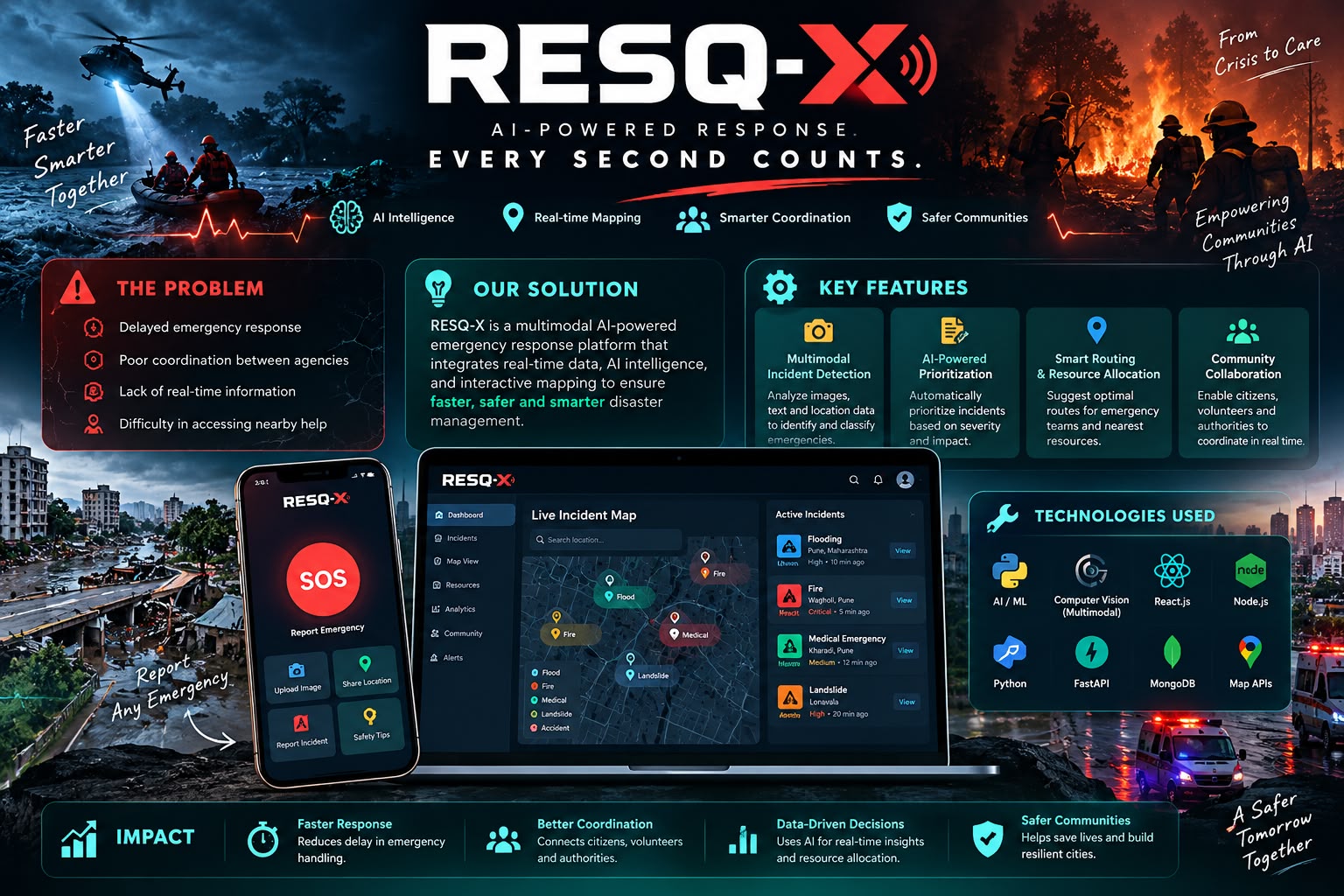
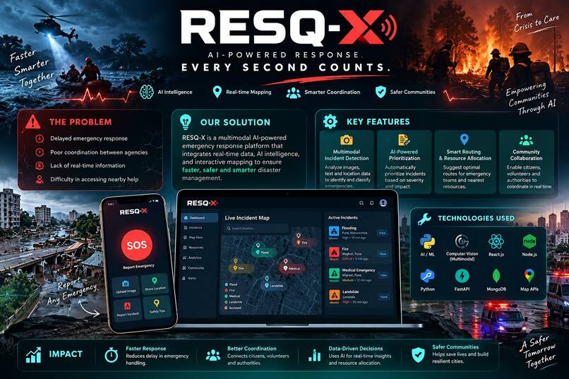
The inspiration behind our project, RESQ-X, comes from the increasing impact of floods and the challenges people face during disasters. Floods can destroy homes, damage infrastructure, disrupt transportation, and put countless lives at risk. One of the biggest challenges during such emergencies is the lack of timely information about affected areas, making rescue operations and resource allocation difficult. We wanted to develop a technology-driven solution that helps people and authorities understand flood situations more effectively. Our project uses interactive maps, geographical visualization, and color-coded indicators to highlight affected regions and provide essential information for better decision-making. Our vision is to make disaster management smarter, faster, and more accessible through technology. By combining mapping technology with disaster awareness, RESQ-X aims to support emergency preparedness, improve situational awareness, and contribute towards saving lives and minimizing damage during flood emergencies.
Built With
- ai-powered-decision-support
- artificial-intelligence
- climate-resilience
- computer-vision
- connectivity-analysis
- copernicus-data-space
- damage-assessment
- deep-learning
- dem-analysis
- disaster-management
- disaster-response
- flood-detection
- flood-mapping
- geospatial-analysis
- gis
- humanitarian
- infrastructure-monitoring
- machine-learning
- openstreetmap
- remote-sensing
- road-network-analysis
- satellite-imagery
- sentinel-1
- sentinel-2
- situation-report-generation

Log in or sign up for Devpost to join the conversation.