-
Home Page
-
Features
Inspiration
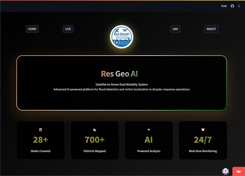
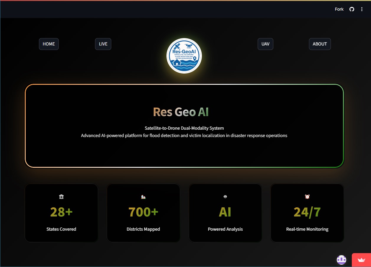
The devastating impact of recurring floods across India inspired the development of ResGeoAI. During monsoon seasons, the lack of timely flood detection and the difficulty in locating stranded victims lead to preventable losses. Observing this challenge, we envisioned a unified system that could rapidly detect floods using satellite imagery and pinpoint victims using drone surveillance.
What We Learned
Building this system offered deep insights into the synergy between remote sensing and autonomous UAV technologies. We gained hands-on experience in fusing satellite-derived data with real-time drone feeds, integrating geospatial analysis with computer vision for meaningful disaster response outcomes.
How We Built It
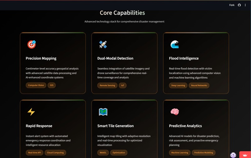
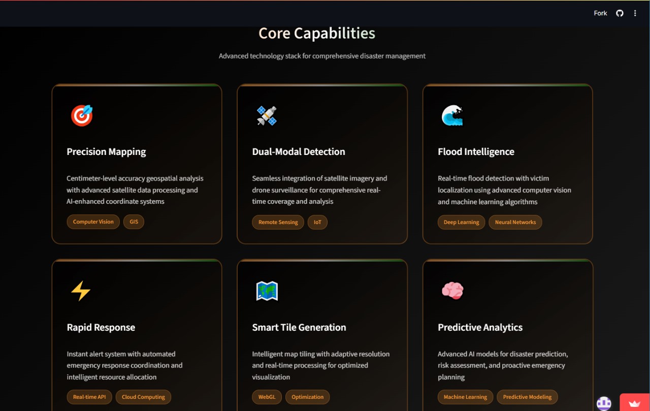
The system was developed using a modular architecture:
Satellite Intelligence Module for flood detection through multispectral analysis.
Autonomous UAV Integration for human detection using computer vision and thermal imaging.
Geospatial Processing Engine to handle map projections, tiling, and real-time rendering.
Streamlit was used to create an interactive dashboard that fuses these modalities into a single interface.
We used datasets including Indian administrative boundaries and historical satellite flood images. Custom deep learning models were trained using PyTorch and TensorFlow for both flood segmentation and victim localization.
Challenges Faced
Data Alignment: Ensuring accurate registration between satellite and drone imagery across varied resolutions and coordinate systems.
Real-Time Processing: Minimizing latency while processing high-resolution drone images and satellite raster data simultaneously.
Infrastructure Constraints: Optimizing system performance within limited GPU and memory resources for real-time inference.
Thermal Detection: Differentiating heat signatures in varying daylight and terrain conditions posed modeling difficulties.
Built With
- folium
- opencv
- openstreetmap
- python
- rasterio
- streamlit


Log in or sign up for Devpost to join the conversation.