🌍 Inspiration
When a disaster happens, people don't just need information — they need the right help at the right place and at the right time.
During emergencies, citizens may need food, shelter, medical assistance, or rescue support, while NGOs have resources and volunteers are ready to help. However, these groups can become disconnected, information can be scattered, and coordinating relief manually can cause delays.
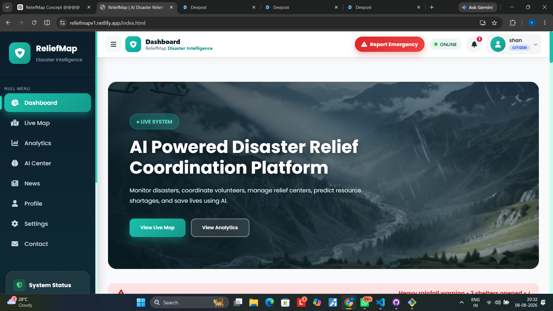
That inspired us to build ReliefMap — a disaster-relief coordination platform designed to connect Citizens, NGOs, and Volunteers through one centralized system.
Our goal is simple:
Turn scattered disaster-response information into coordinated action.
⚡ What it does
ReliefMap is a role-based disaster relief coordination platform that connects three key groups:
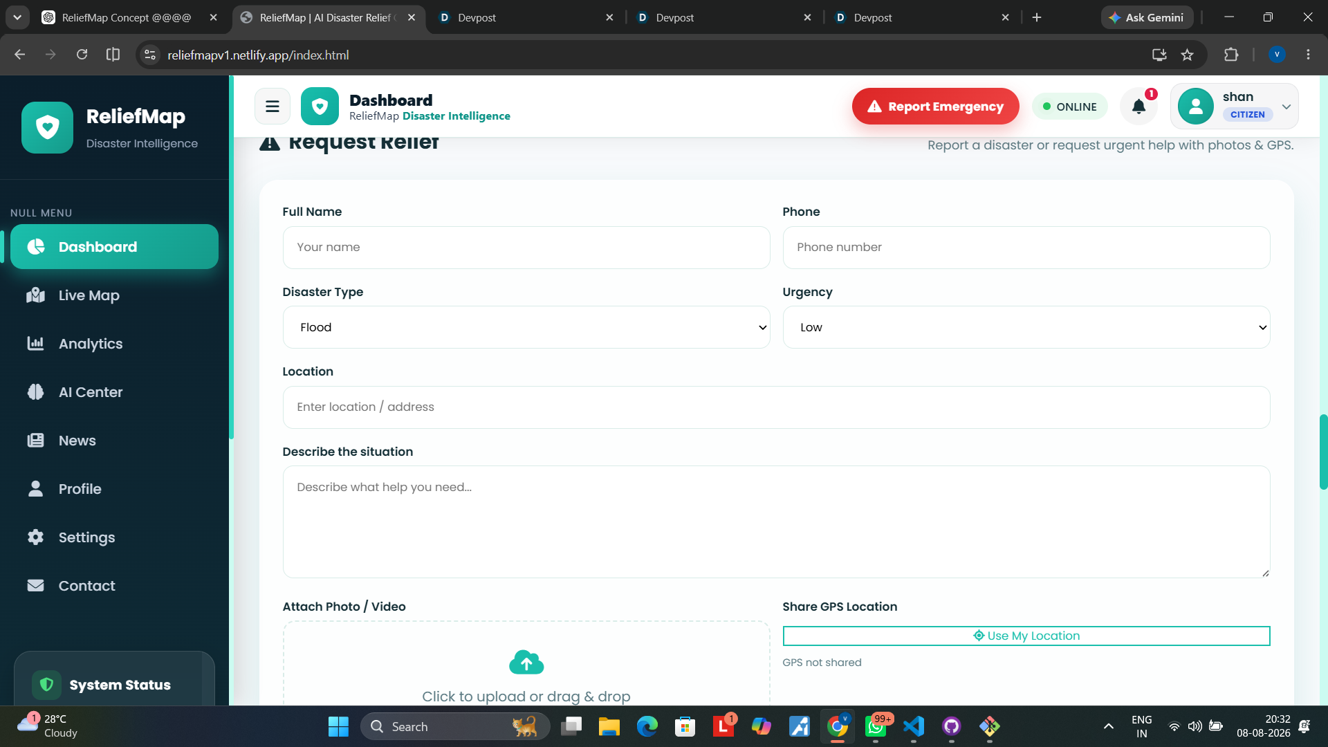
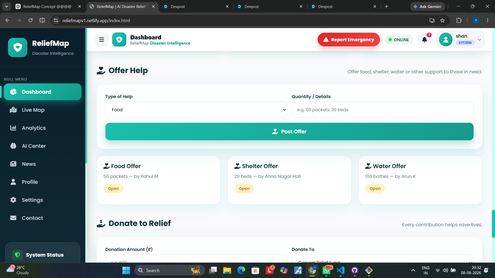
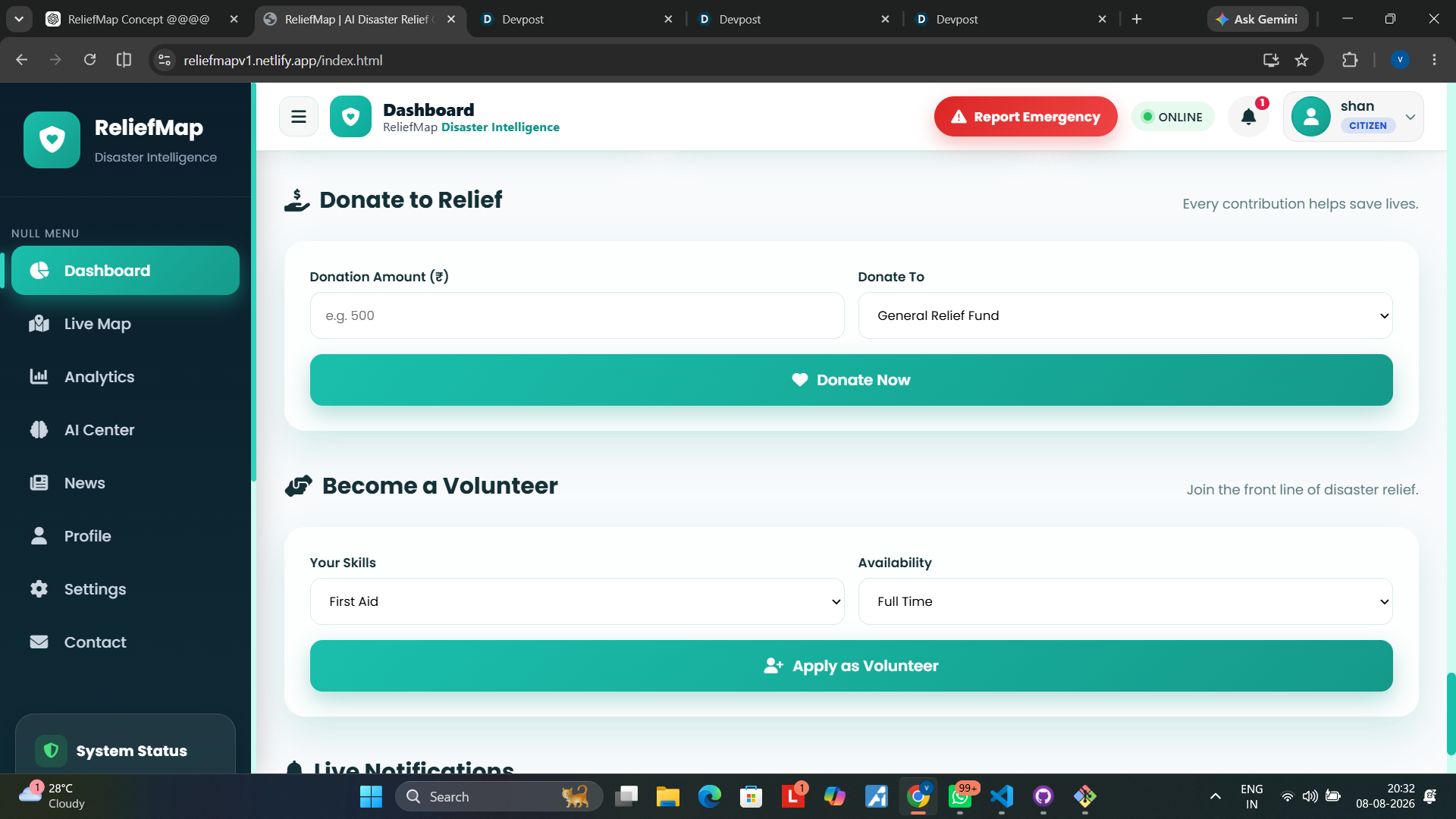
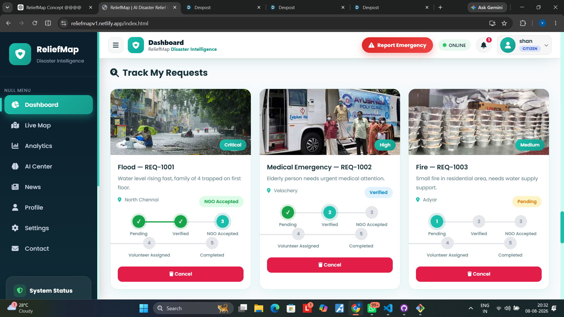
👤 Citizens
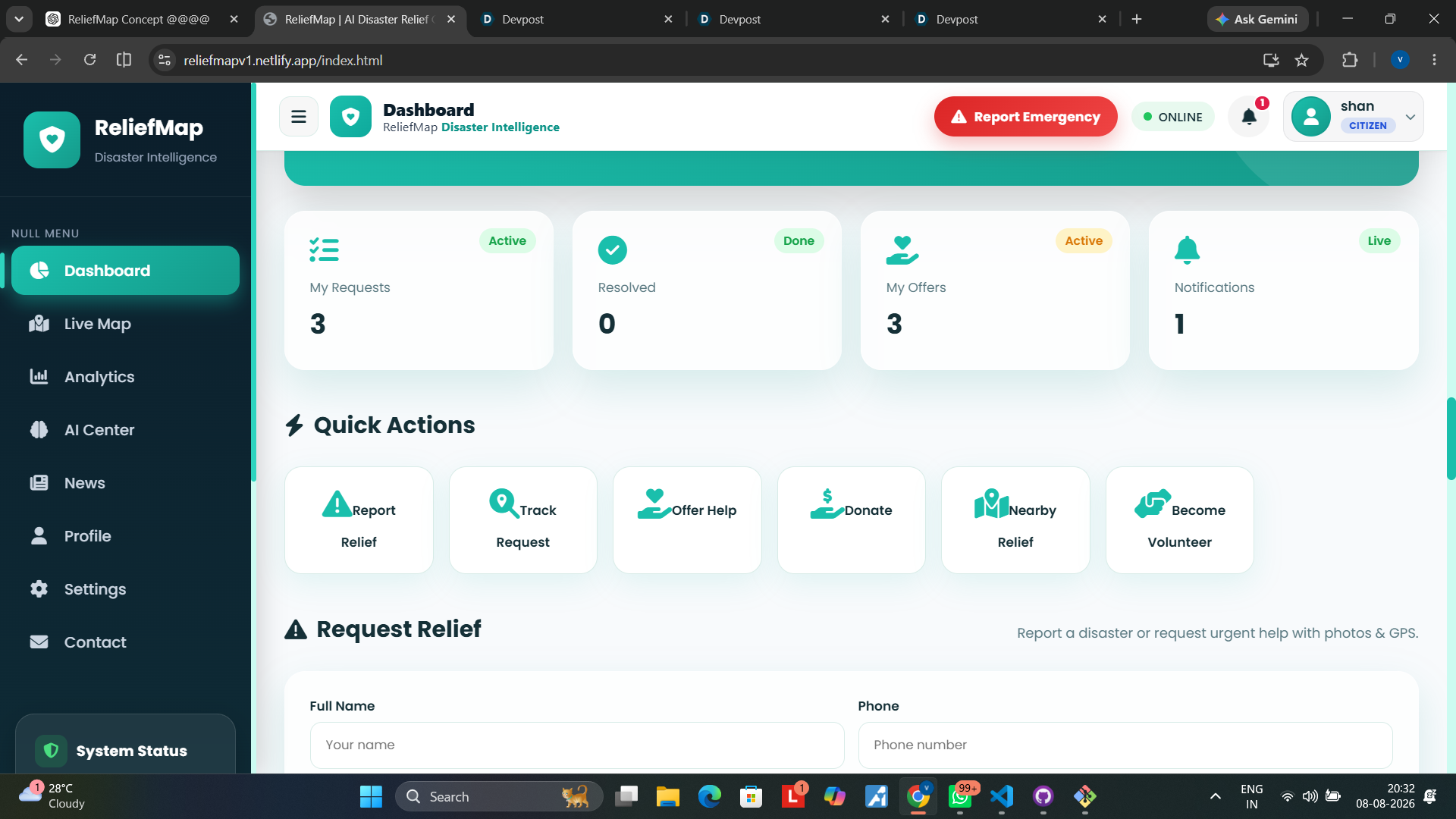
Citizens can:
- Report disasters or request assistance
- Describe their needs
- Share their location
- Upload images/evidence when required
- Track their requests
- Receive updates about their assistance
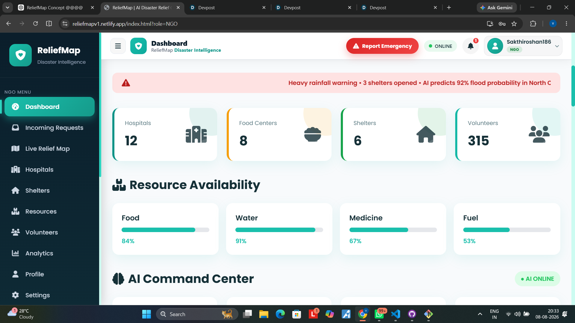
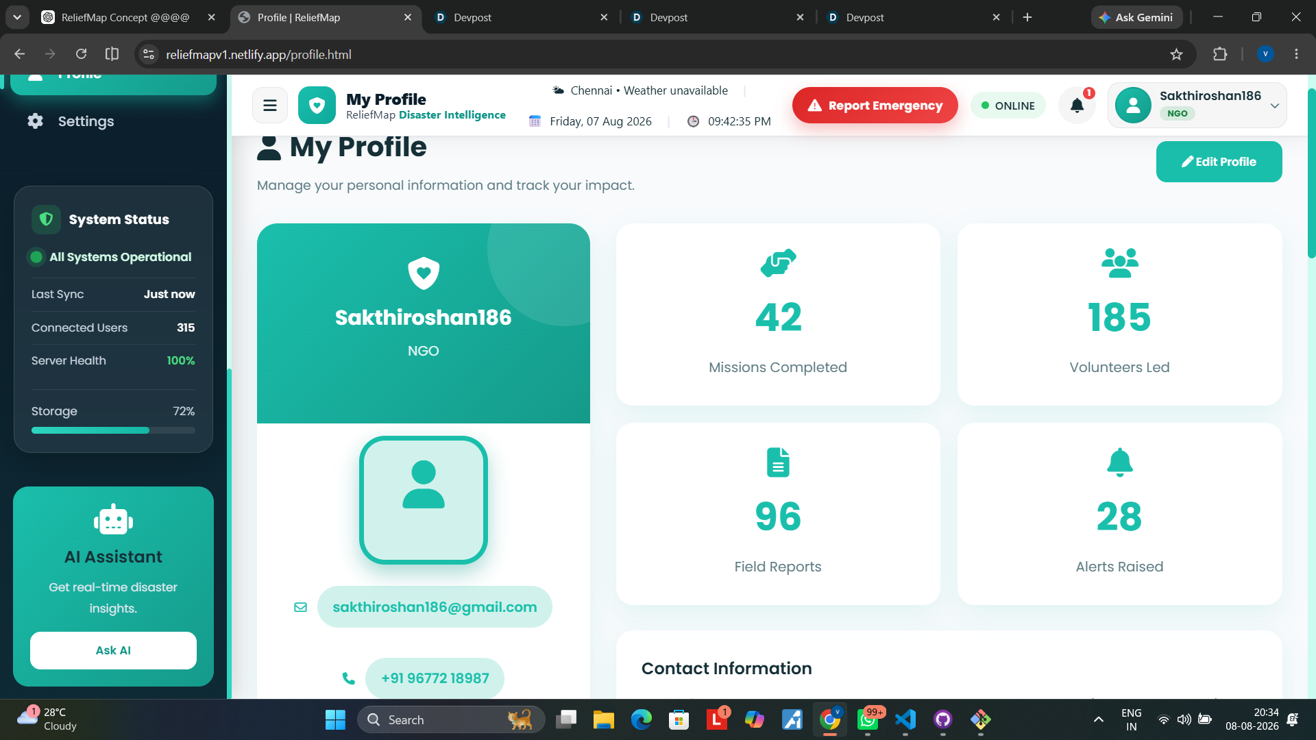
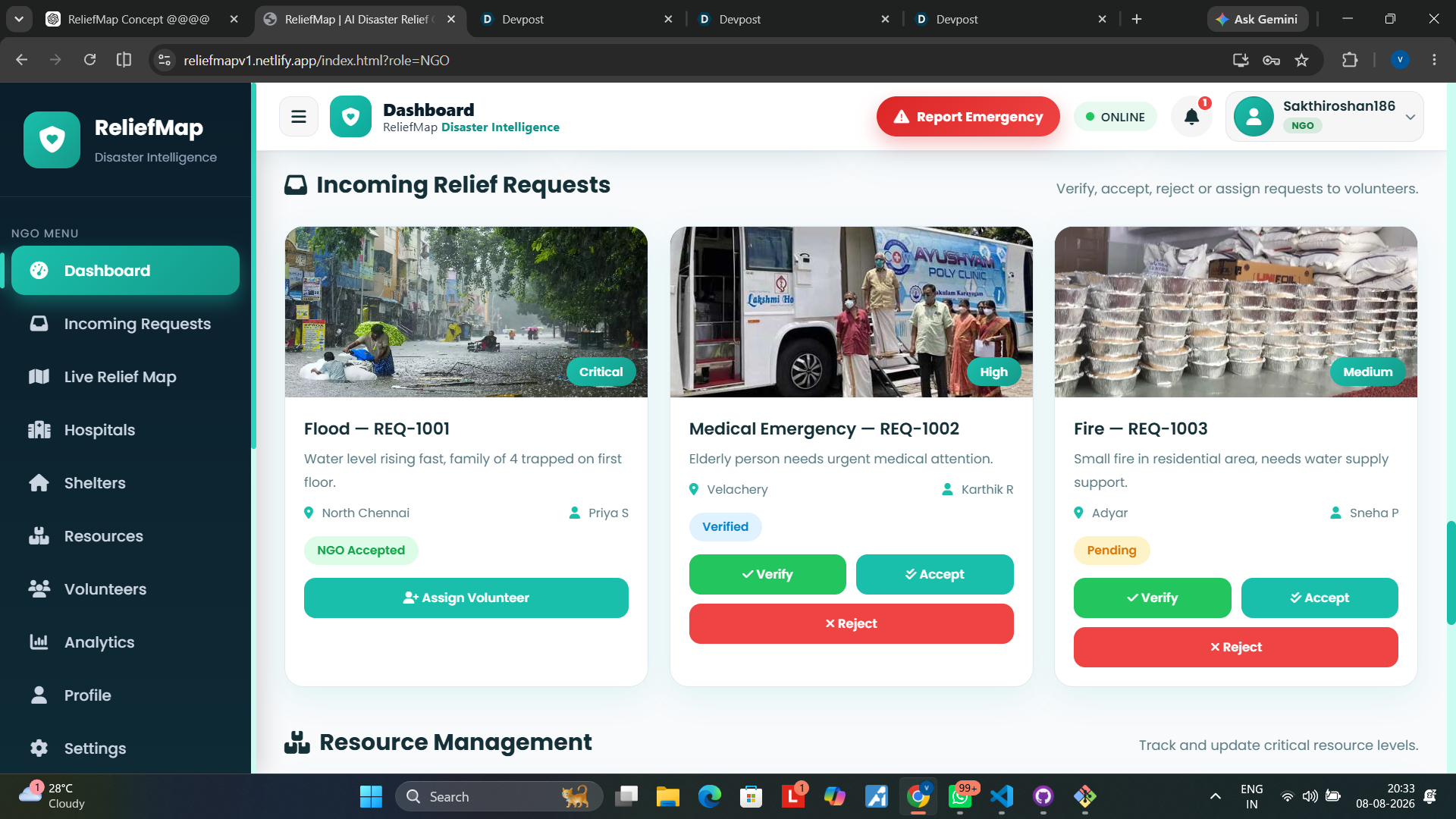
🏢 NGOs
NGOs can:
- View incoming citizen requests
- Monitor relief requirements
- Coordinate resources
- Manage relief activities
- Assign tasks to volunteers
- Track ongoing missions
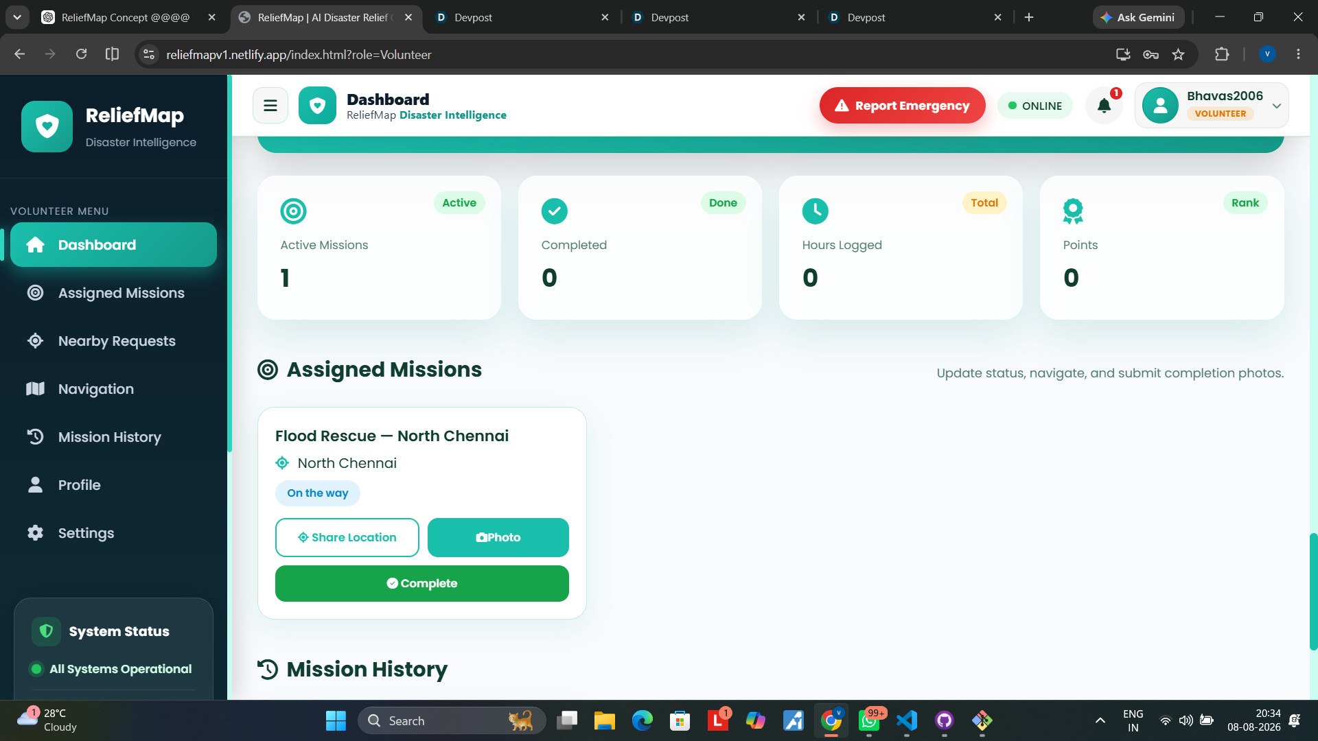
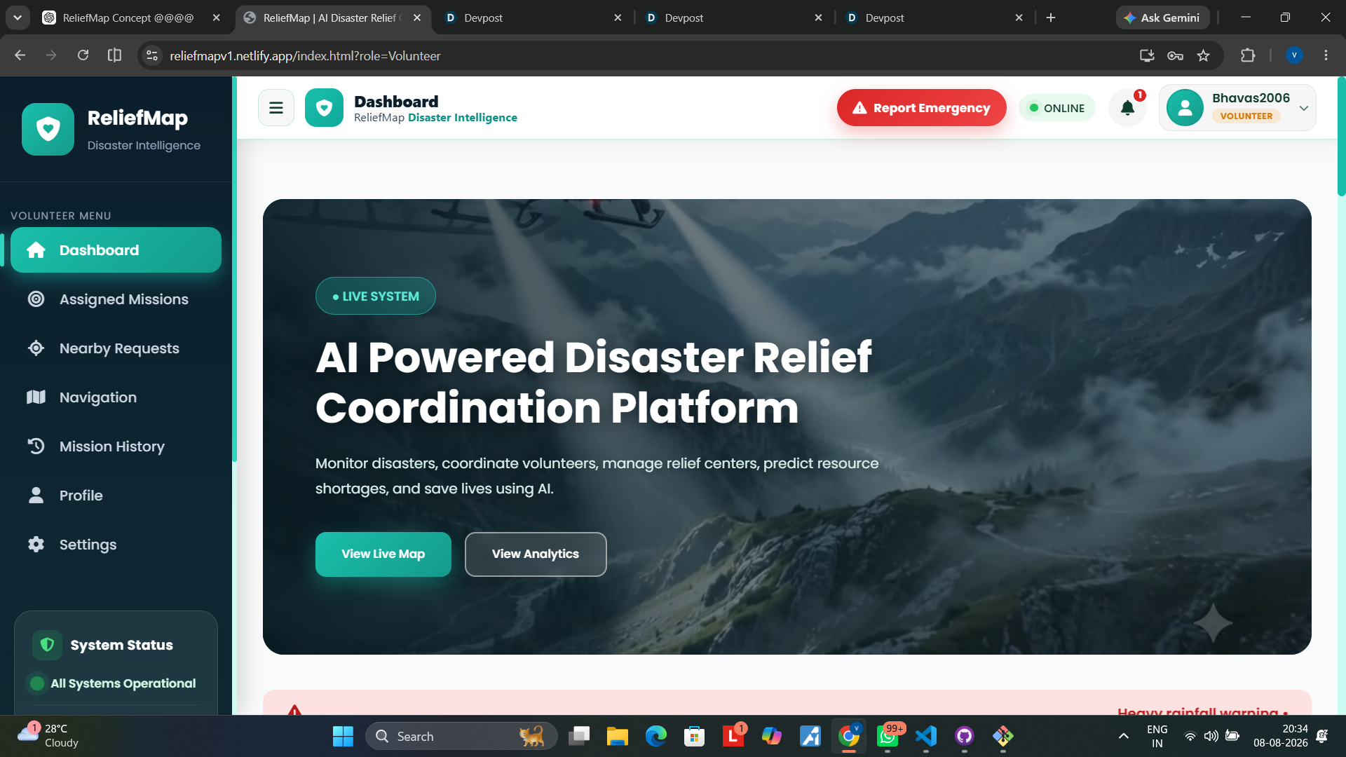
🧑🚒 Volunteers
Volunteers can:
- Receive relief assignments
- Accept missions
- View task and location information
- Help fulfil citizen requests
- Receive notifications and mission updates
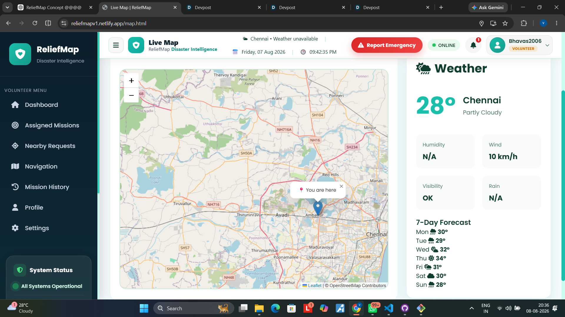
🗺️ Relief Map
ReliefMap provides geographical visibility of:
- Hospitals
- Shelters
- Food/resource centers
- NGOs
- Volunteers
- Relief requests
- Disaster locations
This helps responders understand where help is needed and where help is available.
🧩 How we built it
ReliefMap uses a web-based architecture with a lightweight frontend and Python backend.
Frontend:
- HTML5
- CSS3
- JavaScript
Backend:
- Python
- Flask
- REST APIs
The Flask backend handles application logic, authentication, requests, reports, users, dashboard data, and communication between the frontend and backend.
Database:
- SQLite for the current prototype
The database stores application data such as users, disaster reports, missions, and other relief information.
Mapping:
- Leaflet.js
- OpenStreetMap
The mapping layer provides interactive geographical visualization of disaster and relief-related locations.
Offline capability: ReliefMap follows an offline-first approach using web/PWA technologies such as Service Worker to keep important application resources available during connectivity interruptions.
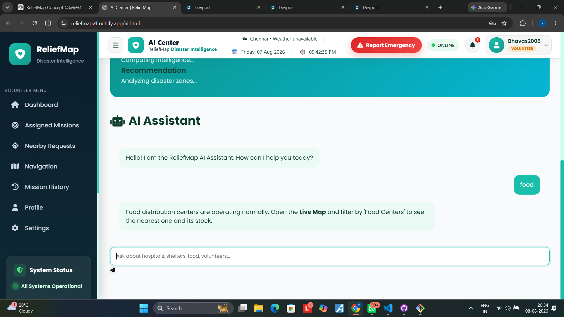
AI Assistance: ReliefMap includes an AI assistance layer to help users access disaster-related information and support decision-making.
The AI is designed as an assistance and decision-support component rather than replacing human emergency authorities.
🚧 Challenges we ran into
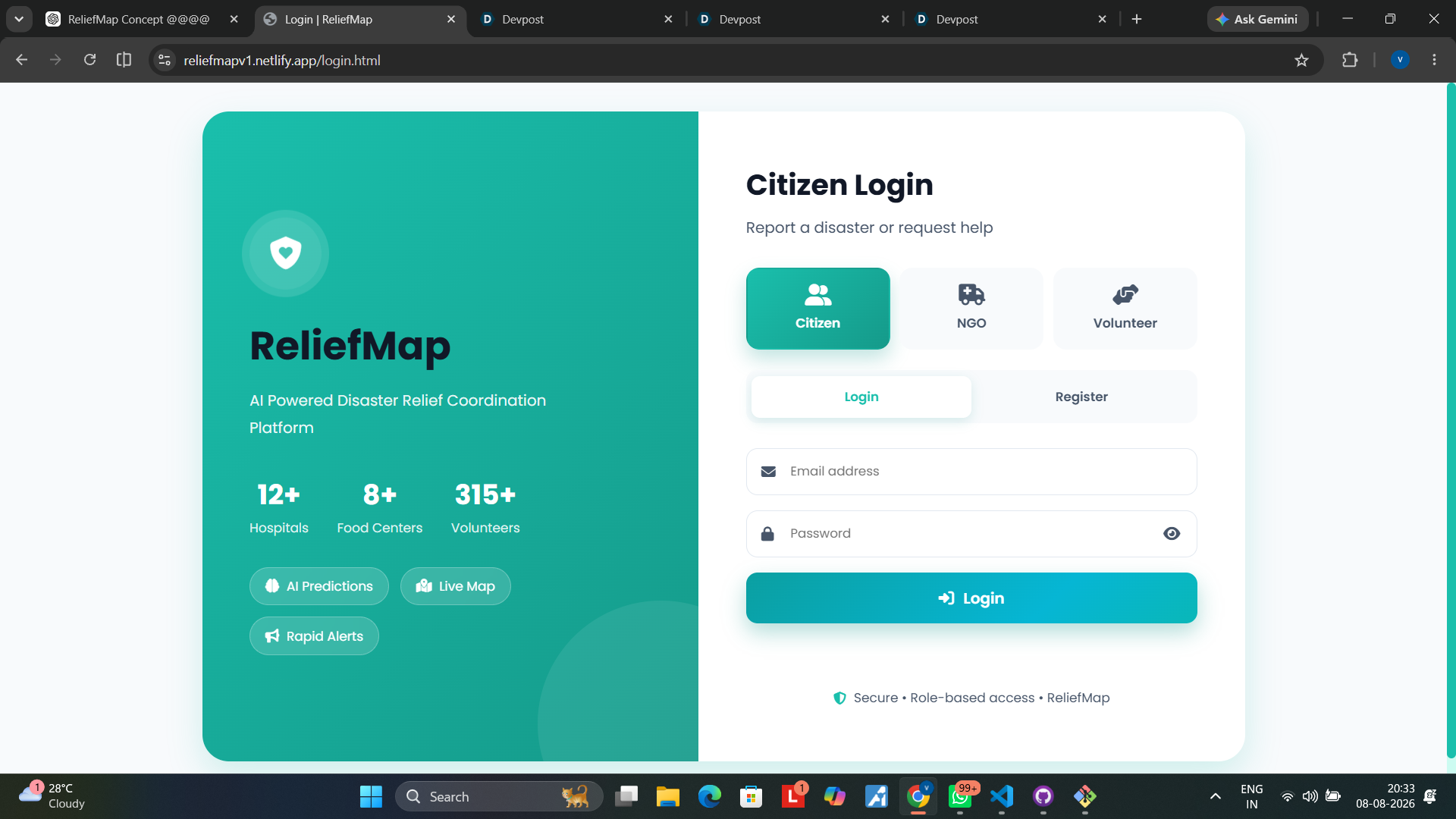
One of our biggest challenges was designing a system that could serve three completely different types of users while keeping the experience simple.
A citizen needs a quick way to ask for help.
An NGO needs operational visibility and coordination.
A volunteer needs clear assignments and actionable information.
We therefore had to design different workflows and role-based interfaces while keeping everything connected to the same platform.
Another major challenge was connectivity.
Disasters can happen exactly where internet infrastructure is damaged or overloaded. This led us to design ReliefMap with an offline-first approach instead of assuming that users will always have a stable connection.
We also had to integrate mapping, backend APIs, authentication, notifications, database operations, and AI assistance into one coherent system.
🏆 Accomplishments that we're proud of
We're proud that ReliefMap goes beyond simply displaying disaster information.
It creates a complete relief coordination workflow:
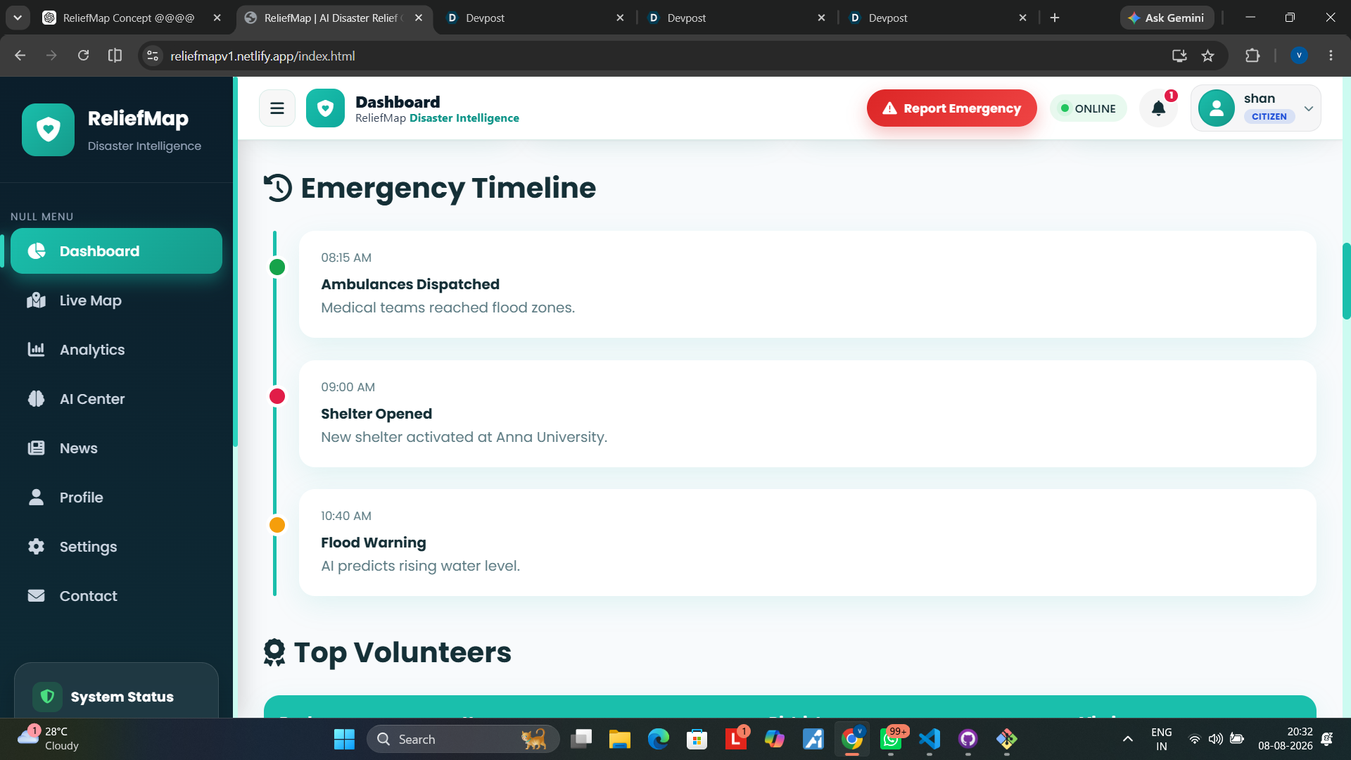
Citizen requests help → NGO coordinates → Volunteer responds → Citizen receives assistance.
We are also proud of the role-based architecture, interactive relief map, offline-oriented design, and ability to visualize different relief resources and requests geographically.
Most importantly, we built ReliefMap around a real-world problem rather than building technology for technology's sake.
🧠 What we learned
Building ReliefMap taught us that disaster technology is not only about AI or maps.
It is about coordination, accessibility, reliability, and human decision-making.
Technically, we learned about:
- Flask backend development
- REST API architecture
- Database integration
- Role-based application design
- Interactive geographical mapping
- JavaScript-based API communication
- Offline/PWA concepts
- AI integration
- Responsive web design
- Connecting multiple components into one system
More importantly, we learned how difficult it is to design technology for situations where people may have very little time, connectivity, or technical knowledge.
🚀 What's next for ReliefMap
Our current prototype is the foundation for a larger disaster-response platform.
Future development includes:
🤖 AI-powered prediction Predict potential resource shortages and identify areas that may require additional support.
🌐 Multilingual support Make ReliefMap accessible to people across different Indian languages and eventually globally.
📡 Stronger offline communication Improve offline reporting and synchronization so requests created during connectivity failures can automatically reach the backend when connectivity is restored.
📊 Disaster intelligence Add advanced analytics and prediction to help authorities and NGOs understand changing relief requirements.
🏢 NGO and government integration Connect verified NGOs, emergency organizations, and government response teams.
🌍 Large-scale deployment Expand ReliefMap into an open-source disaster coordination platform that can be adapted to different regions and types of emergencies.
💡 One-line description
ReliefMap is a role-based disaster relief coordination platform connecting Citizens, NGOs, and Volunteers through an interactive map, centralized relief requests, resource coordination, offline-first capabilities, and AI-assisted decision support.
Built With
- artificial-intelligence
- chart.js
- css3
- dashboard
- data-visualization
- disaster-management
- flask
- flask-cors
- font-awesome
- gis
- git
- github
- google-fonts
- html5
- javascript
- json
- leaflet.js
- netlify
- openstreetmap
- python
- responsive-design
- rest-api
- sqlite
- web-development

Log in or sign up for Devpost to join the conversation.