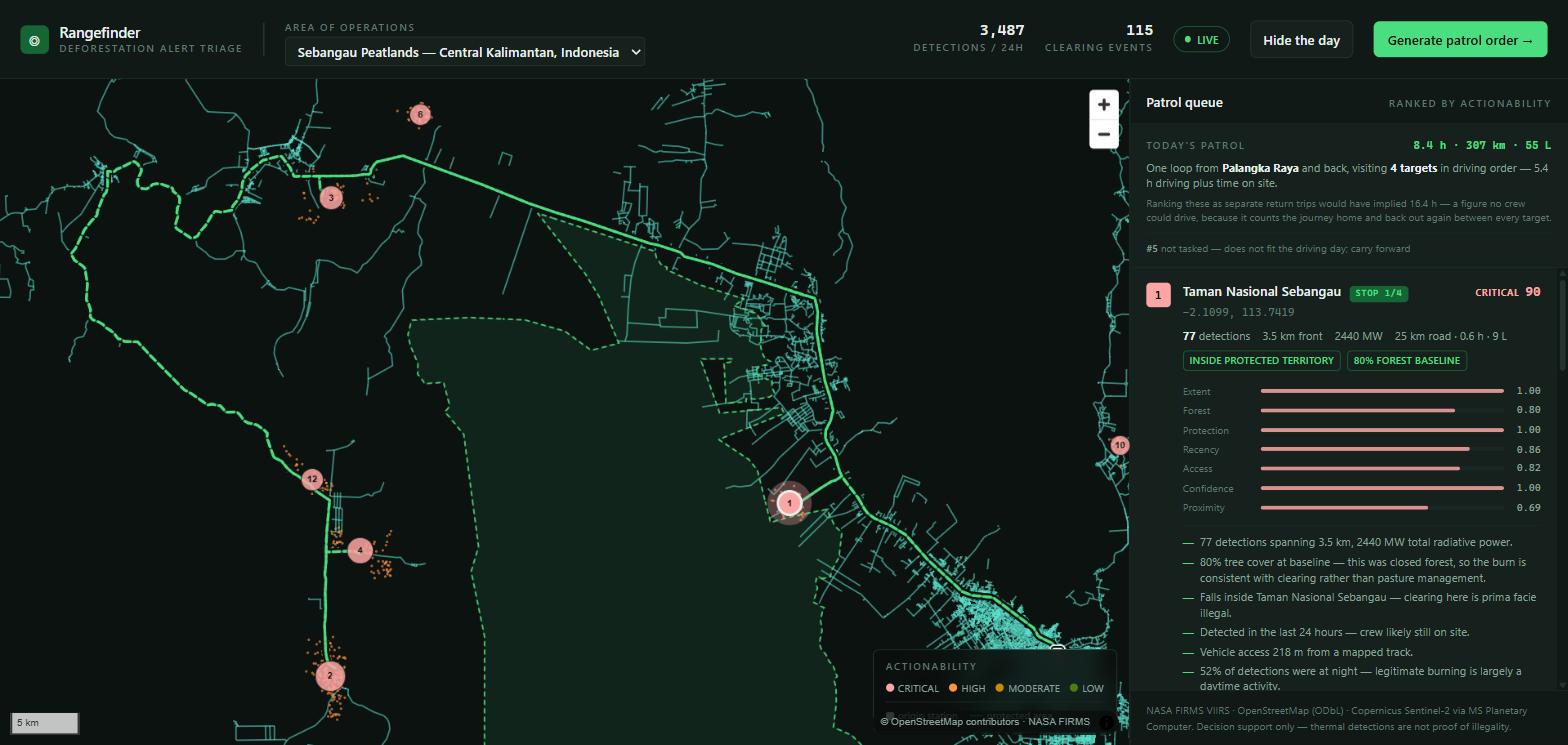
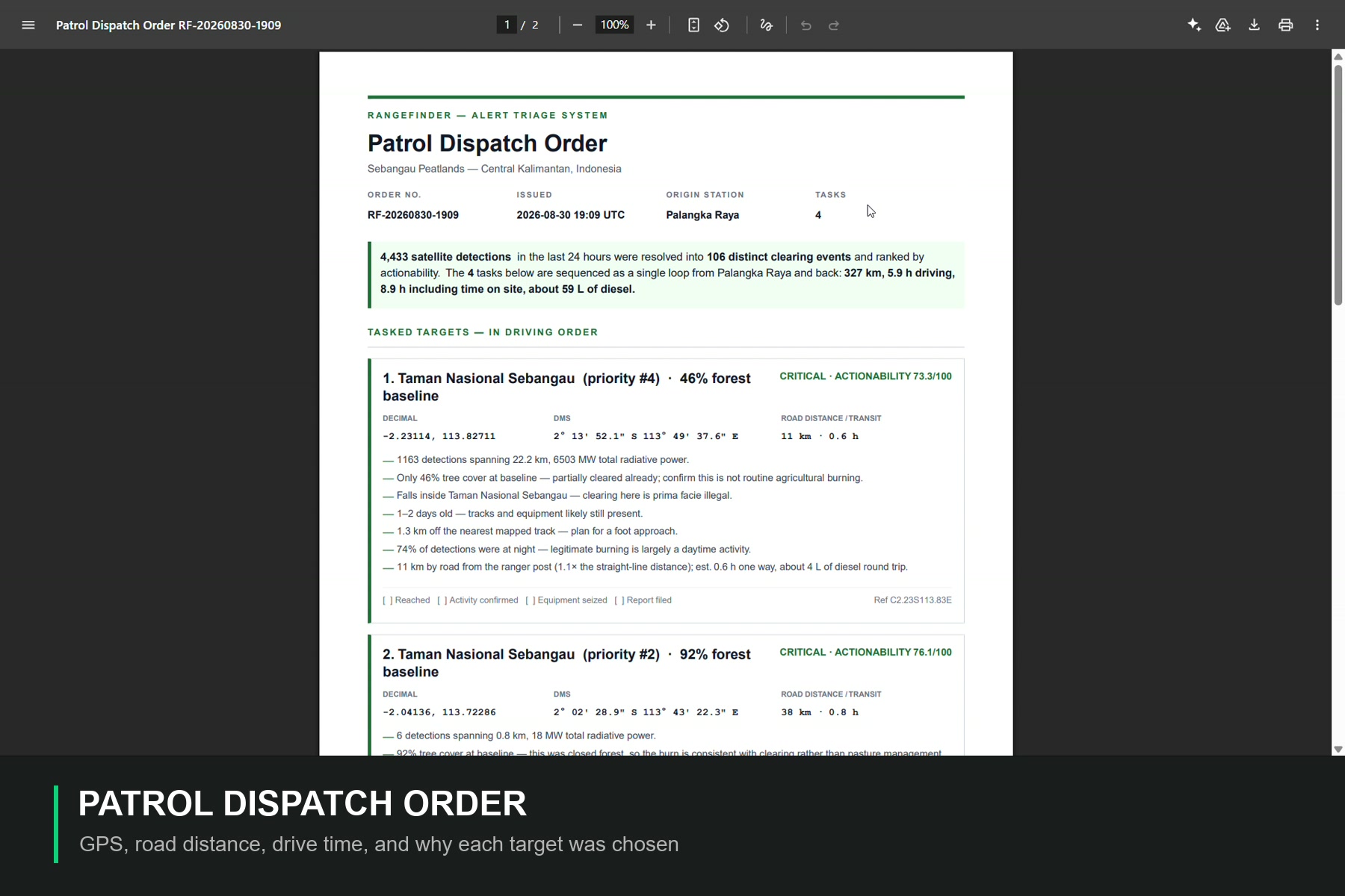
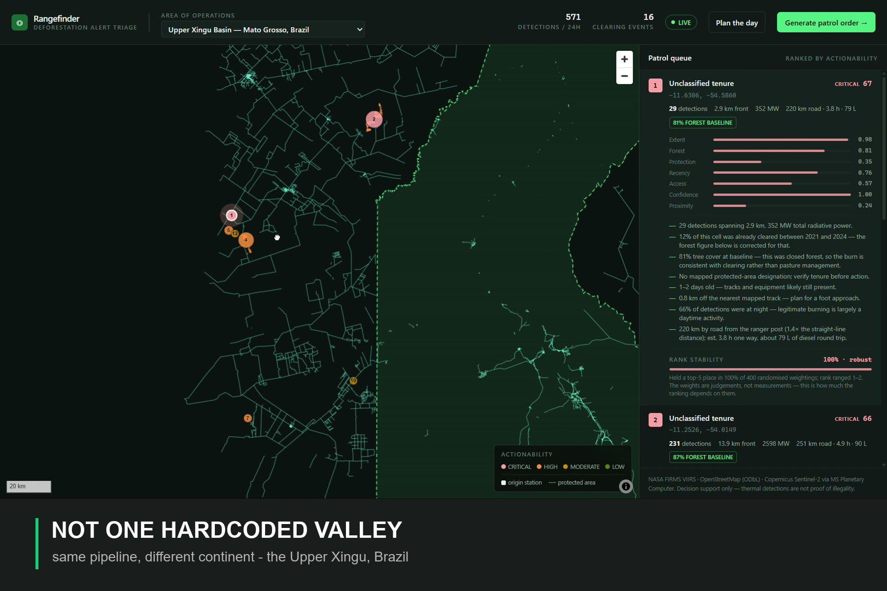
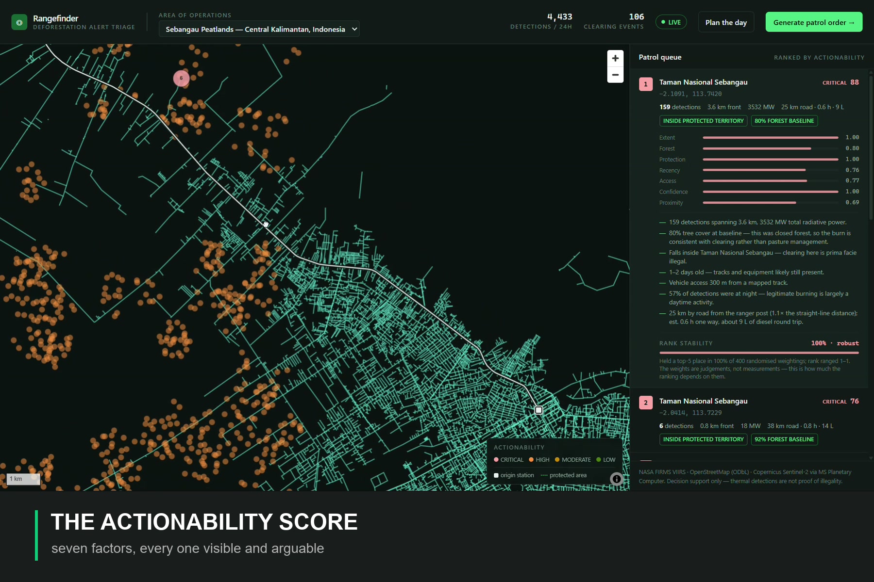
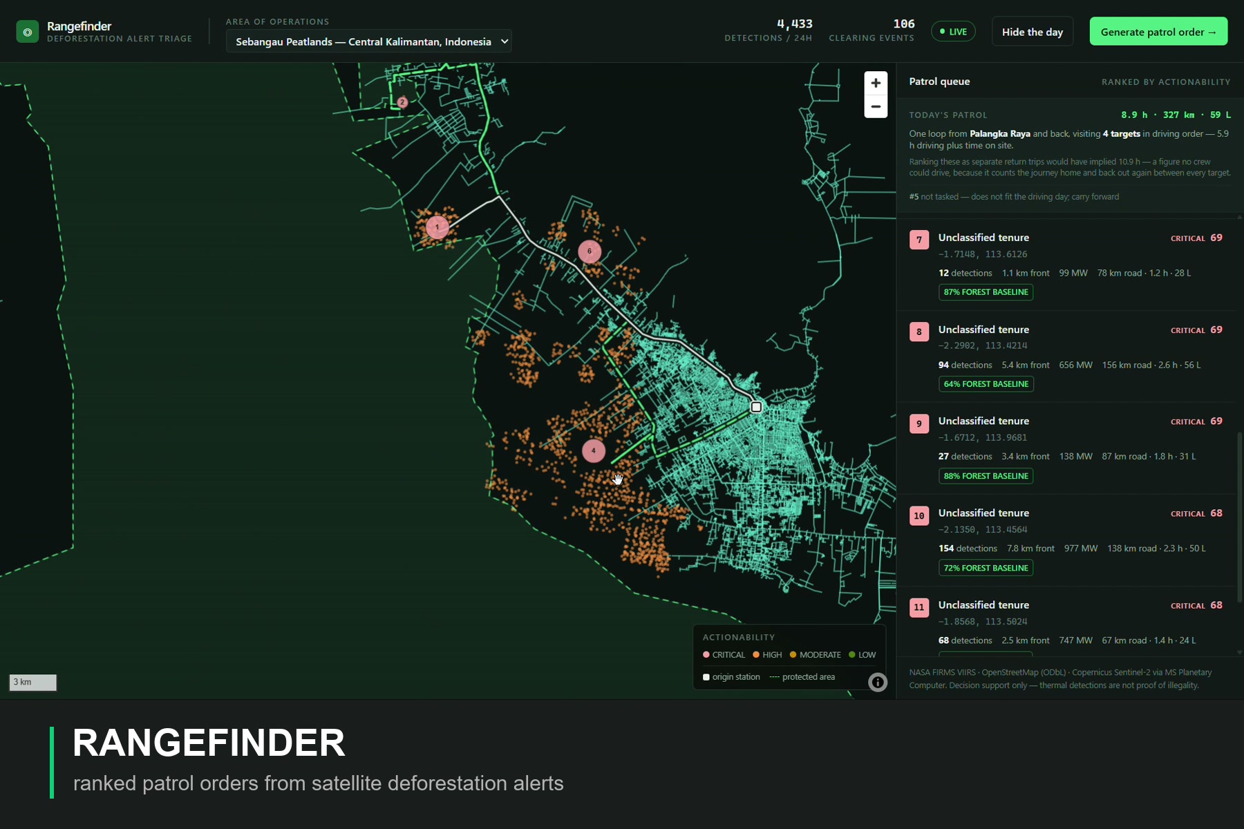
Satellite deforestation alerting is largely a solved problem. NASA FIRMS, Global Forest Watch and others already put near-real-time detections in front of protected-area offices every morning. What none of them answer is the question a ranger actually has at 7am: out of thousands of dots on a map, which two or three are worth a full day's drive?
That gap — between "here is the data" and "here is what to do about it" — is where alerts stop turning into patrols and trees keep falling. Rangefinder closes that specific gap. It does not compete with the satellites.
Built With
- esa-worldcover
- maplibre-gl
- nasa-firms
- next.js
- openstreetmap
- python
- react
- react-pdf
- sentinel-2
- tailwindcss
- typescript
- vercel
- vitest


Log in or sign up for Devpost to join the conversation.