-
-
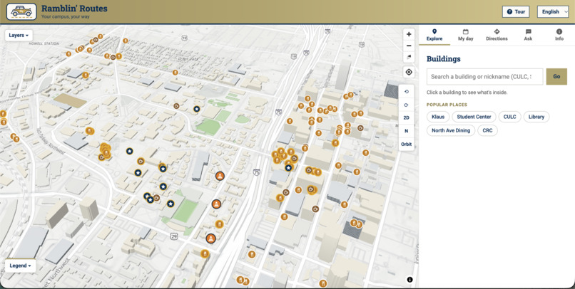
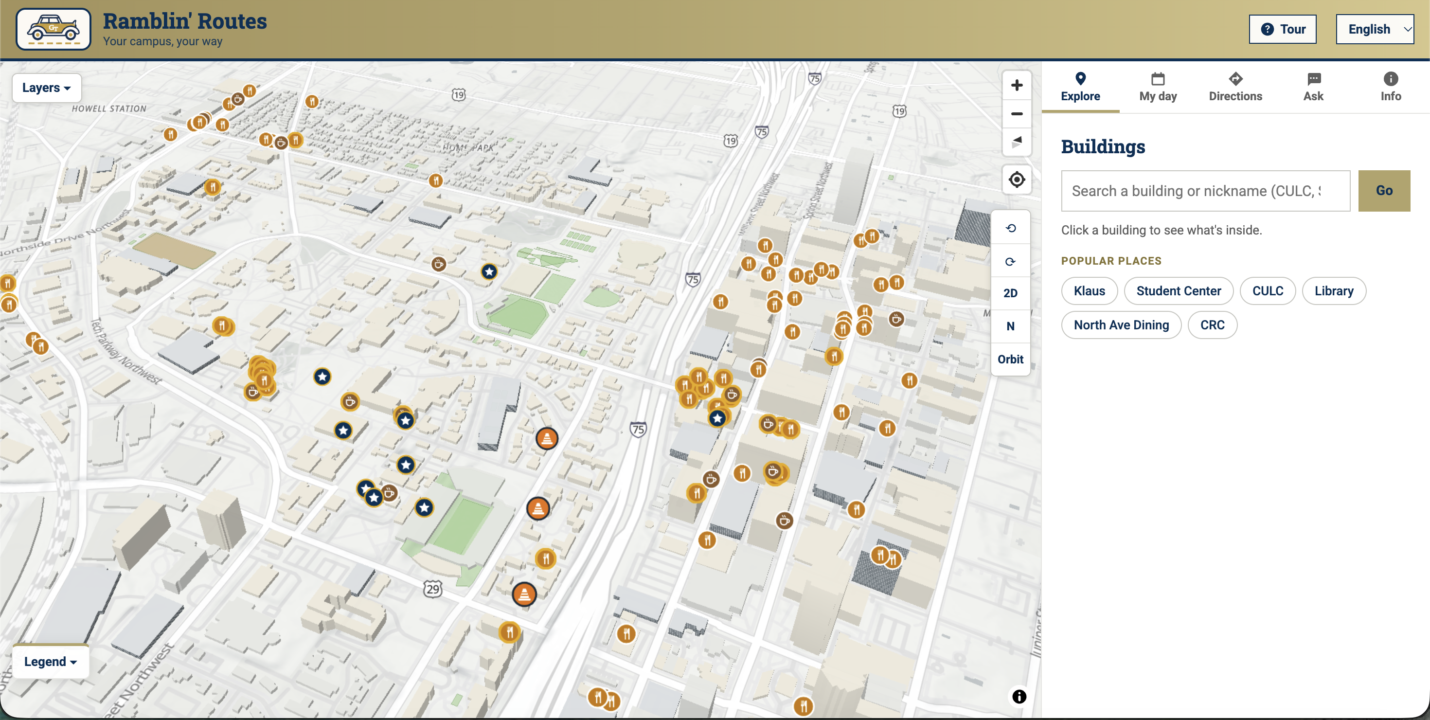
Opening Screen
Inspiration
Every Georgia Tech student remembers their first week: fifteen minutes between classes, a building you've never heard of, and Google Maps sending you up another hill toward Skiles. Georgia Tech's own map app is outdated, and Google Maps doesn't know Tech. It has no idea what "Stucen" or "CULC" means, where your BuzzCard works, or which printer is on which floor. Campus information is spread across a dozen websites. We wanted one map that answers the questions students actually ask: Will I make it to my next class? Should I walk or take the Stinger? What's inside this building?
What it does
Ramblin' Routes is an all-in-one campus map and resource guide for Georgia Tech.
- My Day: load your classes (real Fall 2026 sections and rooms) and it checks every walk between them, flagging tight transitions before the first day of class.
- Directions: door-to-door walking routes compared with an estimated Stinger trip, including where to board and get off, with one tap to open in Google or Apple Maps.
- What's inside: click a building to see food, printers by floor and room, classrooms, study spaces, rooms you can book, and today's dining hall menu.
- Ask the map: ask in plain language, like "Where's the quickest emergency phone from Skiles?", and get an answer with the route drawn on the map. It asks a follow-up when a question is unclear, works in five languages, and answers only from our campus data.
- Layers: Stinger routes, MARTA, emergency phones, student services, housing and Greek life, BuzzCard spots, public art and construction on one 3D map.
How we built it
Ramblin' Routes is a Next.js web app with a MapLibre 3D map on free OpenFreeMap tiles, hosted on Vercel, so it works on any phone with nothing to install. We built a campus walking network from OpenStreetMap and wrote our own shortest-path routing on it, using USGS elevation data to estimate slopes. Class times and rooms come from GT Scheduler's Fall 2026 data (4,297 sections). Printers, Greek chapters, public art and lactation spaces come from Georgia Tech's official sources. We traced the five Stinger routes from Parking and Transportation's route maps onto real roads, respecting one-way streets. Dining menus and bookable study rooms load live from Tech Dining and the GT Library. "Ask the map" uses Claude through the Anthropic API, and it can only answer by calling our own routing and building tools, so its answers stay grounded in the map.
Challenges we ran into
- Incomplete open data. Entrances, elevators and restrooms are sparsely mapped in OpenStreetMap. For example, only 62 of 280 mapped entrances say whether they're wheelchair accessible. Georgia Tech also publishes no machine-readable building or housing list, so we matched official lists to map buildings by name.
- Keeping the AI honest. A chatbot that guesses directions is worse than none. We limited the AI to answering through our own tools, so it can't invent routes or places, and it asks a follow-up when a question is unclear.
- Scope. We started out leading with accessibility. When we found how incomplete entrance data is, we refocused on what first-years need most and kept step-free routing as an optional layer.
Accomplishments that we're proud of
- A working, deployed product, not a mockup: anyone can try it at campus-map-two.vercel.app.
- More than ten real data sources combined in one map, with every estimate labeled as an estimate.
- A schedule checker that catches a real problem: a 14-minute walk from Howey to Tech Square in a 15-minute gap.
- An AI assistant that understands Tech's own words ("Stucen," "CULC," "NAV") and answers in five languages.
- A brand, logo, flyers and buttons, plus a launch plan built around FASET.
What we learned
- Real campus data is messy, and showing users where it's missing builds more trust than hiding it.
- Narrowing the AI to a few reliable tools made it far more useful than letting it answer freely.
- Building for one specific audience (first-years) made every design decision easier.
- A five-person team spanning computer science, industrial and civil engineering, business and neuroscience covered product, data, design and launch planning better than any one of us could alone.
What's next for Ramblin' Routes
- Launch at FASET and Wreck Camp this summer with demos and QR codes, then share it through Housing and Residence Life at move-in and through Week of Welcome.
- Run a first-year pilot and improve the app from student feedback.
- Add live Stinger times with Parking and Transportation.
- Improve the data with official GT feeds and verified student reports, starting with building entrances so step-free routes can be trusted.
- Make it official by partnering with SGA and OIT to keep it current every semester.
Built With
- anthropic-api
- aws-terrain-tiles
- claude
- georgia-511-api
- gt-scheduler
- maplibre-gl
- next.js
- node.js
- nutrislice-api
- openfreemap
- openstreetmap
- overpass-api
- react
- twilio
- typescript
- usgs
- usgs-elevation-data
- vercel
- zod
