-
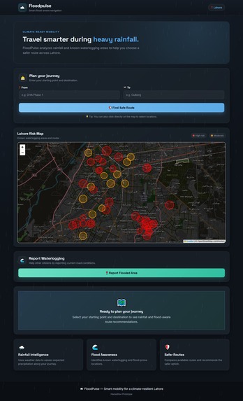
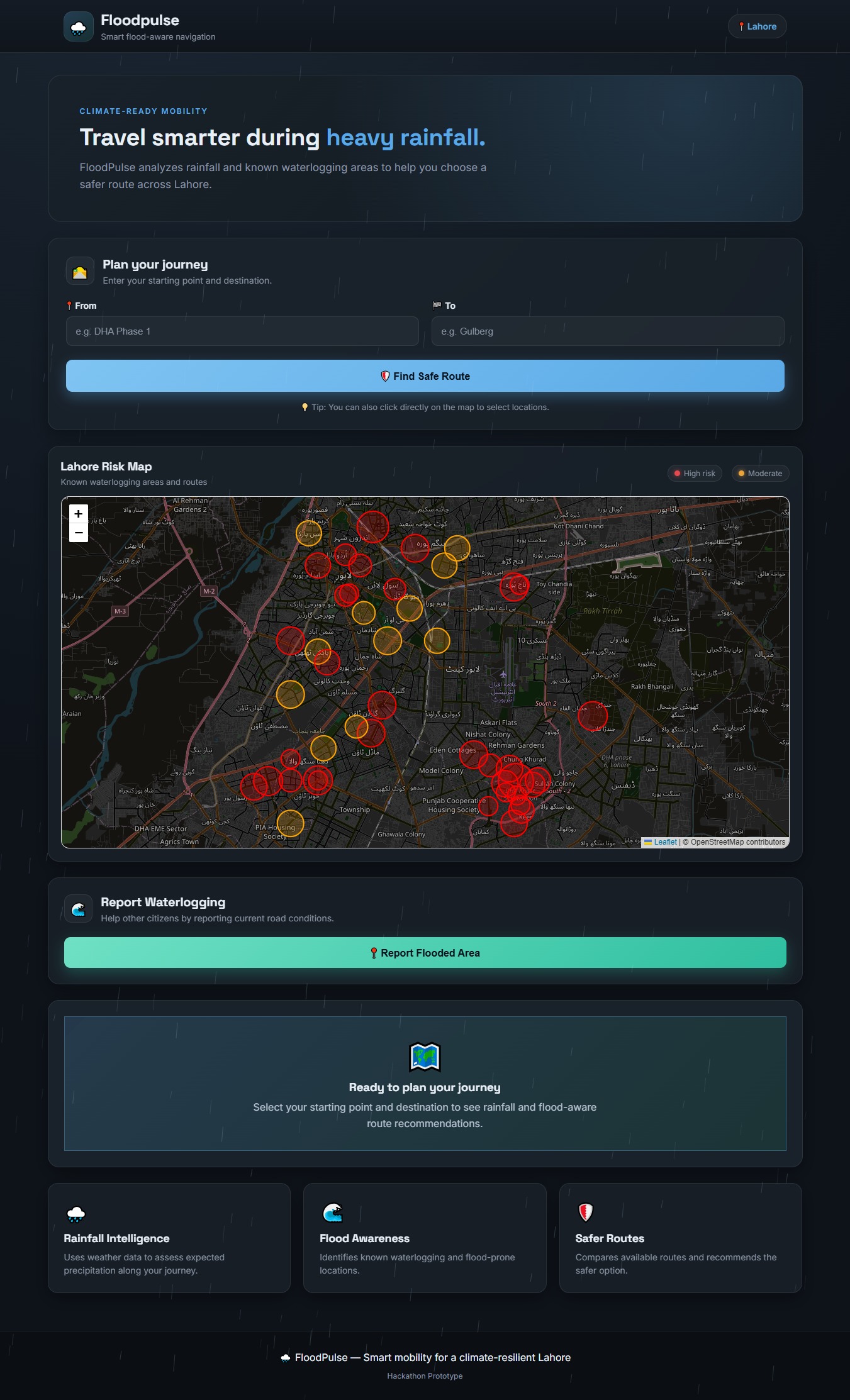
Interface of the Website
Inspiration
Lahore's monsoon season inspired me to build FloodPulse. Heavy rainfall can quickly turn roads, underpasses, and low-lying areas into waterlogged zones, making a normal "fastest route" potentially unsafe. I wanted to create a solution that helps citizens prepare for rain before they get stuck in it.
What it does
FloodPulse is a climate-aware route planning prototype that helps users find a safer route between two locations in Lahore. Instead of considering only distance and travel time, FloodPulse evaluates routes using: Rainfall information Known flood and waterlogging zones Seven checkpoints along each route Citizen-reported flooding Multiple route alternatives An overall route safety score The system compares available routes and recommends the safer option, even when it may not be the shortest route.
How we built it
FloodPulse was built as a lightweight web application using HTML, CSS, and JavaScript. I used Leaflet and OpenStreetMap for the interactive map, Nominatim for location search, and OSRM for generating driving routes. Flood-risk locations are stored as geographic coordinates with risk levels and affected radii. For every generated route, RainRoute samples 7 points and checks them against the flood-risk zones. Citizen reports are stored locally in the browser and incorporated into route-risk evaluation. The prototype was intentionally designed without a complex backend so i could focus on demonstrating the core smart-city concept during the hackathon.
Challenges we ran into
One of the biggest challenges was making different modules work together reliably. Integrating maps, location search, multiple routes, flood zones, rainfall analysis, and citizen reporting required careful coordination between JavaScript modules. Another challenge was representing real-world flooding digitally. Flooding is dynamic and can change within minutes, so our prototype uses predefined flood-risk zones and citizen reports while leaving the architecture open for future integration with live weather data, municipal information, IoT water-level sensors, and AI-based flood prediction.
What we learned
Building FloodPulse taught me how different technologies can work together to solve a real-world urban problem. I learned about: Interactive maps and geospatial coordinates API-based geocoding and routing Route analysis and risk scoring Client-side data storage Designing technology around a real community problem Most importantly, i learned that smart-city solutions don't always need to start with complex infrastructure—they can start with a focused prototype that demonstrates meaningful impact.
What's next for FloodPulse
FloodPulse is only the beginning. My long-term vision is to turn it into a real-time climate-resilient navigation system for Lahore, combining live precipitation forecasts, traffic conditions, official waterlogging data, IoT sensors, and AI prediction to warn citizens before dangerous flooding affects their route.
Built With
- data
- geospatial
- javascript
- leaflet.js
- nominatim
- openstreetmap
- osrm
