-
-
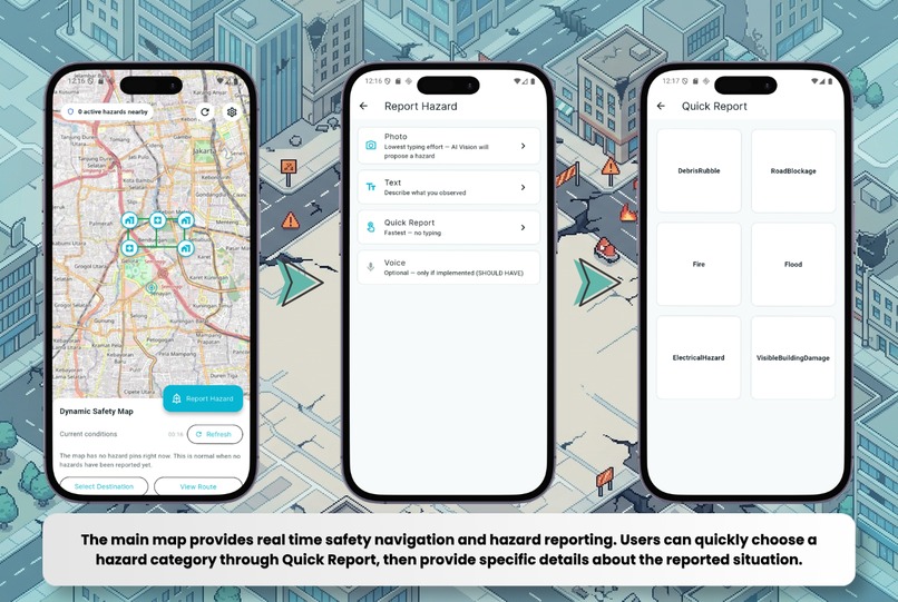
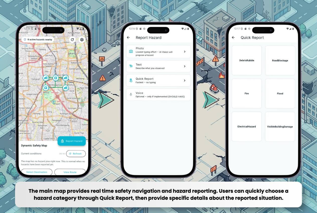
Map, Quick Hazard Report, and Report Details
-
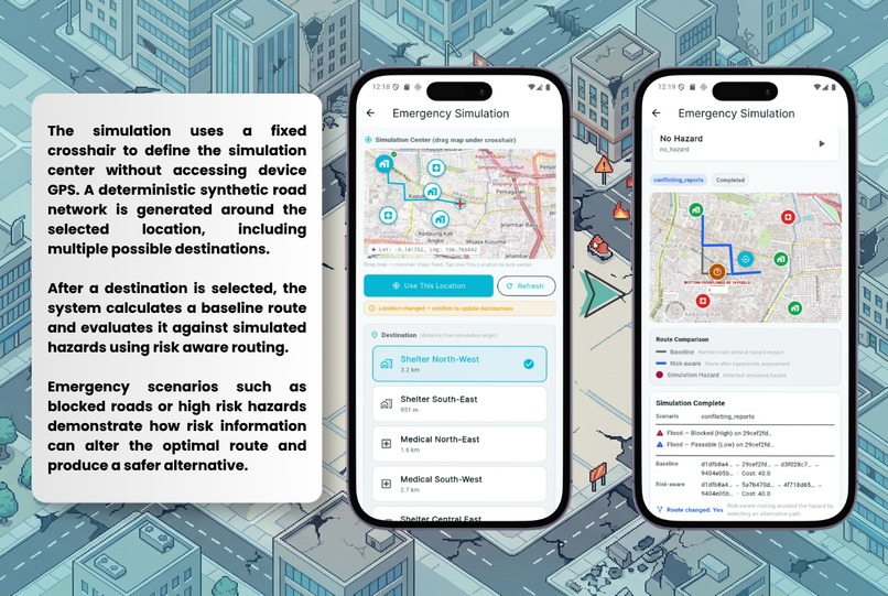
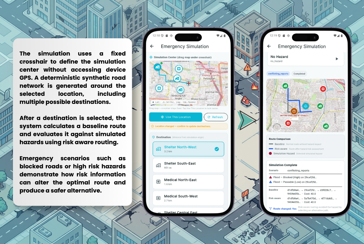
Emergency Simulation Workflow
Inspiration
After an earthquake, the situation on the ground can change within minutes. A road that was safe before the earthquake may suddenly be blocked by debris, affected by flooding, fire, fallen power lines, or structural damage.
We were inspired by a simple question: What if navigation could adapt to what is actually happening on the ground, instead of assuming that roads remain safe?
That led us to build QuakeRoute.
The Problem
Traditional navigation systems are designed primarily around distance, travel time, and known road conditions. In a post earthquake situation, those assumptions can quickly become unreliable.
The challenge is not simply finding the shortest route. It is making a safer routing decision when information is incomplete, constantly changing, and reported by people at the scene.
Our Solution
QuakeRoute is a mobile safety navigation prototype designed for the critical period after an earthquake.
Instead of treating the shortest path as automatically the best path, QuakeRoute considers reported hazards and their potential risk when evaluating routes.
Users can report hazards through photos, text, or quick reports. The system can then interpret the reported information and use it as part of the routing process to identify safer alternatives.
How QuakeRoute Works
The core decision flow is:
Report → Understand → Assess Risk → Evaluate Routes → Recommend a Safer Route

When a user reports a potential hazard, the report is processed to understand the type and severity of the situation. The resulting hazard information is then associated with the relevant geographic context and road network.
QuakeRoute evaluates available routes between the user's location and destination. Instead of considering distance alone, the routing system incorporates hazard related risk when calculating route costs. If the original route exposes the user to significant risk, the system can favor an alternative route with lower risk.
The Emergency Simulation feature demonstrates this process without requiring GPS or real world emergency data. Users select a simulation center using a fixed crosshair, choose a generated destination, and run scenarios such as blocked roads or high risk hazards.
The simulation then visualizes the baseline route, the risk aware alternative route, and the simulated hazard that influenced the routing decision, making the system's decision making process visible and repeatable.
How We Built It
QuakeRoute is built as a Flutter mobile application connected to a Laravel REST API backend.
The backend uses PostgreSQL with PostGIS for geographic data and road network operations. OpenStreetMap provides the underlying map data.
The routing system uses graph based pathfinding to evaluate routes, while a risk aware routing layer incorporates hazard information into route evaluation.
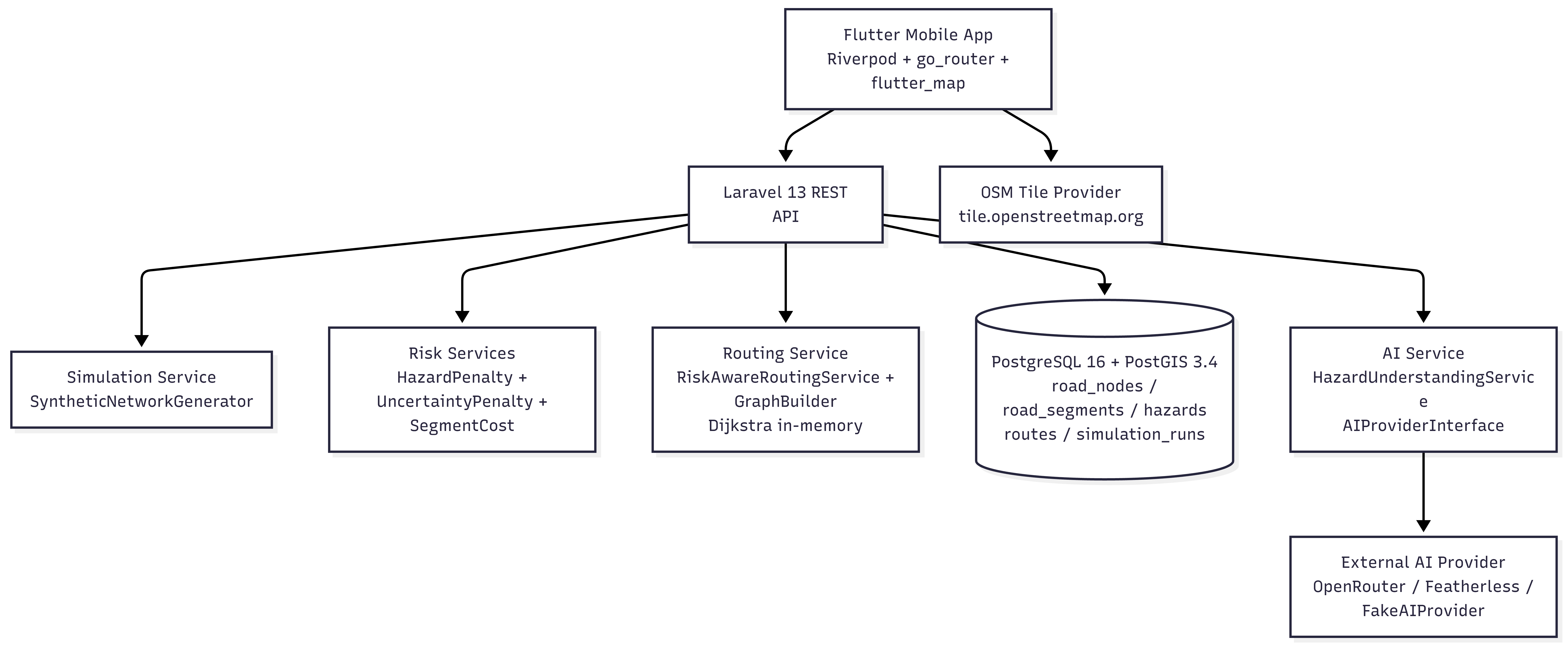
The architecture separates the mobile interface, backend services, AI interpretation, risk assessment, routing logic, and geospatial data layer. This allows each component to have a clear responsibility while keeping the routing system independent from the AI provider.
Challenges We Faced
One of our biggest challenges was representing a rapidly changing environment with incomplete information.
A reported hazard does not automatically mean that an entire road should become unusable. The system needs to understand where the hazard is, how severe it may be, and how it should affect route decisions.
We also had to make sure that our emergency simulation behaved like a real geographic system. Synthetic roads, destinations, and hazards needed to remain isolated from real map data while still producing meaningful routing behavior.
Another challenge was making the simulation completely GPS free. Instead of relying on the device location, we use the map position beneath the fixed crosshair as the simulation center.
What We're Proud Of
We are proud that QuakeRoute goes beyond a static emergency map and demonstrates an actual decision making flow.
The prototype allows users to report hazards, visualize affected areas, compare routes, and observe how a hazard can cause the system to choose an alternative path.
We are also proud of the Emergency Simulation because it lets us demonstrate the routing logic safely and repeatably without depending on a real disaster or real time emergency data.
What We Learned
We learned that emergency navigation is fundamentally different from ordinary navigation.
The shortest route is not always the safest route.
We also learned that building a useful emergency system requires more than adding AI to an existing application. Data quality, geographic context, routing logic, system architecture, and responsible communication all have to work together.
Most importantly, we learned how important it is to design for uncertainty. In an emergency, the system rarely has perfect information, so the goal is to make better decisions with the information available.
Responsible Use
QuakeRoute is a decision support prototype and is not a replacement for emergency responders, official emergency services, or professional guidance.
Hazard information may be incomplete, outdated, or incorrect, and AI generated interpretations may also contain errors. For that reason, QuakeRoute should be used as an additional source of information rather than as the sole basis for life critical decisions.
In a real deployment, the system should work alongside official emergency information and verified disaster response data.
What's Next for QuakeRoute
Our next step is to move from a prototype toward a more reliable real world emergency navigation system.
We would like to integrate verified emergency and road condition data, improve hazard verification using AI and community reports, support offline maps for areas with limited connectivity, and expand the system with shelters, medical facilities, evacuation routes, and other emergency resources.
Ultimately, we want QuakeRoute to help people make faster, safer, and better informed navigation decisions when normal navigation can no longer be trusted.
Built With
- artificial-intelligence
- dart
- dijkstra's-algorithm
- docker
- featherless-ai
- flutter
- geospatial-data
- laravel
- machine-learning
- openrouter
- openstreetmap
- php
- postgis
- postgresql
- rest-api
- risk-assessment
- riverpod


Log in or sign up for Devpost to join the conversation.