-
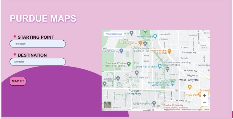
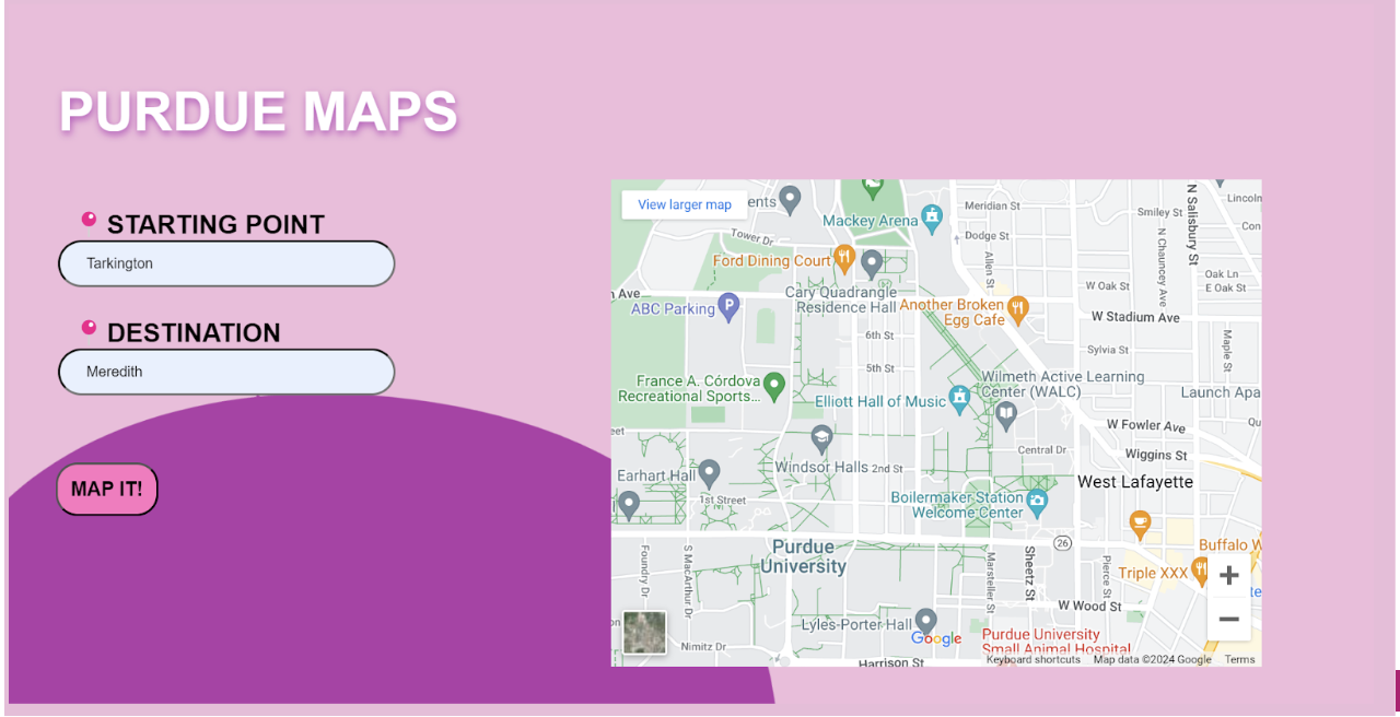
Home Page
-

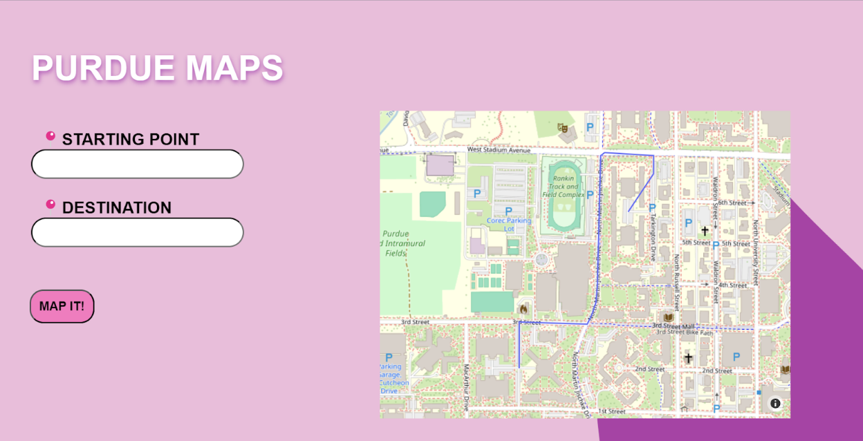
Route from Tarkington Hall to Meredith Hall
-
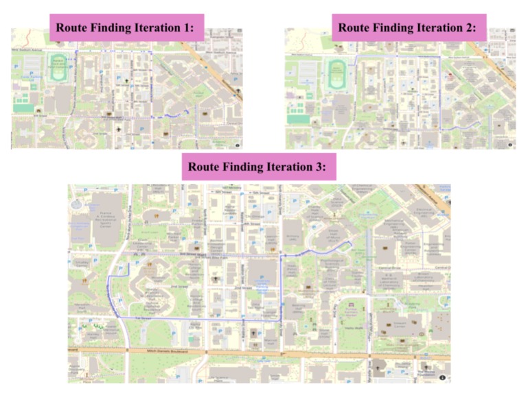
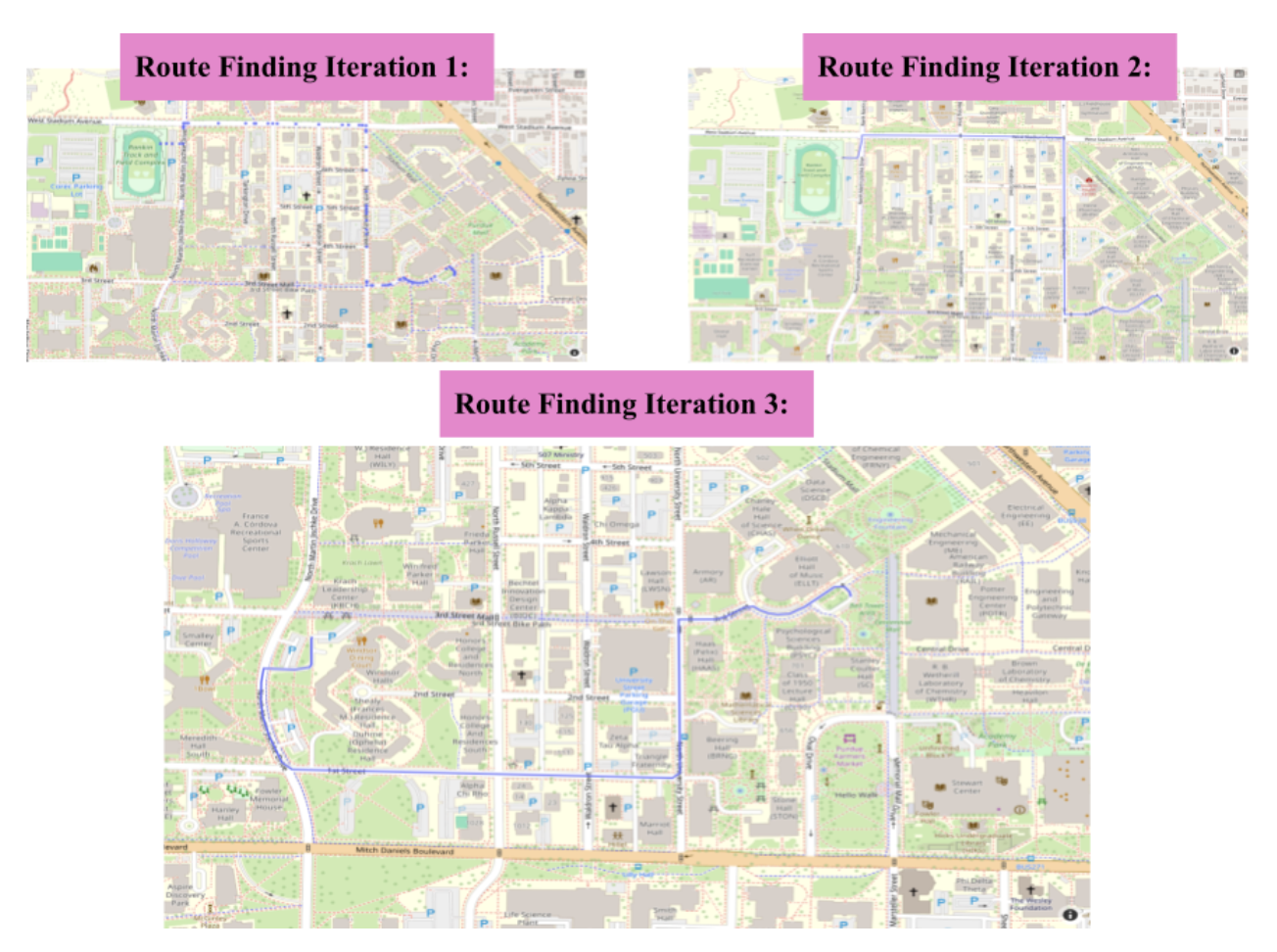
Pathfinding Iterations
Inspiration
Are you a Purdue student looking to seamlessly integrate fitness into your daily routine without the gym intimidation? Meet PurdueMaps – the revolutionary navigation app designed specifically for the health-conscious Boilermaker. Our goal was to create a tool that helps students maintain their workout goals outside the gym in an efficient and time conscious way.
What it does
Our application determine multiple routes to a destination on campus and encourages the user to choose options that add a few more steps into their day. By using our app to find a route that is more physically active, every walk to class becomes an opportunity to boost your well-being and health. We plan to have the option for a user to input their current step goal and the destinations they have to make in the day, so that Map.Purdue can optimally map out their route to reach their step goal while also taking into account any other factors that might aid their walk such as weather, scenery, and time of day.
How we built it
We used Flask for the backend and html and CSS for the frontend. We wanted to make the application a unique user experience so we implemented dynamic style and animations to provide entertainment while a user scrolls on our application. We used the OpenStreetMap API
Challenges we ran into
Most route-finding APIs are focused on getting one singular fastest route, but our application's goal was to find multiple routes. We planned to use Google's Routes API which has a feature to provide alternate routes, but had troubles using the google API key, so we ended up not using the Google routes API. Additionally, we struggled with displaying our interactive map into our static html template as the map was a different type of object and made in the backend. We had to figure out how to change its object type and write it to the html file to display it as in our Flask backend.
Accomplishments that we're proud of
We are proud of the design of our application. It is aesthetically pleasing and the animations on the screen make it interesting to look at. We are also proud of our interactive map integration to the site and how were were able to plot the route. We did not have experience with using APIs or pathfinding so we are proud of what we were able to do.
What we learned
We learned a lot of skills we did not know before. Our team member who designed our UI had no experience with HTML or CSS prior to this competition, so he learned a lot about web design and how a page is formatted in HTML and CSS. Additionally, we learned about pathfinding and how to develop routes, as well as how to pass complex data from backend to frontend.
What's next for PurdueMaps
We're working to improve the accuracy of the location pointers to each building, as well as the route finding algorithm's accuracy. We also will increase the route finding algorithm's speed, as it's the main bottleneck of the application. To do this, we will optimize the current algorithm and we may look into some alternative algorithms such as the "greedy" heuristic or a*. Additionally, we plan on making the map UI more customized towards Purdue such as adding icons on top of buildings or colorizing certain parts of campus (i.e. near the engineering building or near the residence halls). We also hope to add an AI component where our map can tailor itself to and learn a users daily tendencies to create route options without their input.


Log in or sign up for Devpost to join the conversation.