-
-
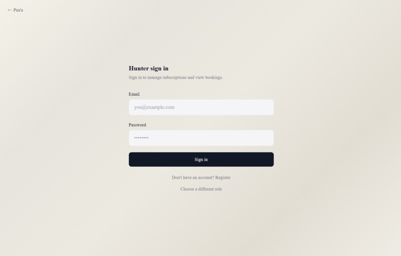
Hunter (Sign In Tab)
-
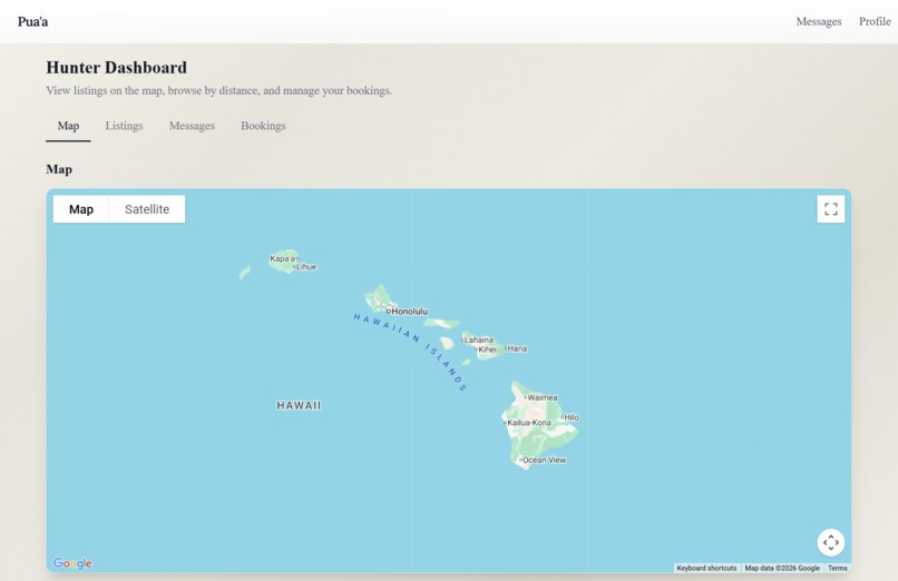
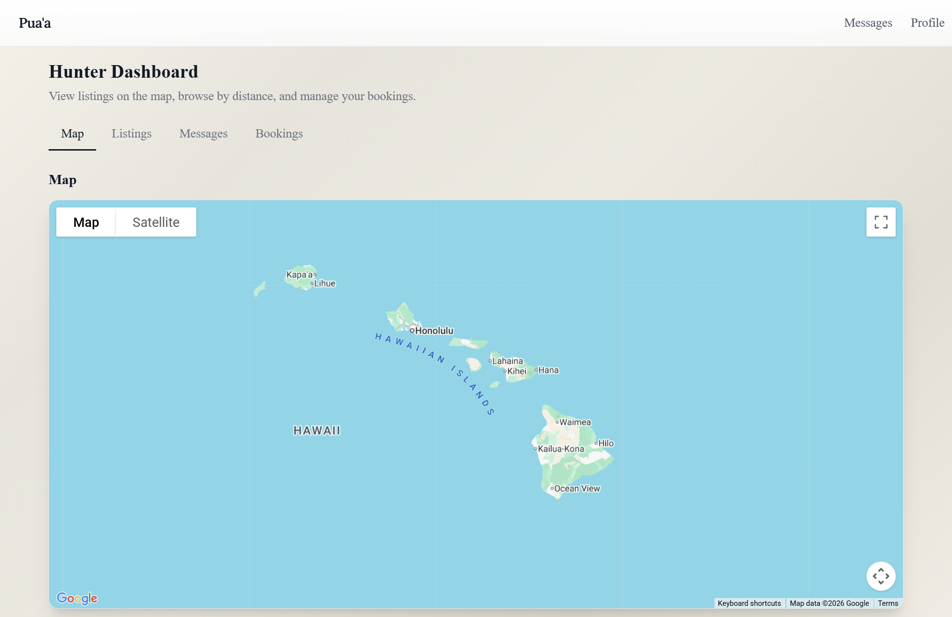
Hunter Dashboard (Map Tab)
-
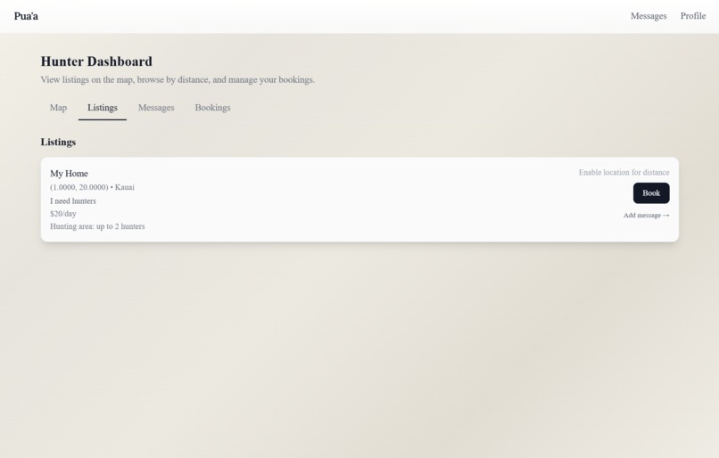
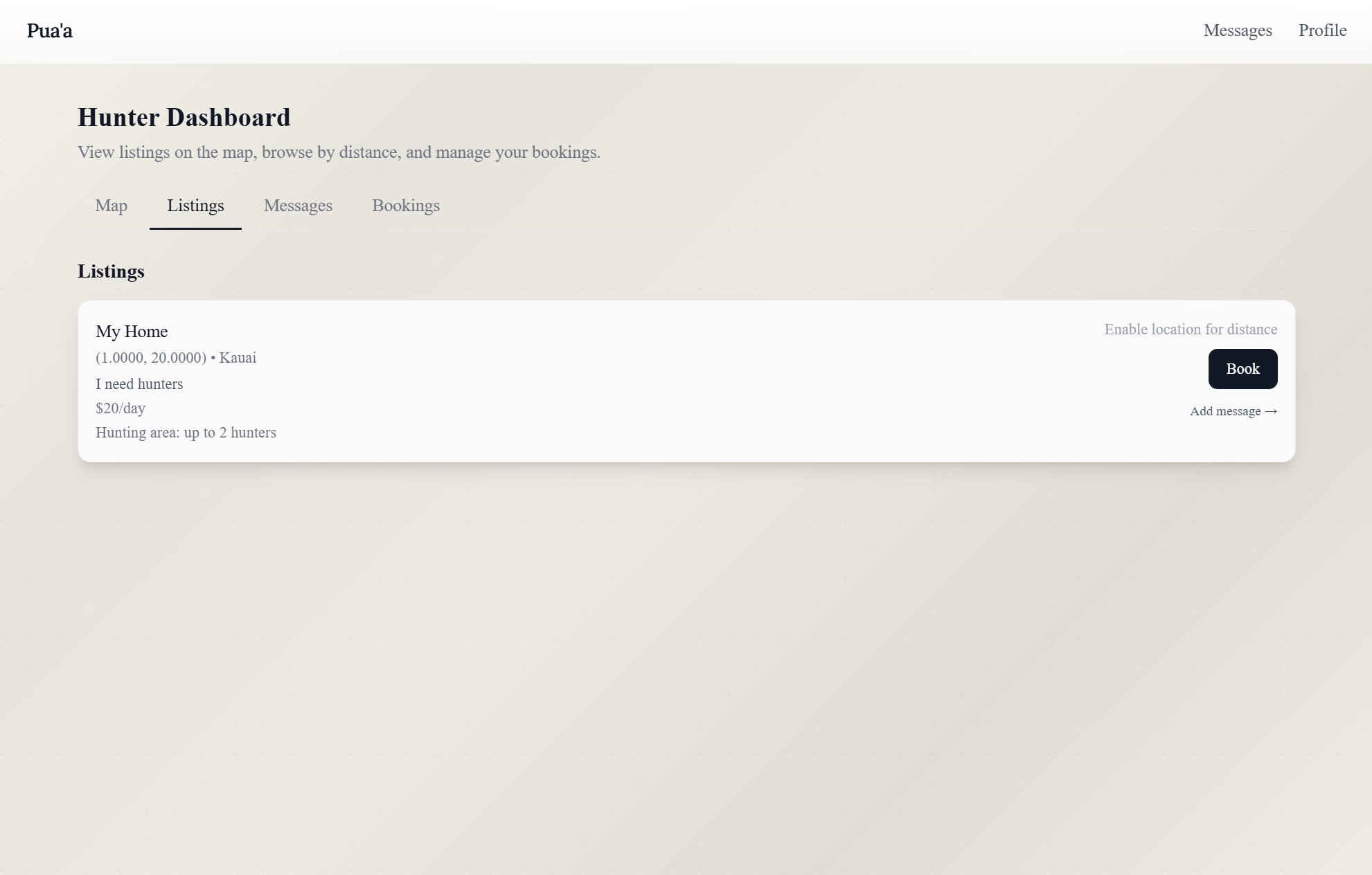
Hunter Dashboard (Listings Tab)
-
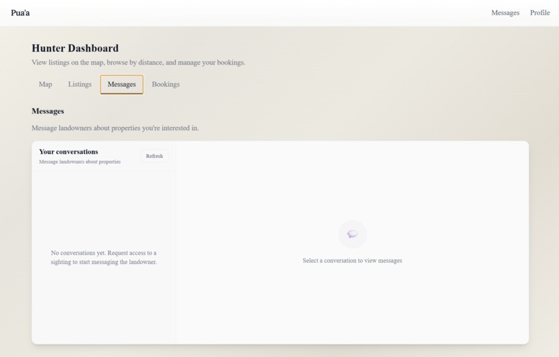
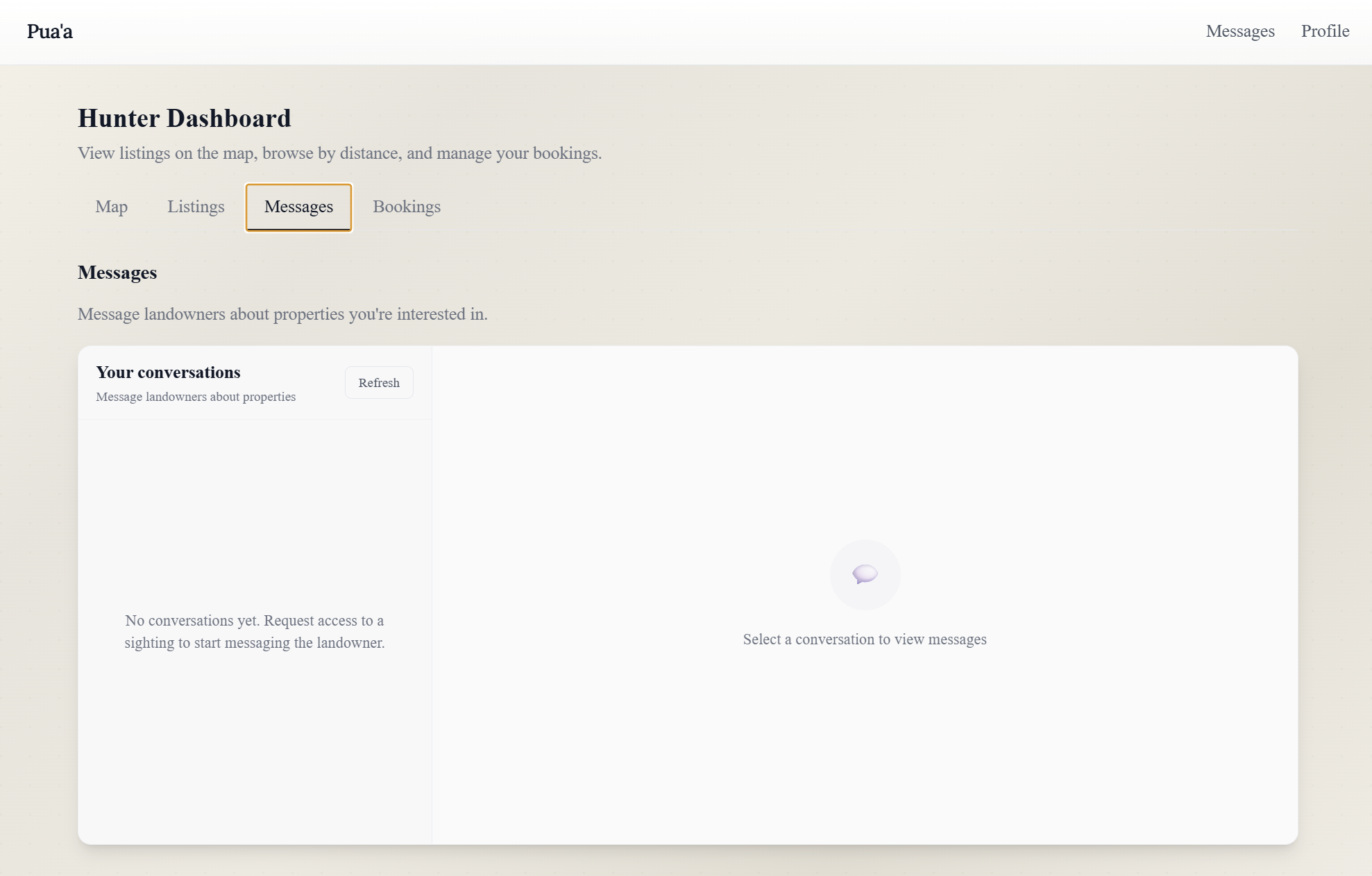
Hunter Dashboard (Message Tab)
-
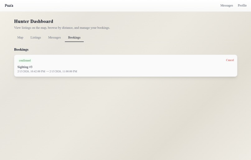
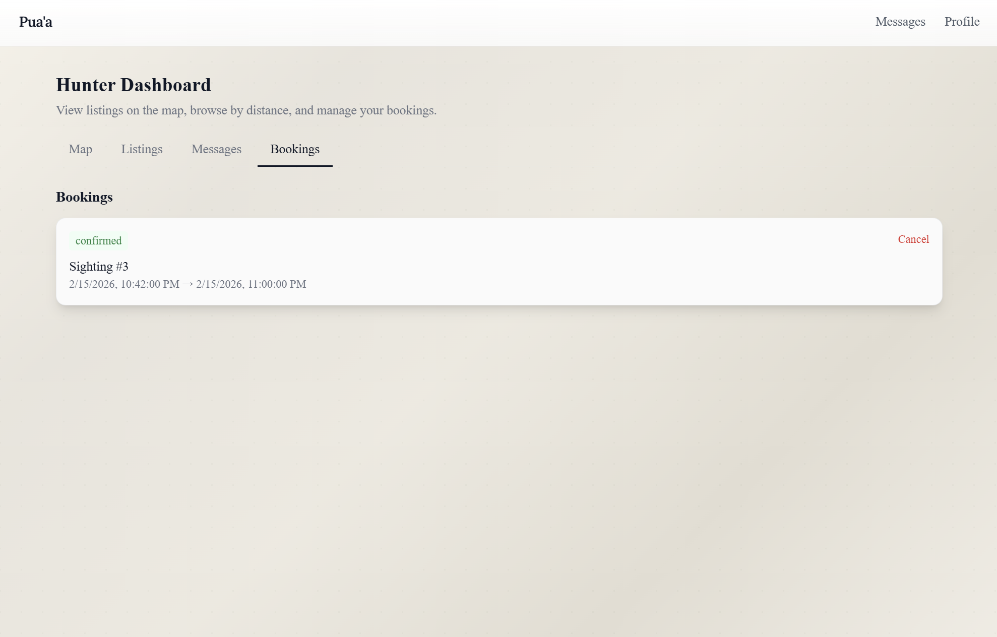
Hunter Dashboard (Booking Tab)
-
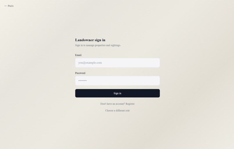
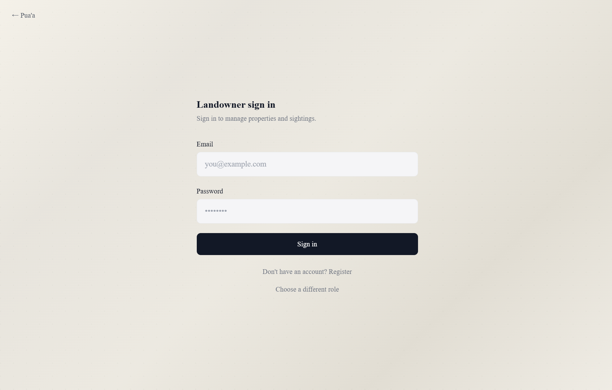
Landowner (Sign In Tab)
-

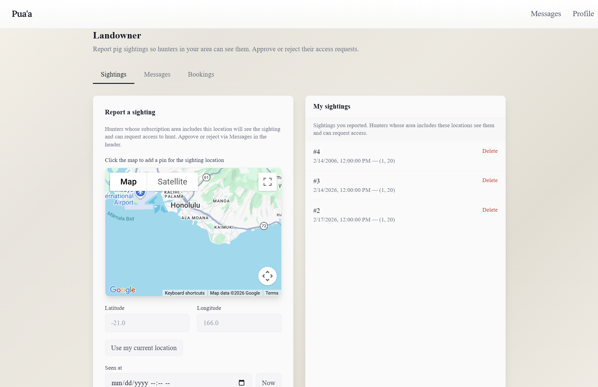
Landowner Dashboard (Sighting Tab)
-
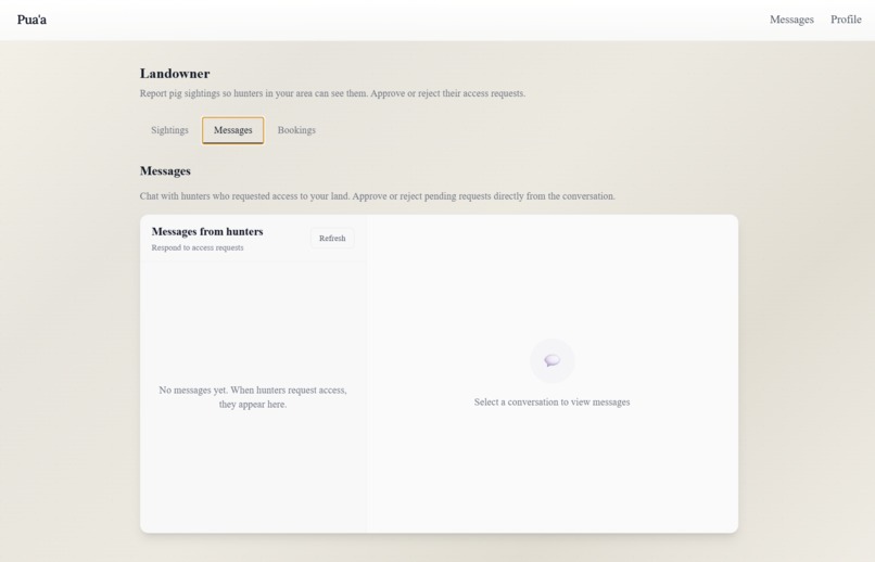
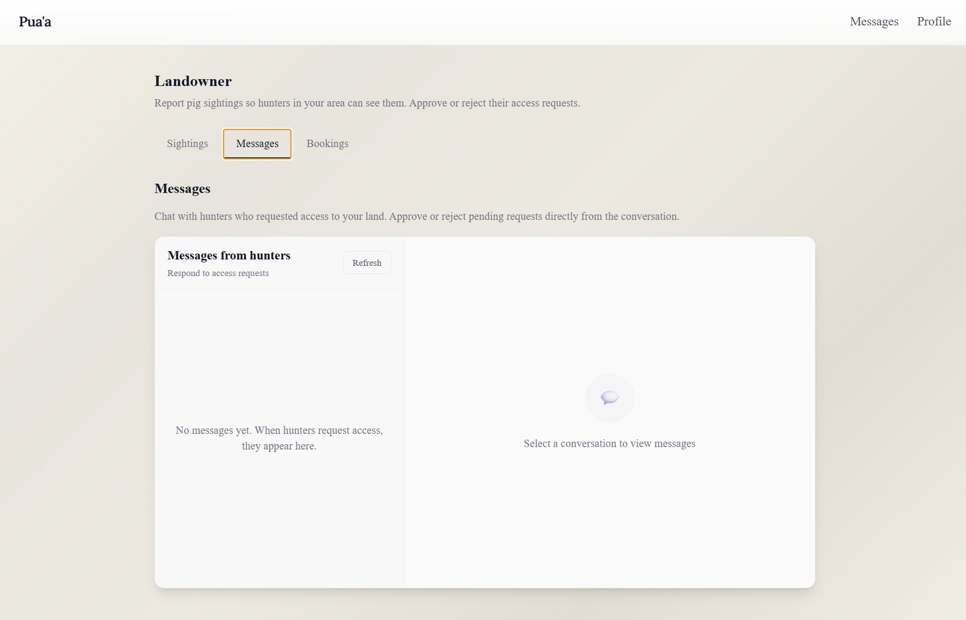
Landowner Dashboard (Message Tab)
-
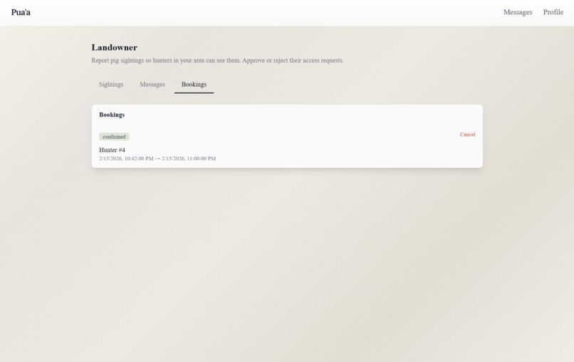
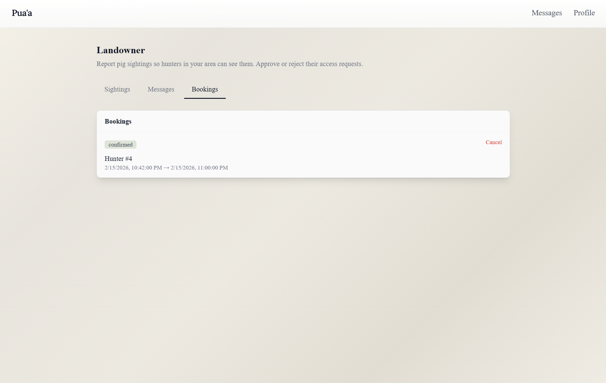
Landowner Dashboard (Booking Tab)

Inspiration
We are both from Pacific islands. Daniel is from Tafuna, American Samoa, and Rylan is from Hilo, Hawaiʻi. In both places, invasive wild pigs are not abstract environmental statistics. They destroy taro patches, damage backyard farms, disturb native forests, and disrupt fragile ecosystems. The problem goes beyond agriculture. Island ecosystems are tightly connected. When invasive pigs root through forest floors, they destroy understory vegetation that native birds rely on for nesting and food. Many of these bird species are endemic, meaning they exist nowhere else in the world. When habitats are disrupted, biodiversity loss can be permanent. At the same time, responsible hunters exist. Landowners who need help exist. But there is no structured, digital system that connects them safely and legally. Puaʻa was inspired by that gap.
What it does
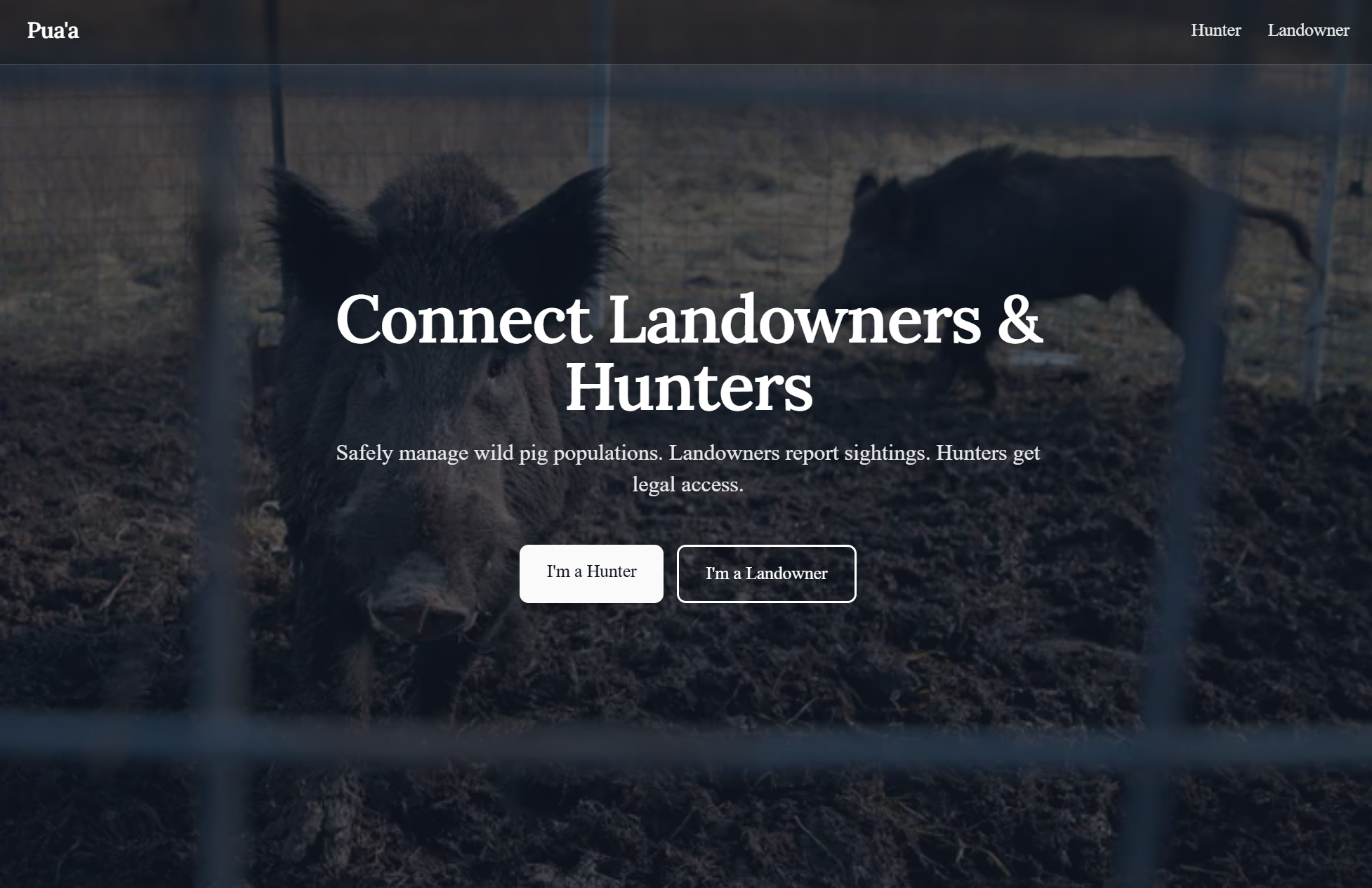
Puaʻa is a permission-based geospatial platform that connects private landowners with licensed hunters to manage invasive pig populations safely and legally.
Landowners can:
- Register properties with geographic boundaries
- Define access rules and safety requirements
- Log pig sightings and damage severity
- Approve or deny hunter access requests
Hunters must:
- Register with license information
- Verify expiration dates
- Build a dynamic trust score over time
- Request explicit permission before accessing land
We implemented a simple urgency scoring model: $$ \text{Urgency Score} = w_1 \cdot (\text{recent sightings}) + w_2 \cdot (\text{damage severity}) $$ This allows the platform to highlight high-priority zones.
How we built it
We built Puaʻa as a full-stack web application.
Frontend
- React with Vite
- React Router for role-based navigation
- React Leaflet for map visualization
- OpenStreetMap tile layers
Backend
- Node.js
- Express for RESTful API routing
Geospatial Computation
We implemented distance validation using the Haversine formula to calculate distance between two geographic coordinates: $$ d = 2R \arcsin\left(\sqrt{\sin^2\left(\frac{\Delta \phi}{2}\right) + \cos(\phi_1)\cos(\phi_2)\sin^2\left(\frac{\Delta \lambda}{2}\right)}\right) $$
This enables:
- Geofenced property boundaries
- Proximity-based access validation
- Regional enforcement logic
Trust Score Model
We implemented a weighted trust scoring mechanism: $$ \text{Trust Score} = \alpha \cdot (\text{license validity}) + \beta \cdot (\text{approvals}) + \gamma \cdot (\text{compliance history}) $$ This builds accountability over time.
Challenges we ran into
One major challenge was balancing usability with safety. Wildlife management involves liability, land rights, and environmental impact. We needed to ensure:
- No automatic approvals
- Clear acknowledgment of landowner rules
- Explicit permission workflows
Another challenge was implementing geospatial boundaries in a way that remained intuitive for users while enforcing strict backend logic.
Accomplishments that we're proud of
We are proud that Puaʻa reflects real island experience rather than a generic marketplace concept. Specifically, we are proud of:
- Implementing geofenced property logic
- Designing a dynamic trust scoring model
- Building a permission-first workflow
- Integrating urgency prioritization
Most importantly, we built something grounded in communities we understand personally.
What we learned
We learned that many environmental problems are coordination problems. We also learned that designing for trust is more complex than designing for scale. Technically, we deepened our understanding of:
- Geospatial distance computation
- Role-based access control
- Reputation modeling
- Structured permission workflows
Personally, we learned how to translate lived island experience into functional software.
What's next for Puaʻa
Next steps include:
- Integrating official hunting license verification APIs
- Adding secure identity validation
- Expanding the trust scoring model
- Partnering with conservation organizations
- Extending the platform to other invasive species management regions
Long term, Puaʻa could serve as structured infrastructure for responsible invasive wildlife management across island and rural communities.
Built With
- algorithm
- calculations
- cursor
- data
- distance
- express.js
- for
- formula
- geospatial
- haversine
- javascript
- leaflet.js
- localstorage
- mvp
- node.js
- openstreetmap
- persistence
- react
- router
- scoring
- the
- trust
- using
- vite)

Log in or sign up for Devpost to join the conversation.