-
-
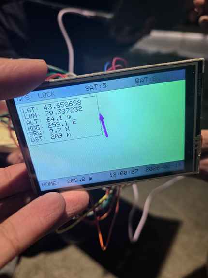
A test of the GPS outside.
-
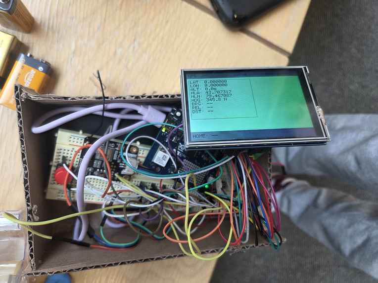
The (somewhat) assembled Polaris.


Inspiration
We wanted to learn more about the Arduino Uno Q and its new features, so we chose to make a simple wayfinding system using a GPS and compass!
What it does
Polaris allows us to find our current position on Earth using a GPS module. We can then save this position, and if we were to ever become lost, Polaris can guide us back to this original position! It will provide the distance we are away from it, as well as provide a simple direction using an arrow to tell us where to go. If the system were to ever be shut off accidentally, the home position is preserved over different a reboot!
How we built it
We used the Arduino Uno Q to drive a 3.5" LCD display, as well as a GPS sensor and a compass + magnetometer. We additionally used RPCbridge on the Arduino Uno Q to save data to the Linux side, which lets us store our home position.
In essence, the GPS stores our initial position, and we calculate a bearing angle (the direction we are supposed to go to get back home) on the Arduino. The compass then tells us the angle/direction we are headed in. We then calculate a relative direction by subtracting the two angles, and display this as an arrow to guide our user!
Challenges we ran into
- Linux Memory Problem: There was no EEPROM on the Arduino Uno Q, so we had to use the linux memory. However, we were trying to retrieve our previously saved home location coordinates on the Arduino Uno Q’s linux memory, but our output showed the correct digits but not in the right places (67.41 -> 6.471)
Solution: Instead of returning the whole number, we instead returned individual digits of the number and appended them to each other to generate the full number successfully!
- Screen Refresh Rate
The compass returns angle bearing values very slowly, so when you turn 180 degrees, the arrow on the LCD slowly moves to the correct direction, not immediately.
- GPS Precision
The distance calculation is not accurate, so even if you move 50 metres away from the home location, it would say 20 metres. We believe this issue arises due to the lack of satellite connections in Myhal. We tested it in other locations and it was more accurate.
Accomplishments that we're proud of/ What we learned
We are proud of all we have learned along the way, as well as challenging ourselves with new devices we haven't worked with before!
What's next for Polaris - A Survival Wayfinding System
- 3D printed enclosure
We want to add a more minimal and robust 3D-printed casing to our project which only displays the LCD to the user.
- Refresh rate
We want to make the refresh rate on the LCD faster so that a user can easily see the direction they need to go in real-time without having to wait.
- Touchscreen
We want to add touchscreen features to the LCD, so there is no need for a big button to save the home location.


Log in or sign up for Devpost to join the conversation.