HERE Hackathon: POI Validation on Multiply-Digitised Roads
🚀 Inspiration
Learning new technologies and solving challenges that motivate us to keep on growing as developers and growing our network by working as a team and sharing knowledge with each other.
🤖 What it does
This project automatically analyzes POIs located on multiply-digitised roads to determine if they:
- Actually exist in reality.
- Are on the correct side of the road.
- Are legitimate exceptions (e.g., truly between lanes).
- Or are errors due to misclassification or data issues.
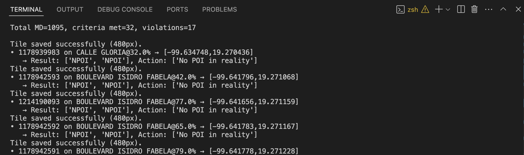
For each POI, the system:
- Interpolates its exact location along the road geometry.
- Generates and rotates satellite image patches centered on the POI.
- Uses a CLIP-based AI model to classify the patch and determine if a POI is visible, and on which side.
- Assigns a scenario and suggests an action (e.g., delete, move, or keep the POI).
- Outputs results and suggested actions to a CSV for easy review.
🏗️ How we built it
- Data Processing: Loads and indexes HERE's NAV and Naming GeoJSONs and POI CSVs.
- Geometric Analysis: Filters POIs on
MULTIDIGIT = 'Y'roads, interpolates their position, and builds polygons between forward/backward lanes. - Satellite Imagery: Downloads and rotates satellite tiles from HERE Maps, generating image patches for each POI.
- AI Classification: Uses OpenAI's CLIP model to classify each patch as containing a POI or not, and to determine its position (center or sidewalk).
- Scenario Assignment: Applies business rules to assign each POI to one of the following scenarios:
- Non-existent POI → Suggest Delete POI
- Wrong side of the road → Suggest Change Side
- Legitimate exception → No action needed
- Output: Saves results and actions to a CSV file and generates example images for flagged POIs.
🧩 Challenges we ran into
- Satellite Alignment: Ensuring patches are correctly rotated and centered on the POI, regardless of road orientation.
- Ambiguous POIs: Some POIs are visually ambiguous or not visible in satellite imagery, making AI classification challenging.
- Data Quality: Handling inconsistencies in the source data, such as missing or misclassified road segments.
- Performance: Processing large datasets efficiently, especially when downloading and handling high-resolution imagery.
🏅 Accomplishments that we're proud of
- Fully automated pipeline from raw data to actionable CSV output.
- Robust geometric analysis to handle complex road layouts.
- Integration of zero-shot AI classification (CLIP) for visual POI validation.
- Clear scenario tagging and action suggestion for each POI.
- Modular codebase that can be extended to other cities or datasets.
📚 What we learned
- The importance of combining geometric, visual, and semantic analysis for robust map validation.
- How to leverage zero-shot models like CLIP for geospatial tasks.
- The value of clear scenario definitions and business rules in automating map data QA.
🔮 What's next for POI Validation
- Model Improvements: Fine-tune or ensemble models for even better POI detection.
- UI/Visualization: Build a web dashboard for interactive review and correction of flagged POIs.
- Scalability: Optimize for batch processing of entire cities or countries.
- Generalization: Extend to other types of map features (e.g., traffic signs, crosswalks).
- Feedback Loop: Integrate user feedback to continually improve classification accuracy.

Log in or sign up for Devpost to join the conversation.