Inspiration
“Today, choosing where to live, invest, or even grab coffee still relies on guesswork.
We look at an address, maybe scroll through maps or reviews—but none of that actually tells us what daily life there feels like.
That’s the gap.
We call it the walkability gap — the disconnect between location and lived experience.
What it does
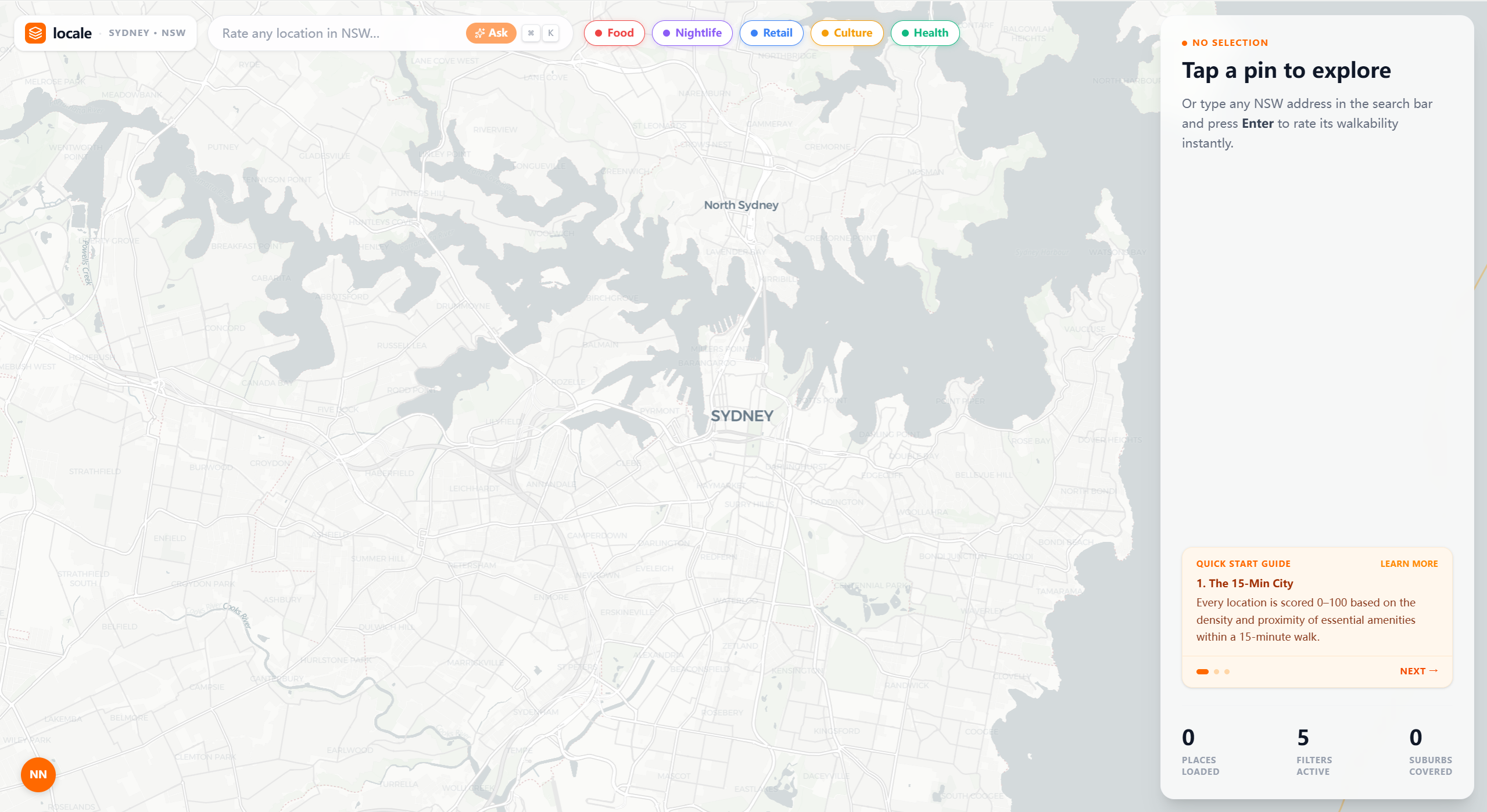
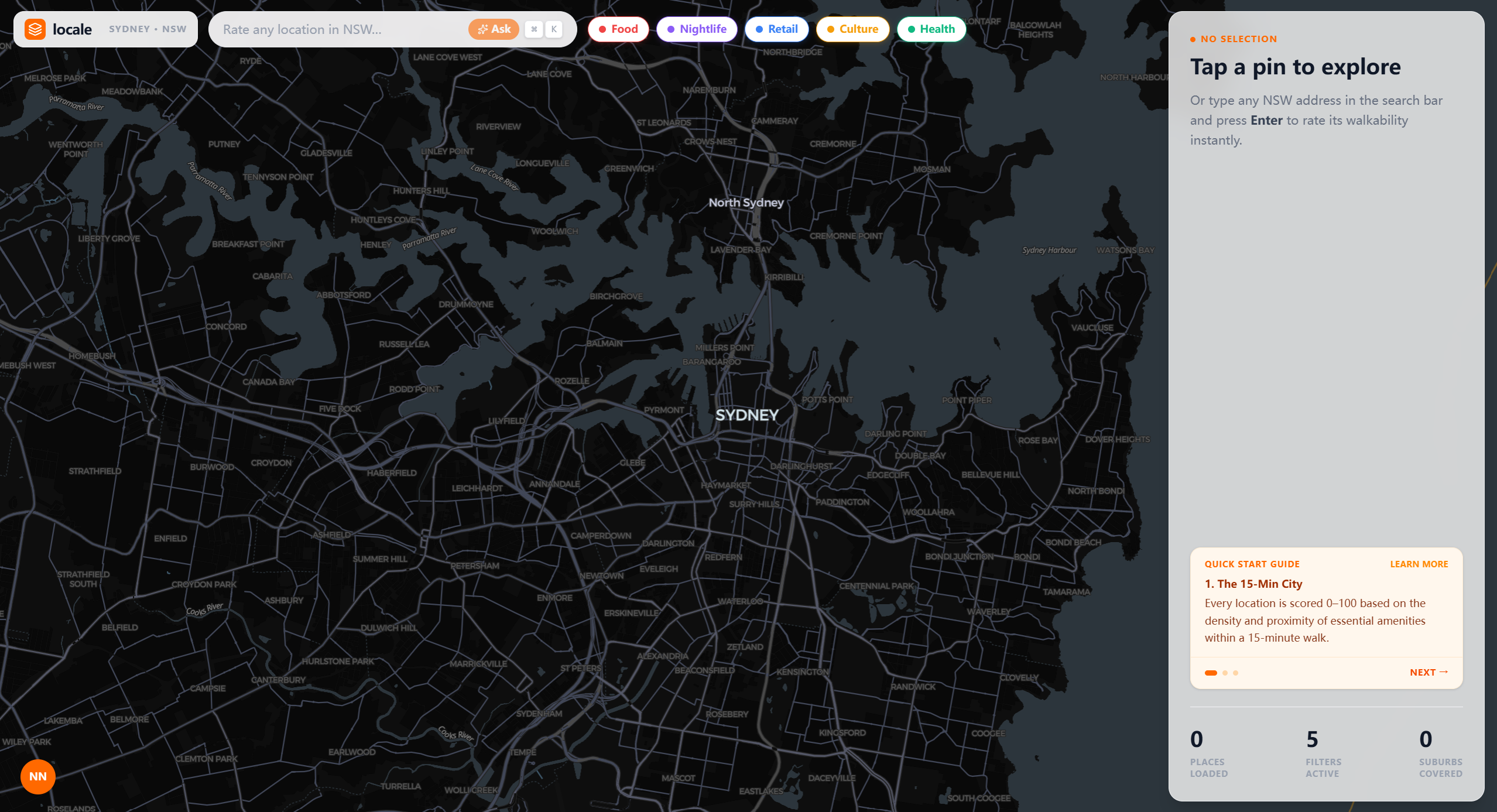
LOCALE is a proximity-based urban accessibility scoring platform.
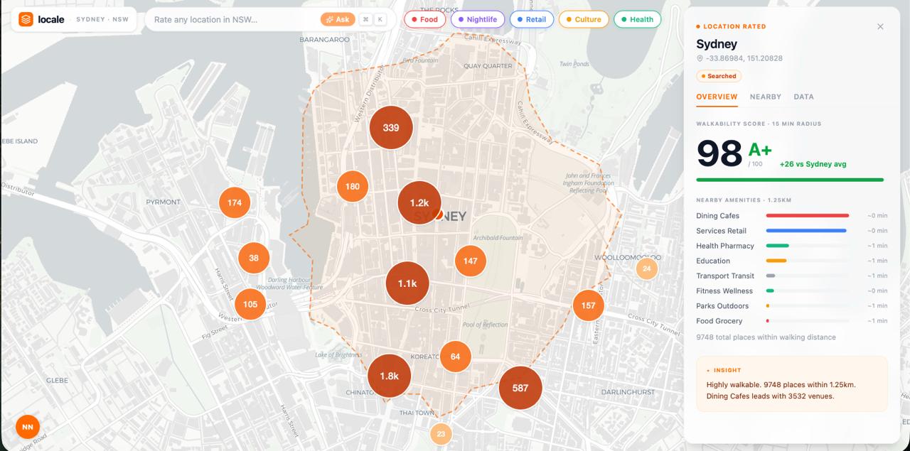
Given any point on a map, LOCALE evaluates its surrounding environment and produces a lifestyle score (0–100) based on what can be reached within a walkable radius.
We break accessibility into key categories:
- 🍜 Food
- 🌃 Nightlife
- 🛍 Retail
- 🎭 Culture
- 🏥 Health
Rather than just listing nearby places, LOCALE:
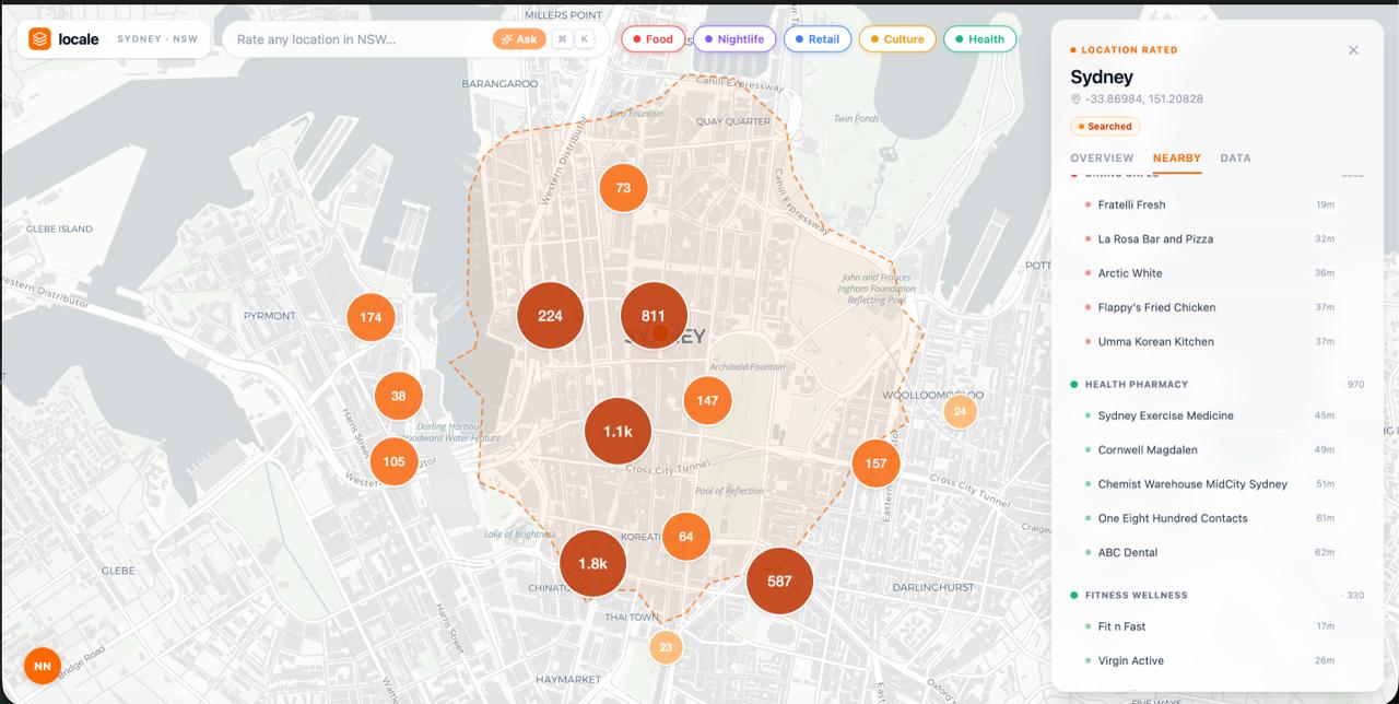
- Aggregates real-world Points of Interest (POIs)
- Weights them based on distance and density
- Visualizes them using heat maps and clustered markers
The result is a quantifiable, visual representation of livability.
How we built it
We approached LOCALE as a data + visualization problem.
🧠 Data Layer
- Queried large-scale POI datasets (e.g., Foursquare Open Source Places)
- Processed data using DuckDB + Python for fast geospatial filtering
- Filtered relevant entries (e.g., NSW, valid coordinates)
⚙️ Scoring Engine
Designed a scoring model combining:
- Distance-based decay
- Category weighting
- Density normalization
Structured outputs into normalized scores (0–100)
🗺 Visualization Layer
- Built interactive map interfaces using MapLibre GL
Implemented:
- Heatmaps for density
- Clustered markers (bubble-style)
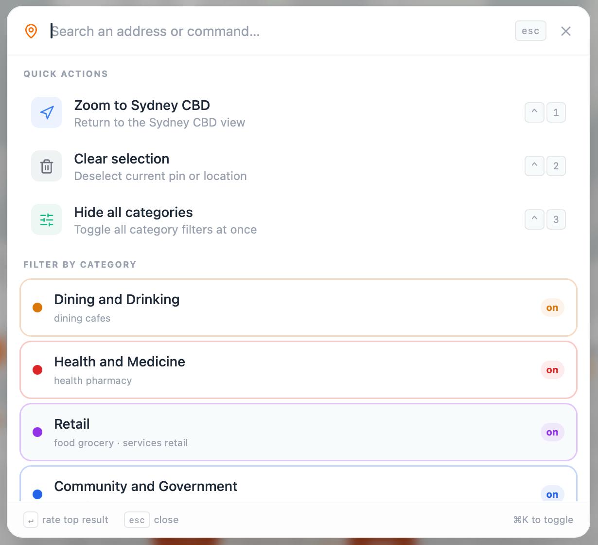
- Category-based filtering
💻 Frontend / UX
- Designed a web-based GIS-style interface
Focused on:
- Clean UI (modern urban tech aesthetic)
- Rounded cards + data panels
- Instant visual feedback
Challenges we ran into
1. Data Quality & Noise
POI datasets are large but messy. We had to handle:
- Missing coordinates
- Inconsistent categories
- Duplicate entries
2. Scoring Calibration
Designing a “fair” score was harder than expected:
- Too much weight on density → CBD bias
- Too much weight on distance → sparse areas dominate
Balancing this required multiple iterations.
3. Performance
Rendering thousands of points on a map in real-time:
- Required clustering and filtering strategies
- Forced us to optimize queries and frontend rendering
4. UX Clarity
A number alone isn’t enough. We had to ensure:
- Users understand why a score is high or low
- Visual layers explain the data intuitively
Accomplishments that we're proud of
- 🚀 Built a functional end-to-end prototype within hackathon time
- 📊 Aggregated 8,000+ POIs across 181 NSW suburbs
- 🗺 Delivered a working interactive map with clustering and filtering
- 🧠 Designed a scalable scoring model, not just a static demo
- 🎯 Created a product that is both technical and intuitive
What we learned
- Data ≠ insight — visualization is what makes data actionable
- Urban problems require multi-dimensional thinking (distance, density, diversity)
- Performance and UX are tightly linked in map-based applications
- A strong concept (like the 15-minute city) becomes powerful when quantified
What's next for LOCALE - Location Intelligence Explorer
We see LOCALE evolving into a full urban intelligence platform.
🔜 Short Term
- Improve scoring accuracy with better weighting models
- Expand dataset coverage beyond NSW
- Add user controls (custom weights per category)
🚀 Mid Term
- Introduce AI-based recommendations (e.g., “best suburbs for your lifestyle”)
- Predict future accessibility trends using temporal data
🌍 Long Term Vision
Become a decision engine for cities:
- Urban planning insights
- Real estate valuation signals
- Smart city integration
🔥 Final Thought
LOCALE transforms location from a static coordinate into a dynamic, measurable experience.
Because where you are… should tell you what your life there will actually look like.
If you want, I can:
- make this more “low-AI” human-written style (for submission safety)
- or compress into a Devpost version (shorter + punchier)
Built With
- fastapi
- foursquare
- framer-motion
- geospatial
- javascript
- maplibre-gl
- next.js
- openstreetmap
- pydantic
- python
- react
- sqlite
- tailwind-css
- typescript
- uvicorn

Log in or sign up for Devpost to join the conversation.