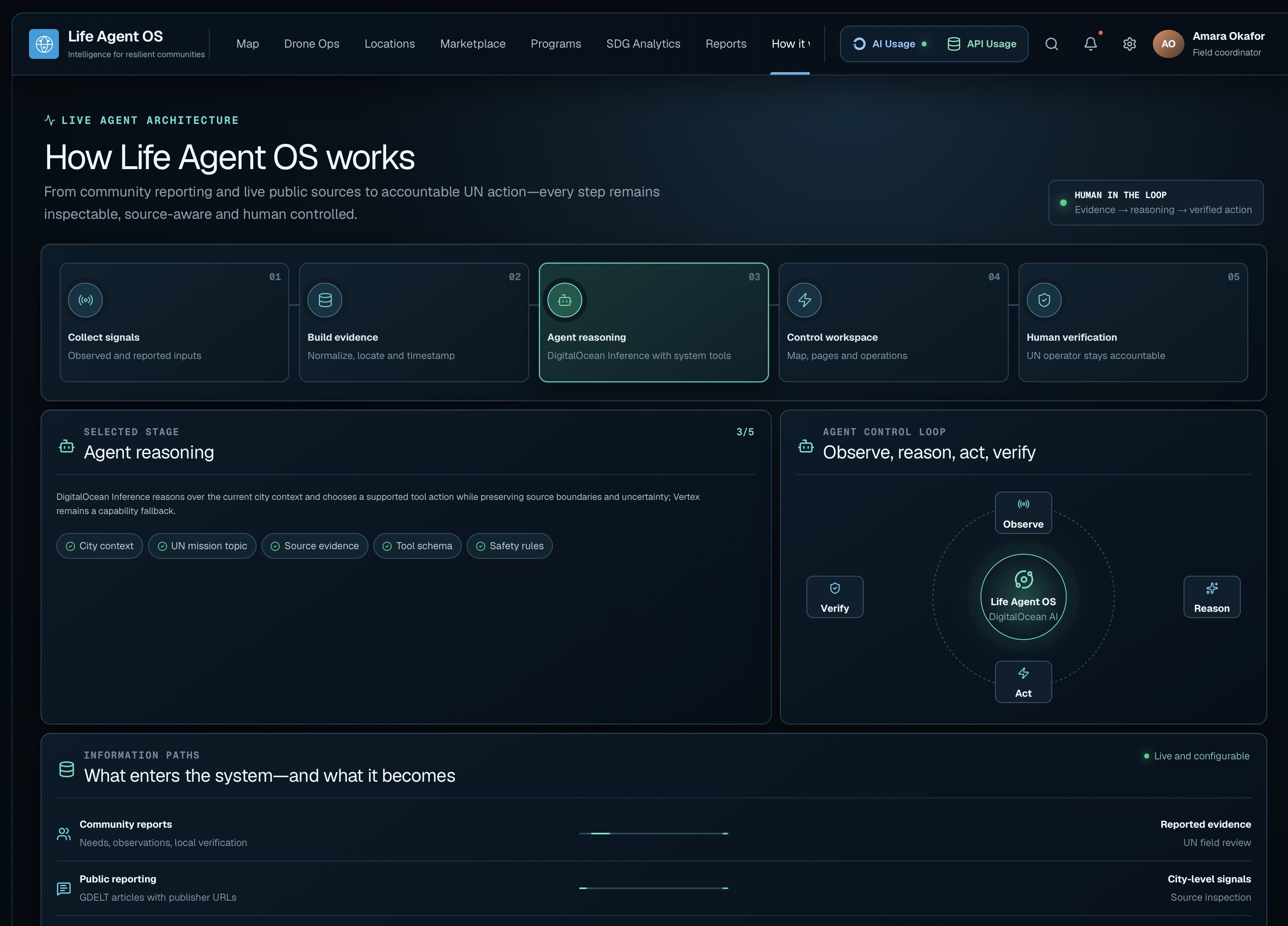
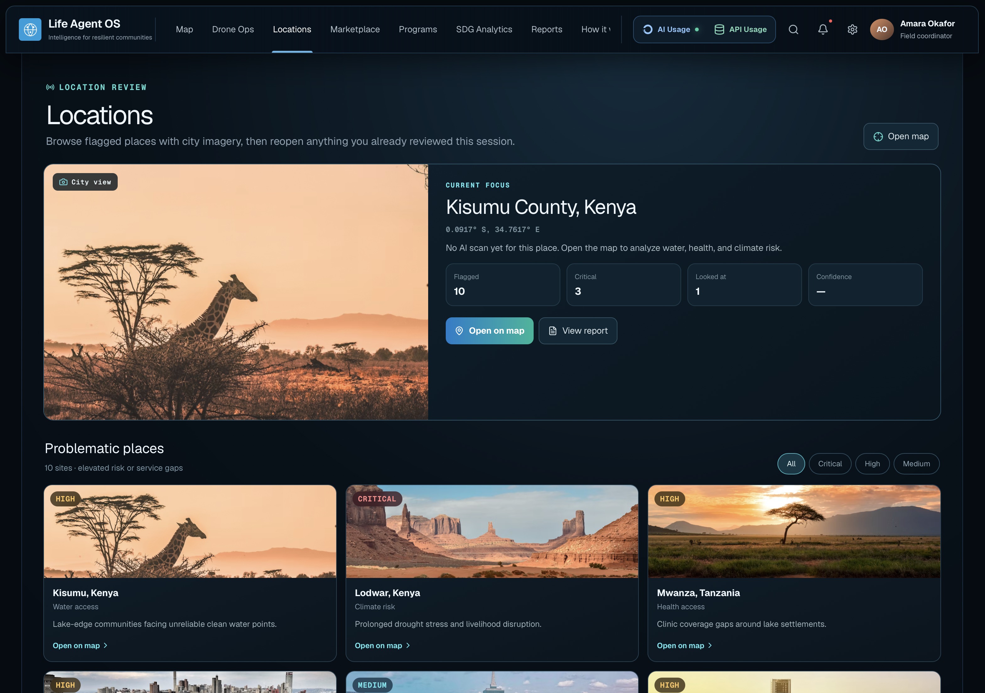
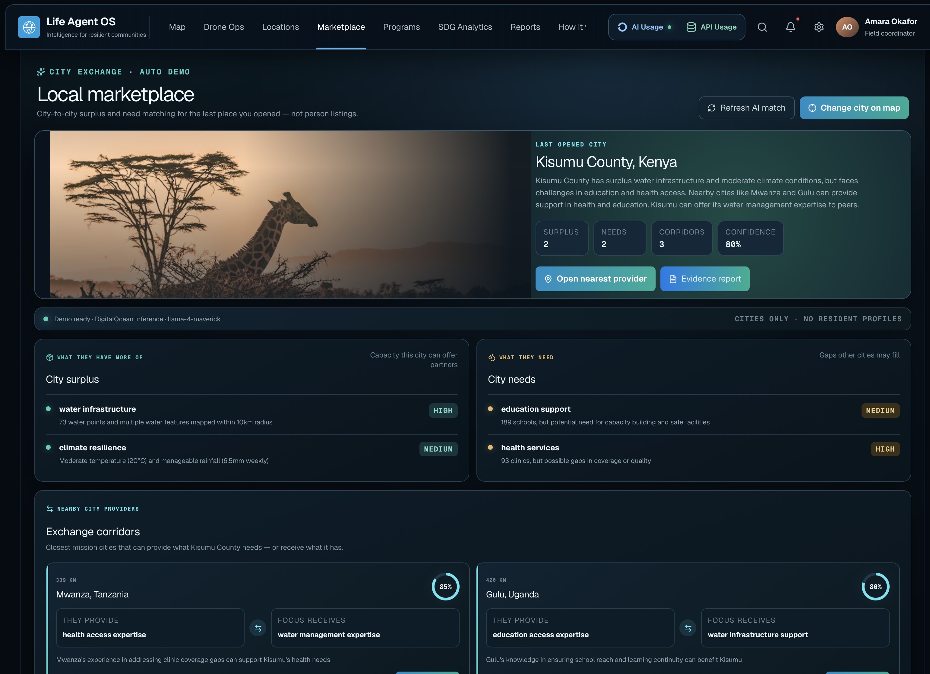
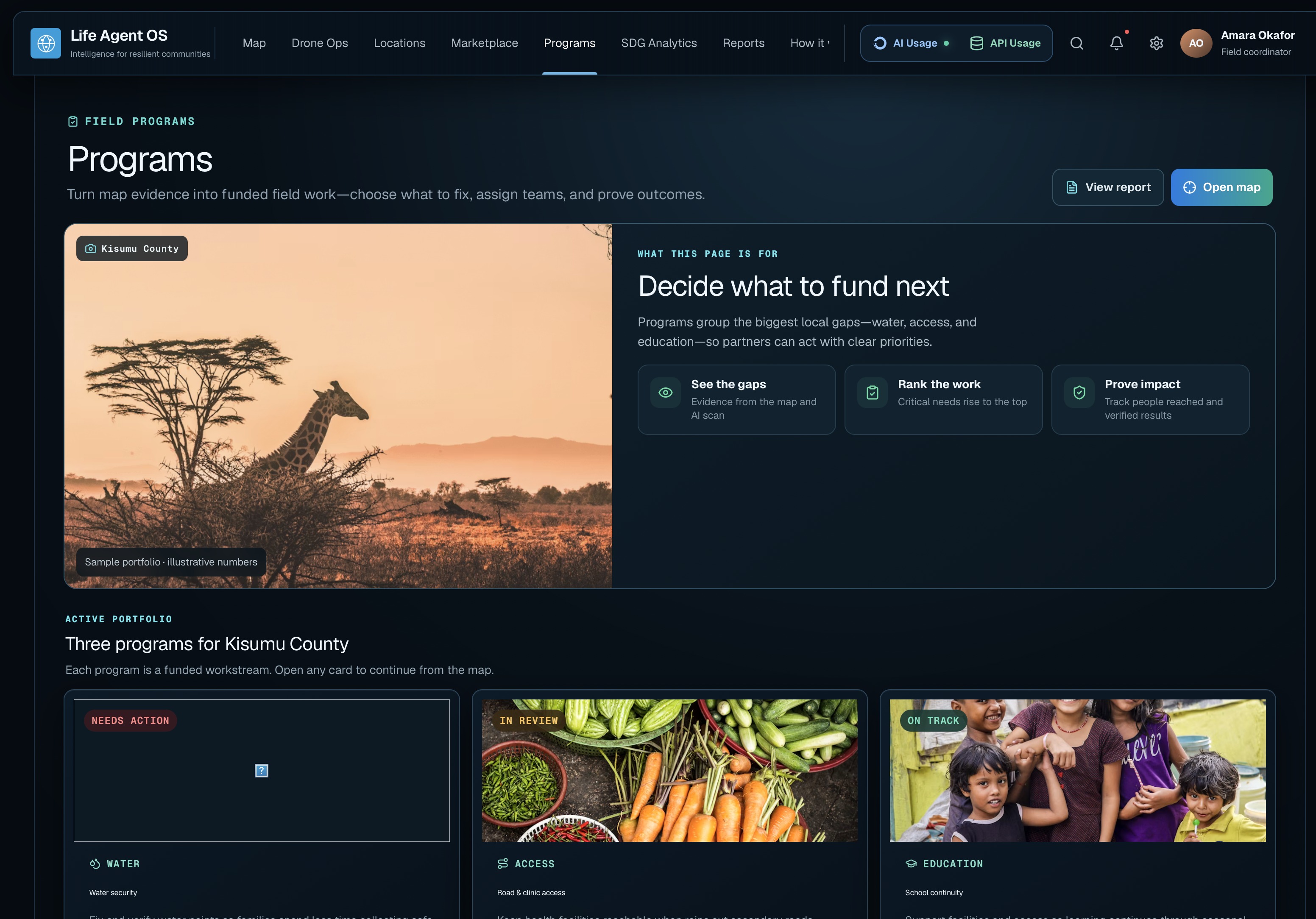
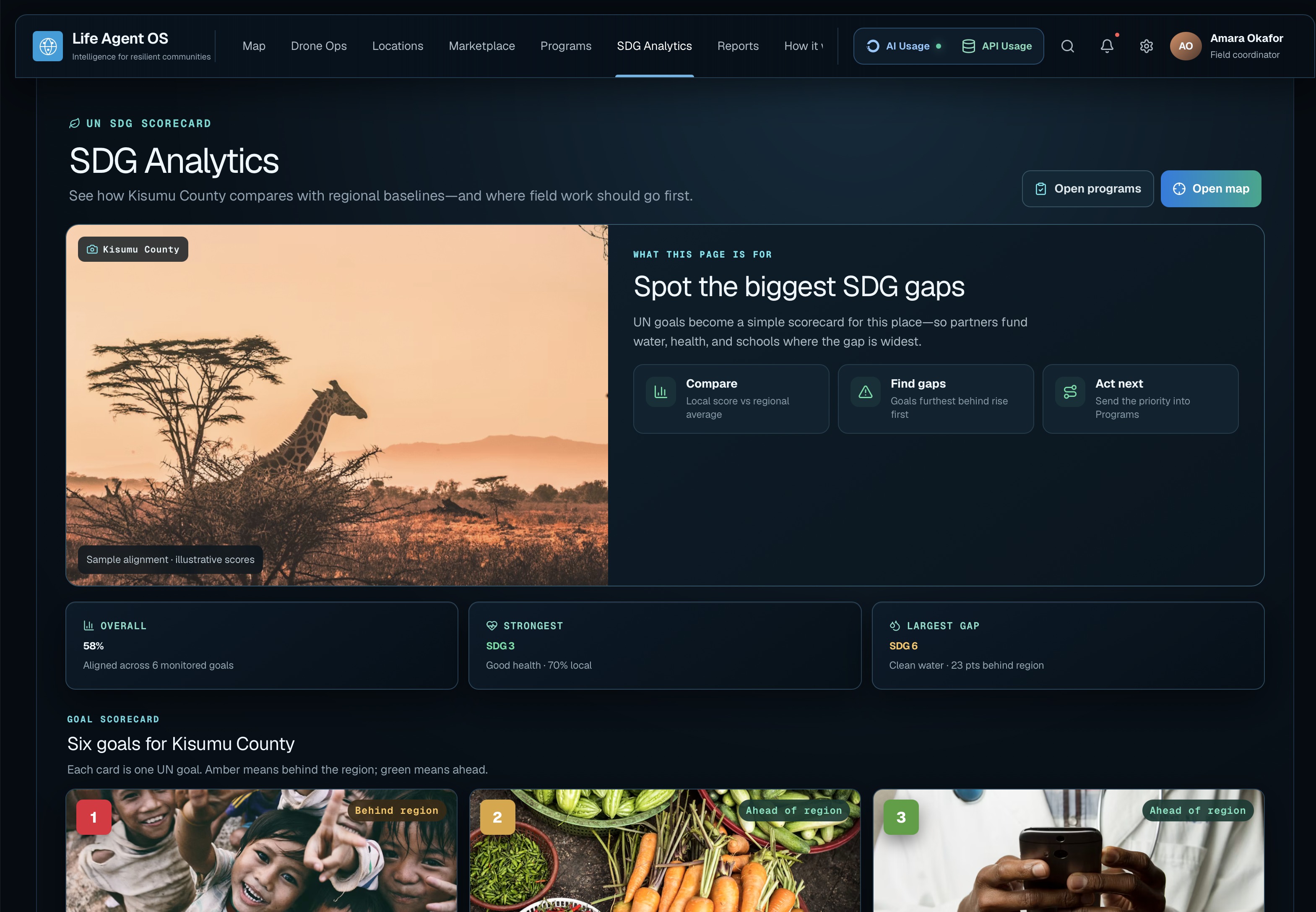
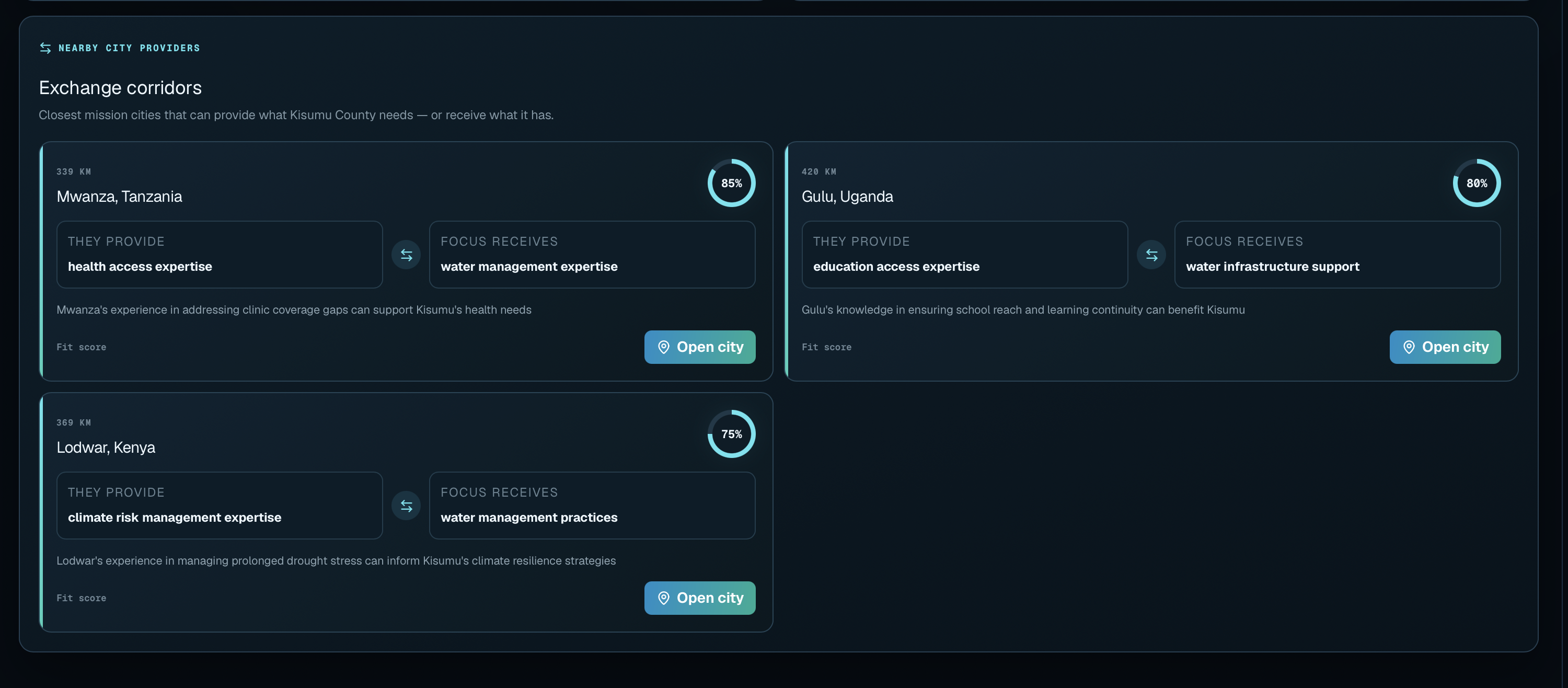
Inspiration Humanitarian teams often work with fragmented information spread across maps, news reports, satellite systems, community messages, spreadsheets, and field observations. We were inspired to create one intelligent workspace where UN teams can understand what is happening in a city and coordinate action quickly.
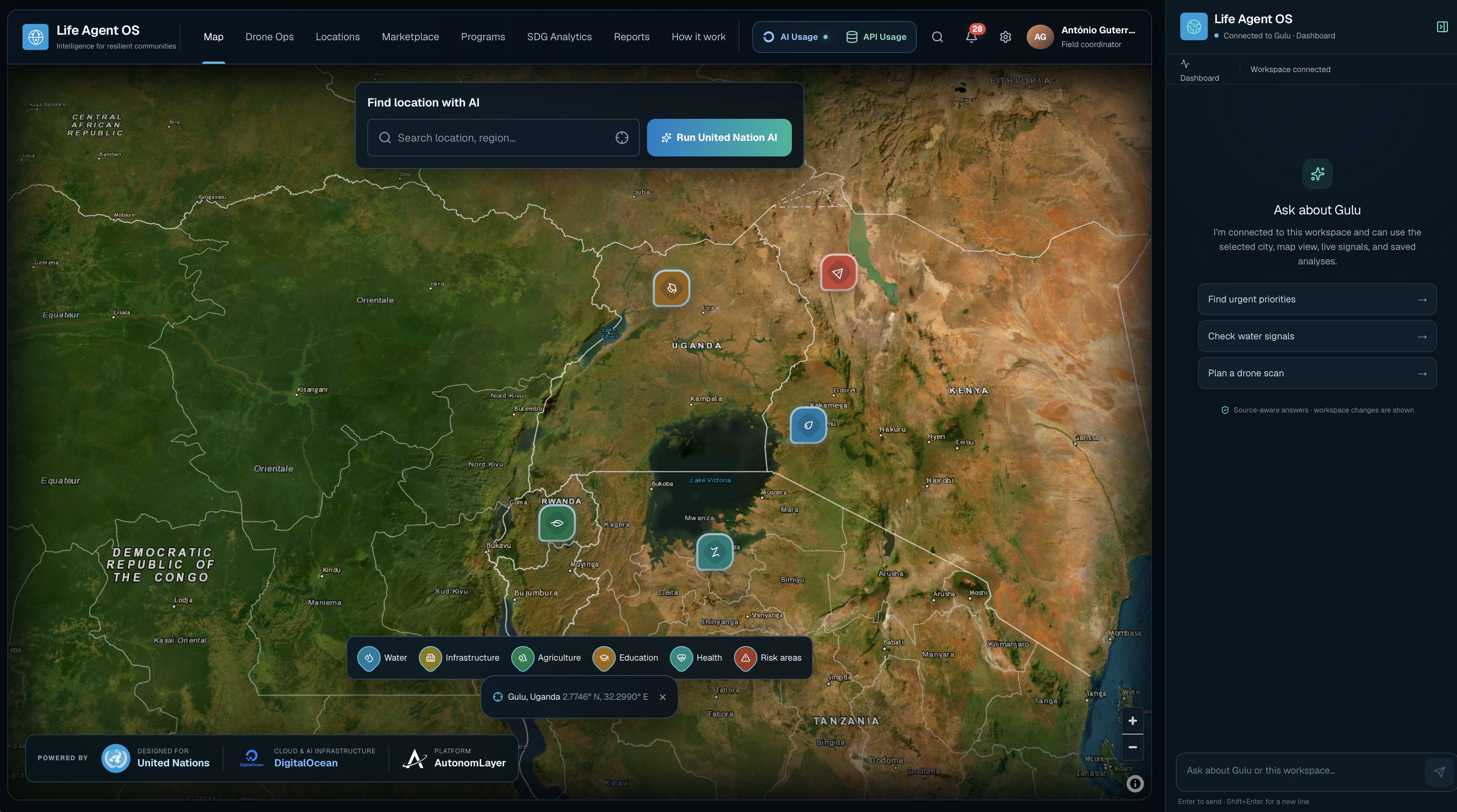
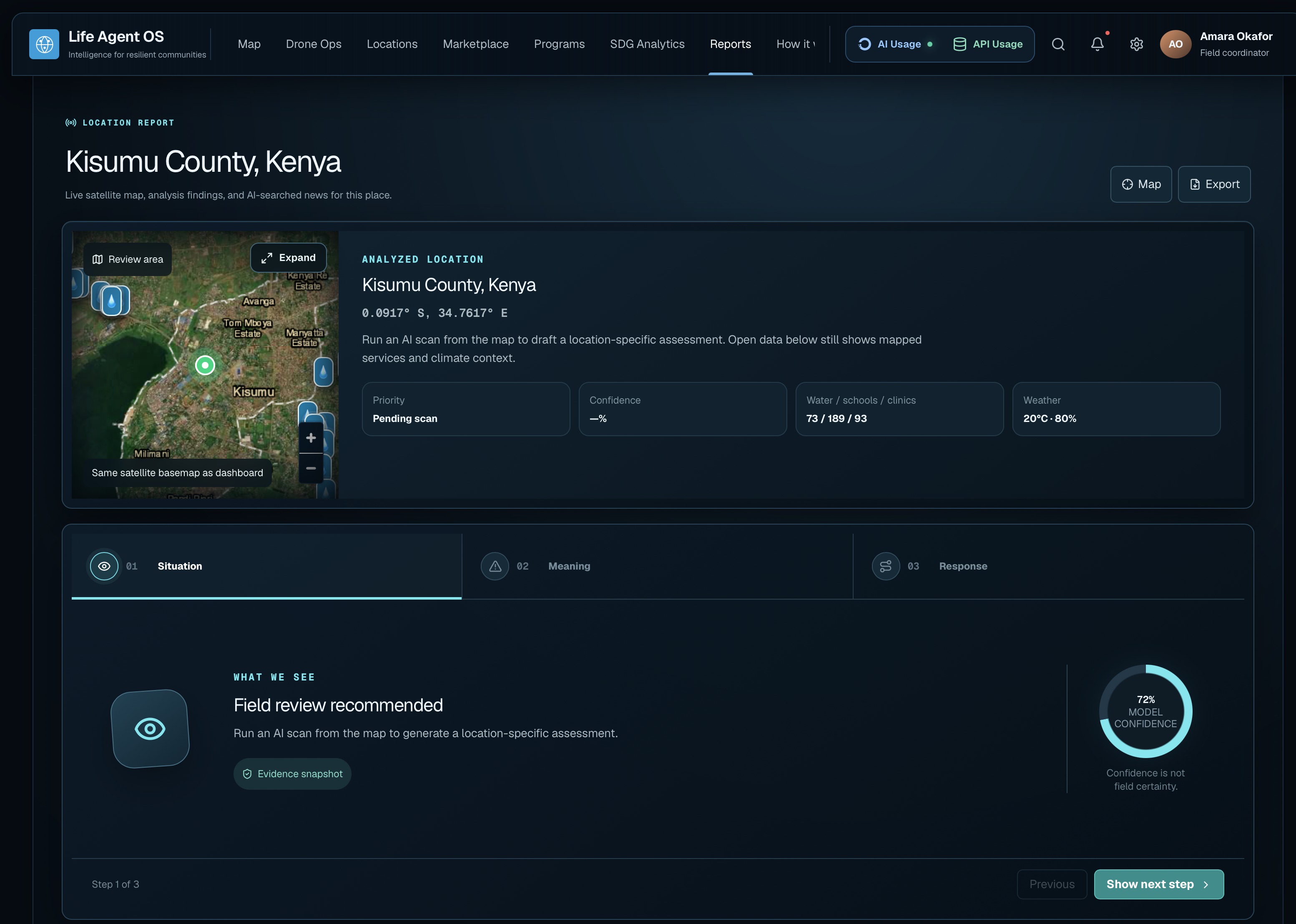
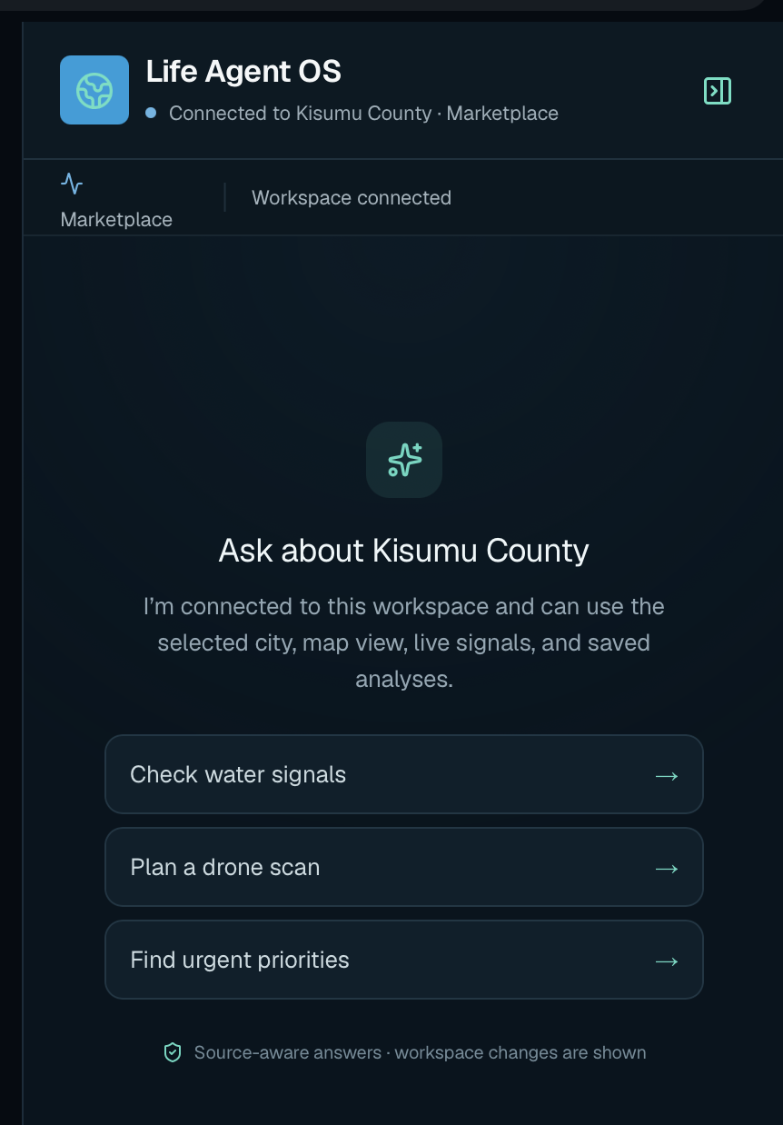
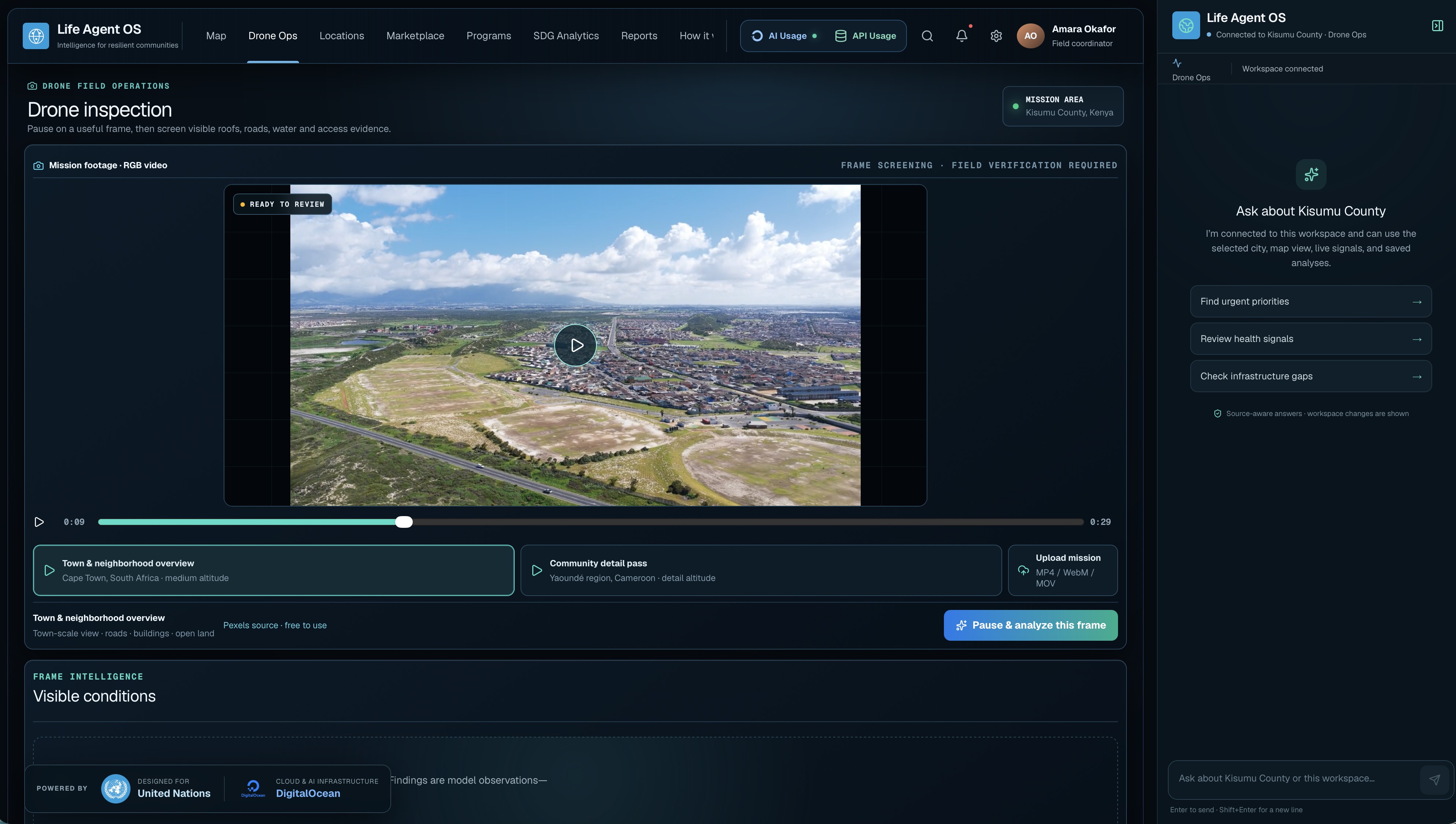
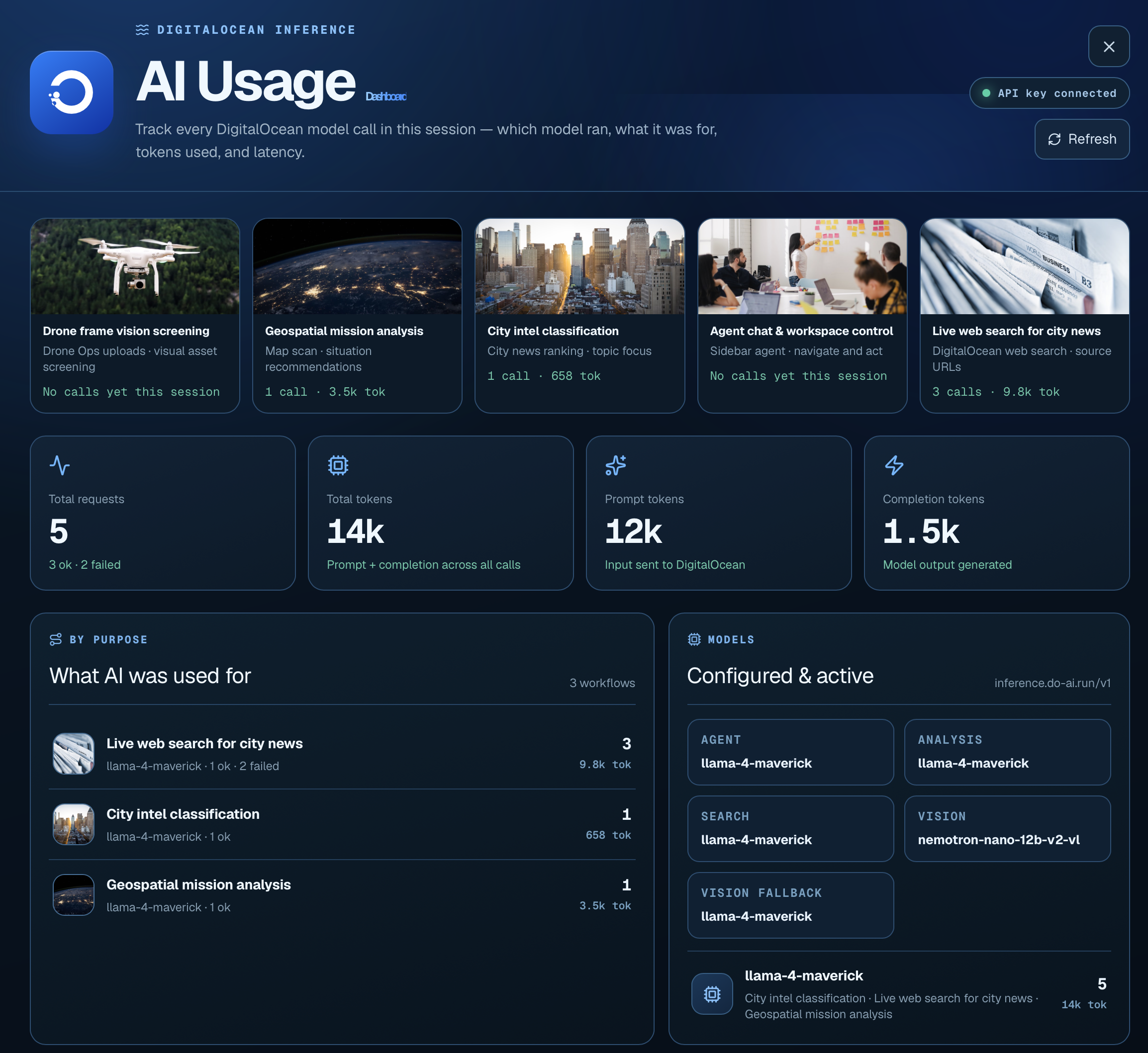
What it does Life Agent OS is an AI-powered mission-control platform for cities and humanitarian operations. Users can search for any location, explore a live map, analyze recent news, review environmental and infrastructure data, and upload drone imagery to detect buildings, roads, water systems, vegetation, and possible risks. A conversational AI agent controls the interface, navigates between operational pages, updates the map, launches analyses, explains findings, provides sources, and recommends next steps—while keeping human operators in control.
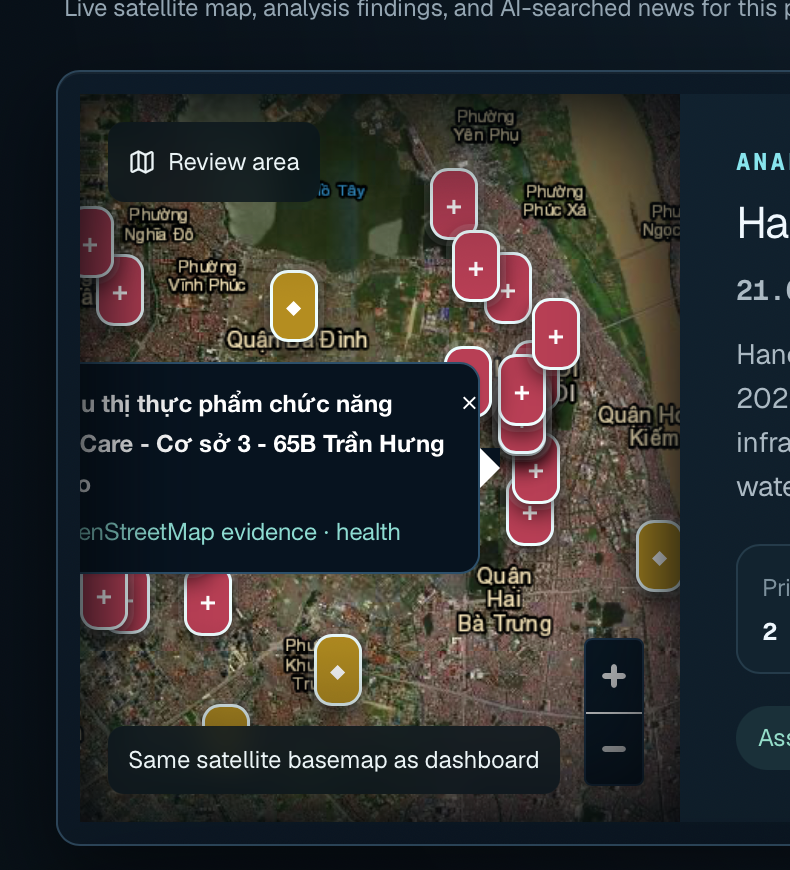
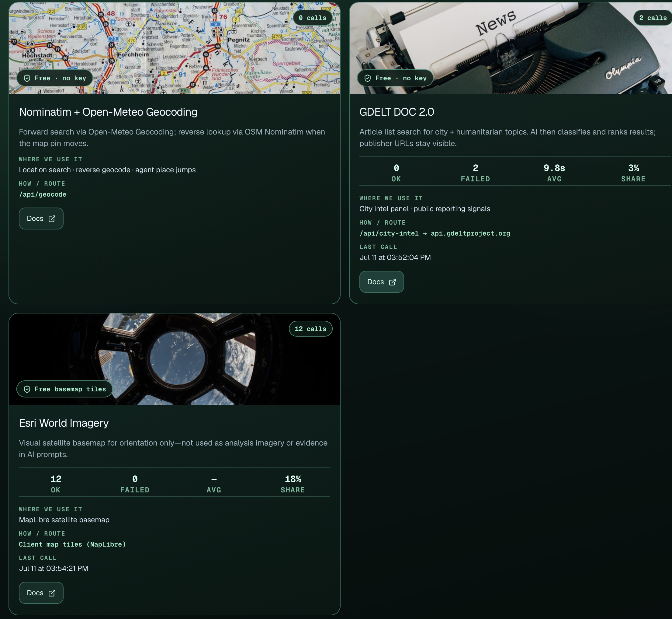
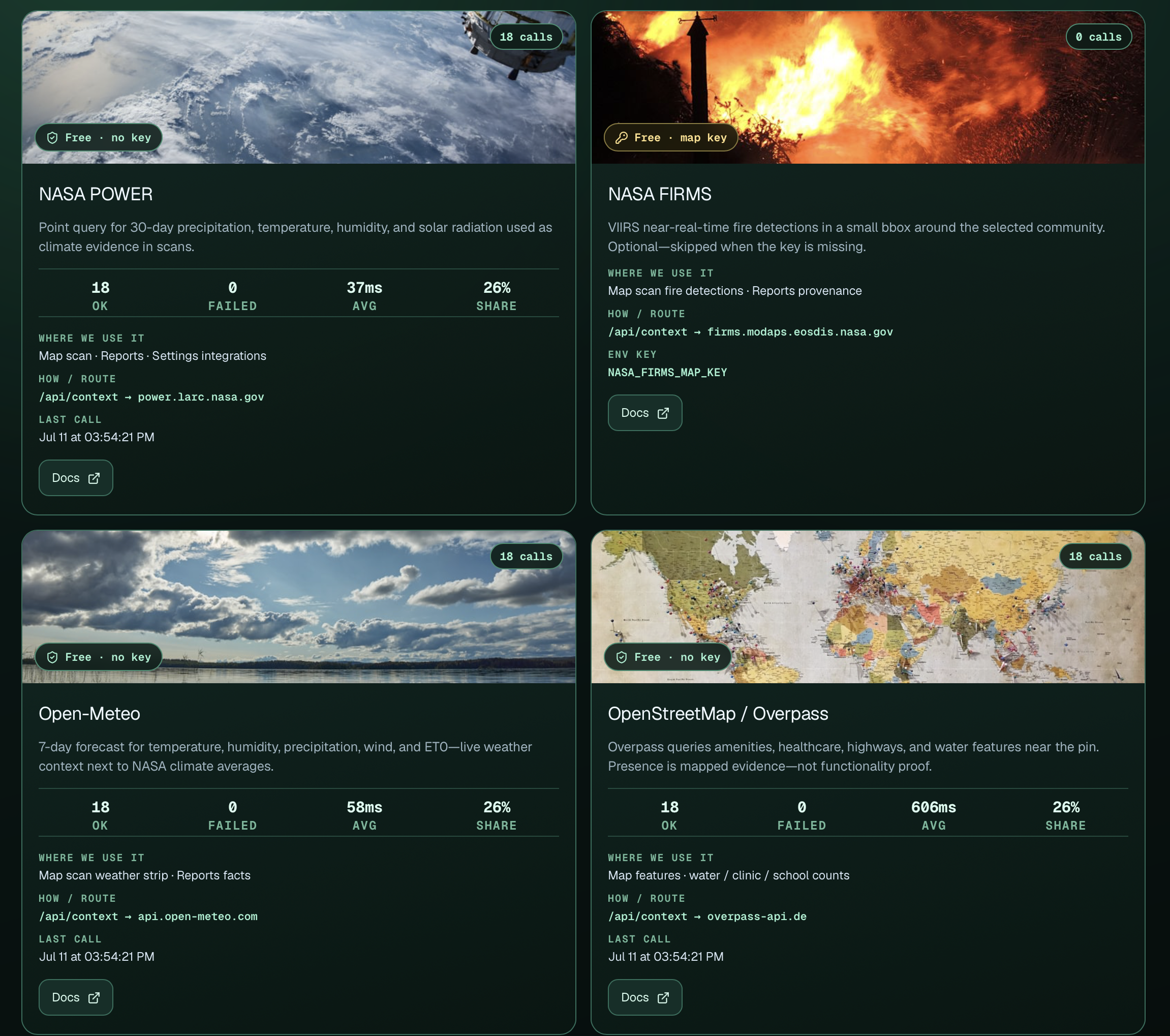
How we built it We built Life Agent OS as a modern web application with an interactive geospatial workspace and a persistent AI agent. The platform combines: Google Vertex AI for agent reasoning and tool selection OpenStreetMap for free geospatial data NASA POWER and FIRMS for climate and environmental intelligence GDELT for location-based news monitoring Weather and geocoding services Drone and satellite imagery analysis workflows Source-aware reports and operational dashboards The interface was inspired by mission-control systems, with a dark glassmorphism design, live maps, animated intelligence pipelines, charts, alerts, and human-verification checkpoints. Challenges we ran into The biggest challenge was combining sources with different formats, geographic precision, refresh rates, and reliability levels. We also had to ensure that AI-generated conclusions were clearly separated from verified facts. Building an agent that could control the interface without making the experience unpredictable required structured tools, explicit actions, and strong boundaries. Finally, presenting complex intelligence in a clear, fast, and visually coherent workspace required significant iteration across maps, navigation, responsive layouts, and information hierarchy. Accomplishments that we're proud of We are proud that Life Agent OS is more than a static dashboard. It can: Investigate real locations using live data Connect public reporting with geospatial context Display findings and source links directly on the map Analyze uploaded field and drone imagery Control pages and workflows through natural-language commands Preserve uncertainty, provenance, and human accountability Turn complex city intelligence into an accessible mission-control experience What we learned We learned that effective humanitarian AI needs more than a powerful model. It requires trustworthy sources, clear uncertainty, understandable reasoning, operational tools, and human oversight. We also learned that the strongest agent experience emerges when conversation, maps, evidence, and actions share the same context. The AI becomes significantly more useful when it can help users operate the system—not merely answer questions. What's next for Life Agent OS Next, we plan to add: Real-time community self-reporting channels Multilingual voice and messaging support Advanced satellite and drone change detection Collaborative incident rooms for UN and NGO teams Offline-first tools for field operators Verified alerts and escalation workflows Predictive risk and resource-allocation models Secure integrations with government and humanitarian systems Expanded coverage for disaster response, water security, health, agriculture, and infrastructure Our long-term vision is for Life Agent OS to become an accountable AI operating system for understanding cities, coordinating humanitarian missions, and helping communities receive support faster.
Built With
- ai
- api
- cloud
- css
- drone
- firms
- gdelt
- geocoding
- imagery
- leaflet.js
- nasa
- next.js
- nominatim
- open-meteo
- openstreetmap
- power
- react
- satellite
- typescript
- vertex


Log in or sign up for Devpost to join the conversation.