Inspiration
Young people care about their surroundings, but planning documents are technical and environmental consequences can feel abstract. Inspired by the UN land-use challenge, we wanted teenagers to explore familiar places, understand connected impacts, and develop informed proposals.
What it does
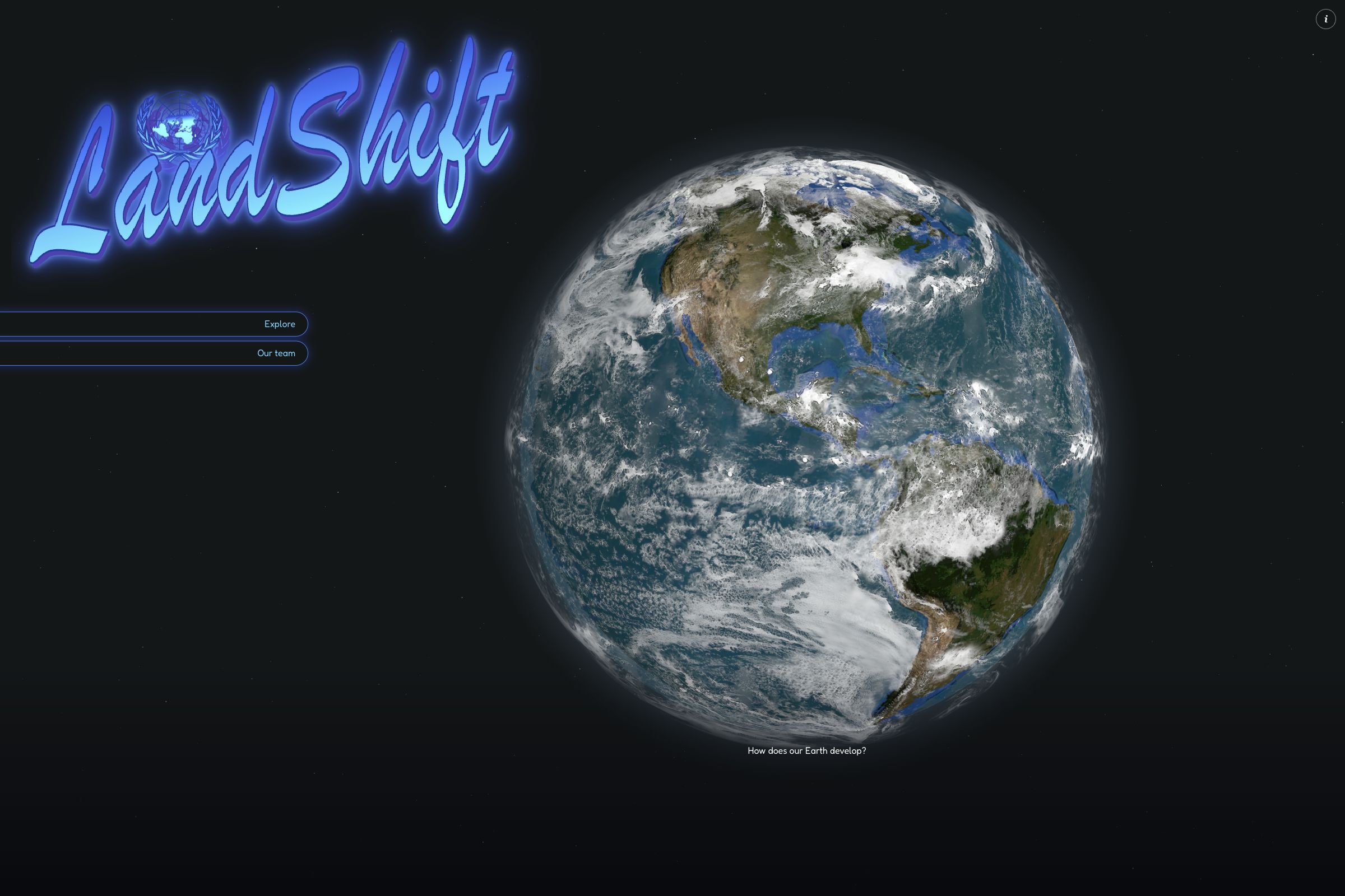
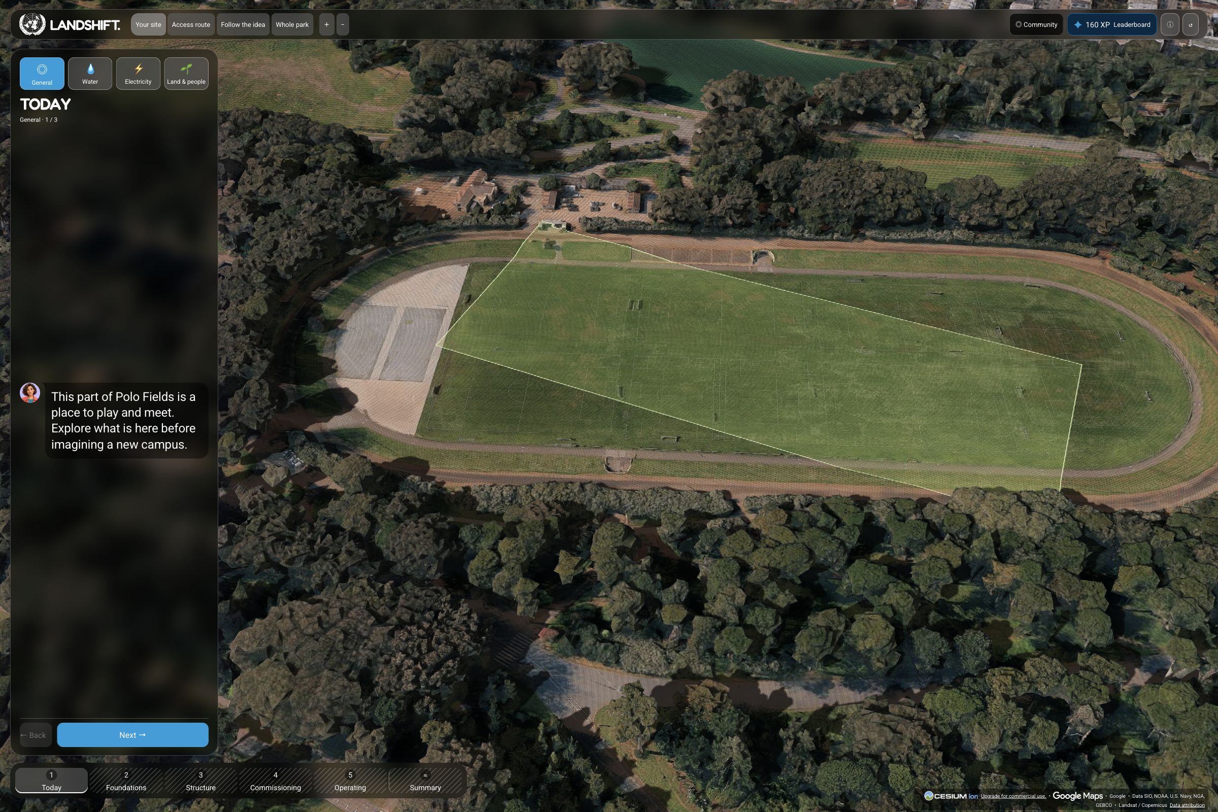
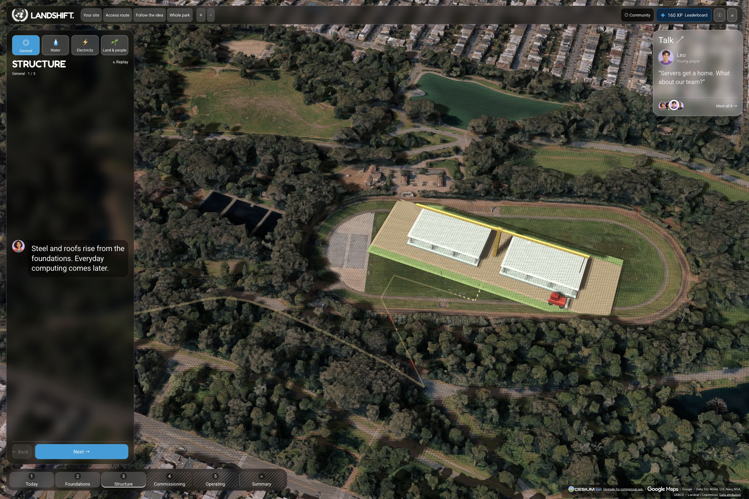
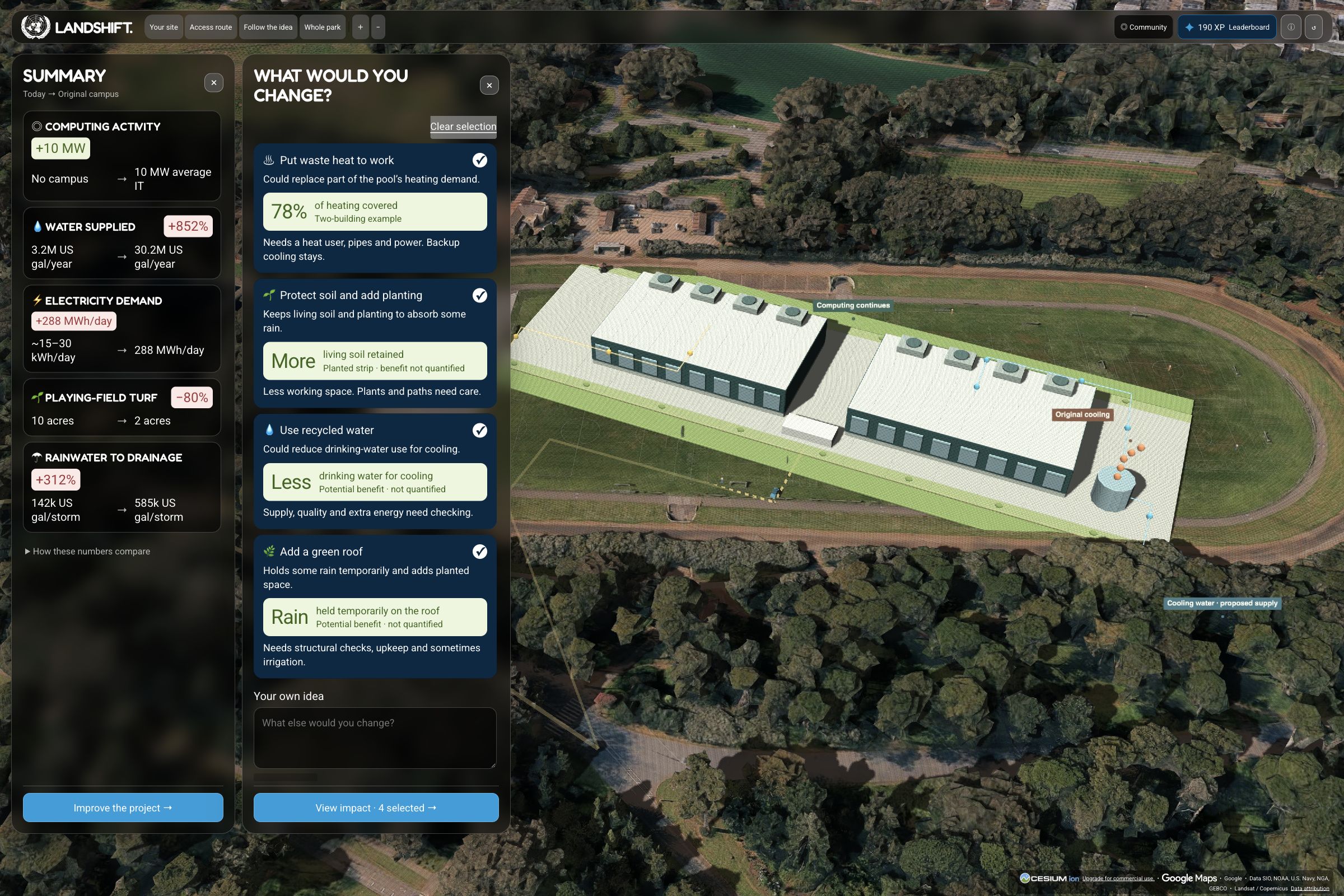
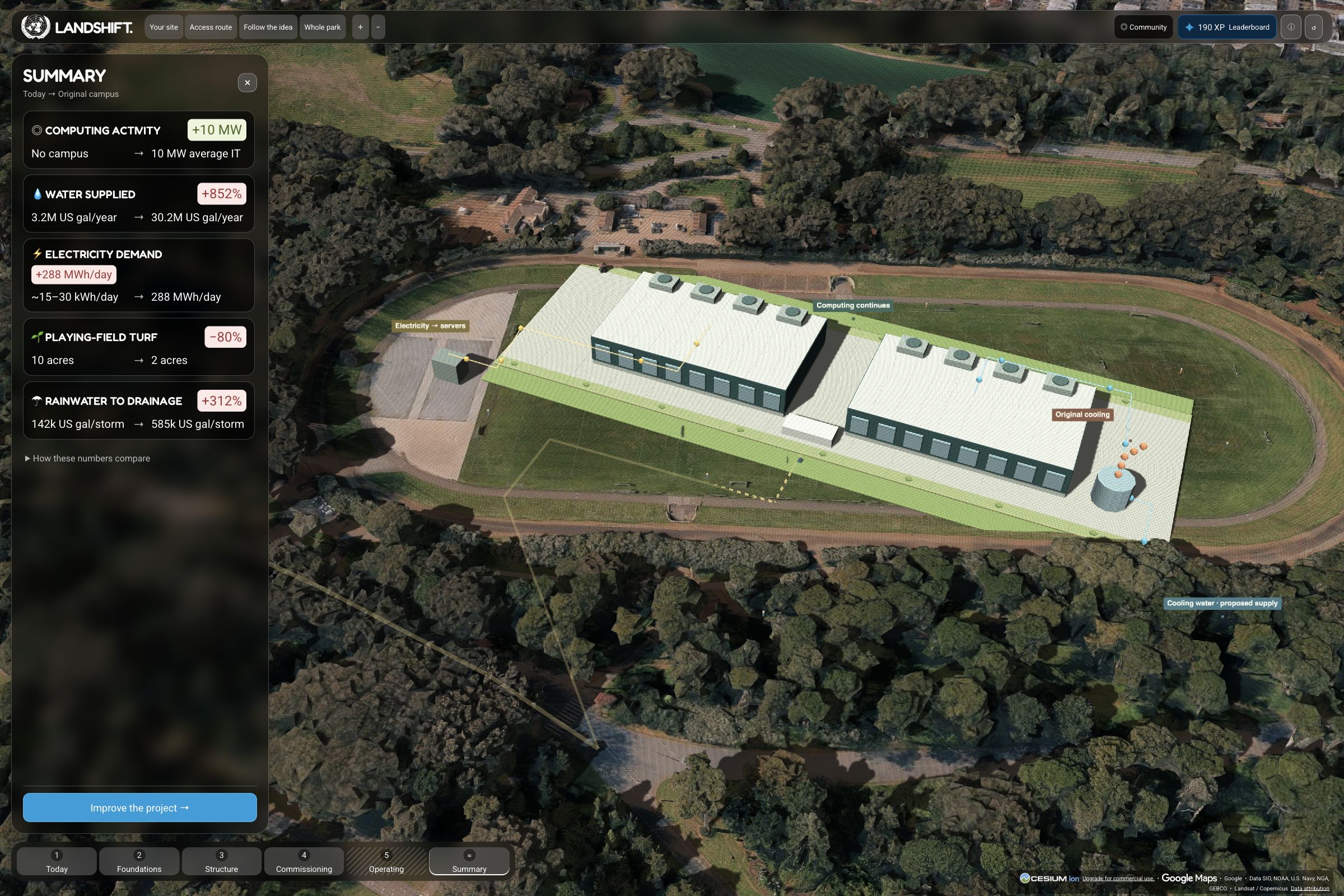
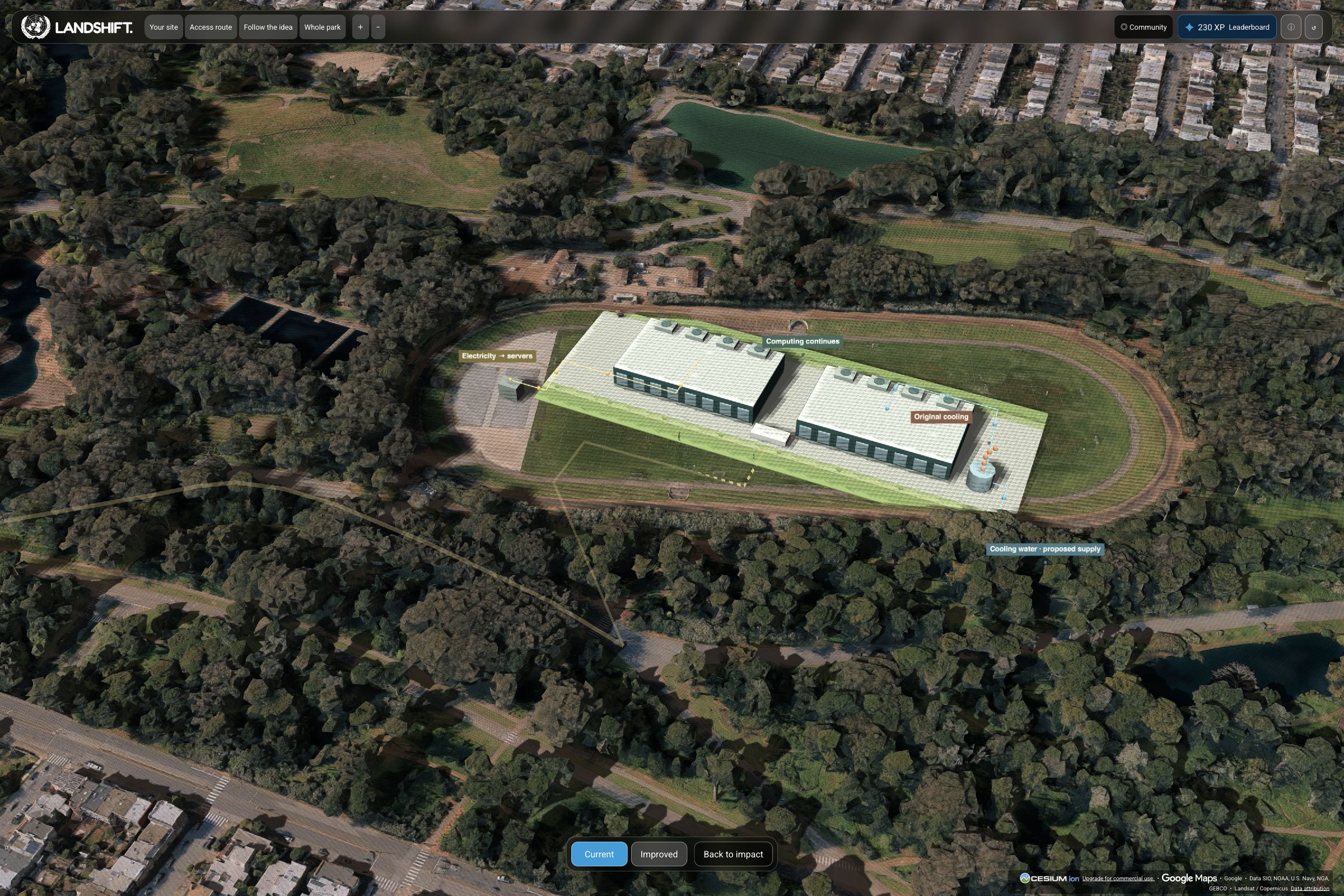
LandShift is an educational simulation tool built around real-world 3D maps. Players explore how land-use choices connect water, energy, soil, public space, and community well-being.
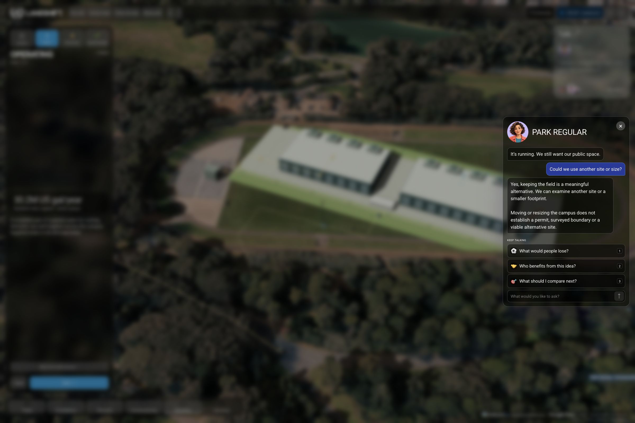
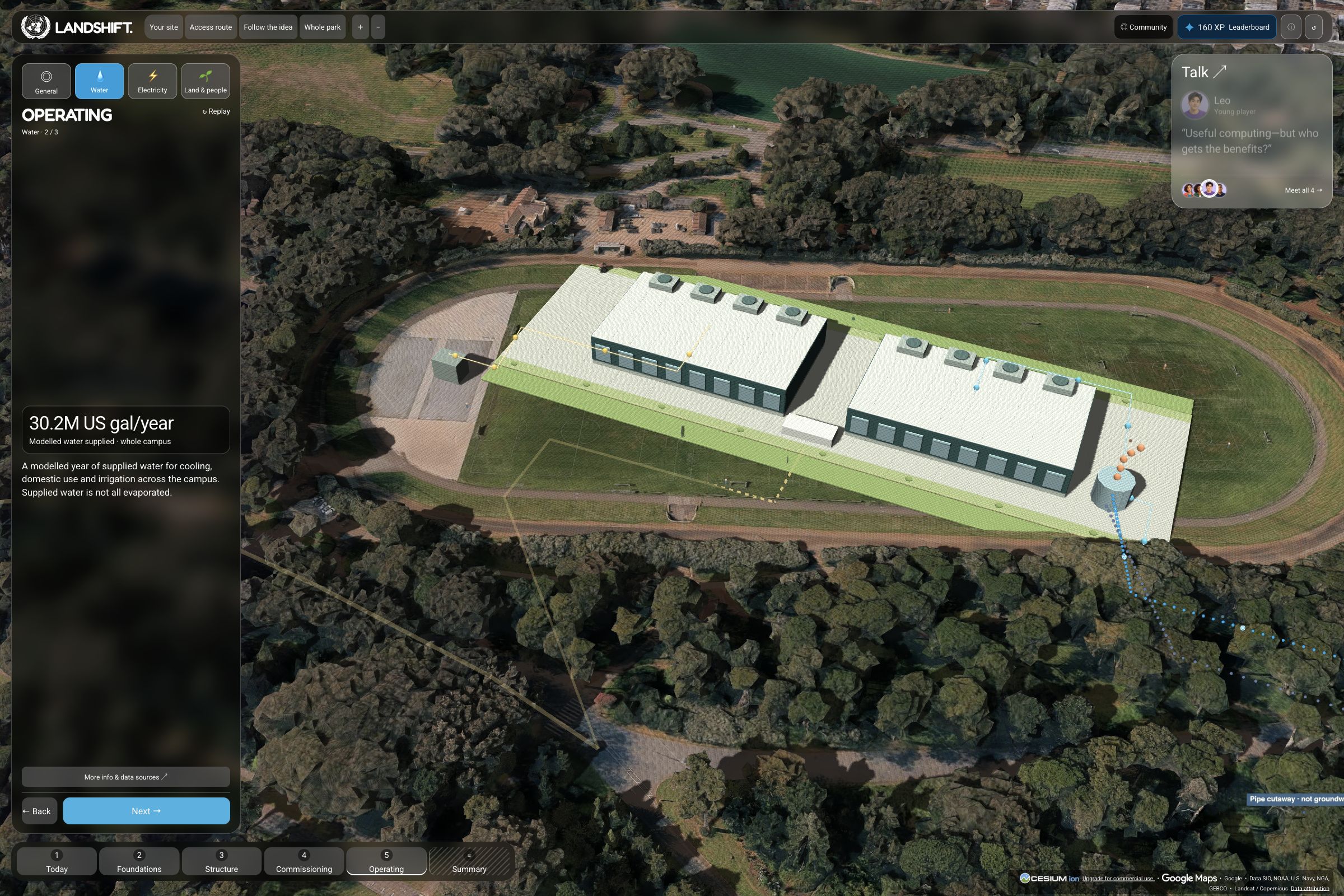
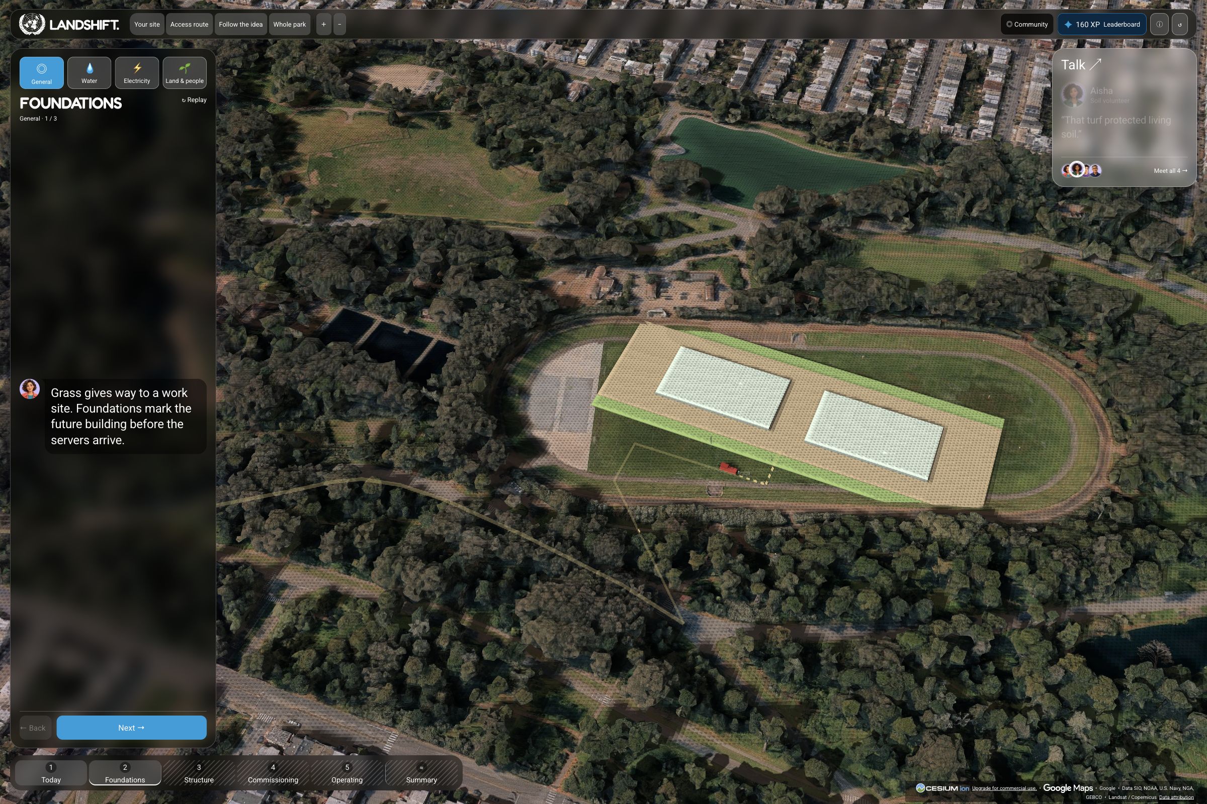
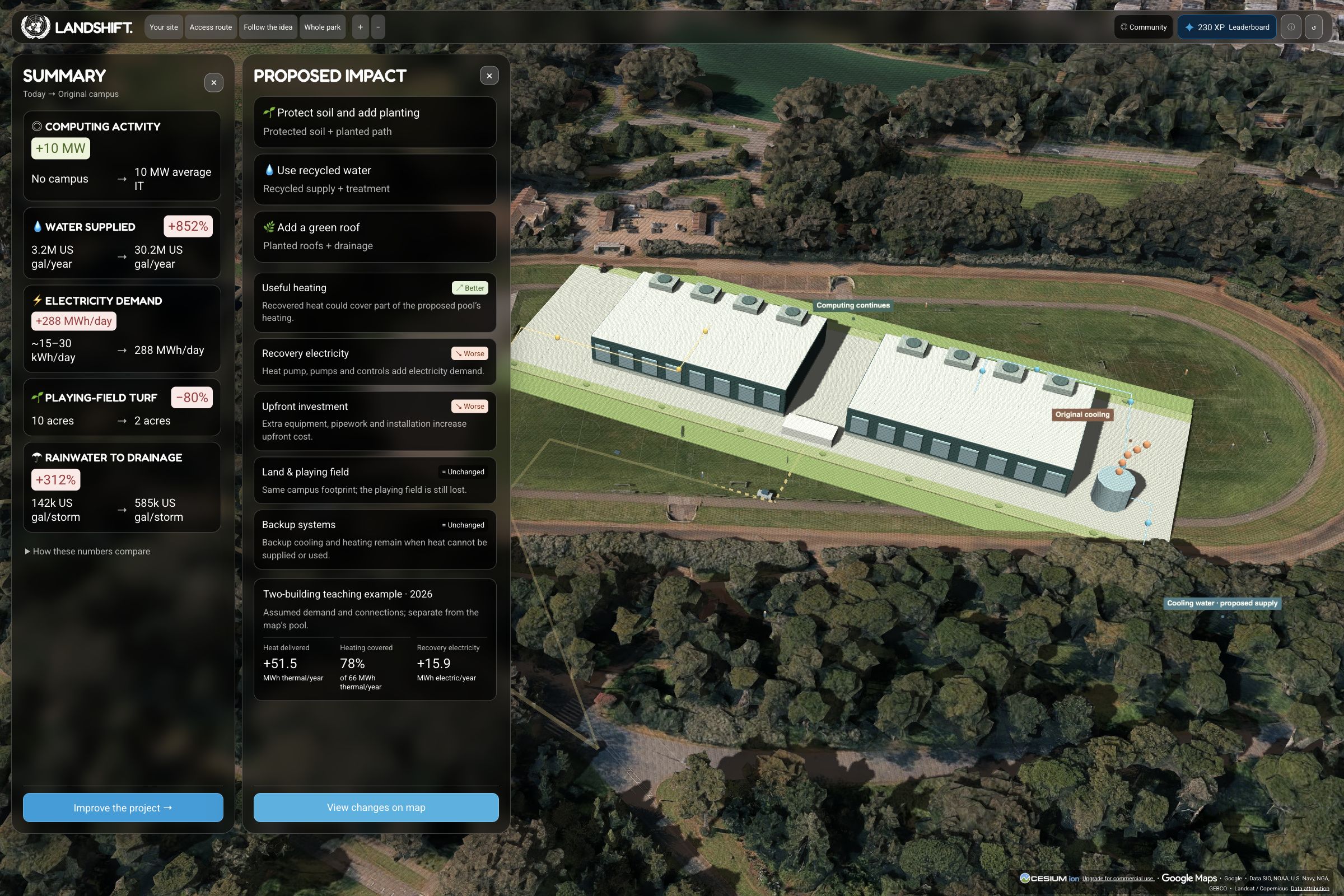
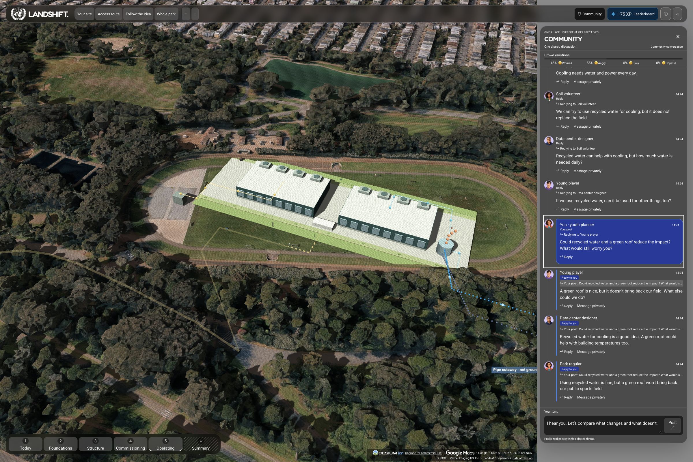
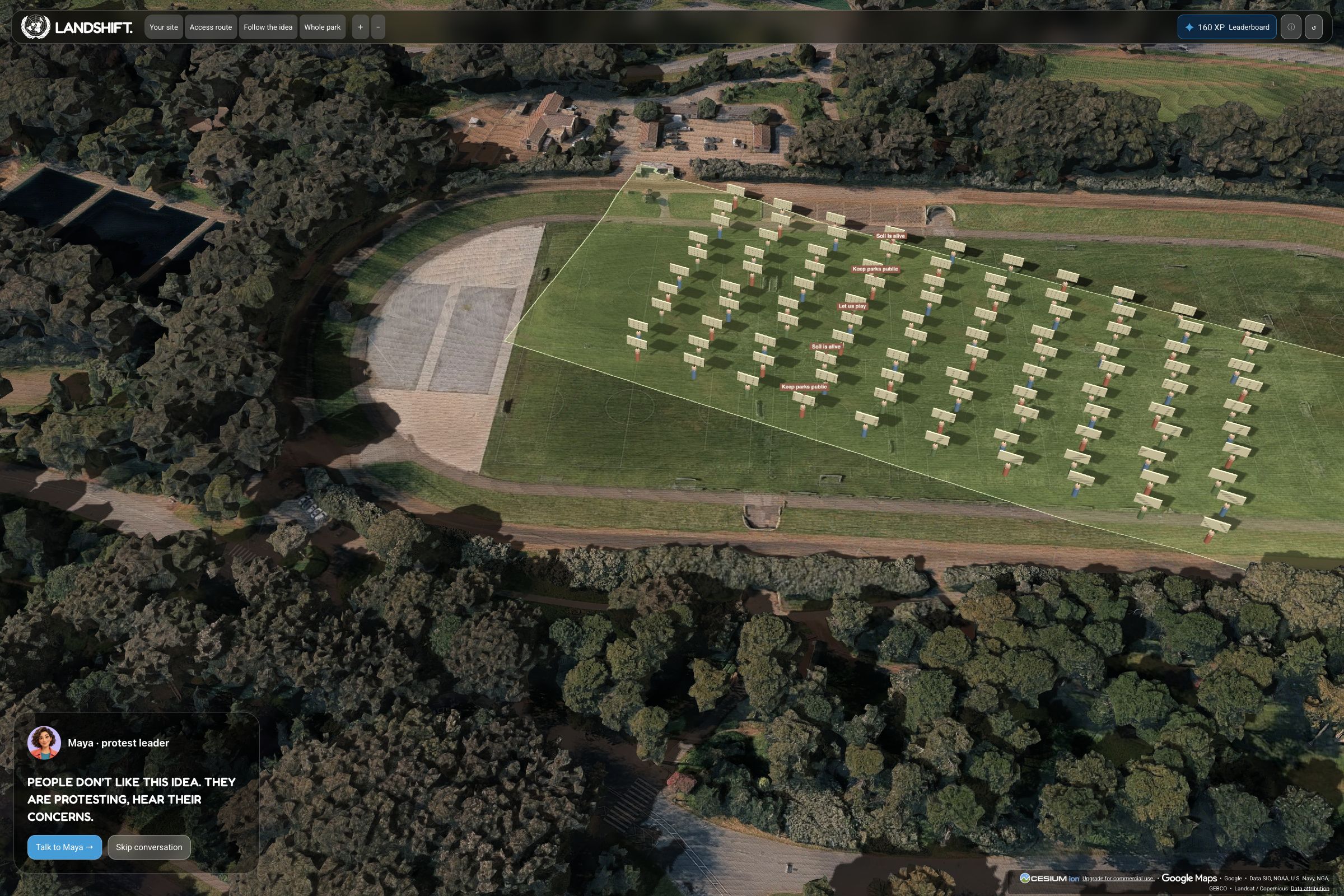
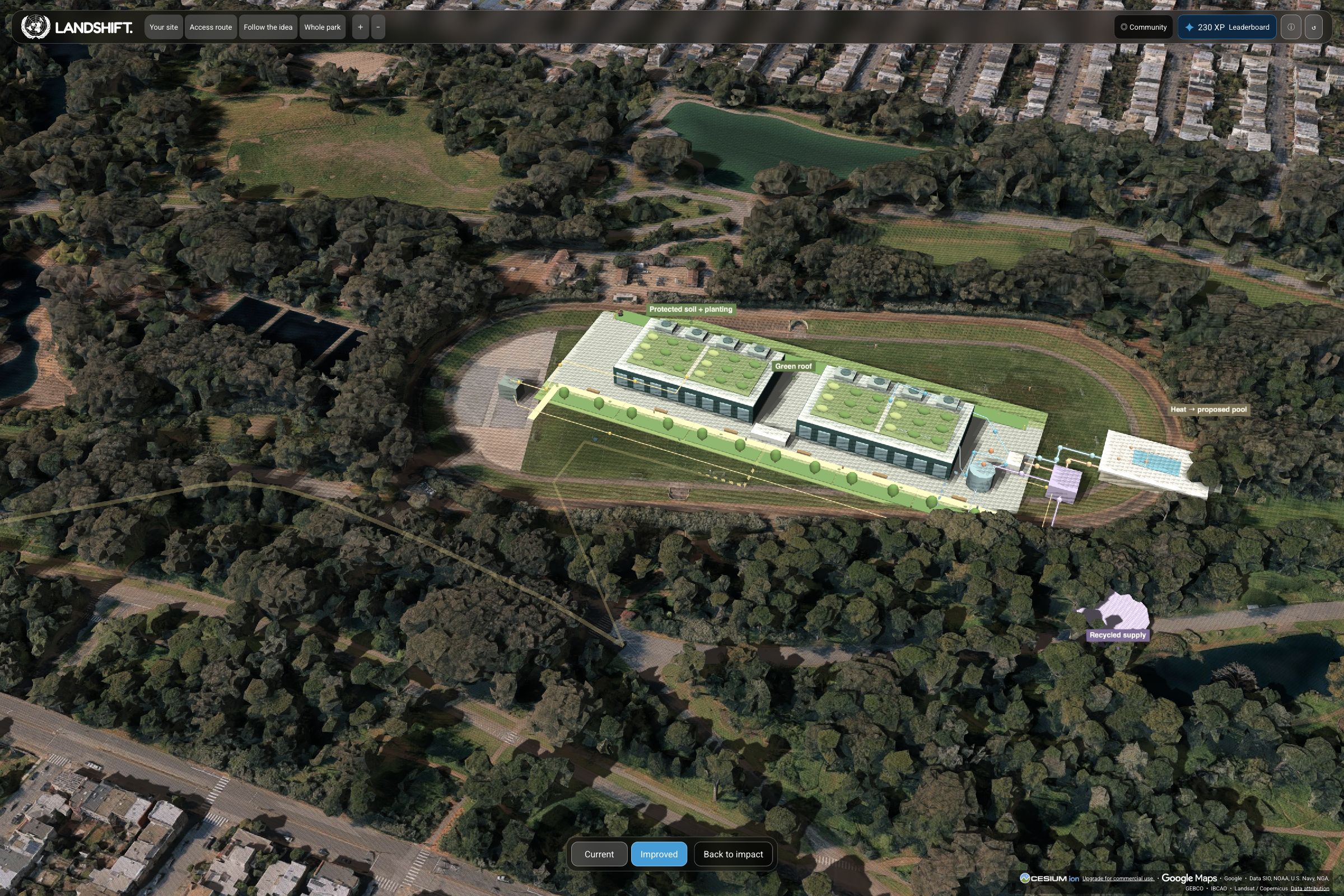
They follow a proposed development through construction and operation, question AI-powered fictional community characters, compare design alternatives, and contribute their own ideas.
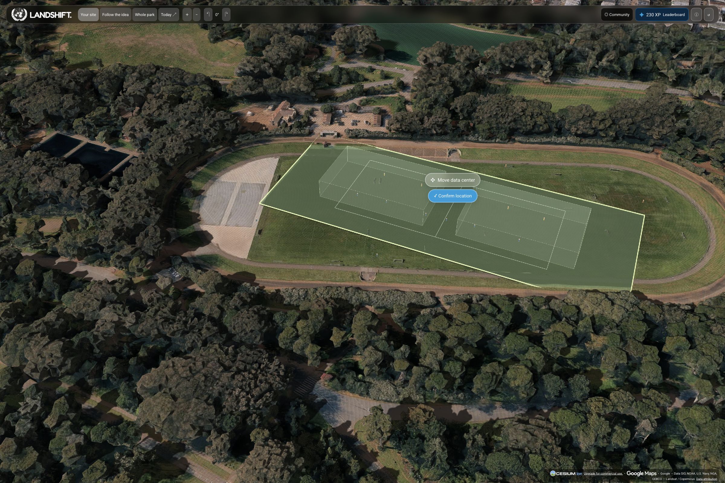
Our first playable scenario explores a hypothetical data center in San Francisco’s Golden Gate Park. It demonstrates a reusable learning loop: explore a place, understand consequences, hear different perspectives, and propose changes.
Flexible data, local detail
We designed LandShift to combine the flexibility of open data with the depth of project-specific information. Open geographic, weather, and environmental datasets provide a foundation that can be adapted to different locations. Available project plans, technical documents, and local research can enrich an individual scenario with more realistic detail.
The prototype combines public mapping data, NOAA weather records, and documented water and energy assumptions. New scenarios can incorporate relevant land-cover, climate, and ecosystem information.
This supports broader geographic coverage while preserving local detail.
How we built it
The browser experience uses TypeScript, Vite, and CesiumJS, with an optional Google Photorealistic 3D Tiles layer. Animated stages and visual overlays connect physical changes with environmental explanations.
A Node.js backend connects to Google Gemini through OpenRouter. Characters receive scenario context and distinct perspectives; prepared dialogue remains available without live AI.
Challenges and lessons
We had to reconcile sources with different dates, units, and coverage while keeping the experience approachable. Geographic observations, teaching assumptions, and AI dialogue remain distinct. Scenarios are educational, and some redesign benefits are visual concepts without calculated savings.
We learned that realistic maps need clear explanations and human perspectives. An improvement can address one concern while leaving another unresolved; understanding those trade-offs is central to the experience.
What’s next
Next, we want to add scenarios, simplify authoring, and test classroom activities with teenagers and educators.
We will assess whether learners understand connections, recognize trade-offs, and justify proposed changes. Our goal is a public-benefit tool that helps young people participate more confidently in local planning.
Built With
- cesium-ion
- cesiumjs
- css
- globe.gl
- google-gemini
- google-photorealistic-3d-tiles
- html
- node.js
- openrouter
- openstreetmap
- three.js
- turf.js
- typescript
- vercel
- vite

Log in or sign up for Devpost to join the conversation.