Inspiration
Emergencies such as natural disasters and accidents require fast rescue and medical support. We created JEEVAN-X to combine AI-powered rescue drones with an intelligent emergency healthcare network to help save lives.
What it does
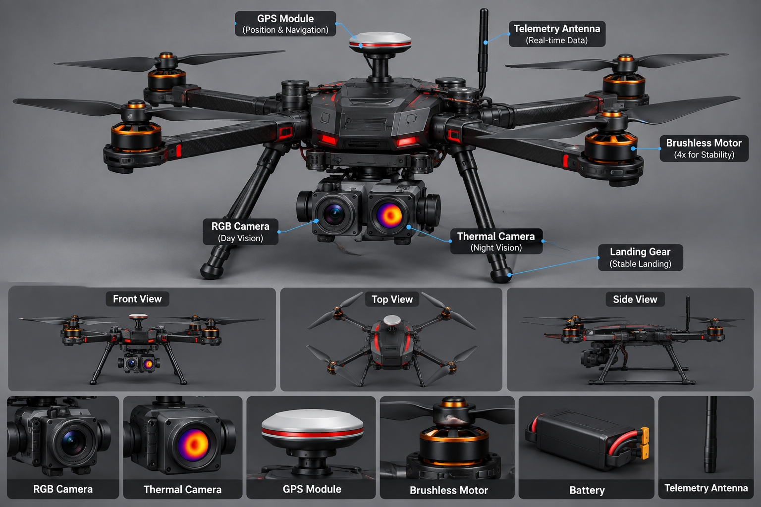
JEEVAN-X uses RGB and thermal imaging to help detect potential survivors. It shares GPS locations, supports ambulance dispatch, helps identify suitable hospitals, and enables real-time emergency coordination.
How we built it
Our proposed system combines drone technology, AI-based image detection, GPS tracking, a web dashboard, and emergency coordination features. The platform connects rescue teams, ambulances, and hospitals through a unified workflow.
Challenges we ran into
Key challenges include reducing false detections, identifying people in difficult environments, maintaining reliable communication, and coordinating multiple emergency services efficiently.
Accomplishments that we're proud of
We developed an integrated concept that connects aerial search and rescue with emergency medical response, bringing victim detection, location sharing, ambulance coordination, and hospital communication into one platform.
What we learned
We learned how AI, thermal imaging, GPS, web technologies, and emergency coordination can work together to address real-world problems. We also learned the importance of reliability, teamwork, and user-focused design.
What's next for JEEVAN-X
We plan to improve detection accuracy, integrate live drone feeds, develop a real-time emergency dashboard, and test ambulance and hospital coordination in simulated rescue scenarios.

Log in or sign up for Devpost to join the conversation.