Inspiration
Groundwater depletion is becoming a serious challenge across many parts of India. A significant portion of rainwater is lost as runoff instead of recharging aquifers, while many citizens lack the technical knowledge to design suitable rooftop rainwater harvesting (RTRWH) and artificial recharge (AR) systems. Our goal was to create a simple, data-driven platform that makes groundwater conservation accessible to everyone.
What it does
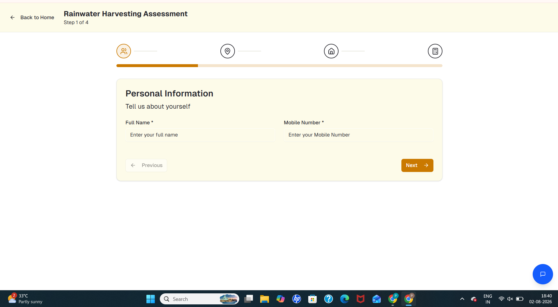
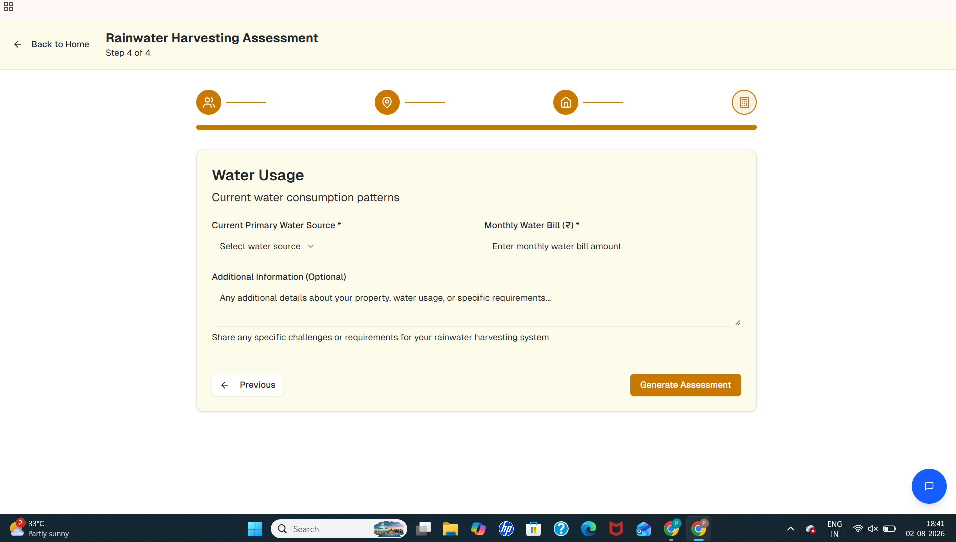
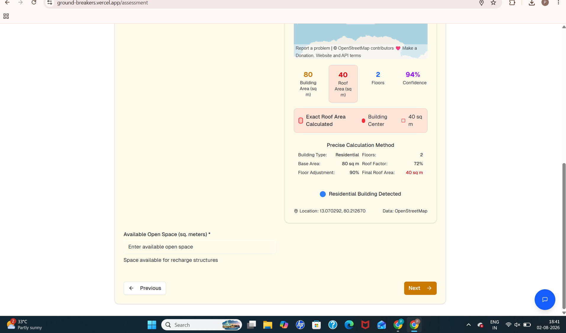
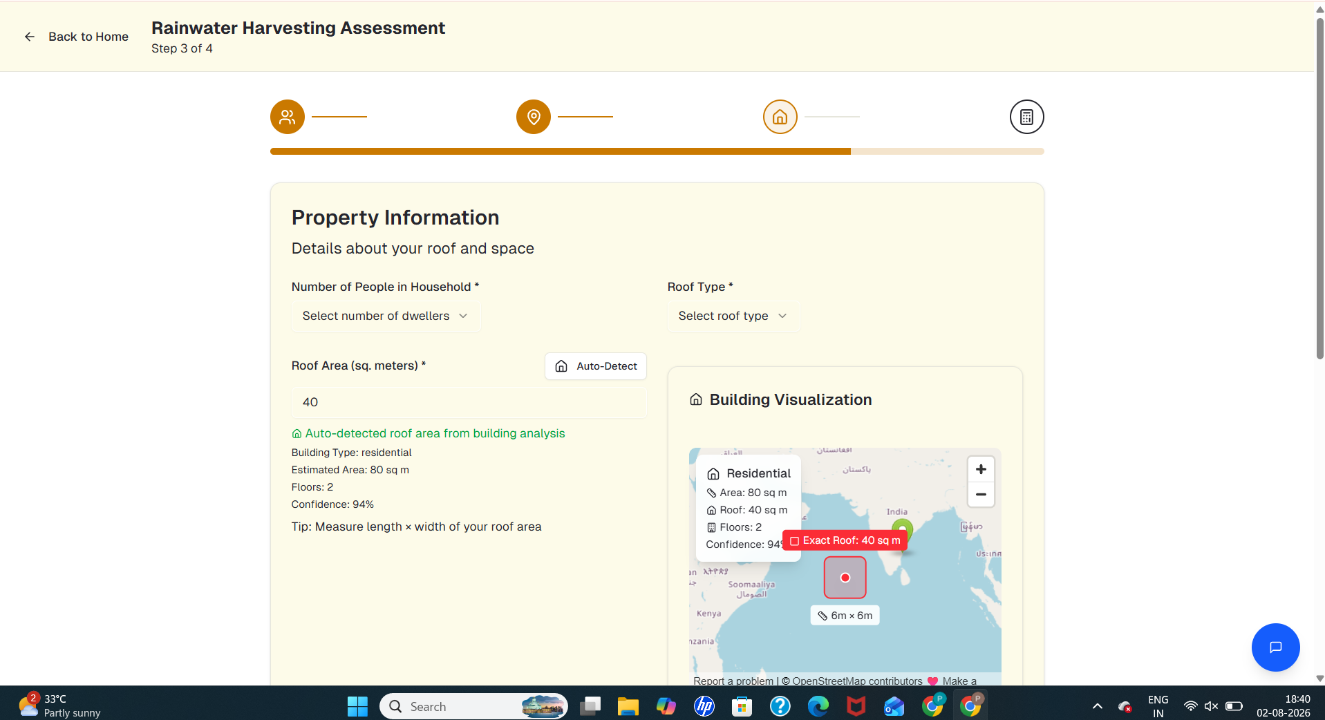
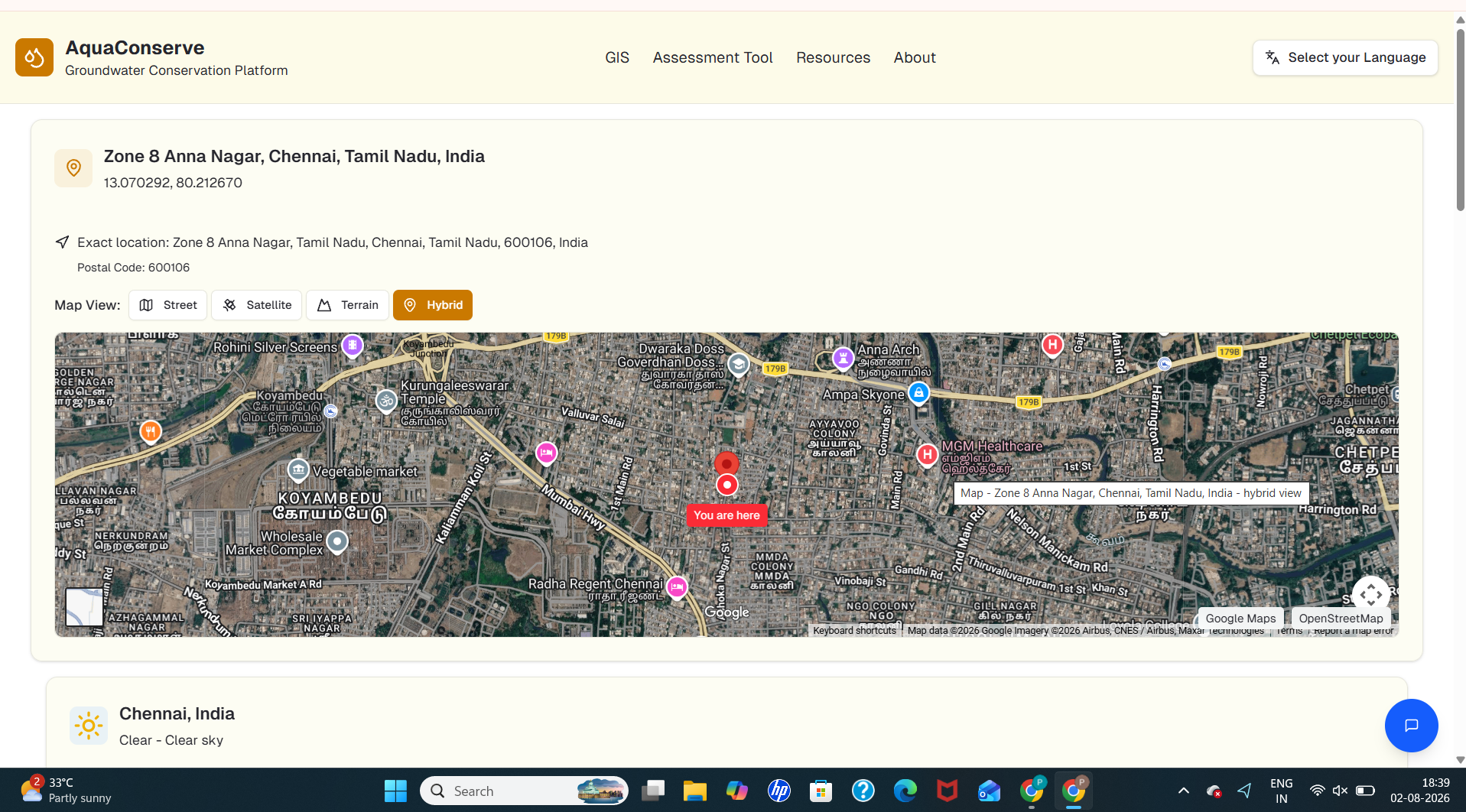
GroundBreakers is an AI-powered web and mobile application that estimates rooftop rainwater harvesting and artificial recharge potential for a given location. By combining GIS datasets, rainfall information, geological data, and CGWB guidelines, the system recommends suitable recharge structures such as pits, trenches, and shafts. It also estimates water harvesting potential, construction dimensions, costs, and expected environmental benefits while generating easy-to-understand reports.
How we built it
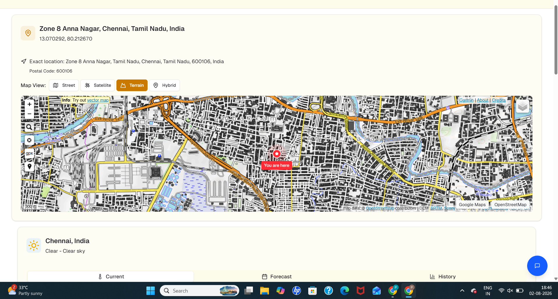
The application was developed using React for the frontend and Python, Express.js, and NestJS for the backend. GIS information is integrated through OpenStreetMap and ISRO Bhuvan datasets. PostgreSQL and MongoDB are used for data management. AI-powered recommendations are generated using LangChain, Hugging Face models, Llama, and Model Context Protocol (MCP). Additional features include multilingual support, PDF report generation, and cost-benefit analysis.
Challenges we ran into
The biggest challenges were integrating multiple GIS and geological datasets, ensuring recommendation accuracy across different locations, implementing multilingual support, and validating recharge designs according to CGWB standards while maintaining a smooth user experience.
Accomplishments that we're proud of
- AI-based recommendation of suitable recharge structures.
- Automatic rooftop rainwater harvesting estimation.
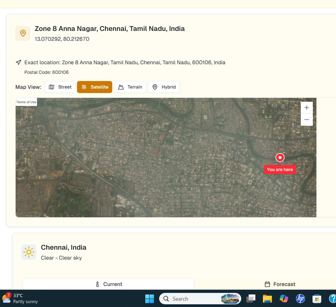
- GIS-based location analysis.
- Cost-benefit and environmental impact analysis.
- Multilingual support for wider accessibility.
- Automatic report generation for users.
What we learned
This project strengthened our understanding of GIS technologies, groundwater conservation, AI-assisted decision support, geospatial data integration, and the importance of combining environmental science with modern software engineering.
What's next
We plan to integrate real-time weather forecasts, IoT sensor data, satellite imagery, government water databases, and advanced predictive analytics to improve recommendation accuracy. Future versions will also support more regional languages and provide personalized groundwater conservation insights for both citizens and government agencies.
Built With
- ai
- bhuvan
- chart.js
- d3.js
- express.js
- gis
- hugging
- i18next
- isro
- javascript
- langchain
- llama
- machine
- mcp
- mongodb
- nestjs
- next.js
- openstreetmap
- pinecone
- postgresql
- python
- react
- rest
- typescript

Log in or sign up for Devpost to join the conversation.