


Inspiration:
End users of flood forecast could gain more out of the system, if GloFAS forecast could be combine with information of critrical infrastructure on the ground.
What it does
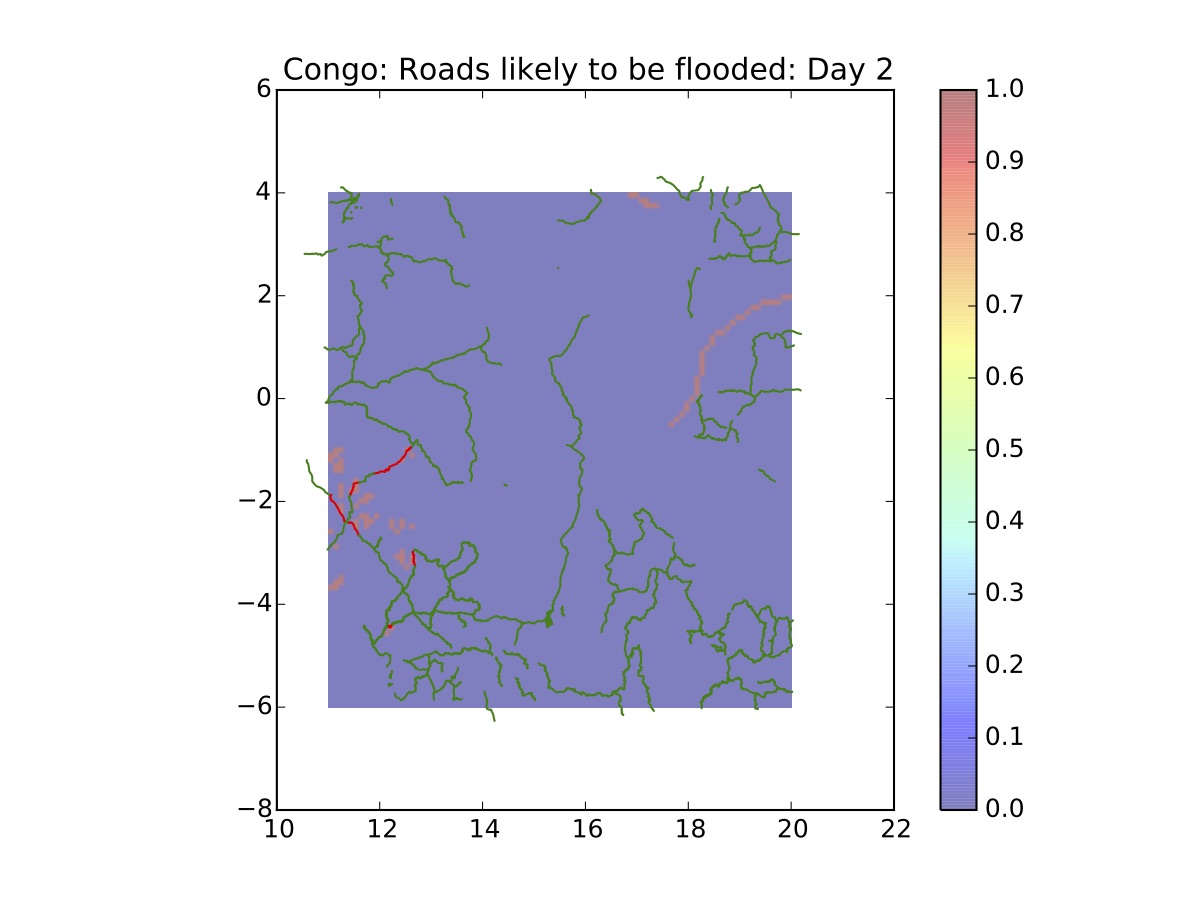
It link discharge flood forecast exceedances of severity thresholds (e.g. for the 5 yr return period) for the user defined area with external layers such us roads, hospitals, power supply stations etc. The result provides the affected infrastructure within the flood areas for different forecasts lead-times.
How we built it
We exploited Python to create a script able to retrive GloFAS data -through WCS- together with external datasets (i.e OpenStreetMap) and run spatial comparisons between them by obtaining information about likely flooded features which may be of interest for the end user.
Challenges we ran into
Confusion with latitudes and longitudes were rampant! We kept getting the coordinates wrong and as a result, could not progress beyond Day 5 forcast! However with a help from group of experts, the problem looks like it was resolved!
Accomplishments that we're proud of
Test new ways on GloFAS information delivery We came out with a new acronym: Global Flood Awareness Queries (GloFAQ)
What we learned
It is difficult to implement things on a short time, but was great to work with different people/background towards the same aim and vision.
What's next for GloFAQ:
Build a Graphical User Interface, Allow dynamic queries responses, make queries compatiple with other kind of data,
Built With
- api
- glofas
- openstreetmap
- python
- wcs


Log in or sign up for Devpost to join the conversation.