Inspiration
Communities facing floods, wildfires, earthquakes, severe weather, and infrastructure disruption need clear, timely information—not disconnected dashboards and delayed updates. Global Human Resilience Operating System (GHROS) was created to bring live hazard data, location intelligence, emergency resources, and decision support into one accessible platform.
What it does
GHROS is a real-time disaster intelligence and emergency coordination platform.
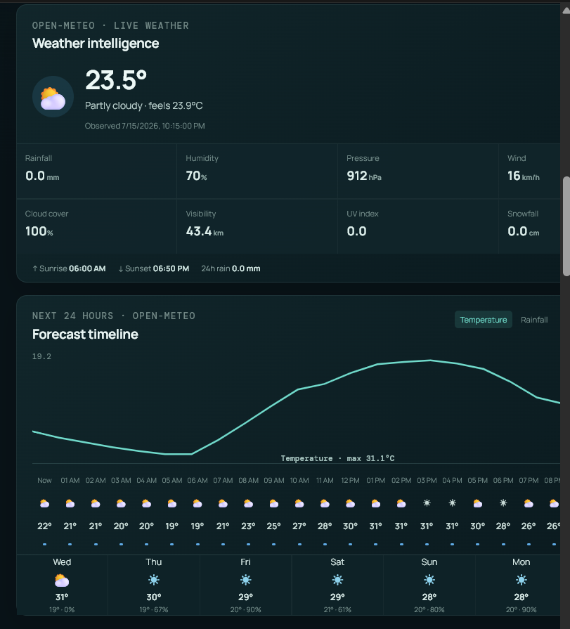
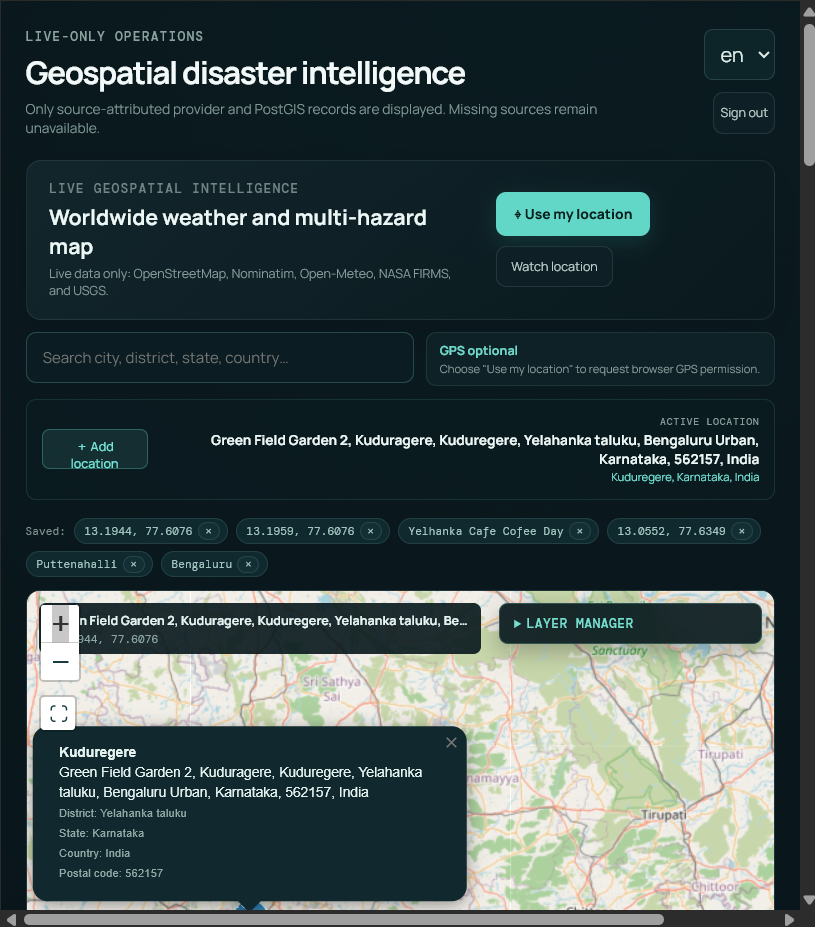
Users can search any location worldwide or use live GPS to view:
- Live weather, hourly forecasts, and daily forecasts
- Recent USGS earthquake events
- NASA FIRMS wildfire hotspots
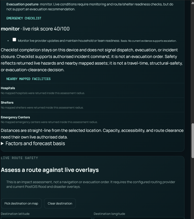
- Hospitals, shelters, roads, bridges, and critical infrastructure
- Disaster overlays, flood zones, citizen reports, and risk areas
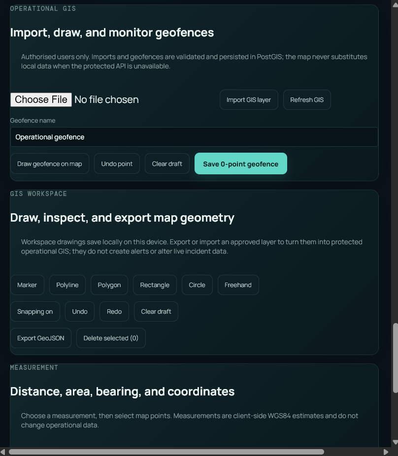
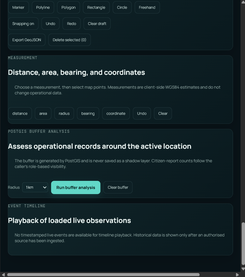
- GIS tools for drawing, measurement, buffer analysis, and route-safety analysis
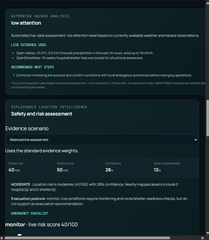
- AI-assisted hazard summaries with evidence and uncertainty
- Emergency checklists, operational reports, and incident-management workflows
The platform combines live geospatial data into an interactive map and helps emergency teams understand nearby risks, available resources, and recommended actions.
How we built it
GHROS uses a React and TypeScript frontend with Leaflet and OpenStreetMap for interactive mapping. The backend is built with FastAPI and integrates PostgreSQL, PostGIS, Supabase Storage, Firebase Authentication, Redis, and Celery workers.
Live data is collected from official and open services including Open-Meteo, Nominatim, USGS Earthquake feeds, NASA FIRMS, OpenStreetMap, Overpass, and Sentinel satellite catalog services. PostGIS powers spatial search, nearby-resource discovery, disaster overlays, and GIS buffer analysis.
Challenges we faced
The main challenges were normalizing data from multiple live providers, preventing duplicate events, handling provider outages safely, protecting credentials, and keeping geospatial queries responsive.
We addressed these with validation, retry and timeout handling, caching, spatial indexes, background workers, health checks, structured monitoring, row-level database security, and graceful fallbacks whenever a provider is unavailable.
What we learned
Building GHROS showed us that disaster intelligence depends on more than displaying points on a map. It requires trustworthy data sources, transparent uncertainty, reliable operations, secure access control, and a design that keeps working when individual providers or networks fail.
Our goal is to make real-time resilience information more practical for citizens, responders, and decision-makers.
Built With
- api
- authentication
- celery
- earthquake
- fastapi
- firebase
- firms
- leaflet.js
- nasa
- nominatim
- open-meteo
- openstreetmap
- overpass
- postgis
- postgresql
- python
- react
- redis
- supabase
- typescript
- usgs
- vite

Log in or sign up for Devpost to join the conversation.