-
-

1
-

2
-

3
-

4
-
flash


Inspiration
The number of pilgrims increases every year which leads to high pressure on the network due to the presence of a large number of pilgrims in the same site. As a result, the pilgrims will lose the communication with each other. Where they rely on communication in request of services, get help in the emergency situation, inquire about anything they want and communicate with each other.
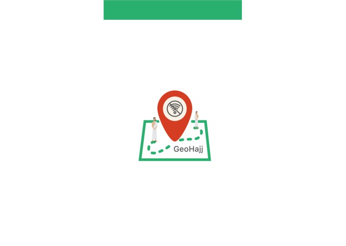
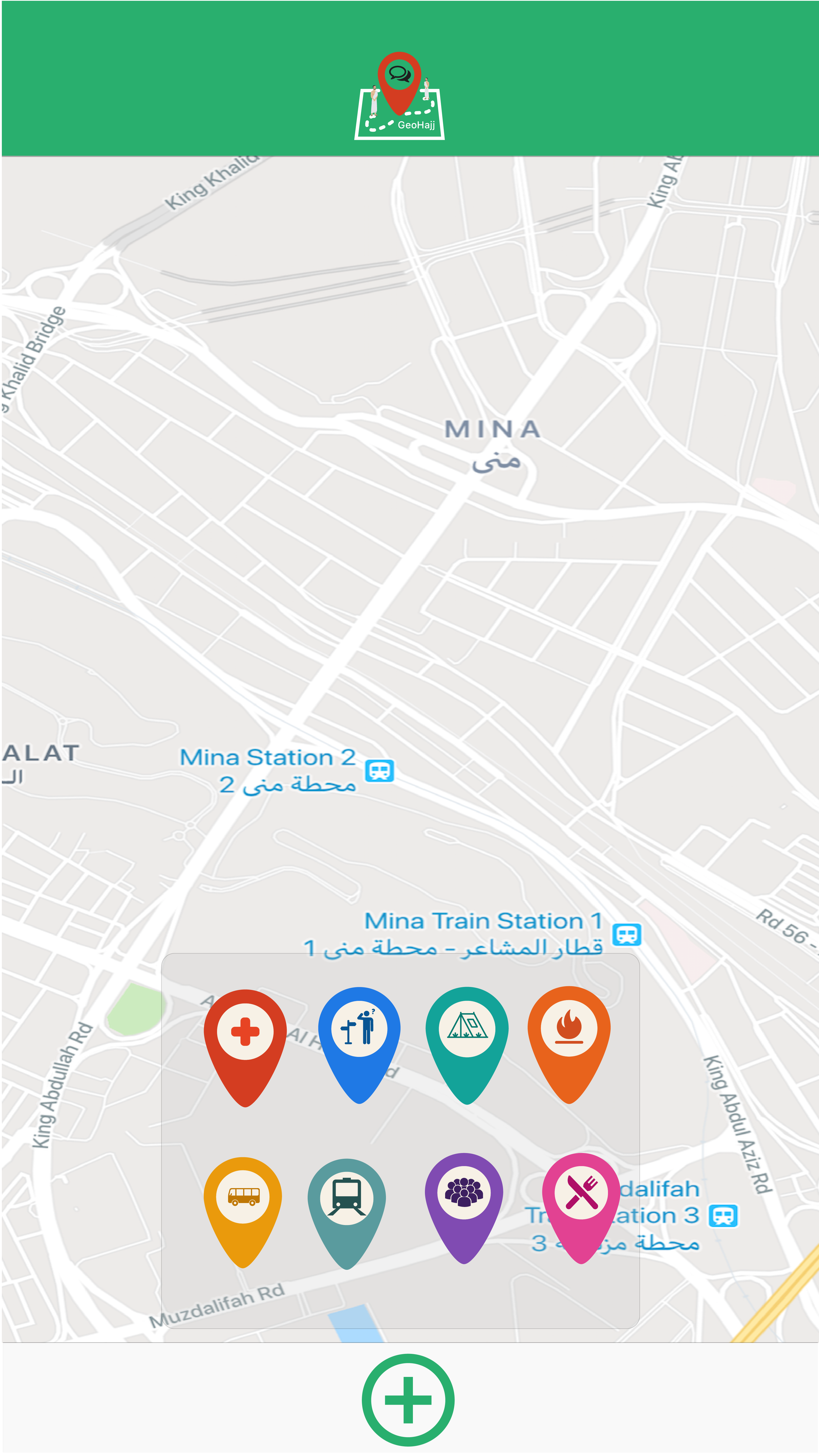
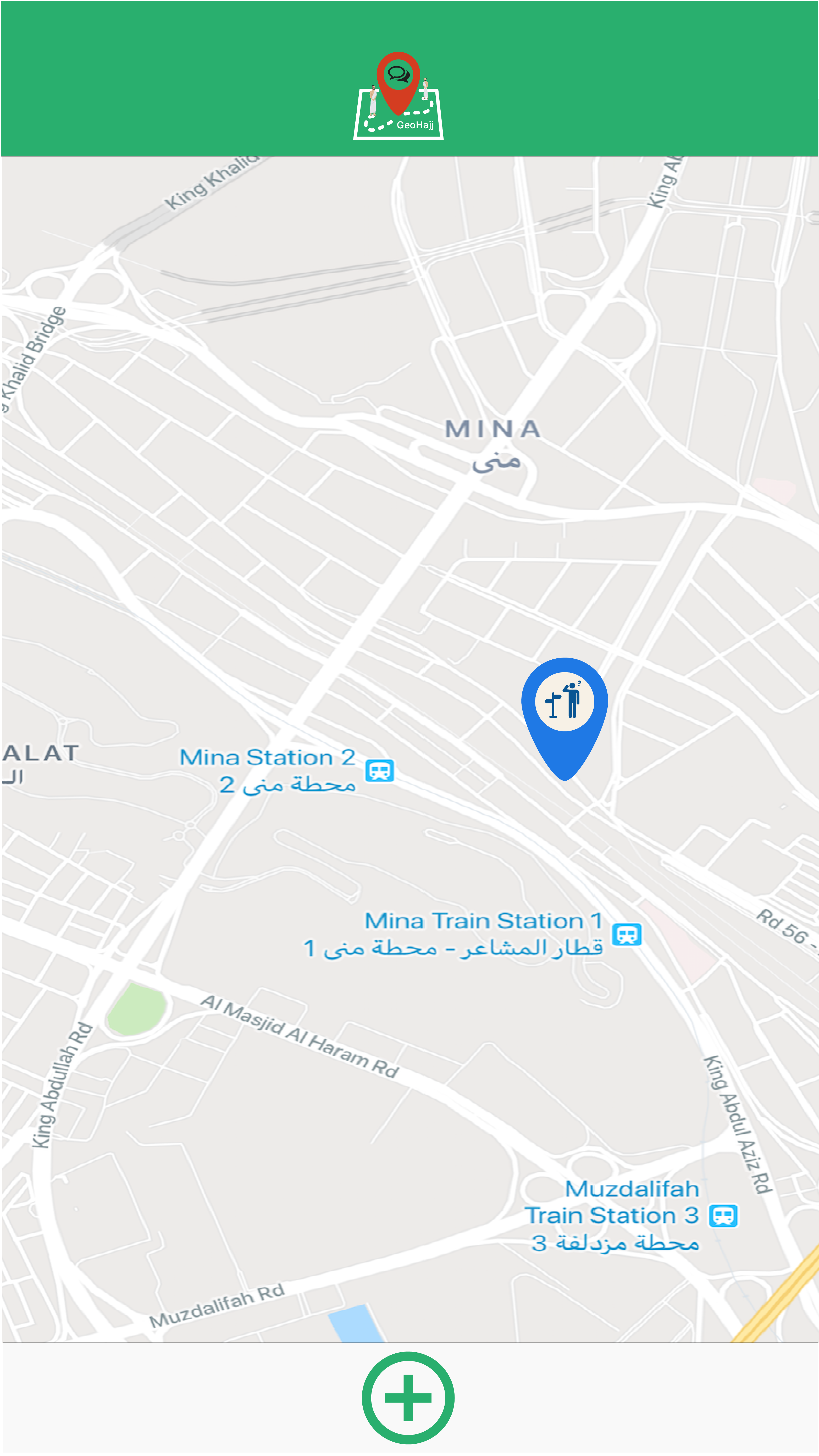
What it does
It is an offline map-based platform drawn from crowdsourced data. It allows pilgrims and organizations to tag their current location with a message & icon to share information about different topics in real time. The information will be displayed on an interactive map, which is tagged with various icons.
How we built it
the team use different programs to develop the solution such as Android studio, Nearby Connections API, Java, Adobe illustrator, invisionapp, and vyond.
Challenges we ran into
- We can not use offline map due to the lack of resources and the limation of time.
- We faced a challenge during building the mesh network, where the devices can see each other but when we make communicate give errors.
Accomplishments that we're proud of
We built a mesh network in 6 hours.
What we learned
- Develop a minimum viable product.
- The importance of thinking about crafting plan B.
What's next for GeoHajj M-031
- Enhance the product by using an offline map.
- Read QR code of pilgrims bracelet
- Build admin application
Built With
- adobe-illustrator
- android-studio
- invisionapp
- java
- nearby-connections-api
- vyond
- xml


Log in or sign up for Devpost to join the conversation.