-
-
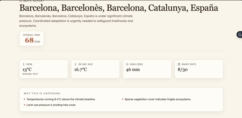
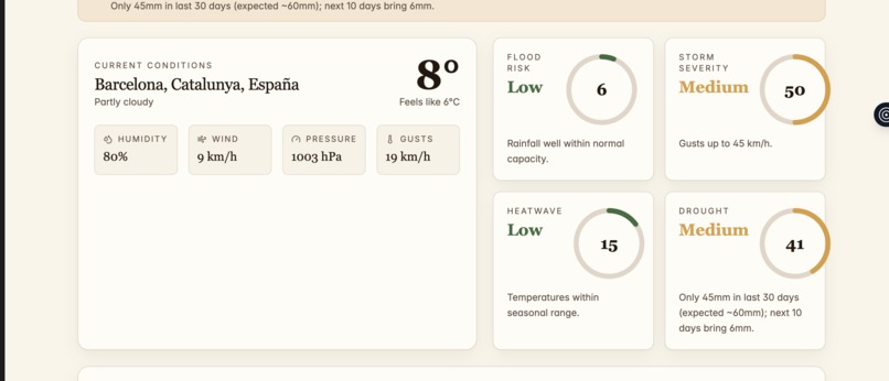
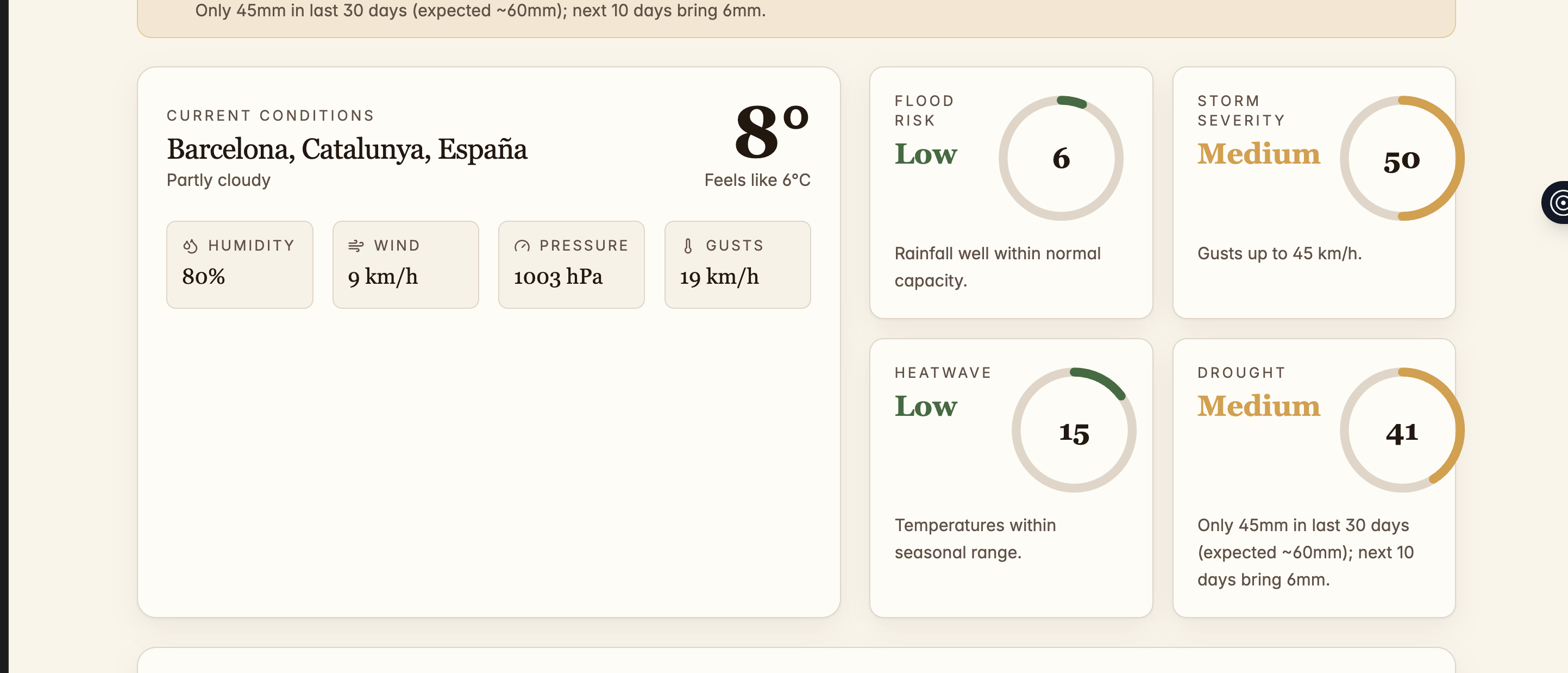
Climatic Data of a place
-
Climatic Data of a place
-
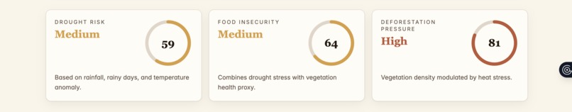
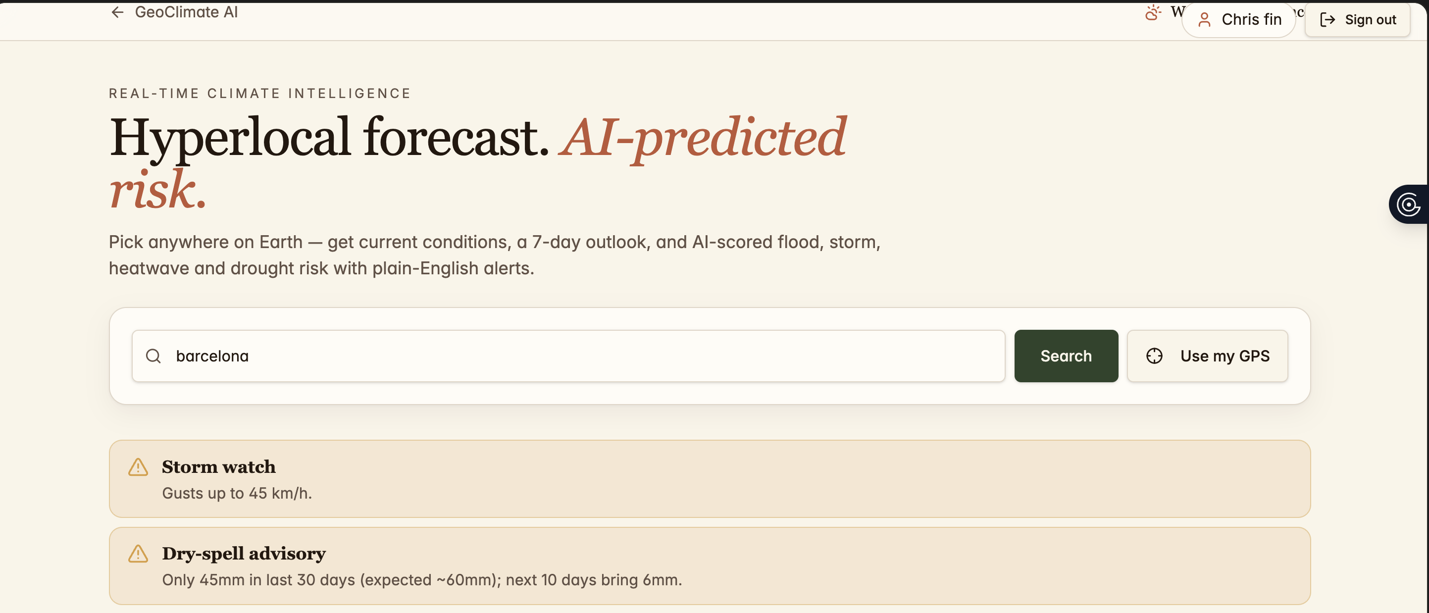
Home page
-
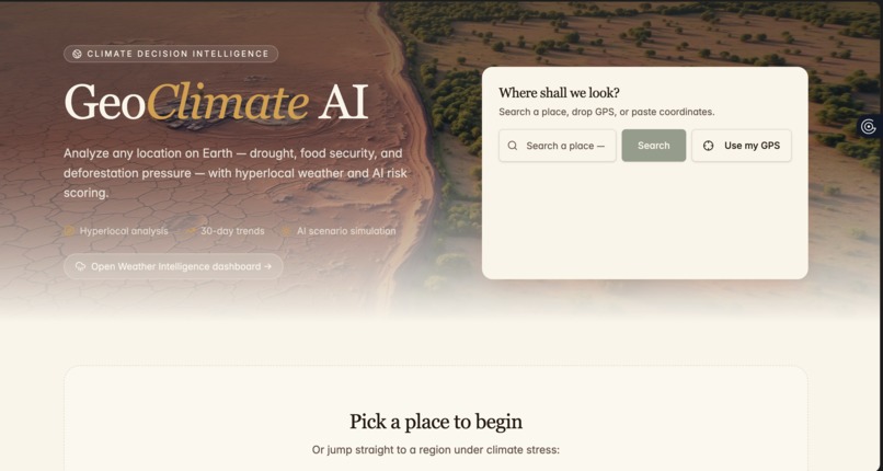
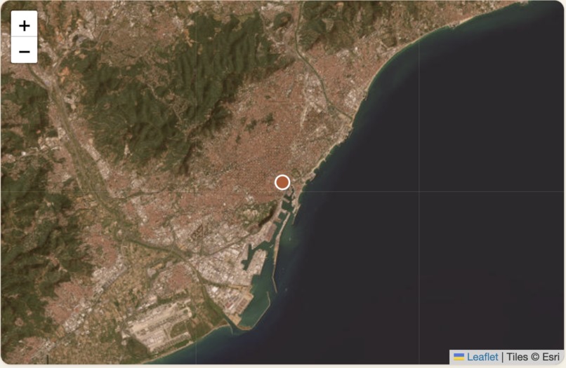
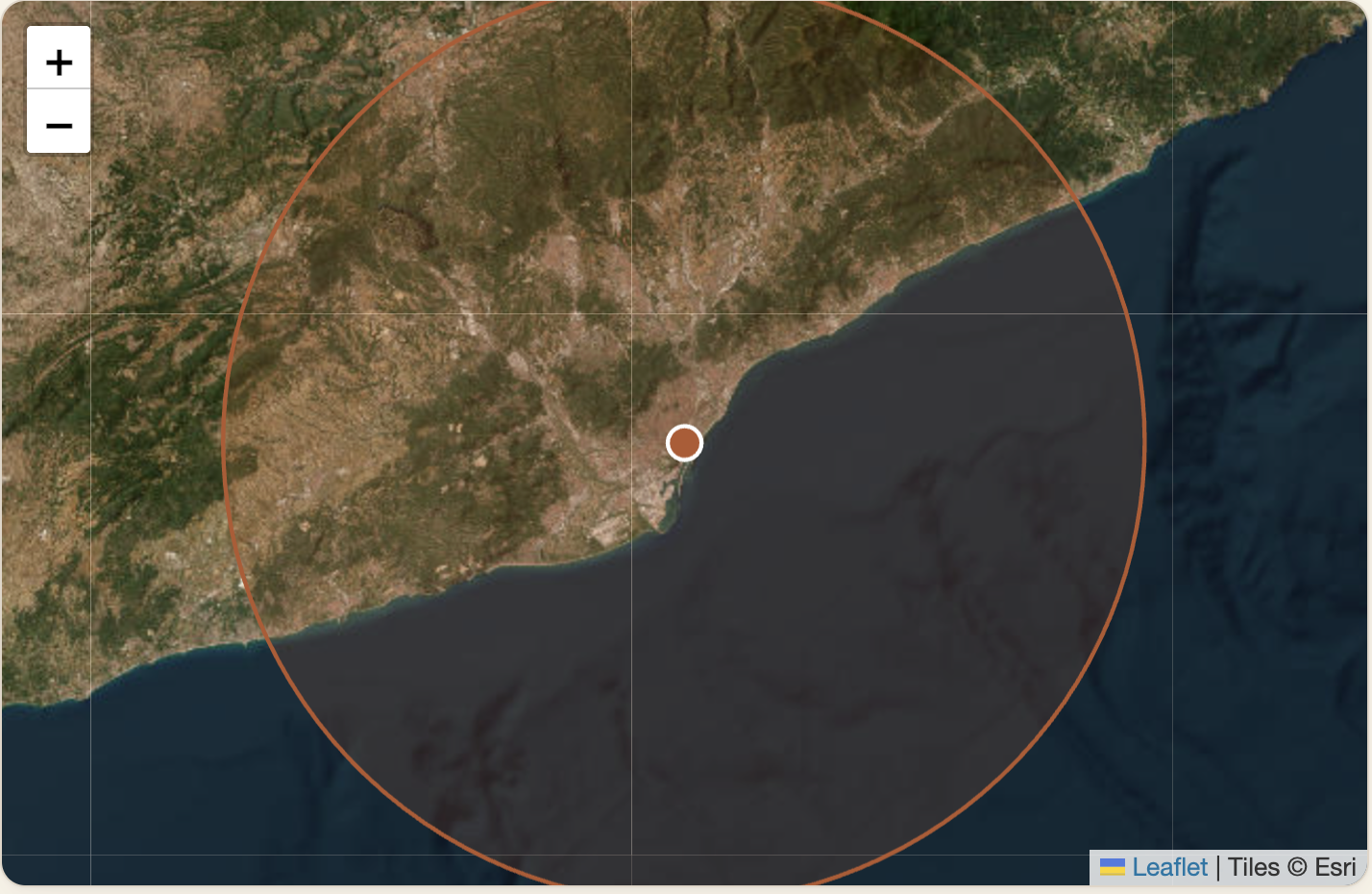
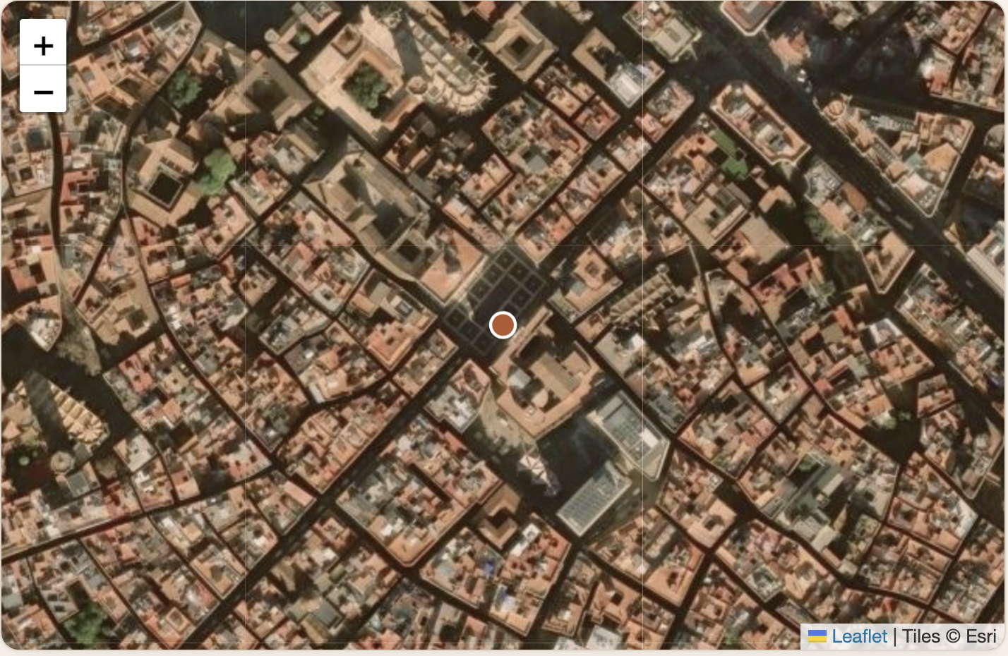
Satellite image of a place
-
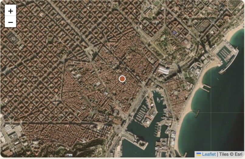
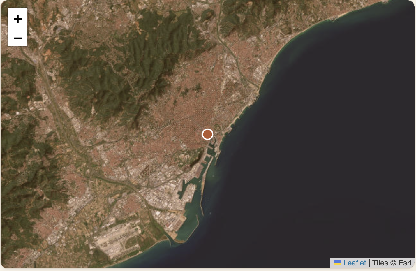
Zoom in of the Satellite
-
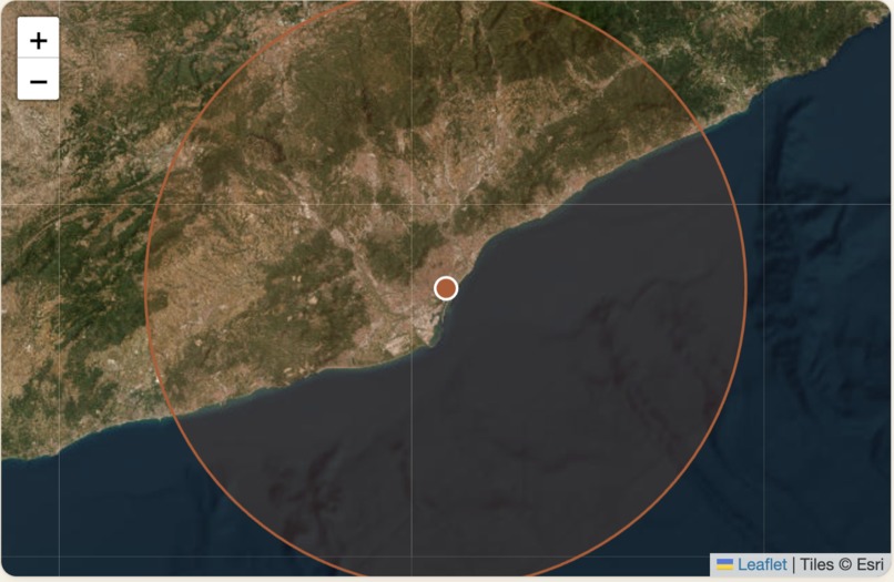
Zoom in of the Satellite
-
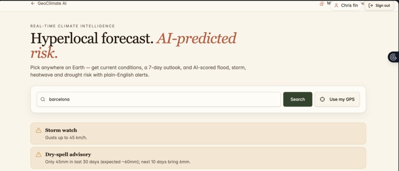
AI-predicting risk based on the current information
-

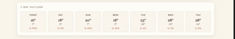
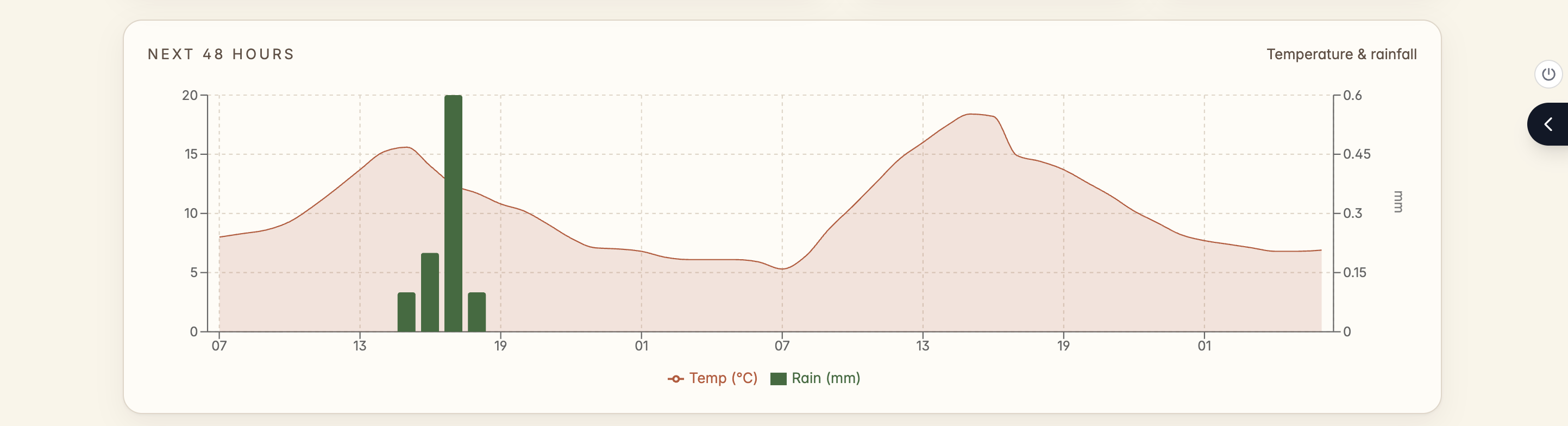
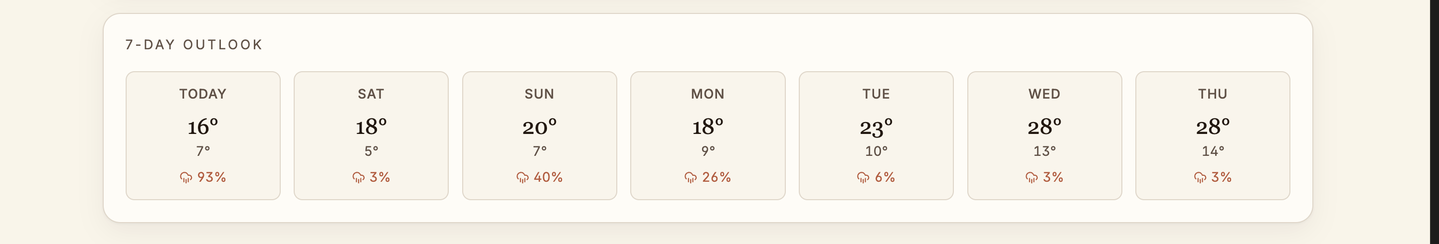
Predicted Temperature and rainfall data of a place
-
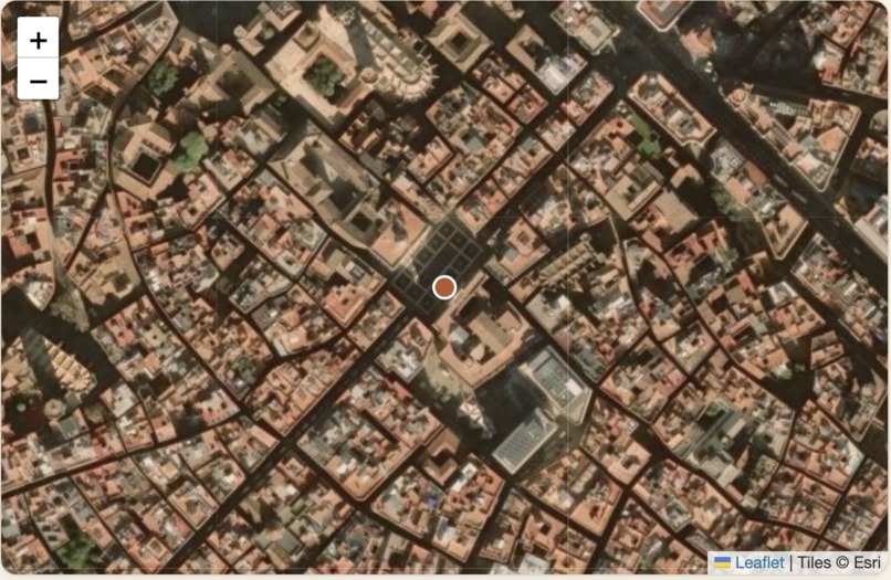
Zoom in of the Satellite
-
-
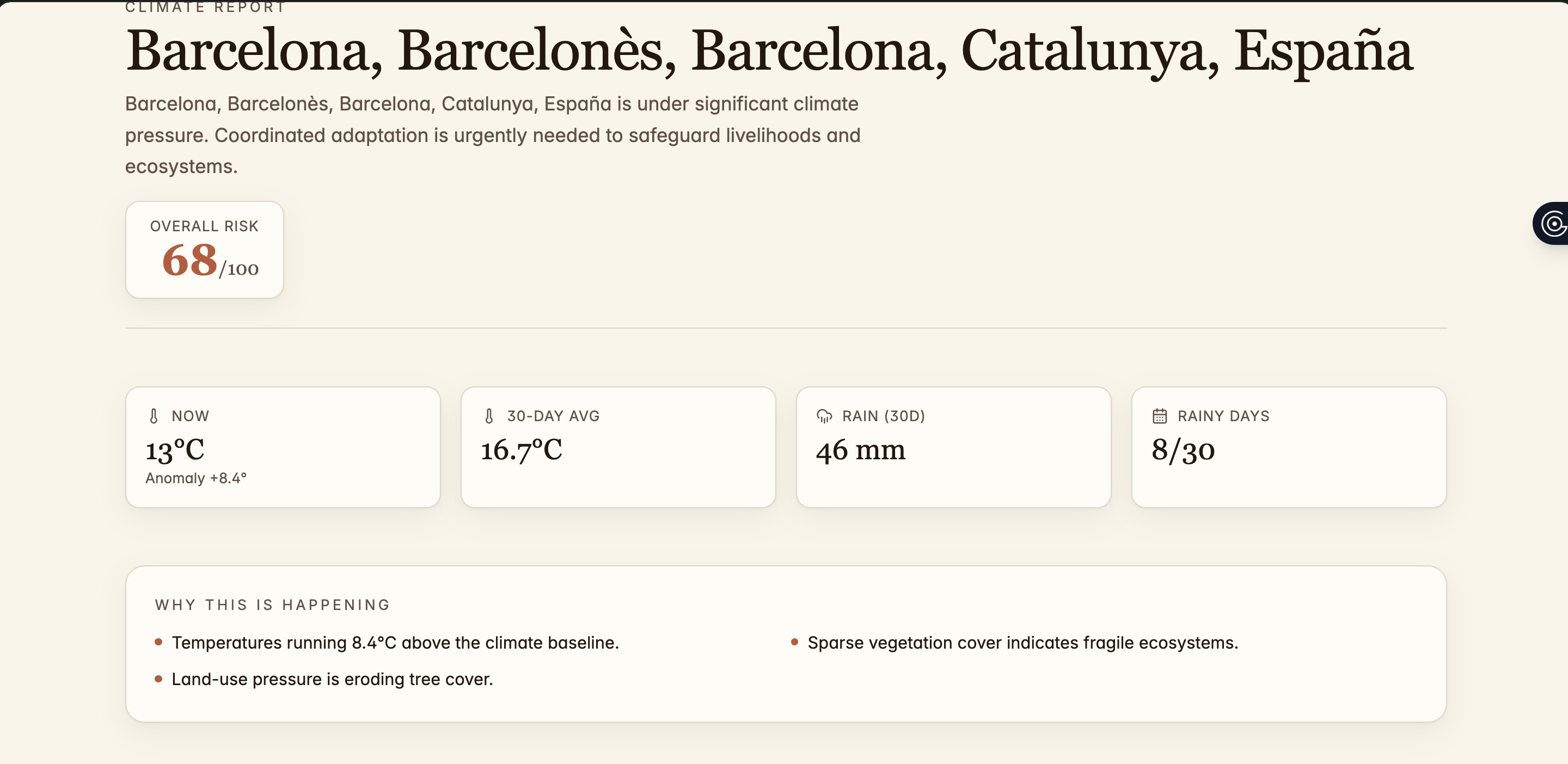
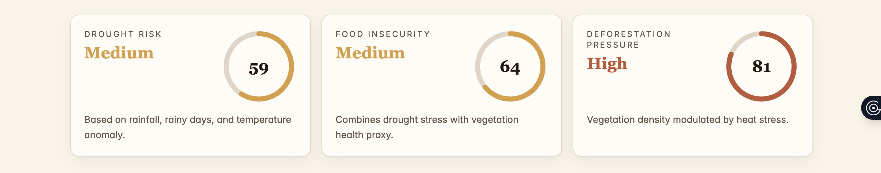
AI predicted risk of a place


Inspiration
Climate change is no longer a distant problem, it is a real-time threat that is affecting vulnerable communities with floods, heatwaves, and unpredictable rainfall. We were inspired by the gap between raw weather data and actionable insight. While forecasts exist, they are often too general or too technical for everyday users who need clear, immediate understanding of risk. We wanted to build something that turns weather data into life-saving intelligence.
What it does
GeoClimate AI is a hyperlocal weather intelligence platform that combines real-time weather data with AI-driven prediction models to assess environmental risk. It does so by 1: providing hyperlocal forecast( down to city or coordinate level) 2: Showing the current environmental conditions of a specific place and predicting disaster such as heatwaves and storms using AI based on the geoclimatic trends over time 3: Converting raw data into interpratable risk score.
- Displaying insights through an interactive dashboard with visual alerts ## How we built it We built GeoClimate AI using a modular architecture:
Frontend: Interactive dashboard for real-time visualization. This was done by the help of AI agents Backend: Weather data ingestion layer using external APIs ML Engine: Lightweight predictive model (logistic regression / decision tree baseline) Risk Layer: Converts predictions into categorical alerts(Low/ Medium/ high/ critical) Additionally, we intergrated the weather APIs to fetch live methodological data and procesed it into structured features of the model.The system is designed to be extensible so that more advanced models (e.g., LSTMs or transformer-based time-series models) can be added later.
Challenges we ran into
Data inconsistency was a major challenge where the weather APIs often return incomplete or noisy datasets. Additionally, translating he raw methodological data into meaningful ML inputs was difficult.
Accomplishments that we're proud of
1:Built an end-to-end system that goes from raw weather data to AI prediction to user insight 2:Successfully implemented a working risk scoring system that generalizes across locations 3:Designed a clean, intuitive dashboard that makes complex data understandable instantly
What we learned
What we learnt was that the biggest challenge in environmental AI is not just prediction. It is interpretation. Turning complec numerical outputs into meaninglful, human understandable insights is just as important as the model accuracy. Experiences we gained were
1:Time series feature engineering 2:API intergration for real world data pipelines 3Balancing technical depth with user accessibility.
What's next for GeoClimate AI
Next we plan to expand the GeoClimate AI inti a full scale climate intelligence system by 1: intergrating the satelite and radar data for higher accuracy
- Upgrade to deep learning models for temporal forecasting 3.Build community level disaster reporting features


Log in or sign up for Devpost to join the conversation.