-
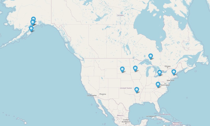
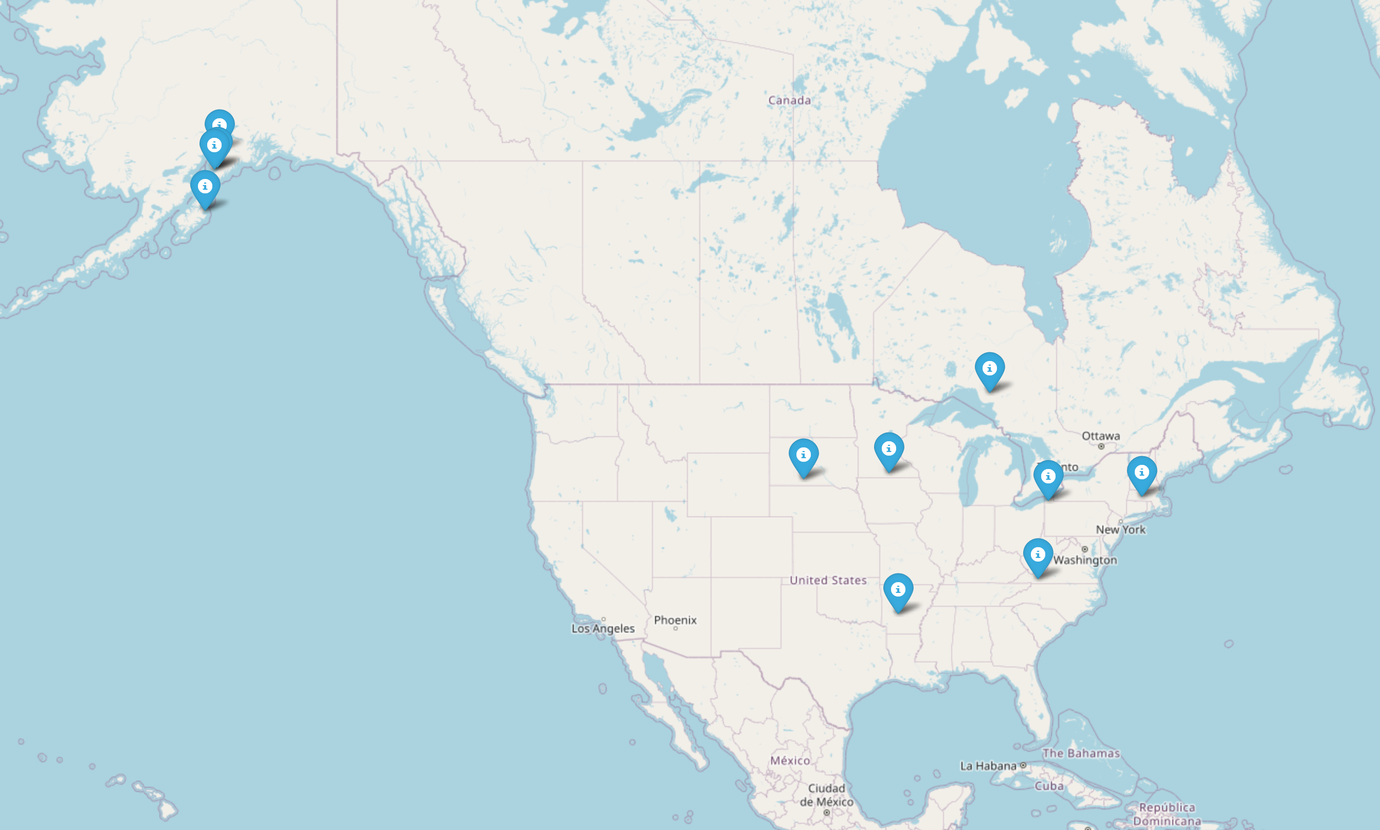
OpenStreetMap that adapts to show data points relevant to inputs added by user
-
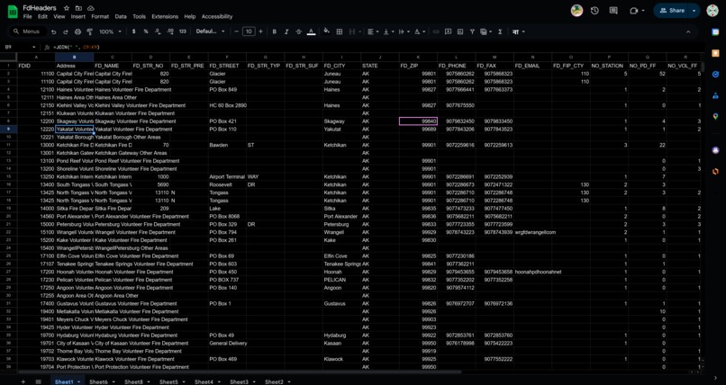
Dataset in the backend showing historical trends and address data
-

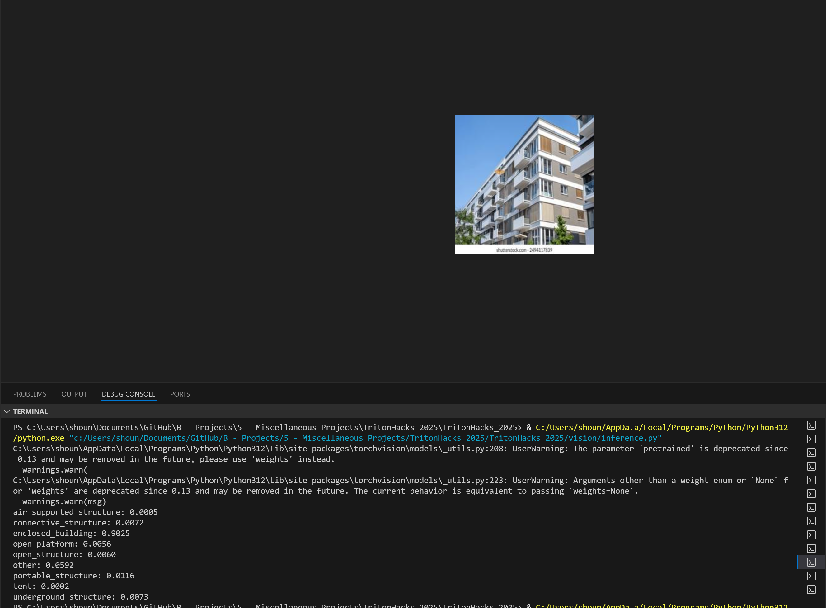
Computer vision model predicting the correct building type with >90% confidence
-
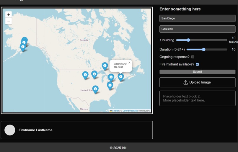
Demonstration of our frontend and data input

Inspiration
Many solutions currently exist for providing firefighters with wildfire data in the field through maps based on current atmospheric data. However, there existed a gap with predictions that could be made without knowing more about the fire on site.
What it does
Our FireSite takes firefighter input and uses previous fire incident data to predict what hazards may be present and events may occur while out in the field. The computer vision component will allow the firefighters to focus on managing the situation at hand while our algorithm first identifies the building type and other relevant features to then produce advice for fighting the fire.
How we built it
Software used in the project
- React.js framework for the frontend of the website
- Components that upload inputs from the user to a .csv file
- Go used to analyze and sort very large government datasets
- Python (DuckDuckGo API) used to perform data scraping for thousands of images
- Python (PyTorch, TorchVision, ResNet-50 model) used to train classification model for structure type
- Python (OpenAI API) used to extract information from user text input to classify emergency
- Go used to find patterns in historical data relevant to current data
- Python (OpenSourceMap) used to plot historical and current data
- HTML, JavaScript used to embed map into website ### Main steps of the process (many of which happened concurrently)
- Creating a React.js project and working on the frontend based on a hand-drawn mockup
- Finding and reading through large government reports and datasets (such as the National Fire Incident Reporting System)
- Choosing metrics from the government data to train models on
- Scraping thousands of images of various structures and then training a model based on it ## Challenges we ran into
- Rate limits for free APIs, such as GeoPy, which limits us to one address-to-coordinate conversion per second (would take hours to process our dataset)
- Meshing different software and frameworks (e.g. using JavaScript to take user input and run Python code)
- One of our members got sick on Saturday evening so we had to continue our ambitious plans without 25% of our capacity ## Accomplishments that we're proud of
- A complete frontend design that successfully takes in and stores user input
- A custom-trained computer vision model that is over 90% accurate in our test cases to predict building type for first responder data lookup
- Integration across platforms and use of new and existing methods ## What we learned
- Learned how to use many more React.js components and software
- How to create a computer vision model with ResNet-50
- About the problems faced by firefighters and other first-responders
- Practiced prompt engineering for LLMs (lol) ## Next steps for FireSite
- Even more data for the computer vision model
- More reliable and large-scale address-to-coordinate lookup
- Stress testing with edge cases
Built With
- geopy
- golang
- html
- javascript
- next.js
- openstreetmap
- python
- pytorch
- react.js
- sheets
- torchvision
")
Log in or sign up for Devpost to join the conversation.