-
-
-
ShapesXR
-

-
-
-
-
-
-


Here's a project description for your hackathon submission:
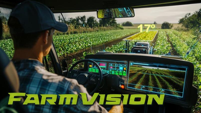
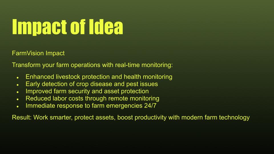
About FarmVision
Inspiration
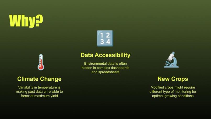
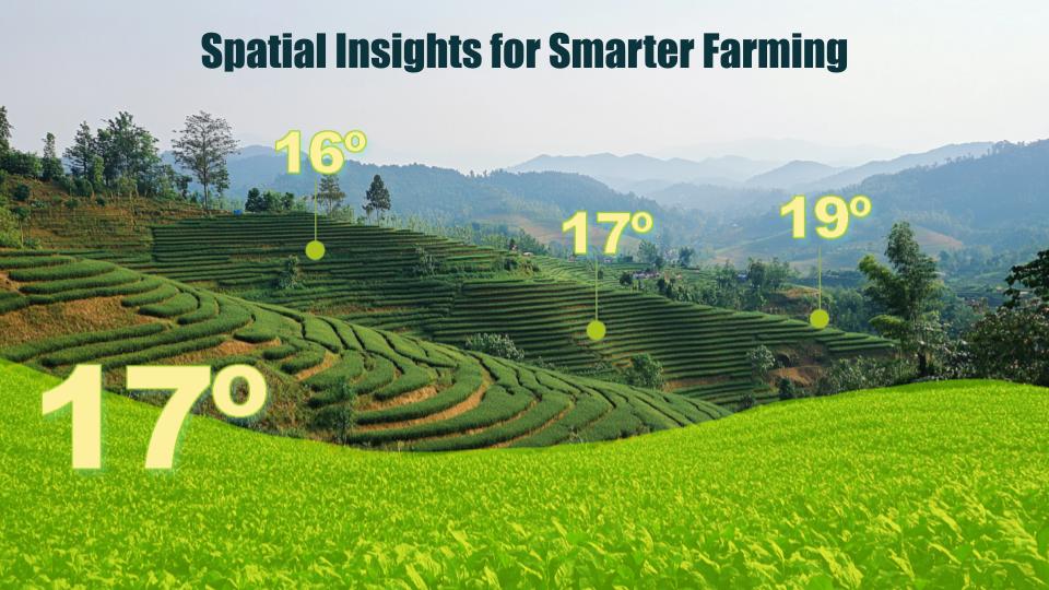
In agriculture, environmental data is crucial but often hidden in complex dashboards and spreadsheets. We wanted to transform how farmers interact with sensor data by making it spatially intuitive - allowing them to literally walk through their data in augmented reality while maintaining the convenience of traditional mobile views when needed.
What We Built
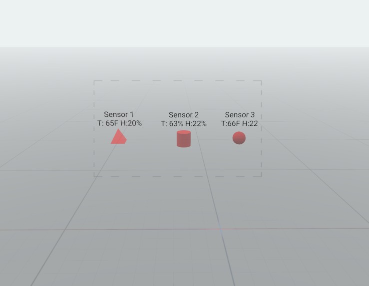
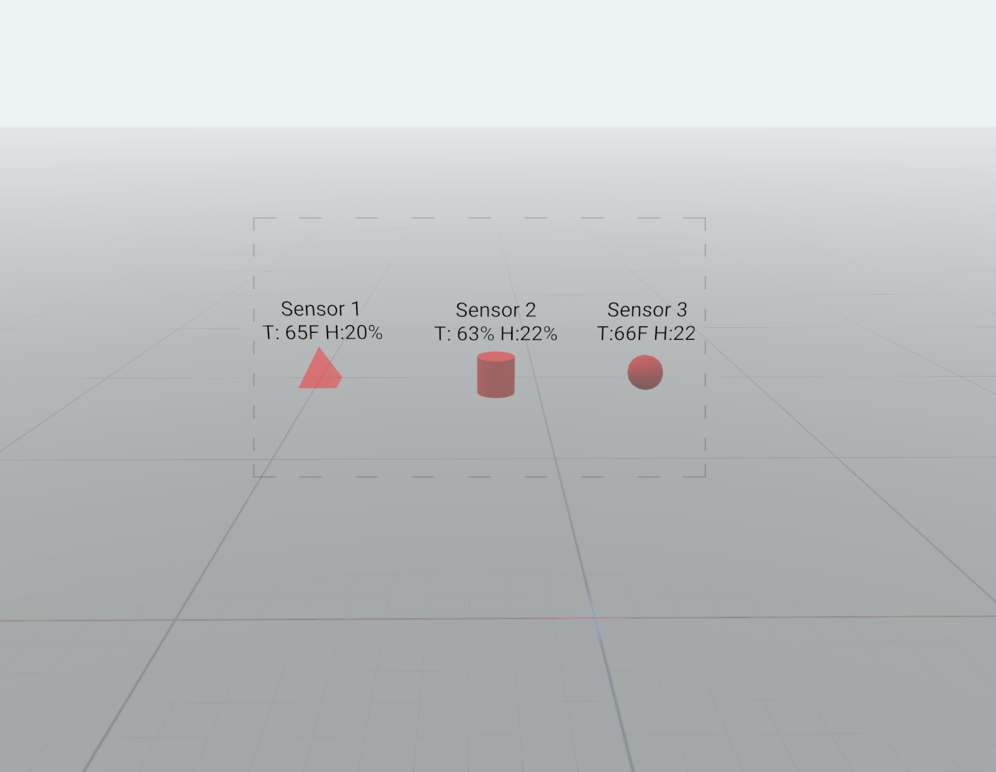
FarmVision creates an immersive AR environment where IoT sensor data comes to life. Users can:
- View temperature and humidity sensors positioned accurately in 3D space using GPS coordinates
- See real-time environmental data updates with intuitive color coding
- Seamlessly switch between traditional web views and AR visualization
- Interact with sensor data through both interfaces
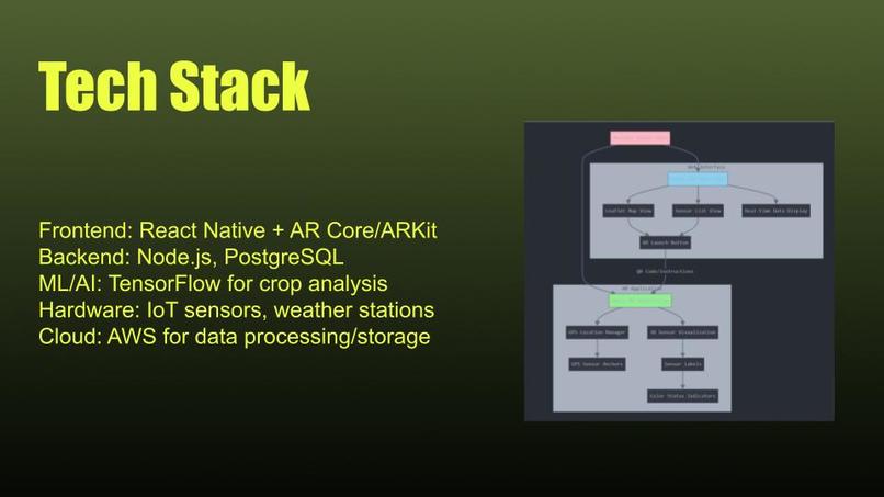
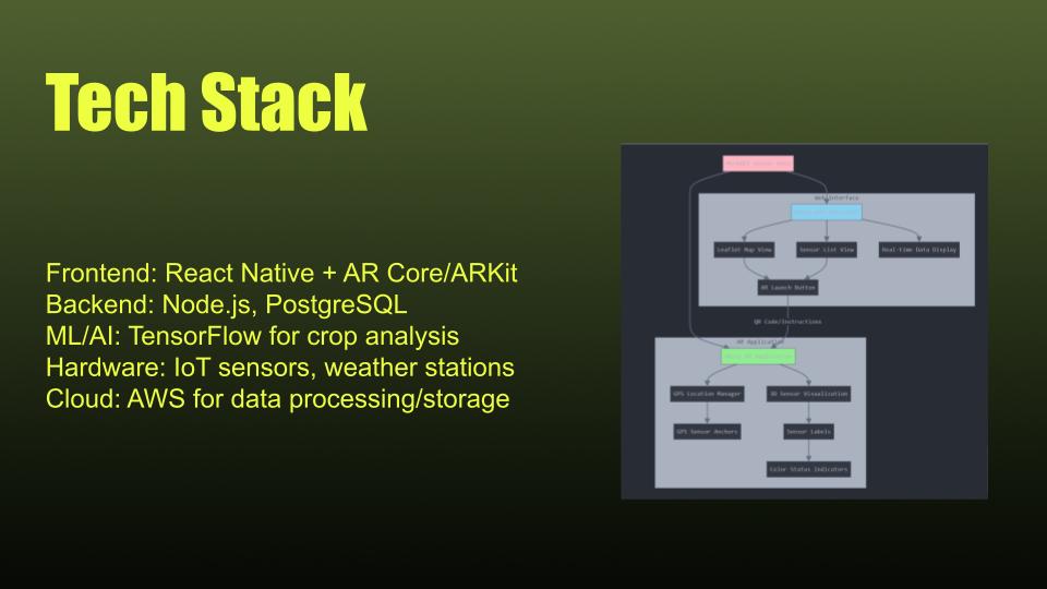
How We Built It
The project consists of two main components:
- AR Application (Unity)
- Used AR Foundation for spatial tracking and positioning
- Implemented GPS-based sensor anchoring system
- Created a real-time data simulation system for environmental metrics
Developed dynamic label system for sensor information display
Web Interface (React)
Built responsive dashboard for sensor monitoring
Implemented map-based sensor visualization
Created seamless transition system between web and AR views
Matched AR data structures for consistent experience
Challenges Faced
- GPS Accuracy: Ensuring precise sensor positioning in AR required careful handling of GPS data and drift
- Real-time Updates: Maintaining synchronized data across web and AR interfaces while keeping performance smooth
- UI/UX Balance: Creating interfaces that work well in both 2D and 3D spaces while maintaining consistency
- Cross-Platform State: Developing a reliable system for transitioning between web and AR views while preserving exact sensor states
What We Learned
- AR Foundation location services integration
- GPS coordinate transformation for AR space
- Real-time data synchronization techniques
- Cross-platform state management
- Spatial UI/UX design principles
Future Plans
- Integration with real IoT sensors
- Advanced data analytics visualization
- Multi-user collaboration features
- Offline mode support
- Custom sensor grouping and filtering


Log in or sign up for Devpost to join the conversation.