-
App Icon
-
Map & Route
Inspiration
We were inspired by the theme behind Hackperimeter: Escape from Earth.
What it does
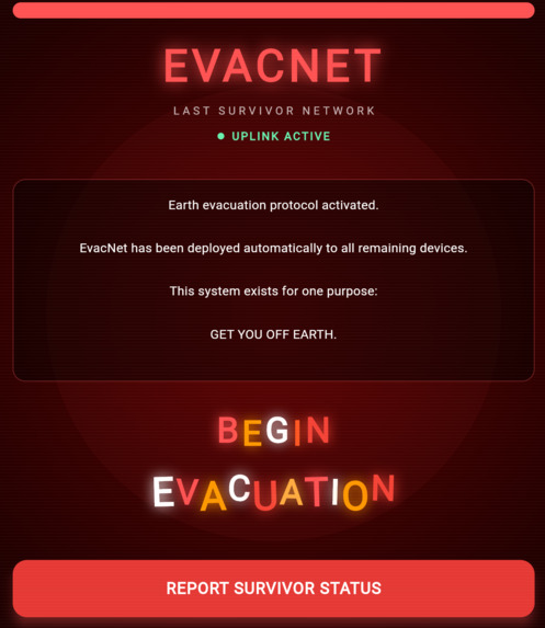
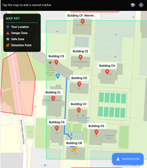
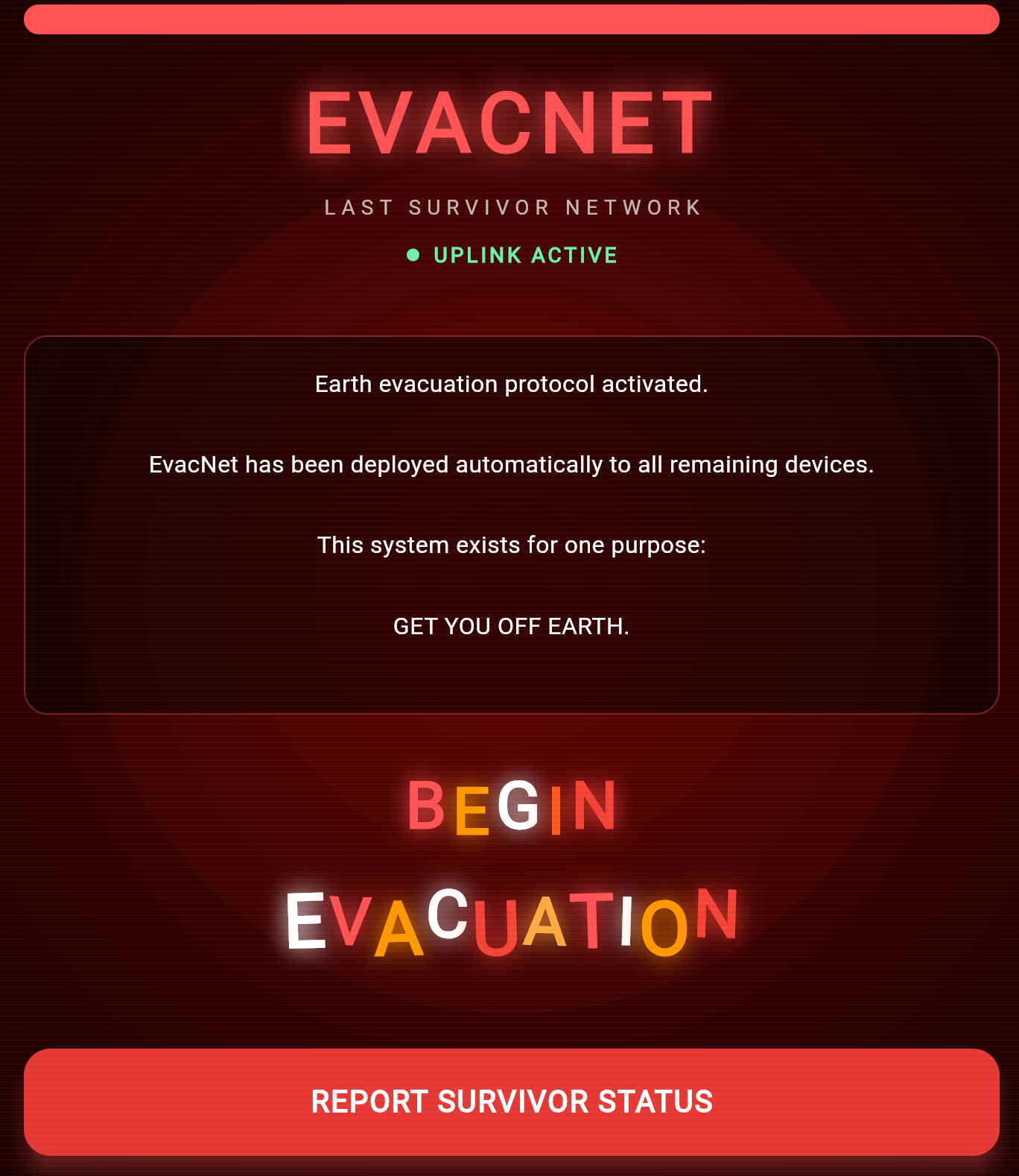
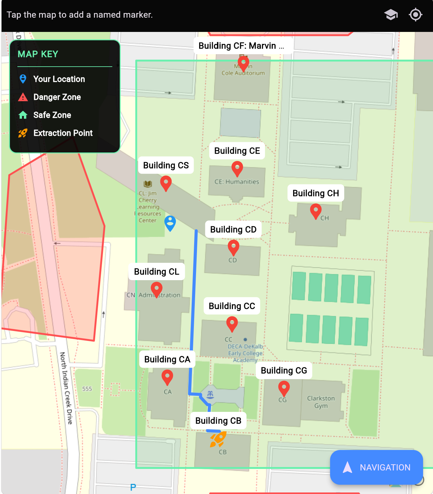
EvacNet automatically tracks your location, and will guide you to the quickest available route to a designated area. It also tracks known danger zones & safe zones (dubbed "survivor zones").
How we built it
This was built using Flutter and Dart, and uses OpenStreetMap for the map data, and OpenRoute Service, and Gemini to assist with building.
Challenges we ran into
Figuring out what services would work, and testing out the location tracking features.
Accomplishments that we're proud of
We're proud of working with open source geodata technologies, and
What we learned
We learned about
What's next for EvacNet
More development on the routing features.

