-
-
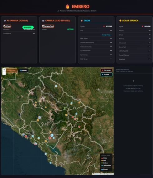
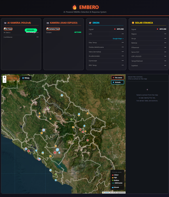
Embero Live Dashboard
-
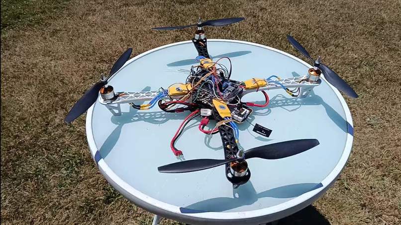
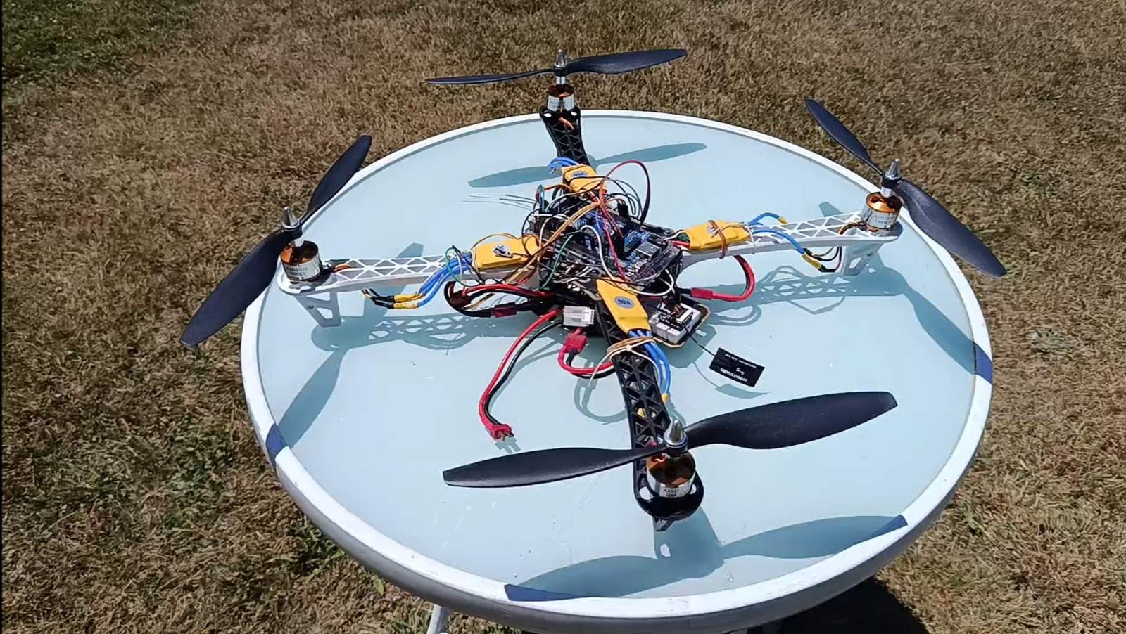
Drone Prototype
-
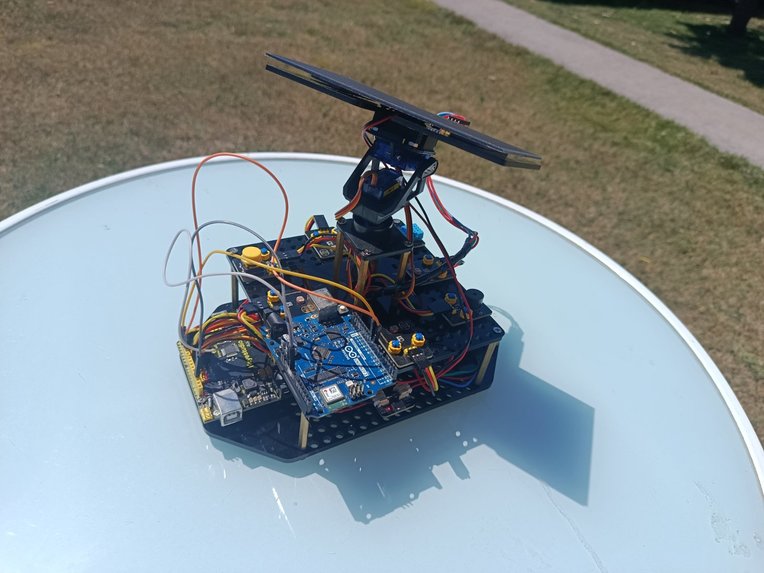
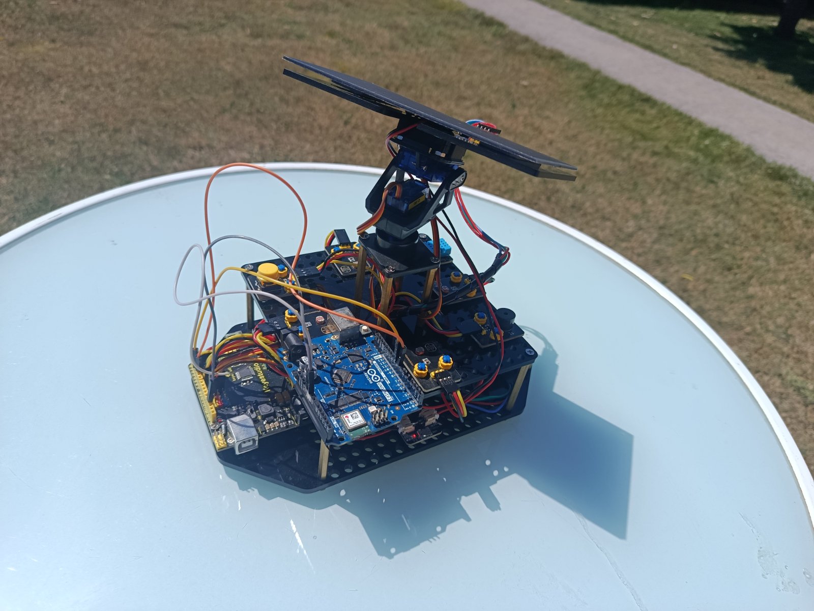
Station Prototype
-
-
Inspiration
Growing up in Golubovci, Montenegro, we watched wildfires destroy forests around our school every summer. Montenegro loses over 100 million EUR annually to wildfires, with 190,000 hectares burned between 2011–2023 — and 95% caused by human activity. As students in our school's eco-club, we felt helpless. We could see the smoke, but we had no tool to understand the risk, predict what would happen, or know what we could actually do. That frustration is what built Embero. What it does Embero is an AI-powered wildfire risk monitoring system designed for school eco-clubs and local communities in fire-prone areas. It gives students and teachers a real-time view of wildfire risk in their local area and translates that risk into concrete actions they can take.
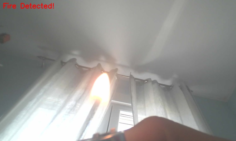
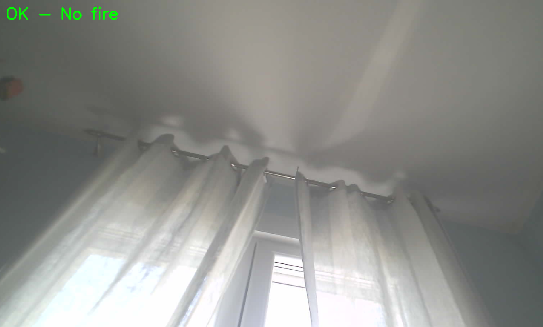
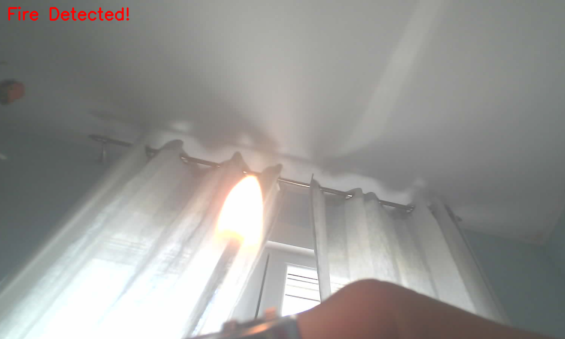
IoT sensor stations measure temperature, humidity, CO₂, smoke particles, and flame detection 24/7 Drone units with thermal and RGB cameras provide visual confirmation of anomalies YOLOv8 AI model detects smoke and flame in real time from camera feeds Community dashboard shows eco-club members the current risk index for their school area, a map of high-risk zones, and a list of recommended actions When risk rises, students see exactly what to do — report a dangerous zone, organize vegetation cleanup around the school, or notify local services
How we built it
Hardware:
ESP32-S3 CAM with OV2640 for edge image capture Arduino Giga R1 WiFi as central processing unit DHT22, BMP280, MQ-2, MQ-135 and FLAME IR sensors on solar-powered stations (LiFePO₄ 12V/18Ah) LoRaWAN RN2483 (868MHz, 15km range) for connectivity without mobile networks Custom drone frame with thermal camera (AMG8833) and GPS (NEO-6M)
Software:
YOLOv8n model for real-time fire/smoke detection Python + OpenCV for video processing pipeline HTML/CSS/JS dashboard for school community interface Synthetic dataset simulating sensor readings under normal and fire conditions
Challenges we ran into
False positives — mountain fog and road dust triggered smoke sensors. We solved this with multi-source cross-validation: the system only raises an alert when optical sensors, CO₂ sensors, AND thermal camera all confirm simultaneously, with confidence threshold above 85% Connectivity in remote areas — solved with LoRaWAN as primary protocol and satellite backup (Starlink/Iridium) for critical telemetry Framing the right user — we initially designed Embero for government and fire services. Through building this project we realized the most important user is the student who lives next to the forest and needs to understand the risk in their own backyard
Accomplishments that we're proud of
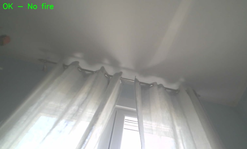
Built a working hardware prototype with real components under 138 EUR per station YOLOv8 model detecting smoke and flame in real time from live camera feed Designed a full IoT architecture that works without mobile network coverage Created a community dashboard that makes wildfire risk understandable for students with no technical background
What we learned
AI is most powerful when it supports human decisions, not replaces them Local specificity matters — a tool built for Montenegro's micro-climate performs better than a generic global solution Hardware and software must be designed together from the start The hardest problem isn't detection — it's communicating risk in a way that motivates real action
What's next for Embero
2026 Pilot: 50 sensor stations across 3 municipalities (Podgorica, Nikšić, Bar) during fire season 2027: Present results to Montenegro Forest Administration, apply for EU LIFE and IPA funding 2028+: 4,000 stations covering all of Montenegro — full national network for 725,000 EUR, less than 3 days of annual wildfire damage

Log in or sign up for Devpost to join the conversation.