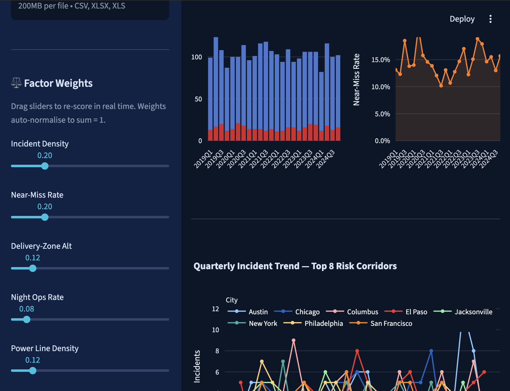
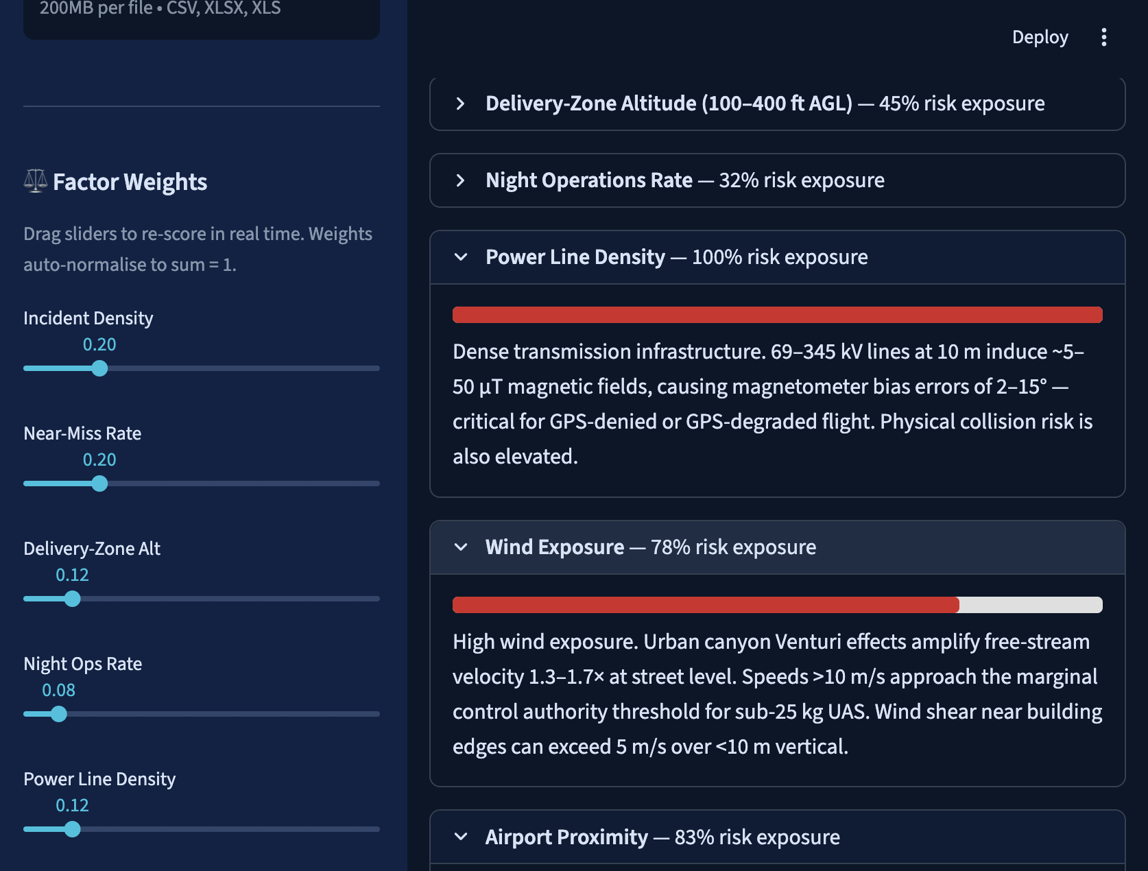
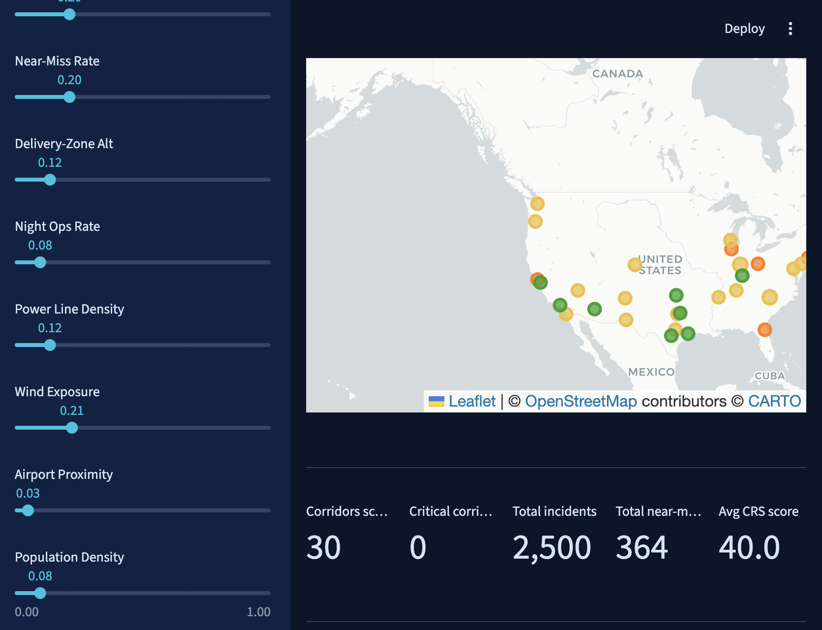
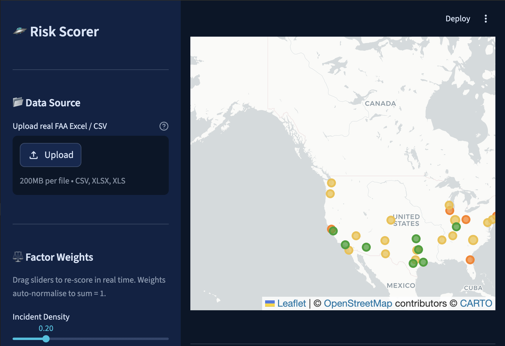
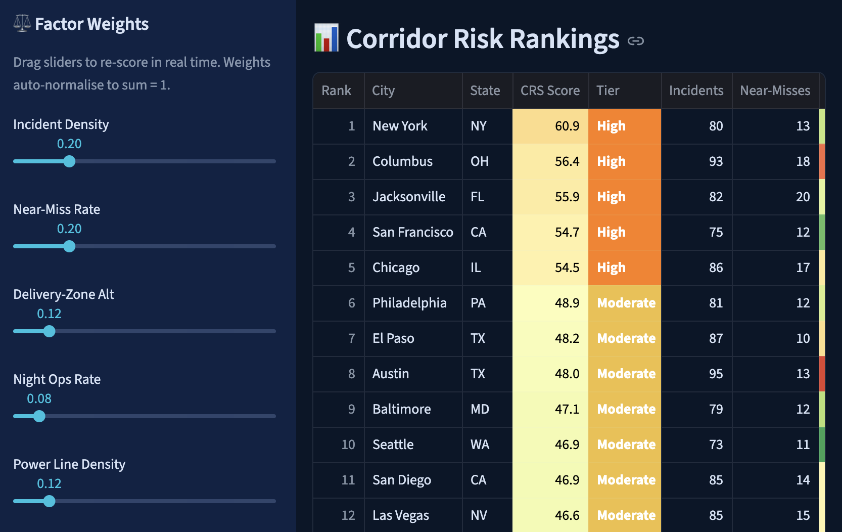
Every year, there are 10,000 drone incidents because operators are 'flying blind' on physical risk. While current tools give a binary 'Yes/No' for airspace clearance, my platform provides a physics-grounded Risk Score (CRS) for urban corridors. I decompose risk into eight explainable factors, like urban canyon wind speeds and power line electromagnetic interference, so engineers can actually fix the problems. It’s the difference between a statistic and a reason.
Built With
- faa
- faasora
- leaflet.js
- natural-language-processing
- openstreetmap
- python
- streamlit

Log in or sign up for Devpost to join the conversation.