Inspiration
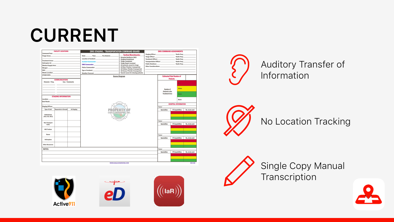
The inspiration for this project came from the lack of data about the reliability of disaster relief triage protocols available for efficacy analysis since the current systems are reliant on hand-written identification tags. There are a handful of triage protocols practiced globally, but comparison between them to determine which is most effective in saving lives is unreliable with this current system.
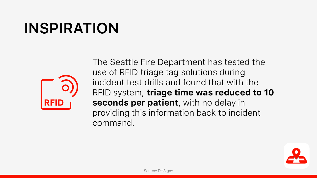
Additionally, the use of NFC chips on triage tags by the Seattle Fire Department during incident test drills has shown an average of a 10-second increased efficiency per patient when performing triage duties (https://www.dhs.gov/sites/default/files/publications/RFID-Triage-Tags-TN_0913-508.pdf). This information led to the creation of a mass casualty incident triage mapping system that tracks patient locations and conditions through a cloud-based interface, accessible with priority by emergency service personnel, featuring a master-view available for the incident command team to better relay information to the rest of the EMS staff on-site.
What it does
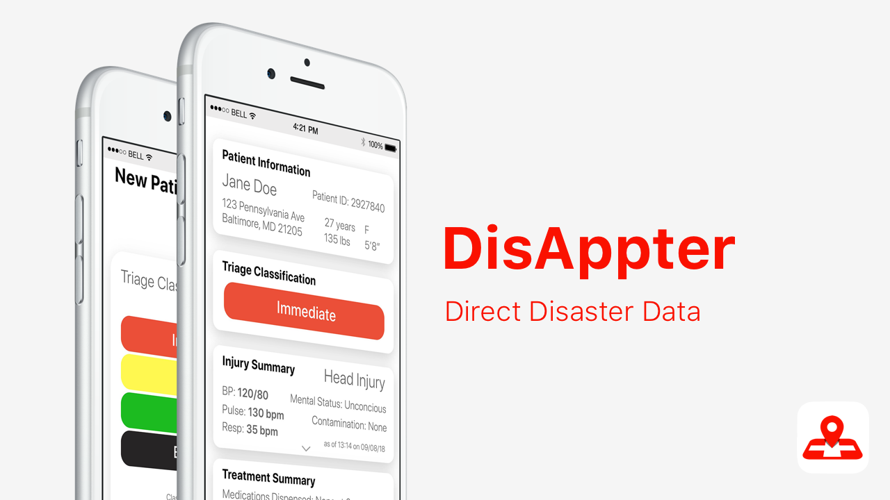
Utilizing triage tags that include near-field communication (NFC) chips would allow EMS personnel to easily and quick digitally triage their patient. The chip can be scanned by all recent smartphones by simply waving it nearby, similar to how you unlock a hotel room and can transmit data to DisAppter about current phone location, along with a timestamp and a patient number, marking where a patient has been found. The EMS personnel would then input data into the app that would normally be filled out on the card itself, which is stored in the cloud and can be accessed by other EMS personnel later and is accessible on the map for the team to see. Later, the data can be collected and analyzed for efficacy experiments.
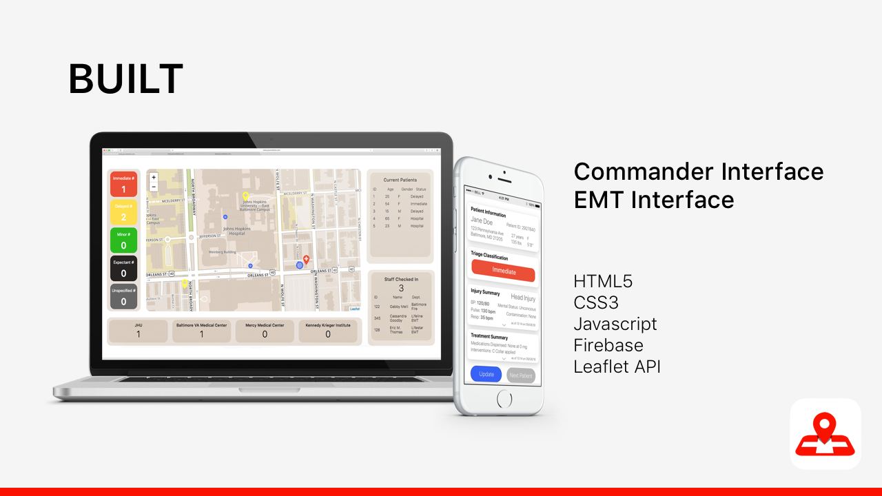
How we built it
The application is built using HTML5, CSS3, javascript, Firebase and leaflet JavaScript library. We created two interfaces: the incident command and the EMS interface. The incident command interface would be utilized by the commanding officers during the disaster with live data portrayed on screen. Location mapping would allow the incident command to easily identify where the current patients are as well as their status and any information collected during the triage as well as where the EMS personnel are to allow for better use of team members. This interface also allows EMS personnel to request help from incident command, keep track of the mass casualty incident data and quickly see which hospitals have been sent patients.
The EMS personnel interface is a simplified website intended to be used on phones. We created a website so that it is available on iOS and Android. Our goal was to keep the app as simple as possible as during a mass casualty incident we don't want the focus to be taken away from the patient. The EMS personnel has the option to add triage classification and patient information, as well as ask for help from the incident commander if in need. The patient information entry form design is the same as the original triage classification tags as EMS is already familiar with the design.
Vision
We hope that by allowing a streamlined process for live data tracking we can reduce instances of death in mass casualty instances and provide data for further protocol improvement.
Challenges we ran into
- HIPAA considerations - how would the data be encrypted to protect patient identity
- Developing the scanning function - no NFC chips accessible
- Websites rather than applications - in the interest of time, the platform was created on the web rather than in an application
What's next for DisAppter
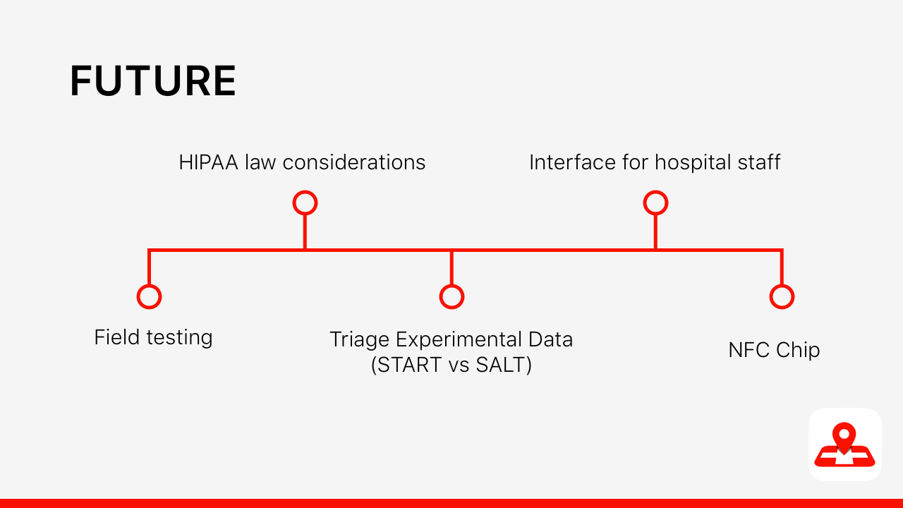
- Field Testing
- HIPAA considerations
- Experimental data analysis of triage
- Interface for Hospital Staff
- NFC Chip

Log in or sign up for Devpost to join the conversation.