-
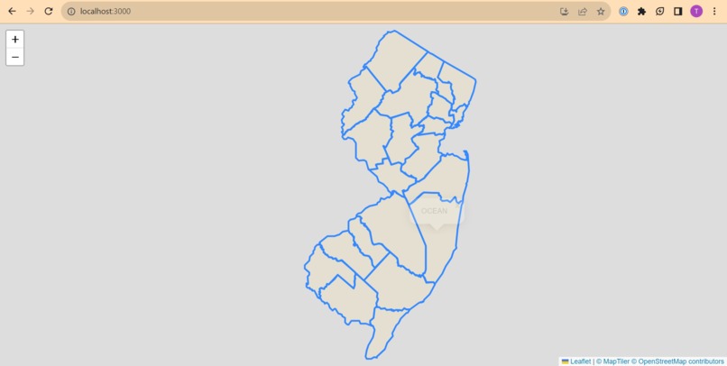
Home page interactive map
-

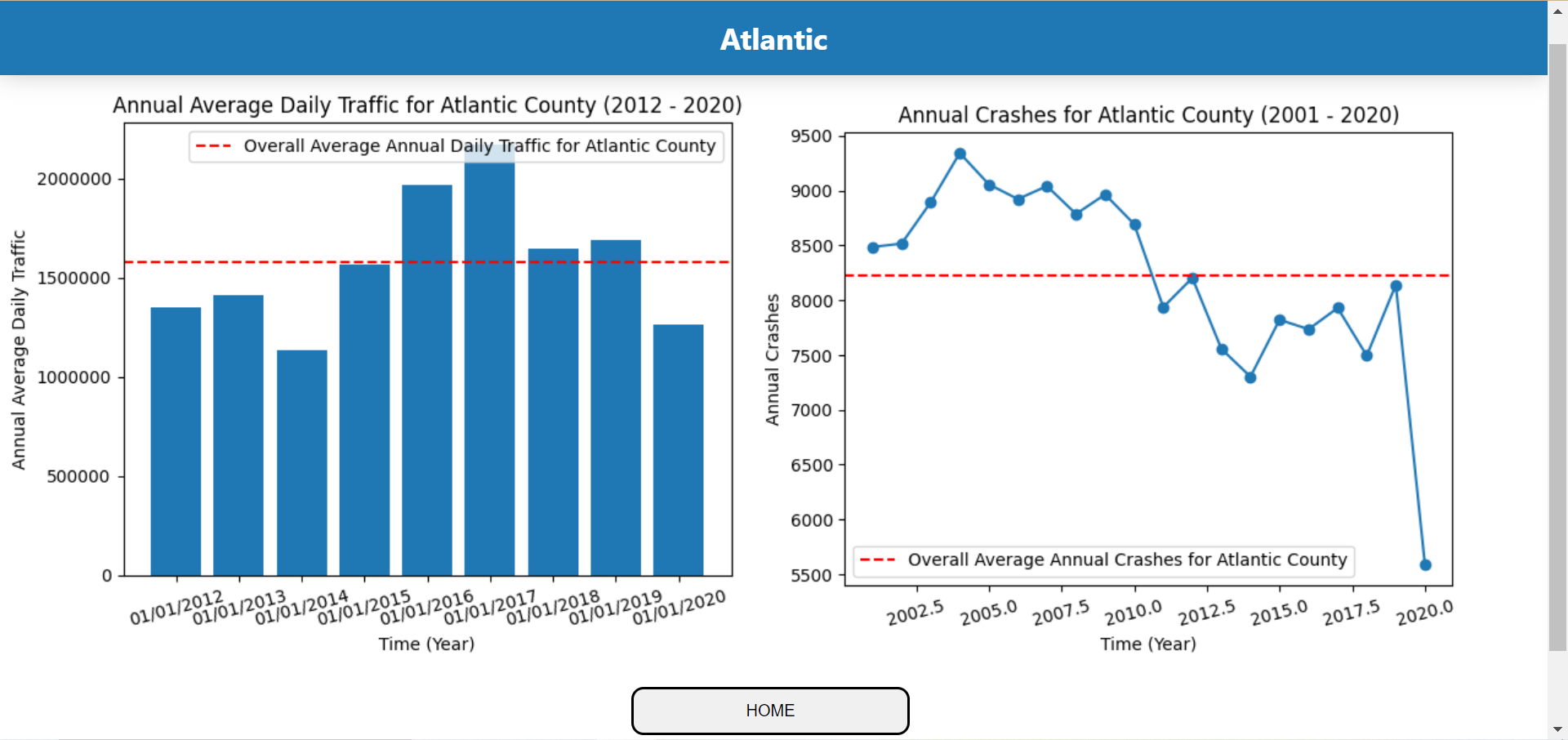
Statistics page shown after clicking on a county
Inspiration
Wanted to challenge ourselves with real data
What it does
Tell statistics about counties in NJ
How we built it
React website with interactive Leaflet map, NJ counties mapped out using GeoJSONs, Python to clean and analyze data for graphs
Challenges we ran into
- Setting up an interactive map (with no errors)
- Deciding on an that uses the NJ Transit idea in a unique way ## Accomplishments that we're proud of Nothing ## What we learned Leaflet Interactive Map ## What's next for CrashMap Add statistics, better aesthetics, and world peace
Video Demo : https://www.loom.com/share/6ab3c9cf8000460faeb2f7fd334a2478


Log in or sign up for Devpost to join the conversation.