-
-
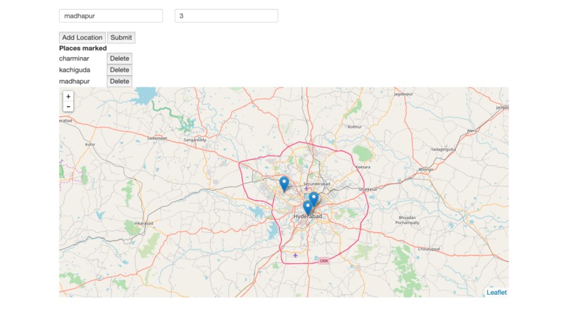
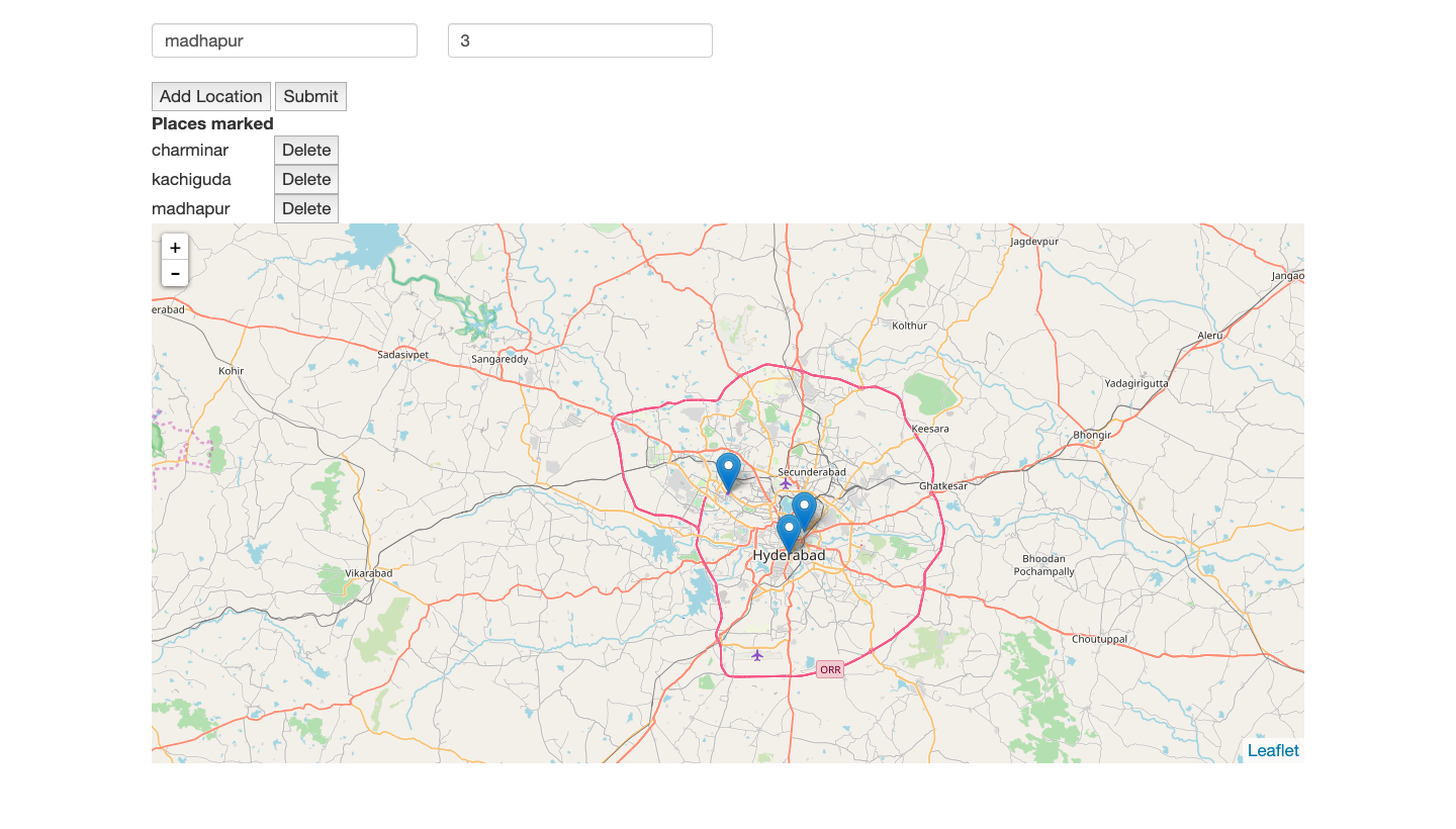
adding places
-

overview
[WIP] TODO: Analyze the data collected using clustering and other techniques.
Inspiration
Due to the unavailability of testing kits, a lot of COVID-19 cases are not visible to the public, and the reports only give the approximate location like the city/town name. If a system in place which allows suspects/ positive cases to report their locations and travel history, then others who can view, who came in contact with the person, can also take necessary isolation methods, knowing that he/she contacted a COVID-19 suspect.
What it does
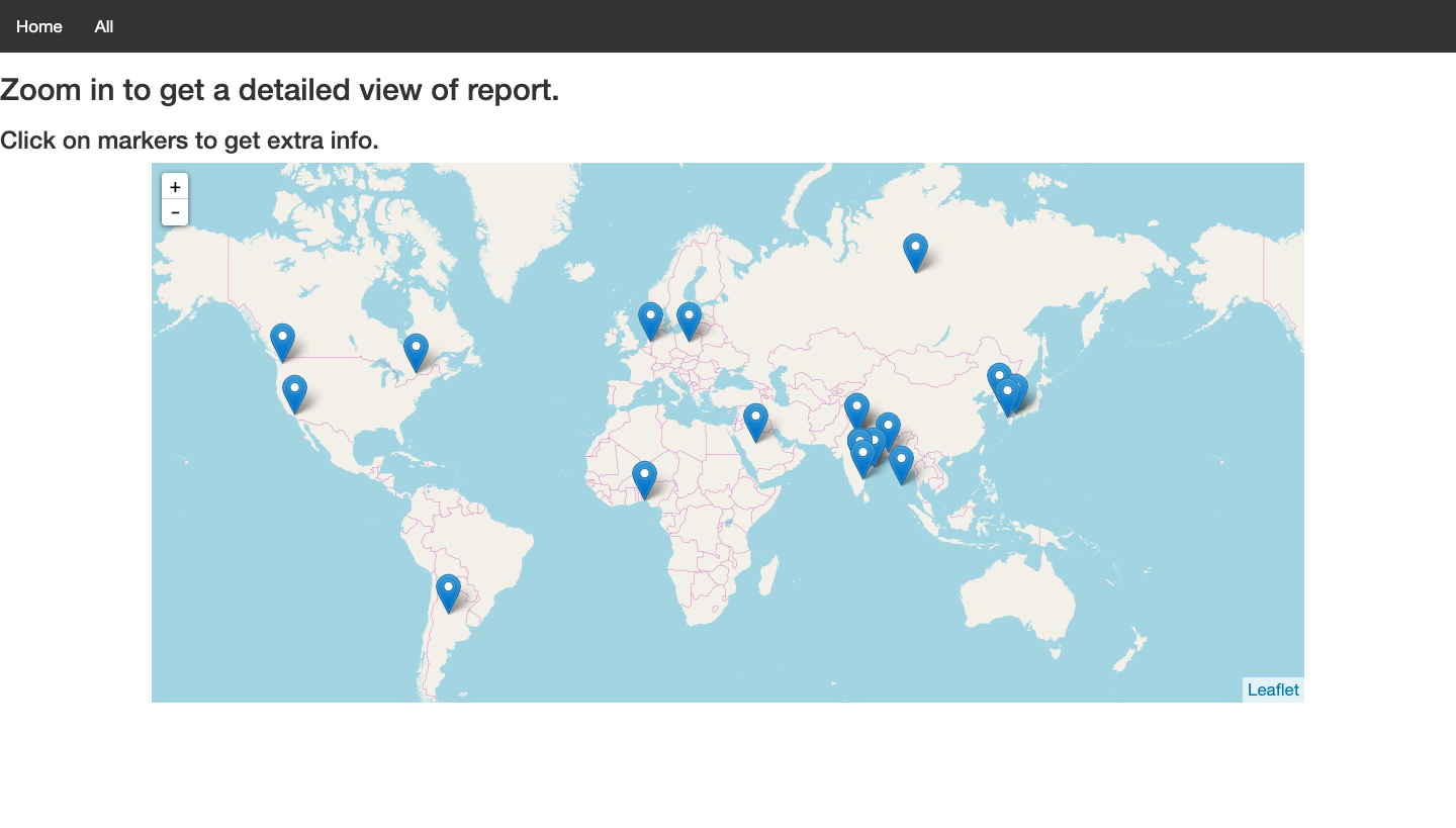
Tracks the suspected person's travel history, others can view visually the data of the suspected person from the ALL page on top left.
How I built it
Using Javascript, HTML, Open Street Maps.
Challenges I ran into
Getting a solid map viewing framework. Tried google maps API, but required credit card info. OSM is the option I chose as it is opensource and I think it is better than other options.
What's next for COVID-19-tracker
Scale it for a large usage


Log in or sign up for Devpost to join the conversation.