-
Logo
-
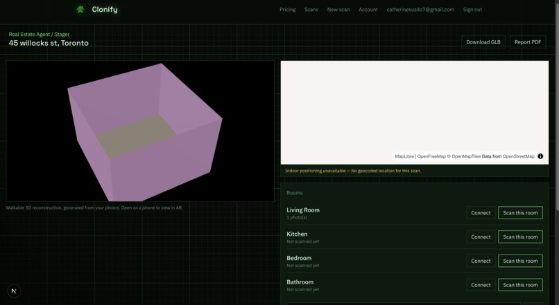
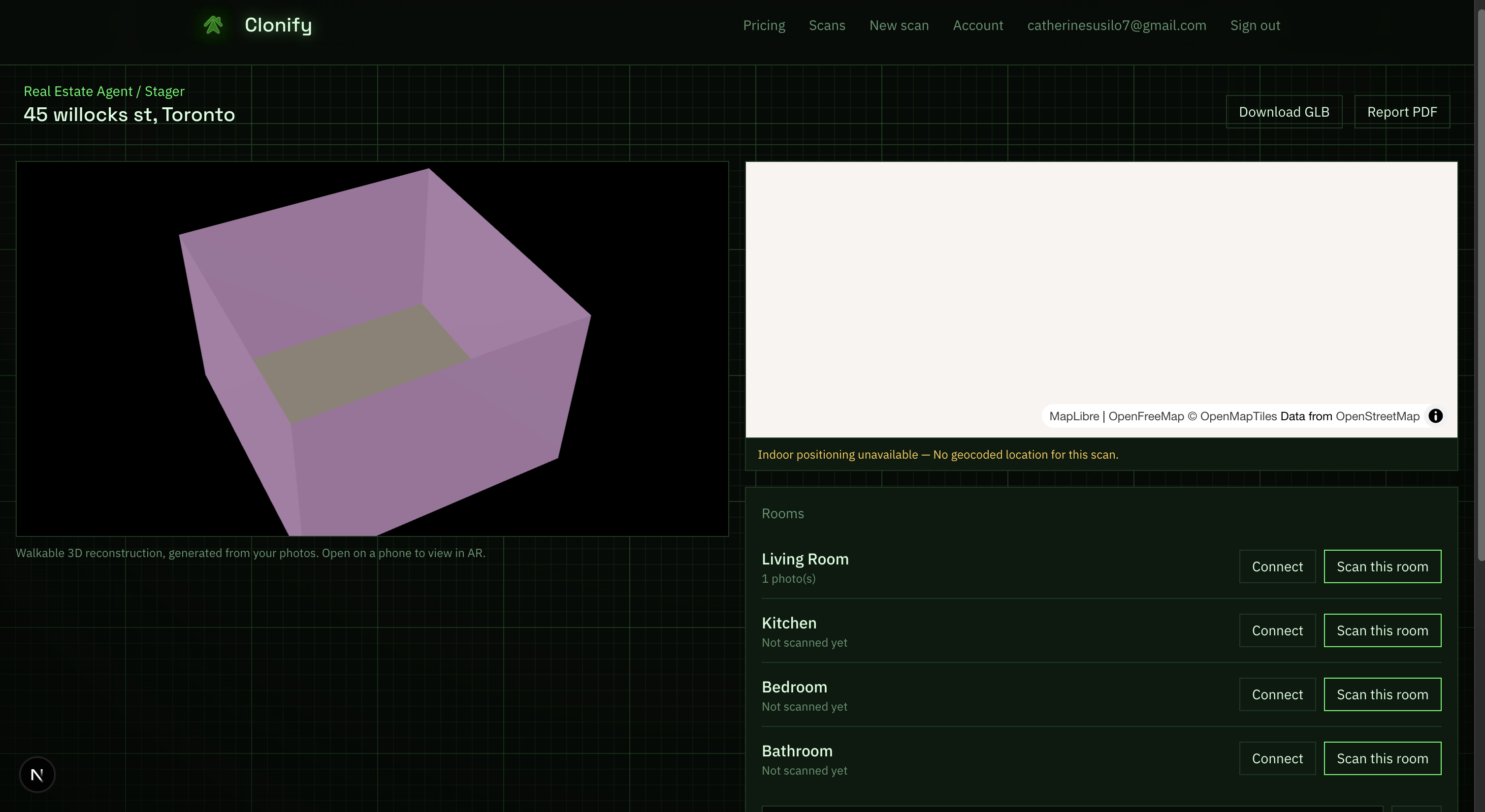
Created 3D Space
-
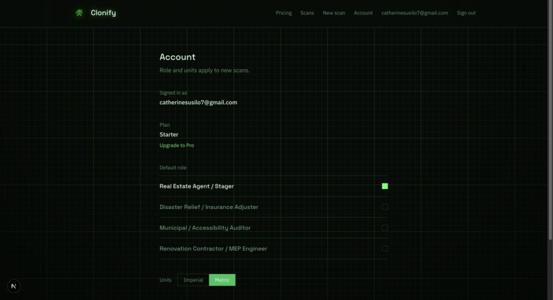
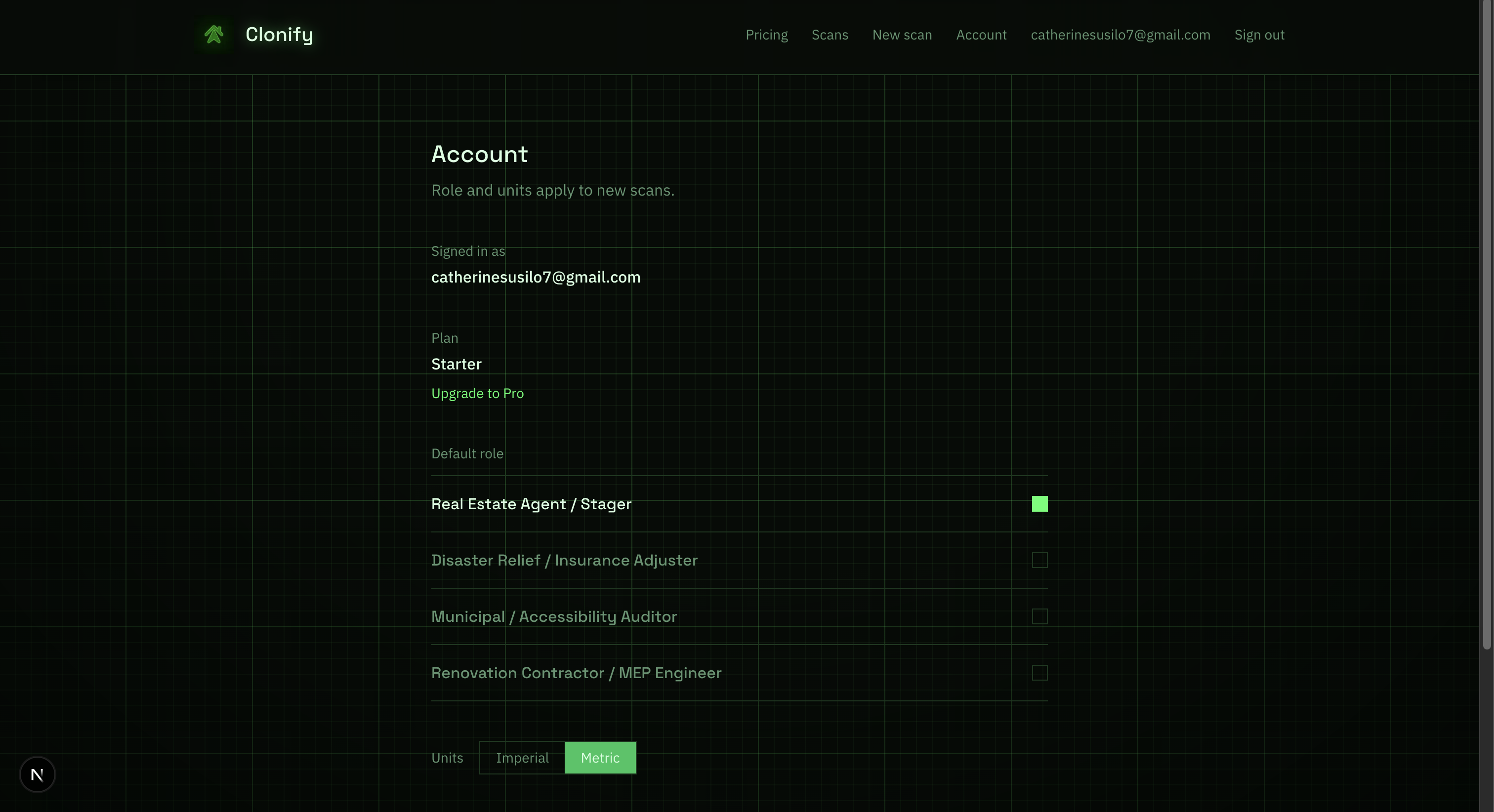
Account page
-
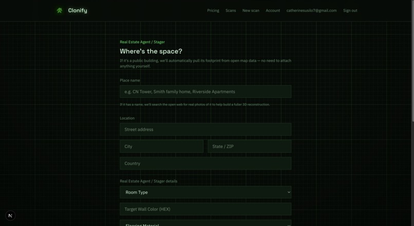
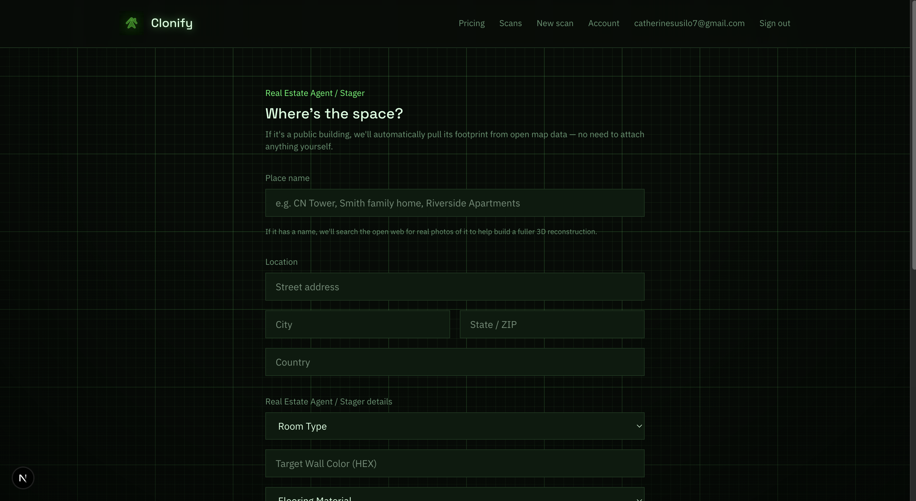
Space details
-
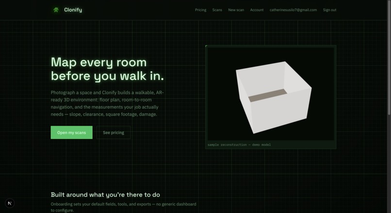
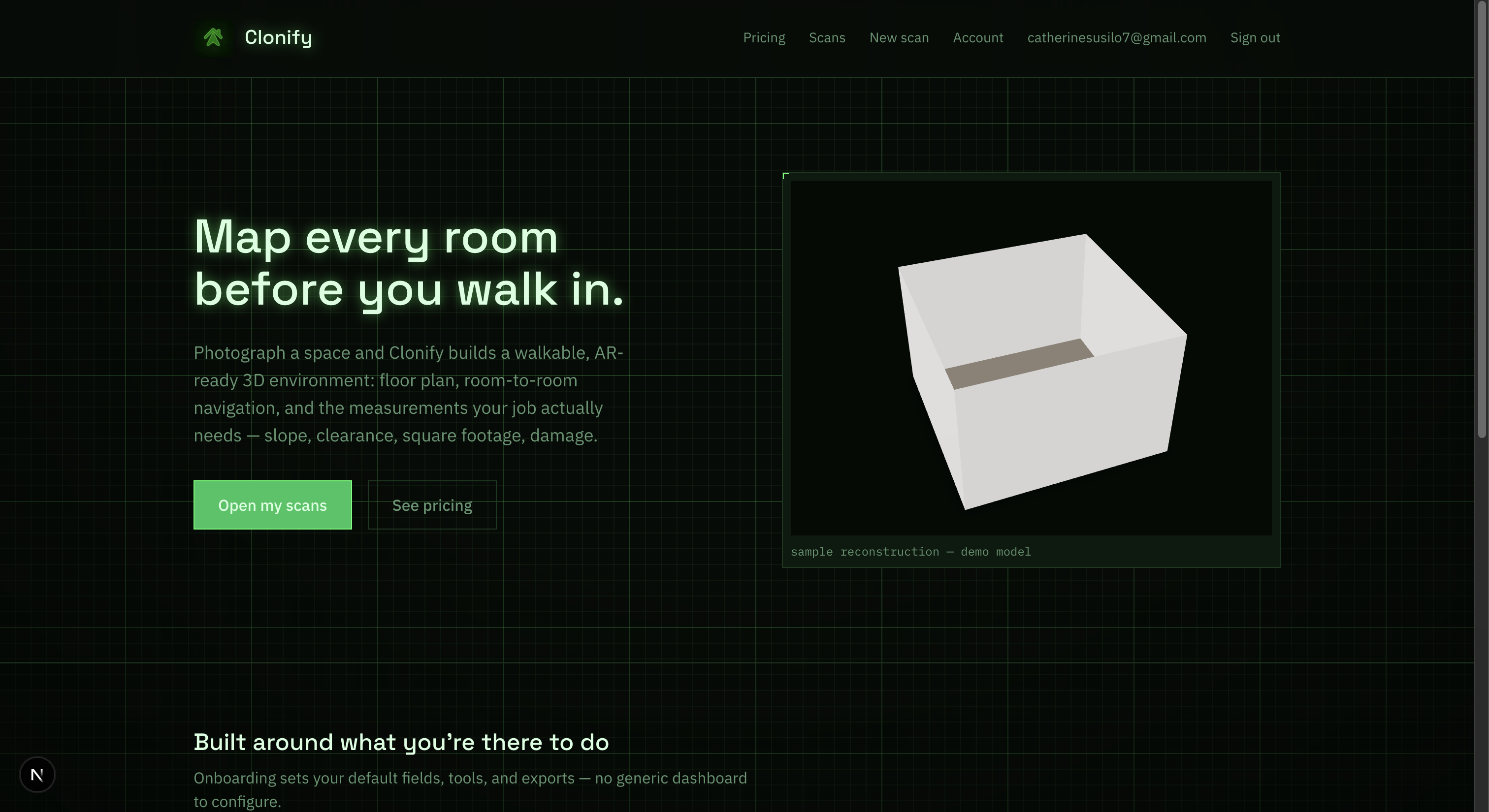
Landing Page
Inspiration
Urban spaces, public infrastructure, and residential buildings often lack accessible, low-cost spatial analysis tools. Conducting physical site surveys, assessing post-disaster structural integrity, or auditing public transit stops for ADA accessibility typically requires expensive CAD hardware or manual on-site teams.
We were inspired to build Clonify to democratize spatial AI—transforming standard 2D photos into high-precision, navigable 3D digital twins. By aligning our platform with the United Nations Sustainable Development Goals (SDGs 9, 10, 11, and 12), we set out to build a platform that streamlines disaster recovery assessments, eliminates carbon emissions from physical furniture staging, and automates accessibility compliance audits.
How We Built It
Clonify is engineered as a hybrid platform: lightweight enough for a fast live hackathon MVP, yet scalable for a production-ready architectural pipeline.
Architectural Core & Tech Stack
- Frontend & Rendering: Built with Next.js (App Router), Tailwind CSS, and
shadcn/ui. Interactive 3D web models rely on Google<model-viewer>, paired with Three.js / React Three Fiber for camera fly-through animations and custom mesh shaders. - Spatial & Indoor Mapping: Integrated the Mappedin SDK for multi-floor wayfinding and room layout generation, Archilogic API for 2D blueprint conversions, IndoorAtlas for high-precision indoor positioning, and the Overpass API (OpenStreetMap) for urban terrain contexts.
- AI 3D Reconstruction: Powered by Luma AI (NeRFs / Gaussian Splatting) and Tripo3D / Meshy SDKs for asynchronous photo-to-3D mesh generation.
- Backend & Data Pipeline: Driven by Prisma ORM with SQLite for zero-config local execution (upgradable to Supabase/PostgreSQL), AWS S3/Cloudflare R2 for asset storage, and Upstash Redis with BullMQ for asynchronous queue management.
- Voice, Payments & Analytics: Web Speech API for spatial audio tours, Stripe API for Pro subscriptions, and PostHog for telemetry.
Challenges We Faced
- Asynchronous Mesh Generation: Reconstructing NeRFs and Gaussian Splats from unstructured photo arrays is computationally intensive. Handling variable processing latencies required building robust background job processing with optimistic client-side polling.
- Coordinate Alignment: Mapping 3D reconstructed meshes (
.glb/.usdz) onto 2D/3D indoor floor plans generated by the Mappedin SDK required precise spatial coordinate normalization and scale calibration. - Real-Time Web Performance: Rendering high-density spatial meshes smoothly in the browser required optimizing geometry levels of detail (LOD) and shader execution.
What We Learned
- Spatial AI Integration: Blending neural rendering pipelines (NeRFs/Splats) with traditional indoor mapping SDKs creates powerful workflows for real-world architectural applications.
- Accessibility Automation: Translating physical compliance standards (like ADA slope and clearance rules) into mathematical algorithms on 3D meshes opens up scalable avenues for civic infrastructure planning.
- Edge & Pipeline Architecture: Structuring a flexible database and queue design allows a project to run seamlessly in local hackathon environments while remaining instantly ready for enterprise deployment.
Built With
- bullmq
- docker
- maplibre
- minio
- next
- openfreemap
- openhps
- openstreetmap
- prisma
- tailwind
- trellis
- valkey
- webxr

Log in or sign up for Devpost to join the conversation.