Inspiration
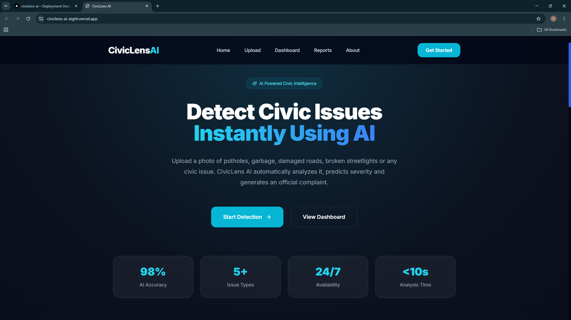
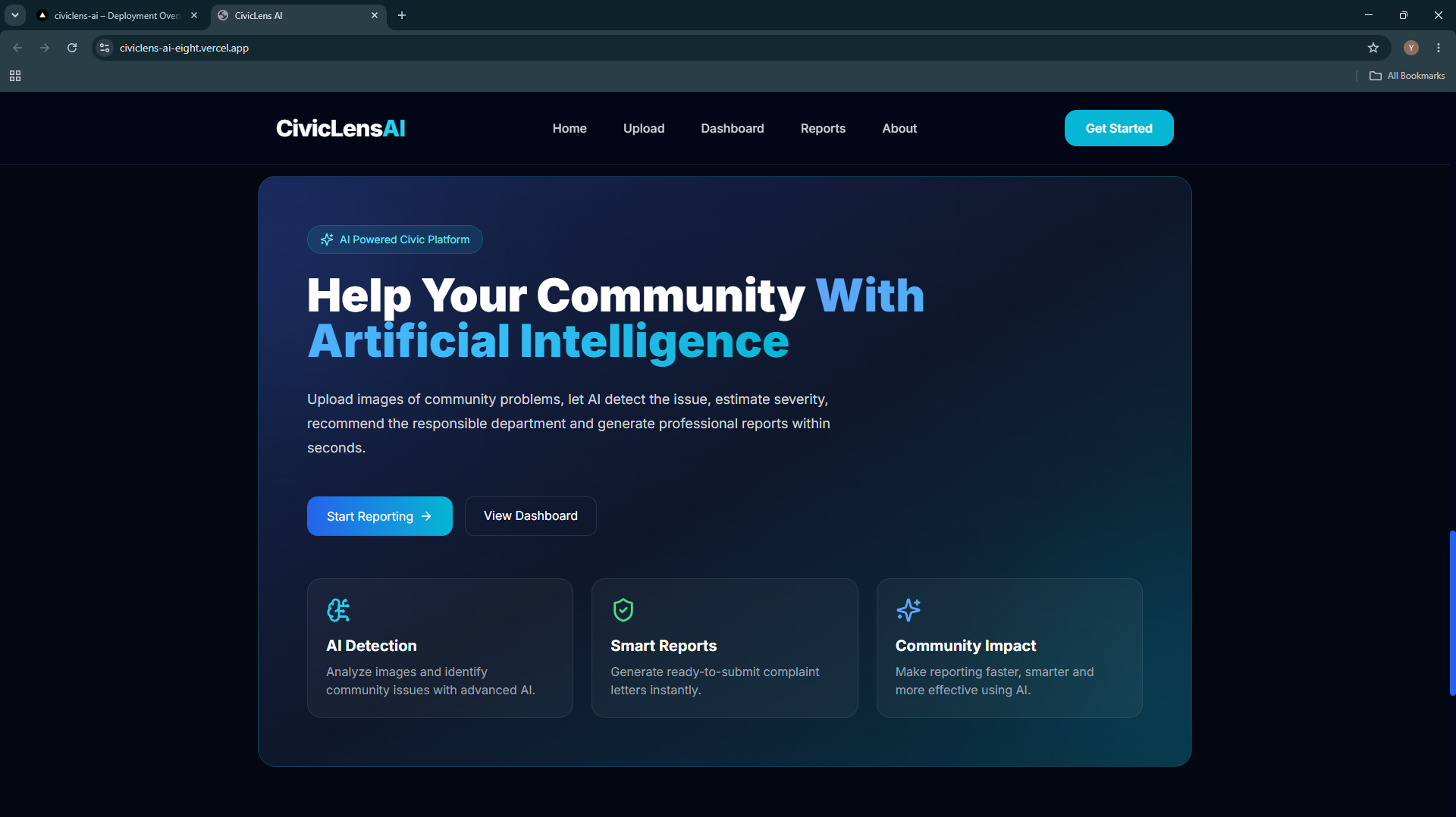
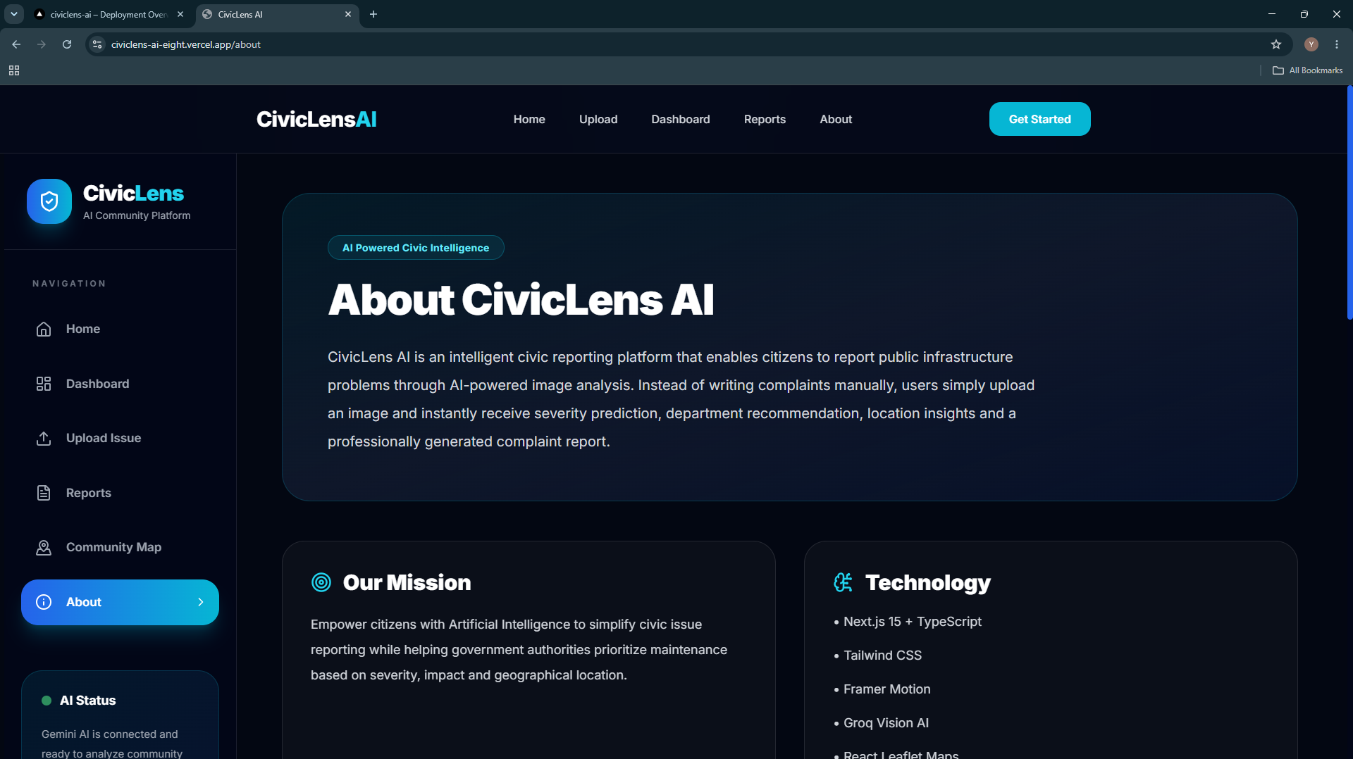
Cities face thousands of civic issues every day, such as potholes, overflowing garbage bins, water leakages, and broken streetlights. Reporting these issues is often slow, confusing, and unorganized, leading to delayed responses from authorities. We wanted to create a platform that makes reporting as simple as taking a photo. Our inspiration was to use Artificial Intelligence to bridge the gap between citizens and local governments, making civic issue reporting faster, smarter, and more transparent.
What it does
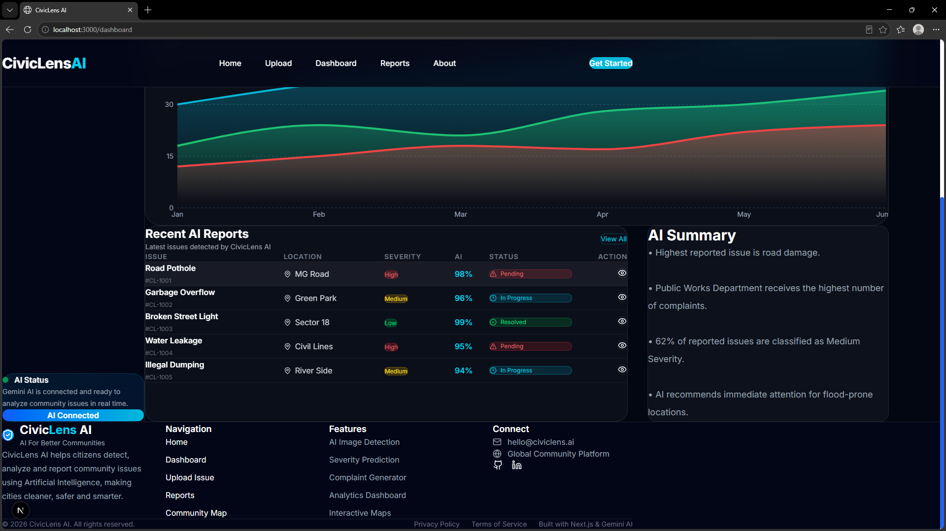
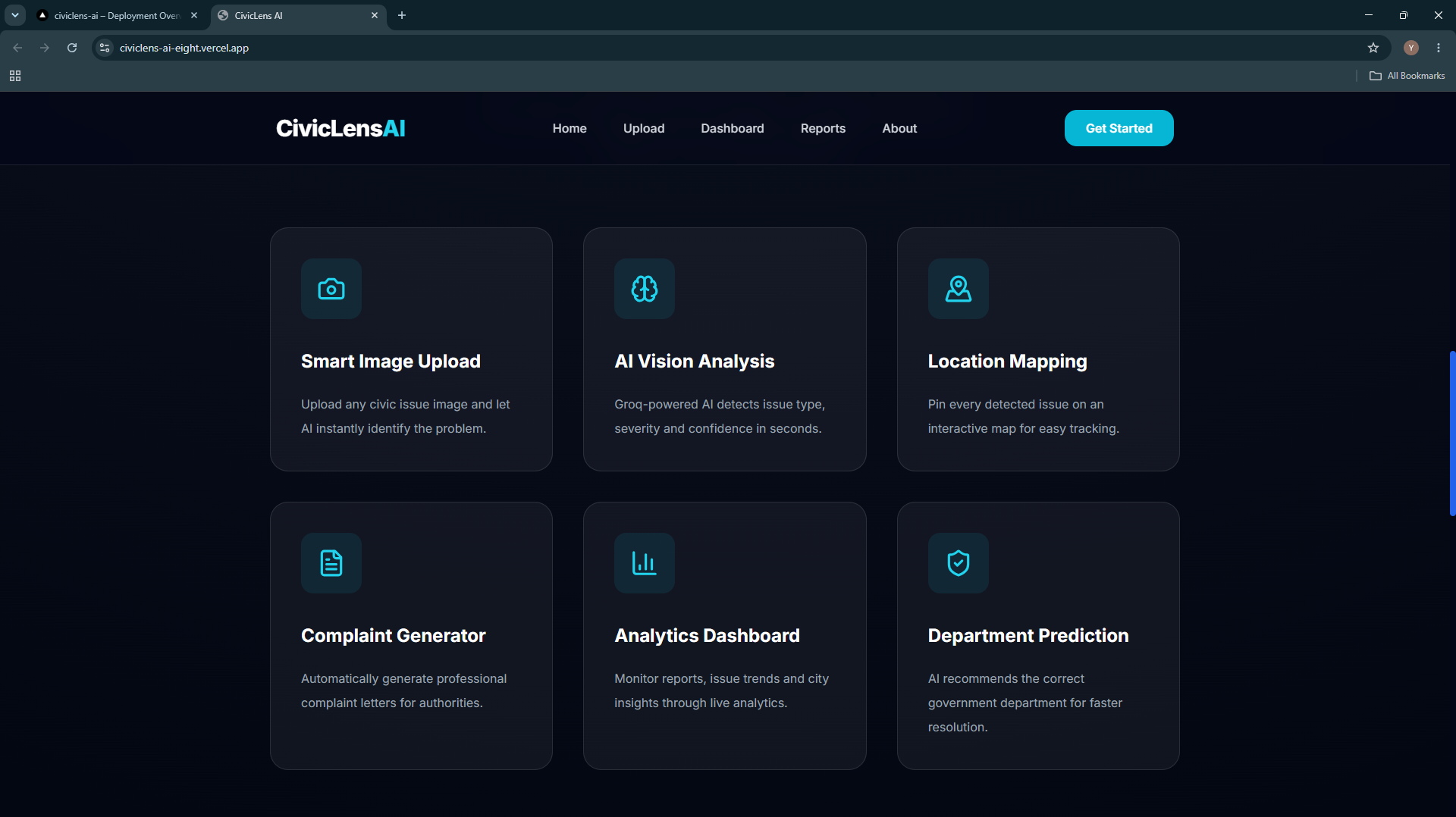
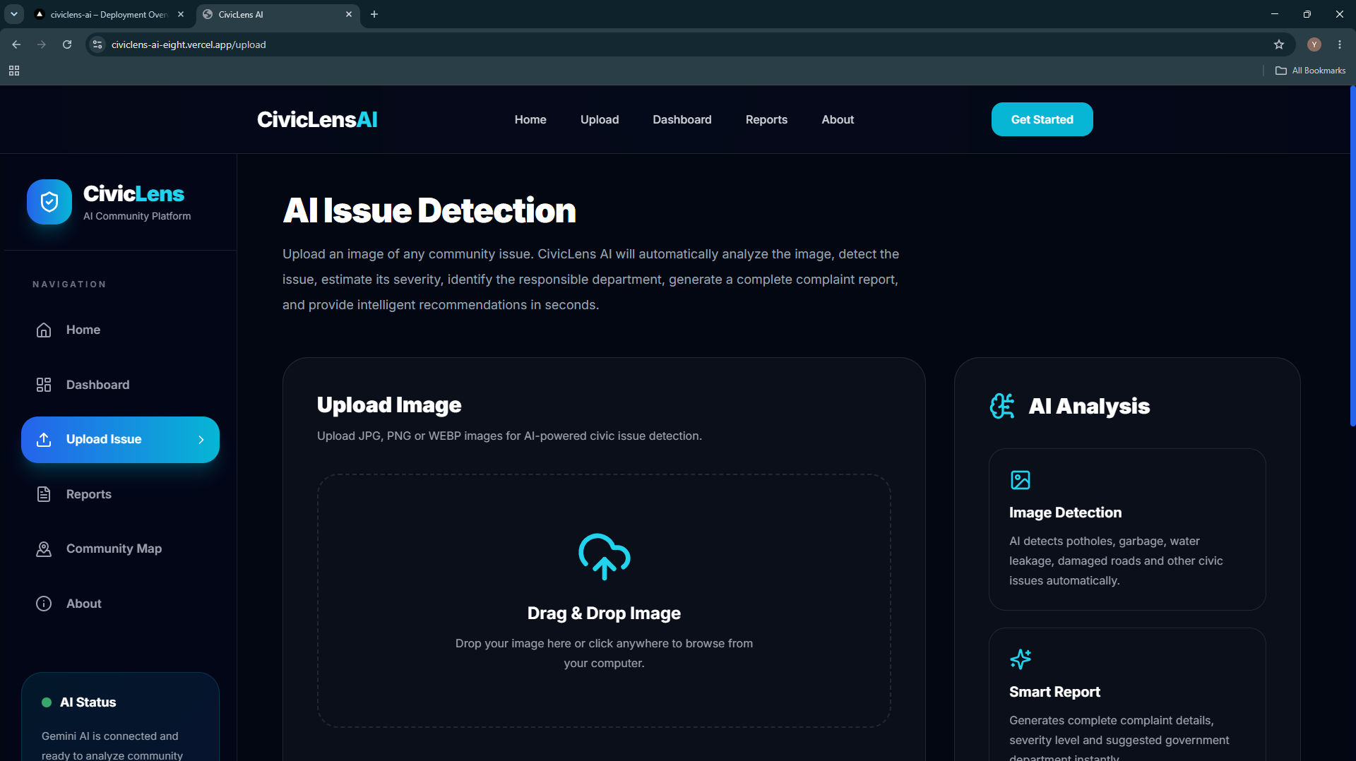
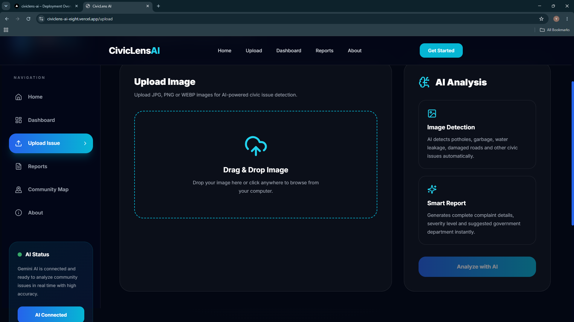
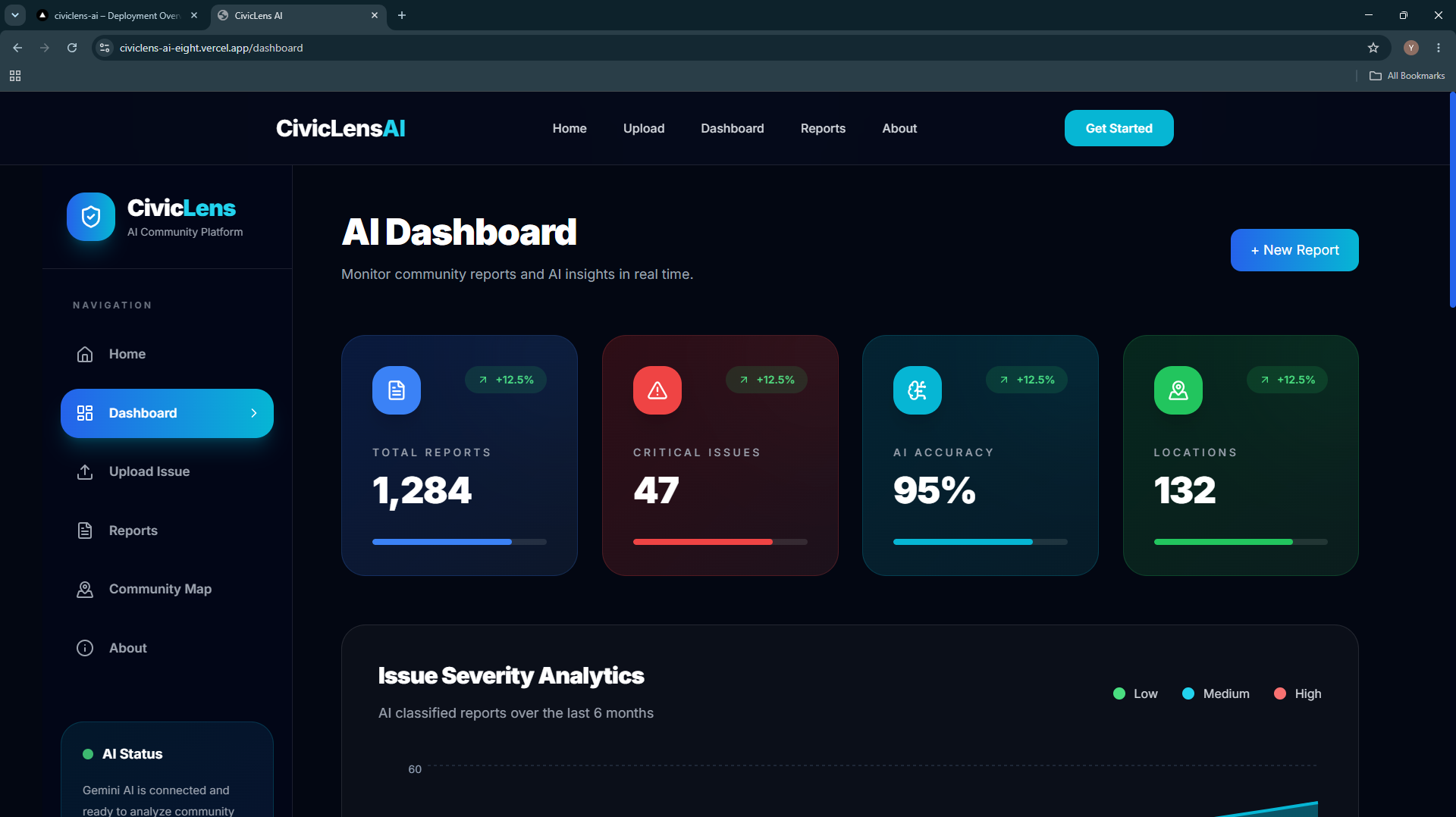
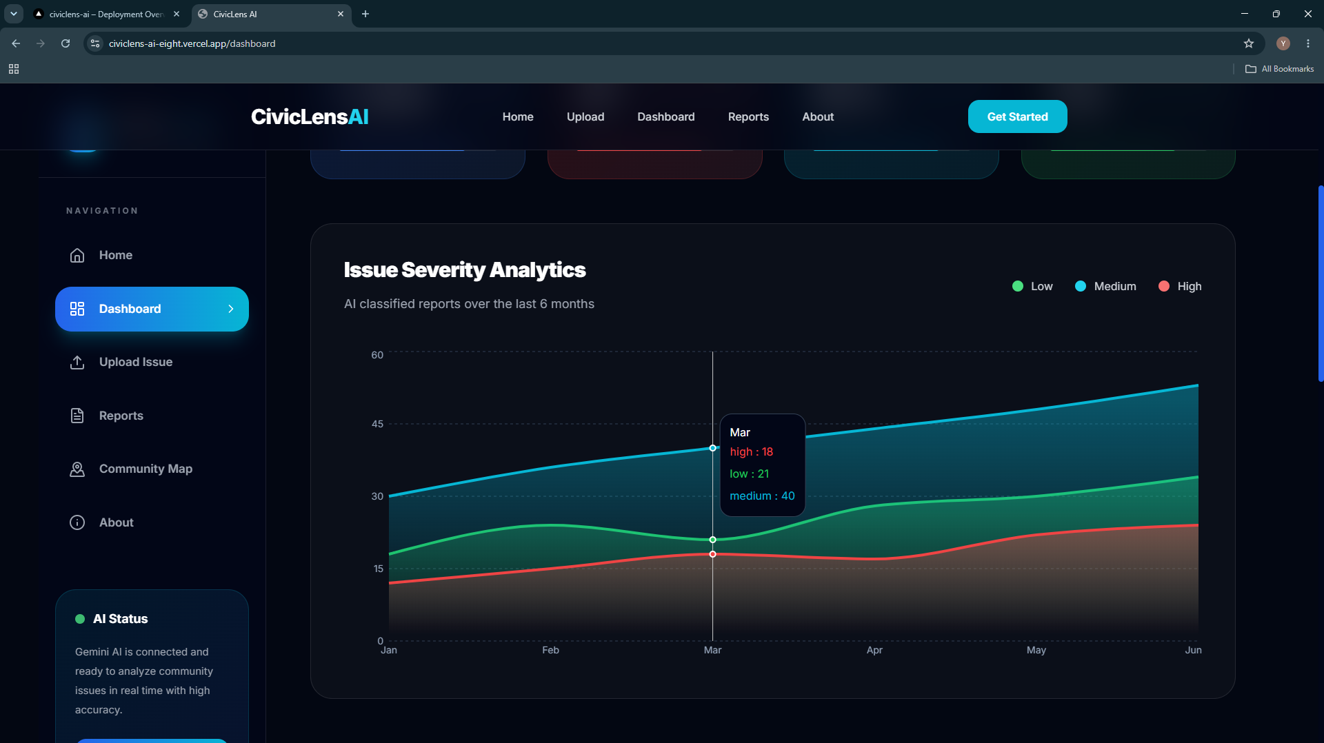
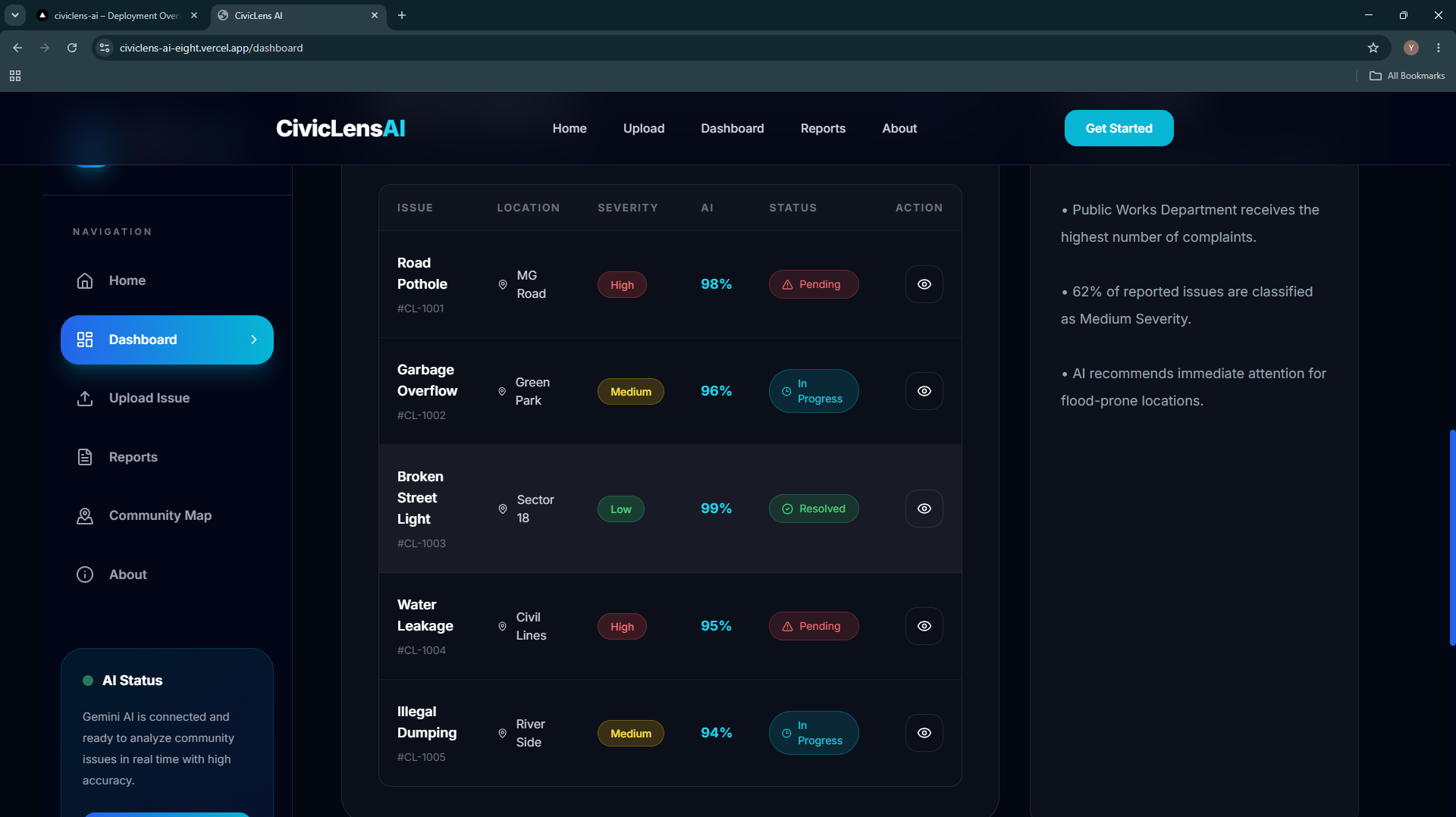
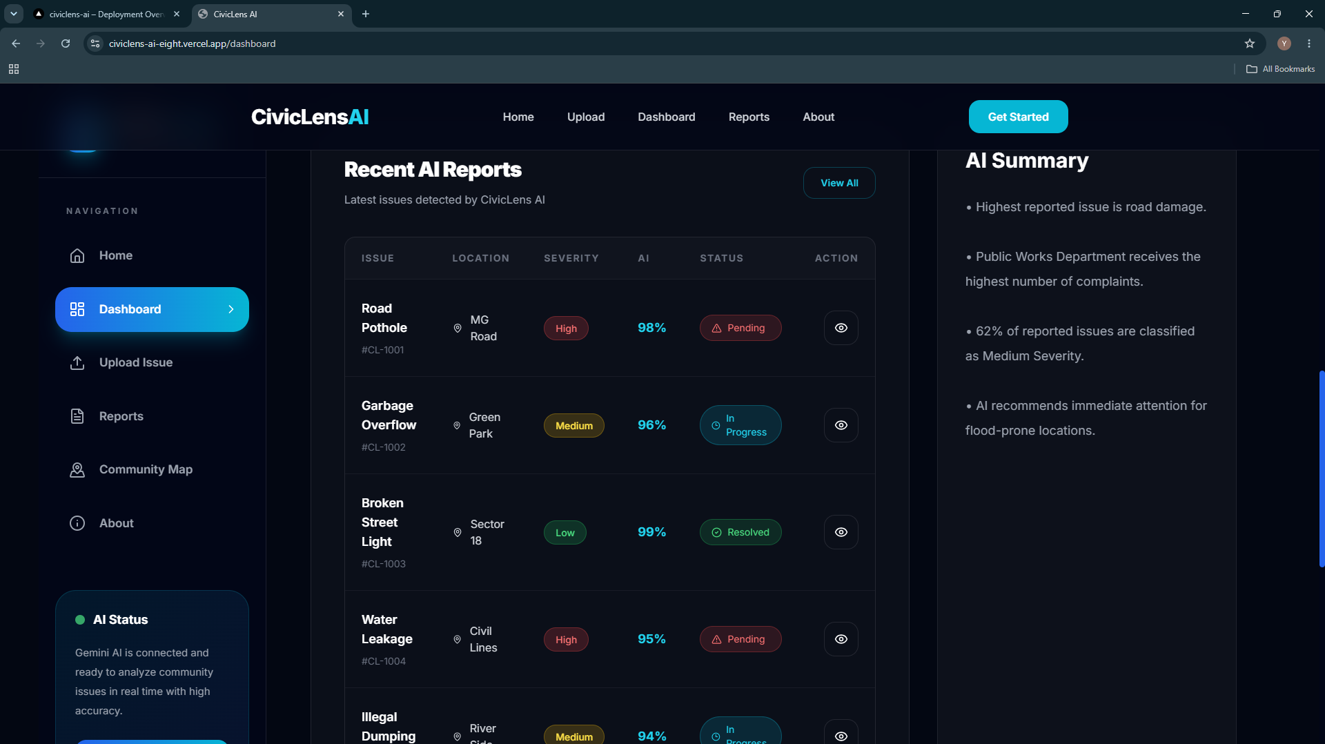
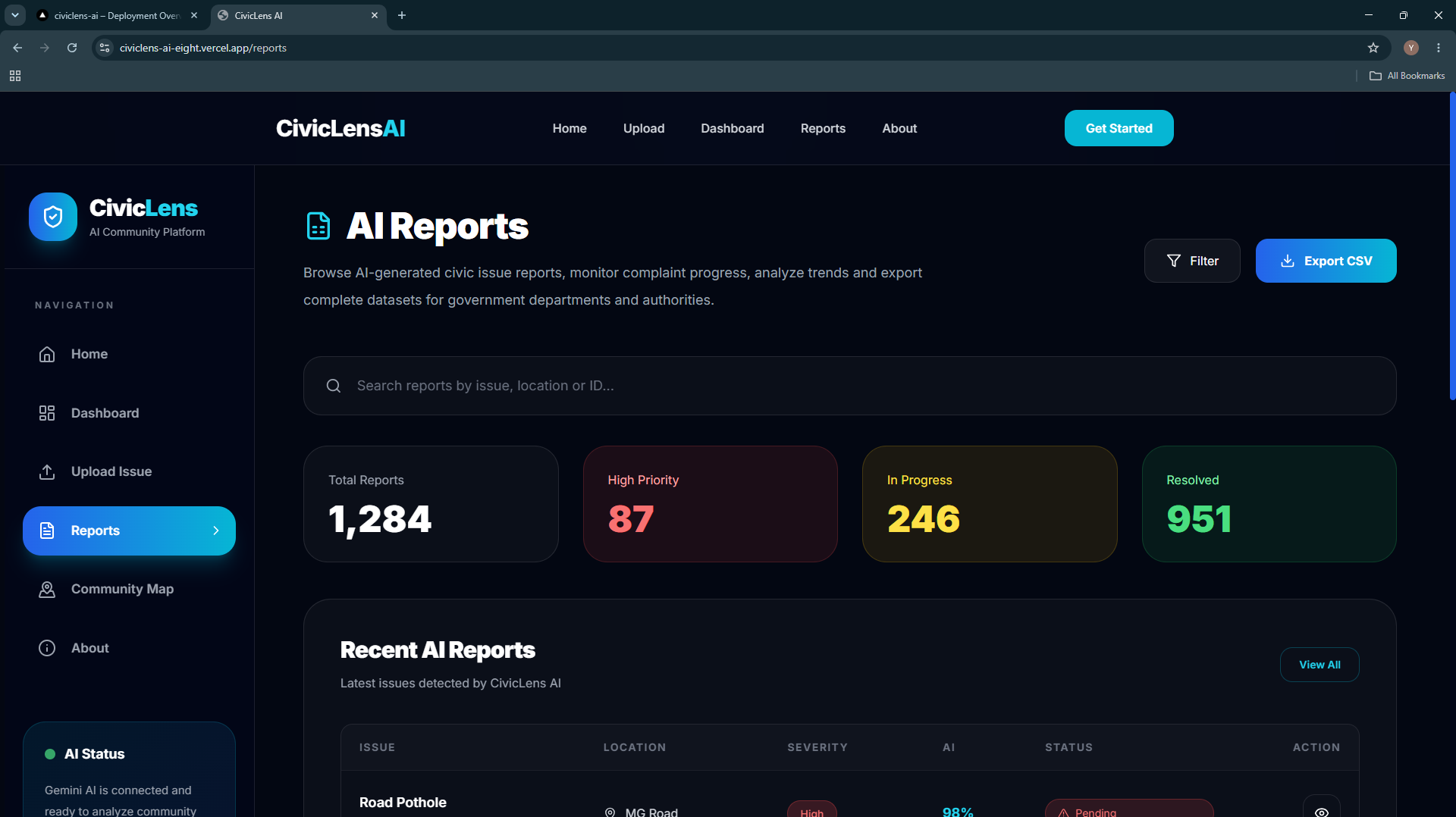
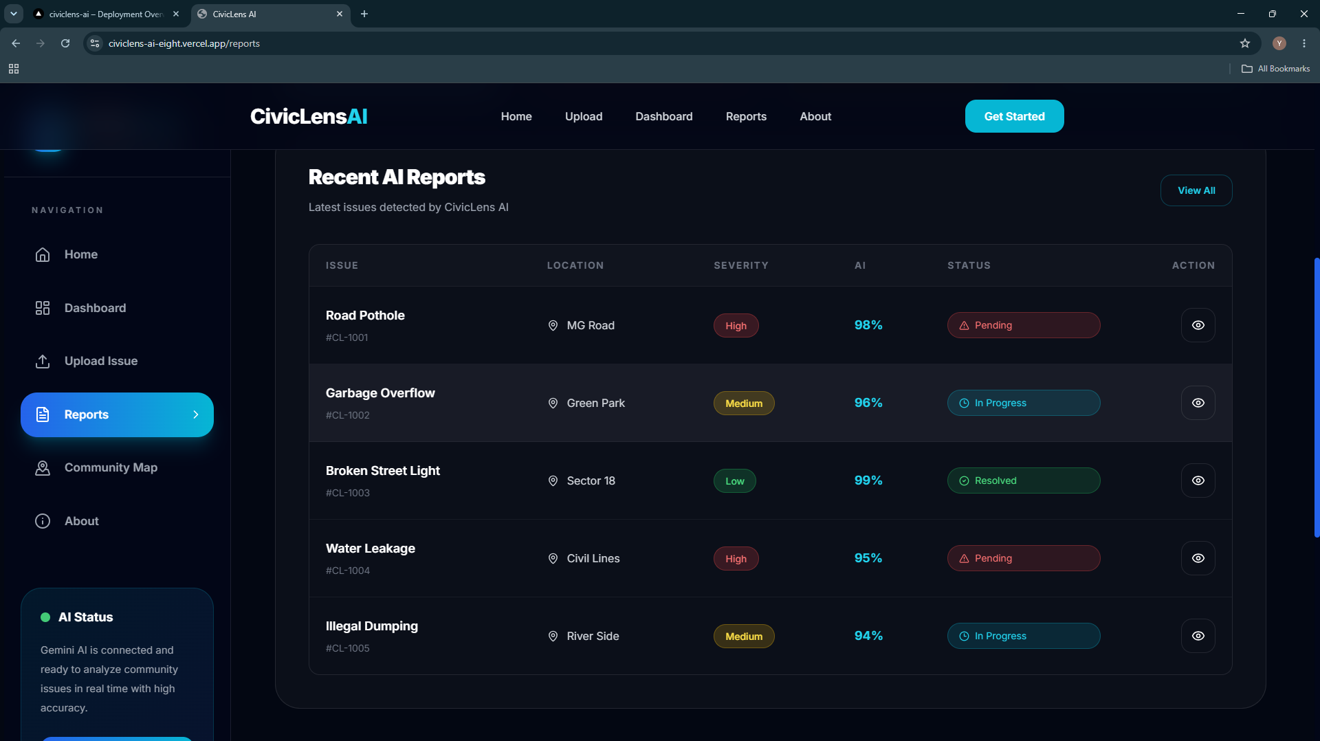
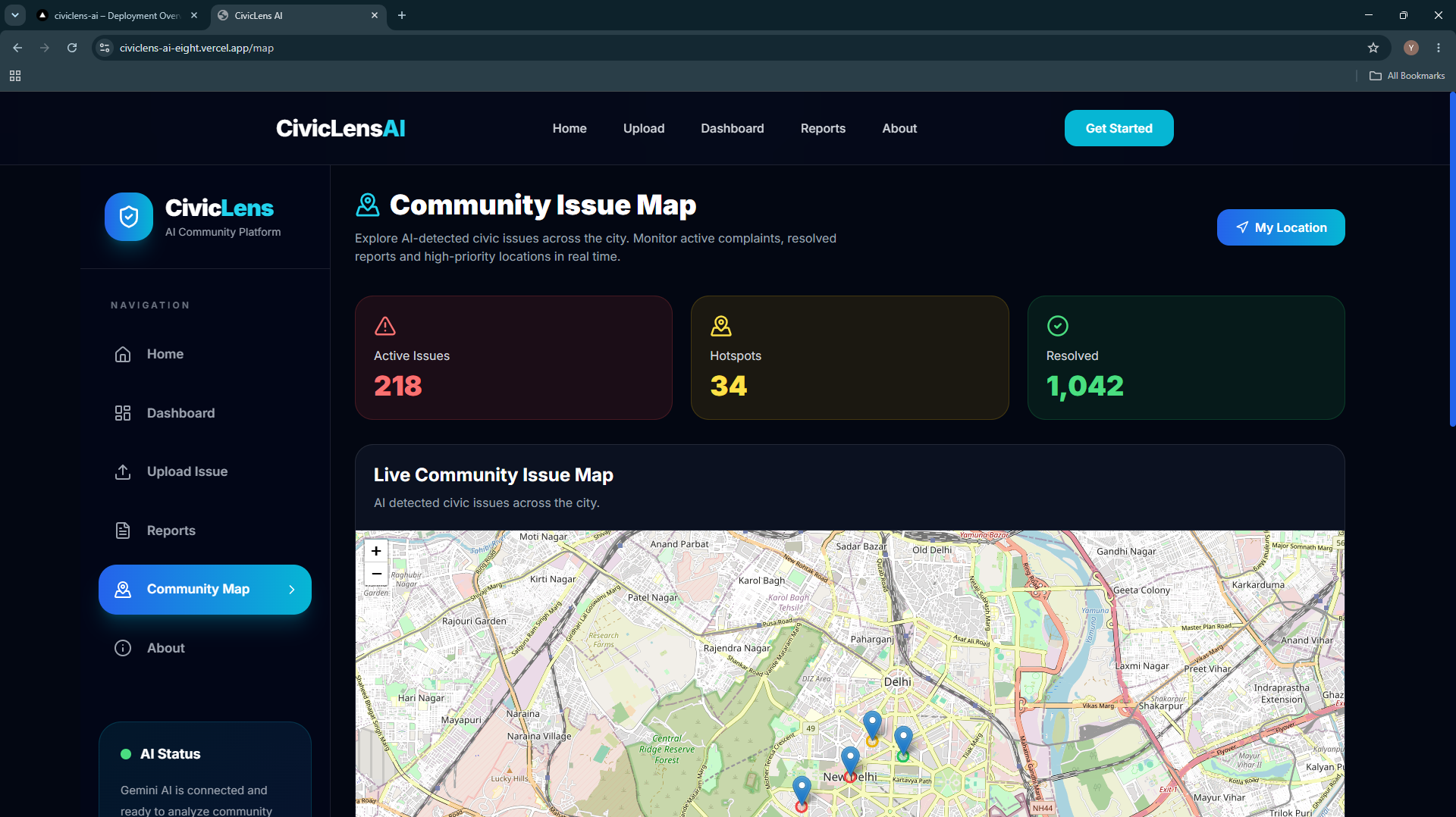
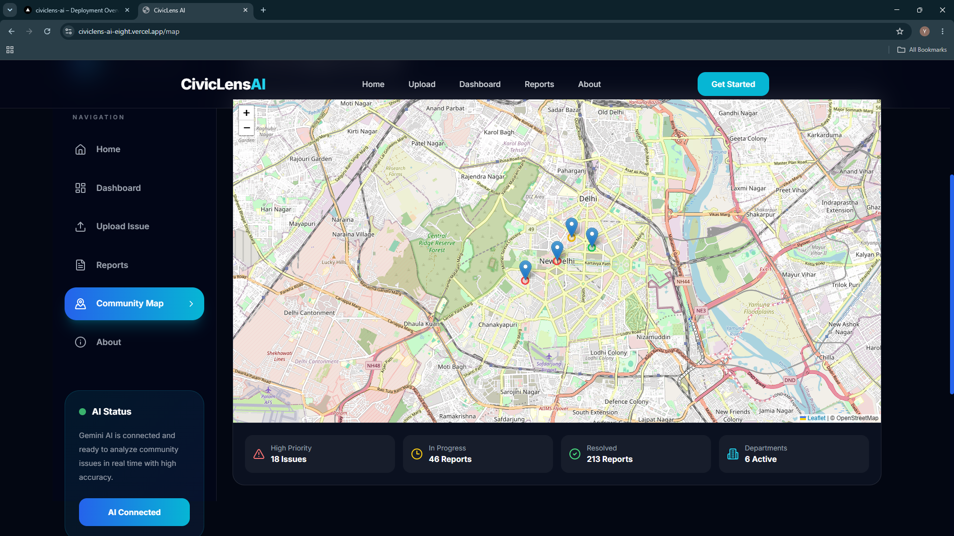
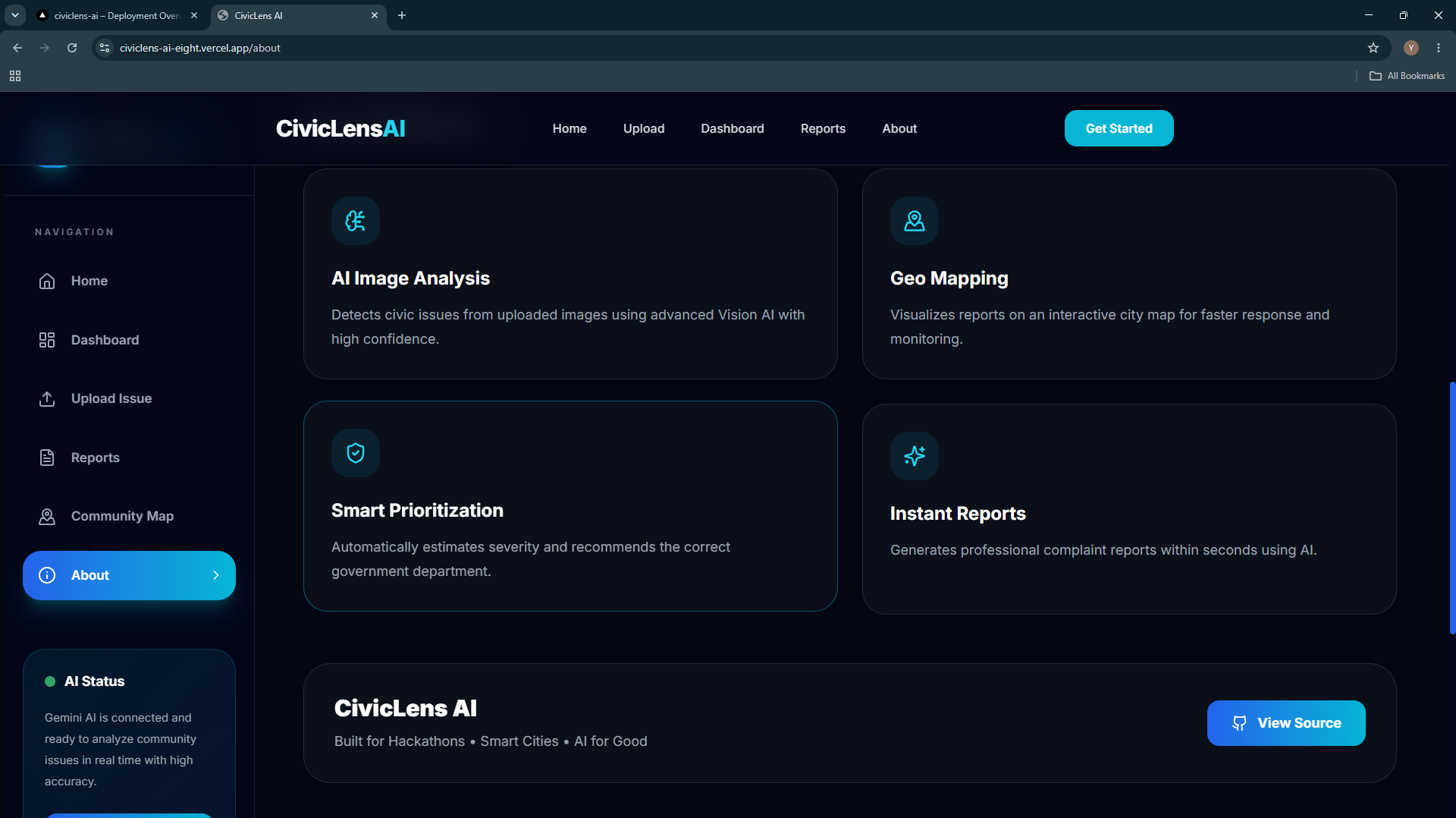
CivicLens AI allows users to upload an image of a civic issue. The AI analyzes the image, identifies the type of problem, estimates its severity, recommends the responsible government department, and generates a structured complaint report. The platform also provides an interactive community map to visualize reported issues and a dashboard with analytics to help authorities monitor trends and prioritize responses.
How we built it
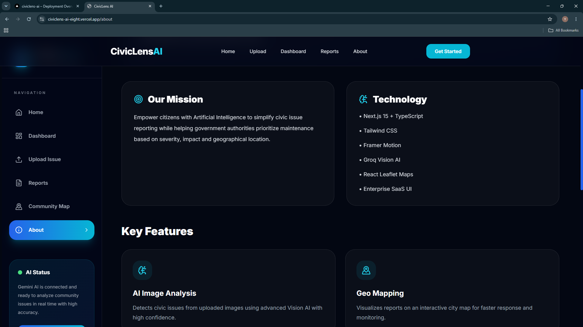
We built CivicLens AI using Next.js 15, React 19, TypeScript, and Tailwind CSS for a modern and responsive frontend. Groq AI powers image understanding and issue analysis, while React Leaflet is used for the interactive community map. The application is deployed on Vercel, providing a fast and reliable cloud-hosted experience.
Challenges we ran into
One of our biggest challenges was integrating AI-powered image analysis into a seamless user experience. We also encountered deployment issues related to server-side rendering with Leaflet maps, which required dynamic imports and client-side rendering. Ensuring responsive UI design across different devices while maintaining performance was another challenge we successfully addressed.
Accomplishments that we're proud of
Built a complete AI-powered civic issue reporting platform. Successfully integrated AI image analysis with automated reporting. Designed a clean, responsive, and modern user interface. Implemented an interactive community issue map. Created a dashboard for visualizing reports and civic analytics. Successfully deployed the application for public access.
What we learned
This project helped us gain practical experience in integrating AI into real-world applications. We learned about AI-assisted image analysis, server-side rendering challenges in Next.js, interactive mapping with Leaflet, and deploying production-ready applications on Vercel. Most importantly, we learned how technology can be used to solve meaningful public problems.
What's next for CivicLens AI
Our future roadmap includes real-time geolocation support, multilingual reporting, AI-generated repair cost estimation, live complaint status tracking, citizen authentication, and direct integration with municipal complaint management systems. We also plan to expand the platform with predictive analytics to help authorities identify high-risk areas before issues become severe, making cities more efficient, sustainable, and smarter.
Built With
- ai-automation
- artificial-intelligence
- civic-tech
- community
- computer-vision
- data-visualization
- geospatial
- govtech
- groq-ai
- image-recognition
- leaflet.js
- machine-learning
- maps
- next.js
- openstreetmap
- public-infrastructure
- react
- smart-cities
- social-impact
- sustainability
- tailwind-css
- typescript
- urban-planning
- vercel
- web-application


Log in or sign up for Devpost to join the conversation.