-
-
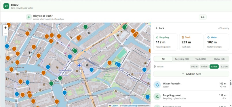
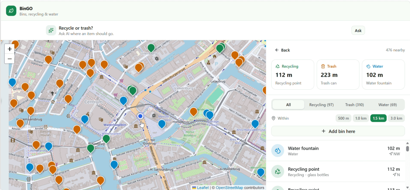
main purpose of the web app, finding close by trash cans and recycling
-
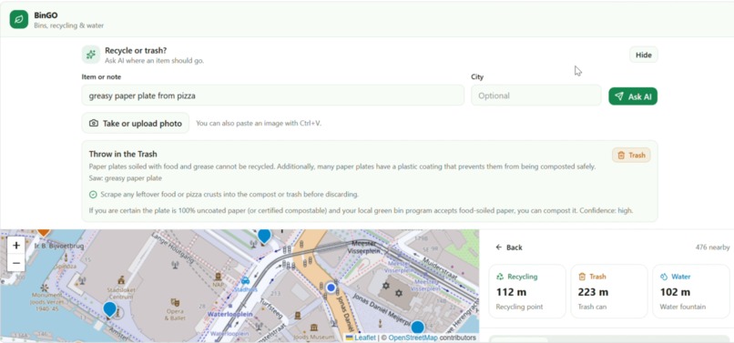
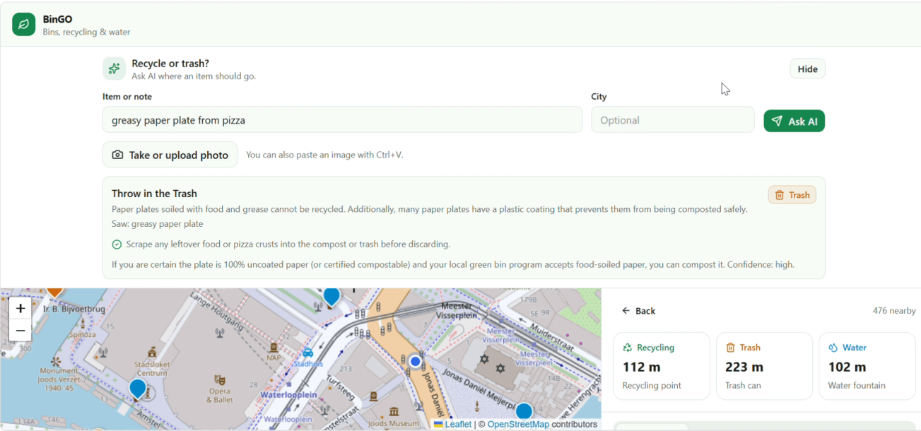
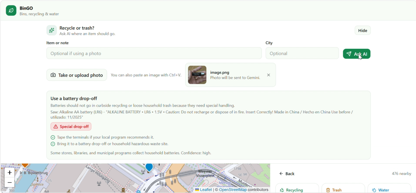
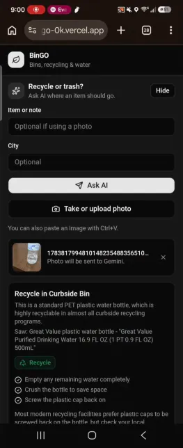
secondary purpose of the web app, asking the AI whether certain articles are better suited to trash or recycling
-
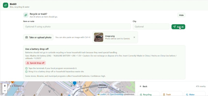
sometimes, the article will not be a good fit for either
-
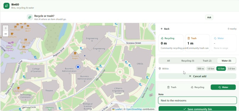
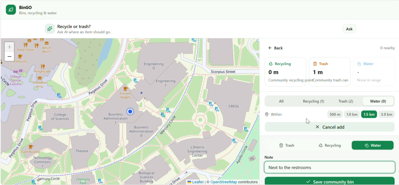
addition of local amenities to the map
-
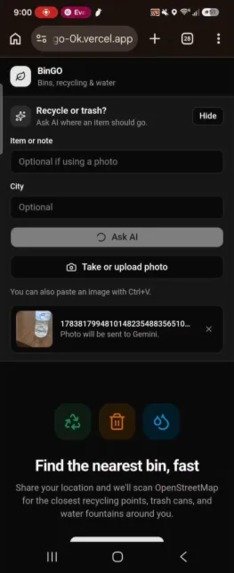
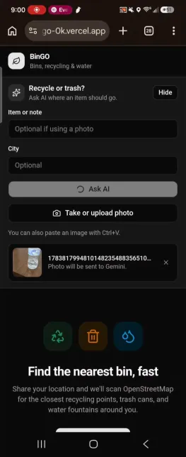
uploading of image from camera for AI to scan and review...
-
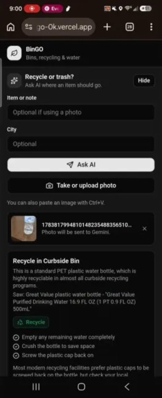
TO THE RECYCLING BIN ! :D
Inspiration
I was walking around with a water bottle in Mexico for about 20 minutes because I wanted to toss it but did not want to litter. Thinking back on that anecdote while brainstorming lead me to realize that the BinGo app is exactly what I wish I had back then!
What it does
BinGO is a web app that uses the user’s location to find nearby trash cans, recycling points, and water fountains. Its backend API sends the user’s coordinates to OpenStreetMap/Overpass to retrieve nearby amenities, then displays them on an interactive map and list. Users can select an amenity and open walking directions in a maps app such as Google Maps or Apple Maps.
BinGO also includes a Google Gemini-powered sorting assistant. If a user is unsure whether an item is recyclable, trash, compostable, or requires special disposal, they can enter a text description or provide a photo, and the assistant gives a practical recommendation with preparation steps and local-rule notes.
How we built it
- Frontend: TypeScript, React, Next.js, Tailwind CSS
- Backend: TypeScript, Next.js API Routes
- Map Data: OpenStreetMap + Overpass API
- AI Scanner: Google Gemini API
- Deployment: Vercel
Challenges we ran into
For locations without populated OpenStreetMap information about bins, naturally there will be no bins initially. But because of this we have the feature to add bins for future access, and you can leave a note, so if it is water bottles only, or maybe if you find a water fountain with crisp cool water.
What's next for BinGo
Actual databases, as currently it just saves the data for amenities locally on your browser.
Built With
- openstreetmap
- react
- tailwind
- typescript


Log in or sign up for Devpost to join the conversation.