Inspiration
During disasters, people often struggle to find nearby food, water, shelter, or medical aid. At the same time, many donors and organizations want to help but don’t know where their support is most needed. We wanted to build an accessible, AI-assisted platform that connects both sides — those seeking resources and those offering them — in real time and in a way that’s simple, inclusive, and transparent.
What it does
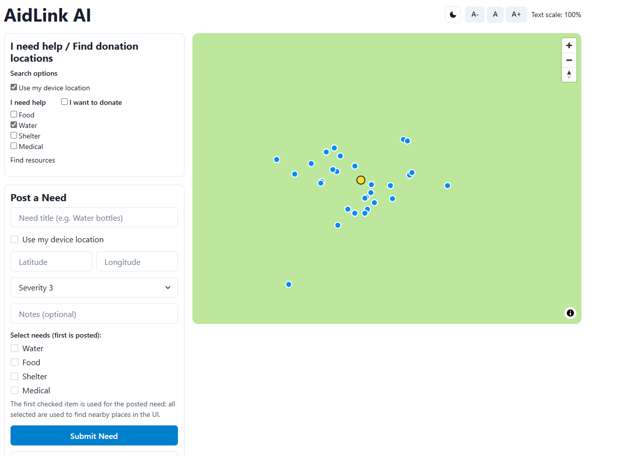
AidLink AI is an interactive web and mobile app that: Maps humanitarian resources (food banks, shelters, water points, clinics) using live OpenStreetMap data. Lets users report their needs and instantly find the nearest aid locations. Allows donors to discover verified drop-off points (like food banks or Goodwill centers) where they can donate supplies. Uses AI-powered ranking and summaries to match needs with the best nearby resources and explain why a certain match is recommended. Includes accessibility features like adjustable font size, high-contrast color themes, and simple map navigation for screen readers.
How we built it
Frontend: React + Vite + Chakra UI for a clean, responsive, and accessible interface. Mapping: MapLibre integrated with geolocation to show user positions, needs, and donation locations in real time. Backend: FastAPI (Python) with a REST API that retrieves live data from OpenStreetMap’s Overpass API for accurate resource mapping. AI Component: A lightweight recommendation engine ranks nearby aid options based on proximity, severity, and type of need. Hosting: Local prototype runs on Node and Python servers through VS Code; deployable to Vercel (frontend) and Render or Railway (backend).
Challenges we ran into
Integrating live geospatial data — OSM’s data tags vary by region, so we had to fine-tune queries to get accurate U.S. results. Debugging CORS and proxy issues between the Vite frontend and the FastAPI backend. Ensuring map markers and coordinates displayed consistently (some coordinates initially showed up “in the ocean”). Designing the UX to be clear and intuitive for both people in crisis and donors, without overwhelming them with options.
Accomplishments that we're proud of
Achieved smooth real-time linking between user needs, donations, and resource data. Implemented a UI that automatically adjusts for assistive technologies. Created a prototype that could genuinely help communities coordinate aid during emergencies.
What we learned
How to combine geospatial APIs (Overpass, OpenStreetMap) with AI-driven logic in a web app. The importance of UX accessibility in crisis-response tools — small details like button contrast and map labeling make a huge difference. Practical experience managing frontend-backend synchronization across multiple environments (Vite + FastAPI). That solving humanitarian problems requires not just technology, but empathy and careful design thinking.
What's next for AidLink AI
Integrate real disaster data feeds (e.g., FEMA or Red Cross) for verified alerts. Add a mobile PWA version for offline access in low-connectivity zones. Expand AI features to suggest optimal drop-off or delivery routes for aid. Partner with local NGOs and campus organizations to pilot the platform in real-world scenarios. Launch as an open-source project for universities and humanitarian groups to adopt and extend.
Built With
- fastapi
- google-maps
- javascript
- openstreetmap
- python
- uvicorn

Log in or sign up for Devpost to join the conversation.