-
-
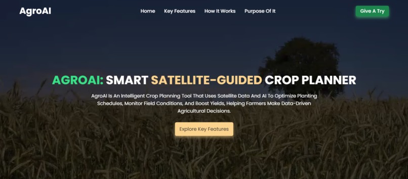
Homepage with buttons: Home, Key Features, How It Works, Purpose of It, and a bold ‘Give it a Try’ call-to-action.
-
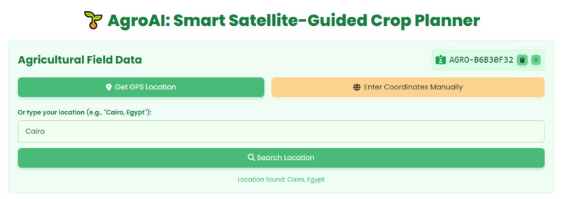
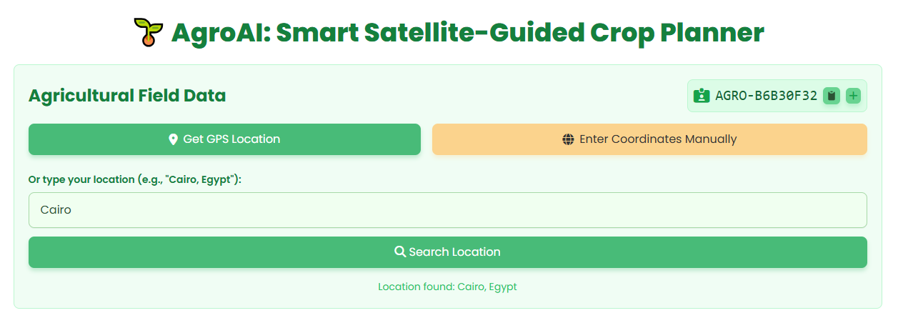
App start screen lets you choose to get your location directly or manually select it for analysis.
-
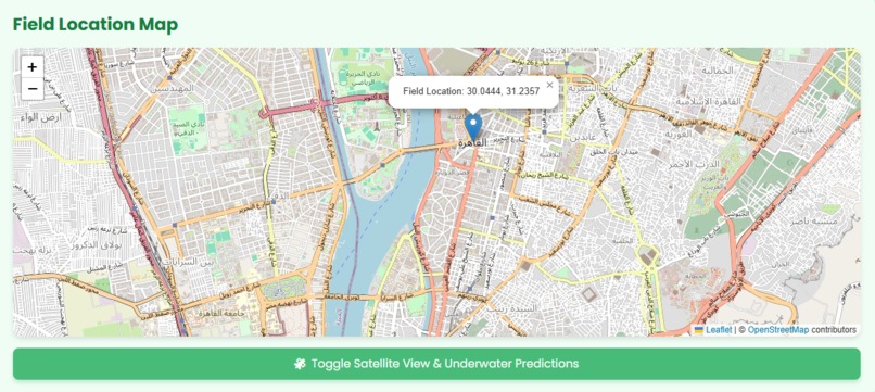
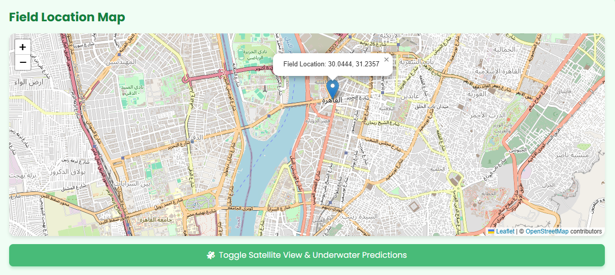
Interactive map displayed on the app showing Egypt, focused on the Cairo region for location-based analysis.
-
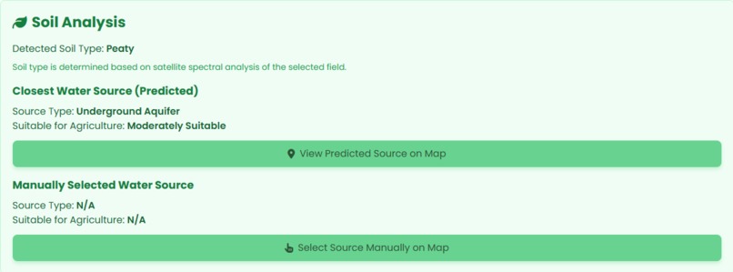
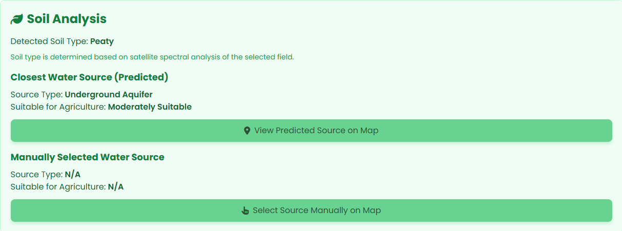
AI predicts water sources and suitable crops; users can also add or edit data manually.
-
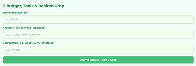
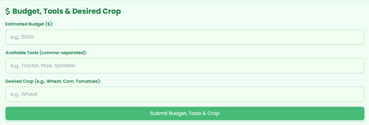
Users enter budget, available tools, and desired crops to get personalized AI-driven farming recommendations.

Inspiration
It all started during a school trip when we noticed rows of withered plants lining farmlands. Shocked by how widespread this was, we asked our biology teacher about the cause. He explained how many farmers lack tools to predict the right planting seasons or receive climate warnings, leading to devastating crop losses. That moment planted a seed in us: What if we could create an AI-powered tool to guide farmers and help them succeed?
What it does
Agro AI guides farmers step-by-step in choosing the right crops for their land. Using GPS and satellite data, it identifies water sources and soil types. Farmers input their budget, available tools, and preferred crops. Then, our AI analyzes everything to recommend:
The best crops to plant.
A planting calendar (month by month).
Climate risks like droughts, frosts, or heatwaves.
It’s like having a smart agricultural advisor in your pocket—one that even works offline for remote farmers with limited connectivity.
How we built it
The road wasn’t easy. First, we built an interactive map with Leaflet.js and Esri satellite tiles to visualize farmlands. Then, we connected APIs to fetch soil, weather, and water data. For the AI, we trained a recommendation model on climate and crop yield datasets. Finally, we added a service worker so Agro AI works offline once downloaded—a crucial feature for farmers in underserved areas.
Challenges we faced
Every step had its hurdles:
Running multiple APIs in one project pushed our limits.
Connecting interactive maps with real-time user inputs was harder than we imagined.
Learning machine learning from scratch felt overwhelming at times.
But we kept going, motivated by the impact this tool could make.
Accomplishments that we're proud of
Building a fully offline app for regions without constant internet access.
Designing a user-friendly platform that serves farmers in Africa and beyond.
Integrating AI, GIS maps, and community needs into one seamless experience.
What we learned
How to combine geospatial tools, APIs, and AI into a meaningful solution.
The importance of offline-first design for solving real-world problems.
Interdisciplinary teamwork can overcome technical and knowledge gaps.
What's next for Agro AI: Smart Satellite-Guided Crop Planner
Collaborate with governments and NGOs to scale its impact.
Train the AI on more complex, region-specific datasets for even smarter recommendations.
Build mobile apps and add multilingual support to empower farmers everywhere.
Our journey started on a dusty road lined with dead plants—but we’re determined to help farmers worldwide turn their fields green again.


Log in or sign up for Devpost to join the conversation.