-
-
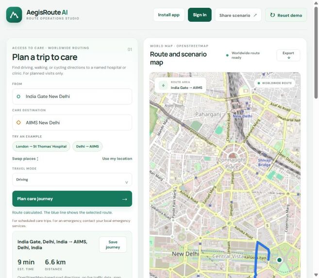
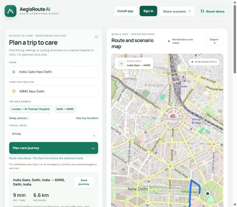
Live India Gate to AIIMS mapped care route in the AegisRoute AI prototype.
Inspiration
Getting to scheduled care involves a practical journey: finding a hospital or clinic, seeing a route, and understanding how a road disruption might change that trip. AegisRoute AI is a prototype that brings those ideas together while keeping its real-world route planning separate from its simulated road scenarios.
What it does
- Plan a driving, walking, or cycling trip to a named care facility anywhere route data is available.
- Display a mapped route, distance, and estimated travel time.
- Let signed-in users save journeys to their accounts.
- Explore a Bengaluru road network simulator where sample congestion or closures change the recommended path.
- Demonstrate a scikit-learn Random Forest model trained on generated road-speed examples in the companion Python simulator.
How we built it
The installable web app uses HTML, CSS, JavaScript, and Leaflet. OpenStreetMap provides map data; OpenRouteService provides place search and route directions through a Cloudflare Worker that keeps the provider key out of the browser. Firebase Hosting serves the site, and Firebase Authentication and Firestore support sign-in and saved journeys. The companion simulator uses Python and NetworkX for the synthetic road graph and scikit-learn for its generated-data model.
Challenges and learning
A key challenge was making the distinction clear between mapped directions and simulation. Worldwide directions are based on available OpenStreetMap road data and do not include live traffic. The Bengaluru road graph, closure events, training examples, and model estimates are synthetic. The browser forecast also uses generated patterns. These demonstrations are not clinical or traffic validation.
Next steps
With appropriate partners and validated data, future work could evaluate route accessibility, incorporate verified disruption information, and test the experience with people planning routine care. This prototype is for planned trips only; it is not emergency navigation or medical advice.
