What Inspired Me
In Lahore, the shortest route is often the most unusable one for wheelchair users.
Most navigation apps only optimise for distance or time. For someone using a wheelchair, that approach regularly leads to stairs, missing curb ramps, broken pavement, or forces them onto a busy road.
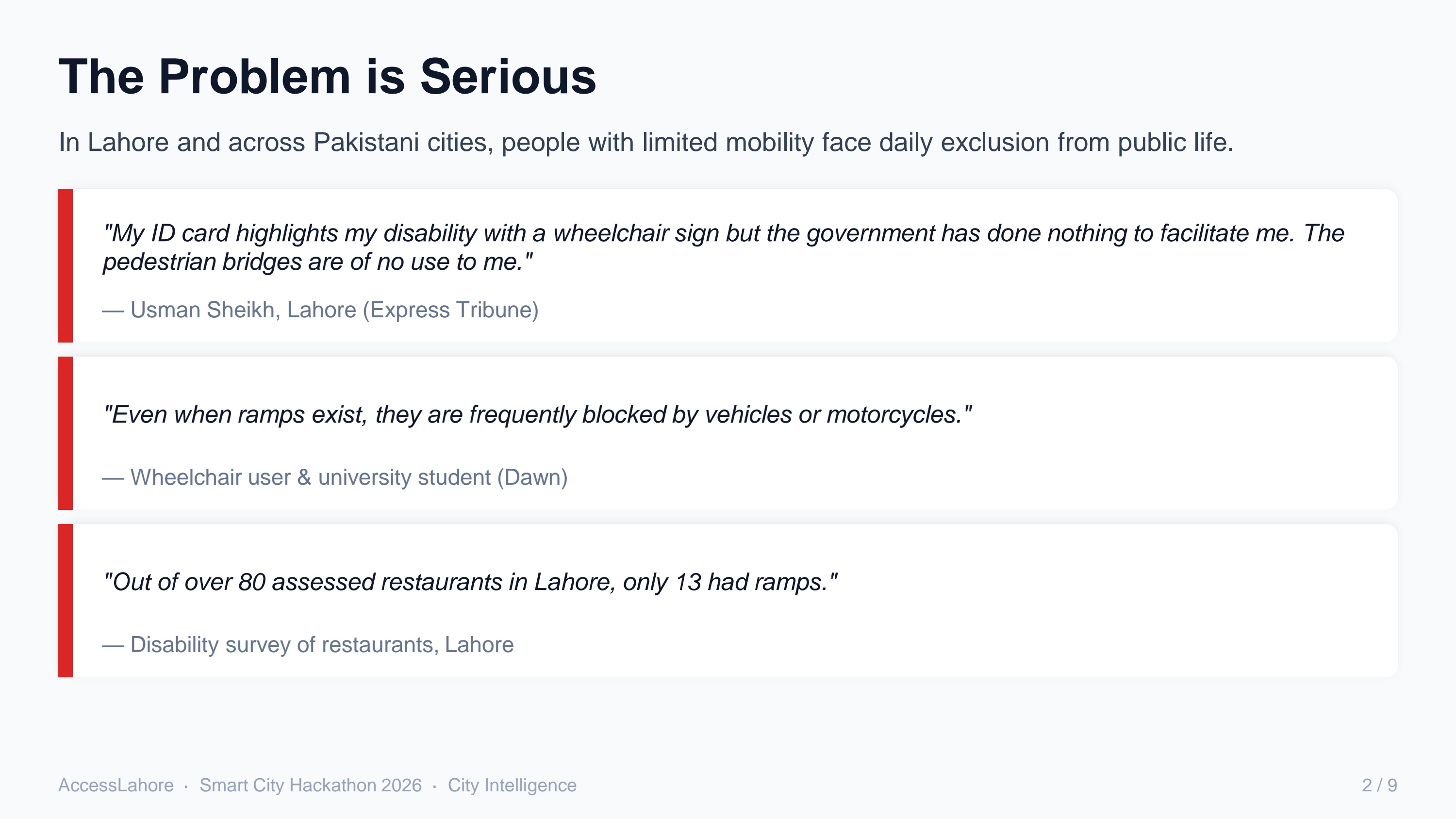
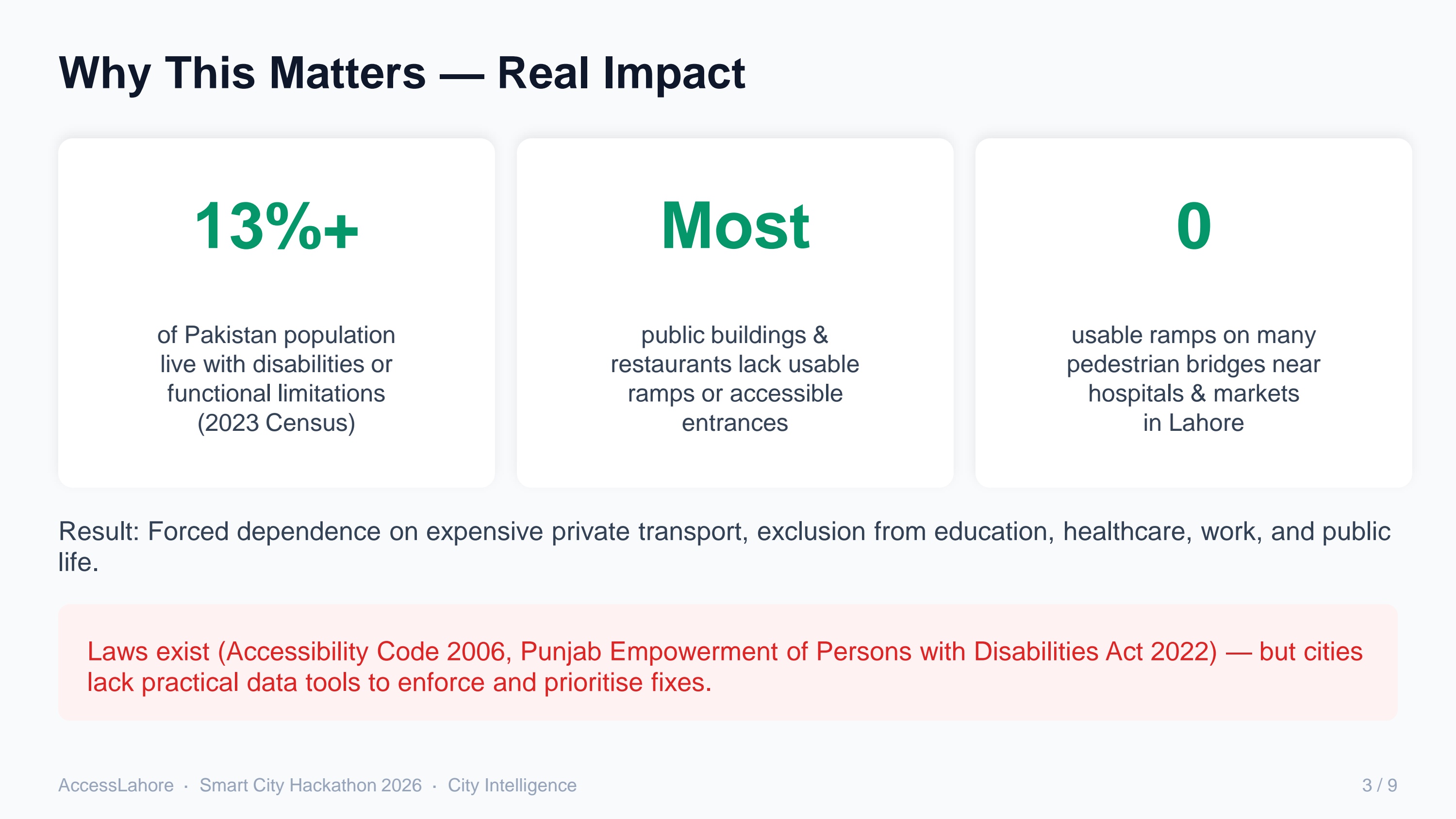
I kept hearing the same things from people around the city — pedestrian bridges are useless to them, most public buildings still don’t have proper ramps. The laws exist, but there’s almost no practical data to show where the barriers actually are or what should be fixed first.
That gap is what pushed me to build AccessLahore.
How I Built It
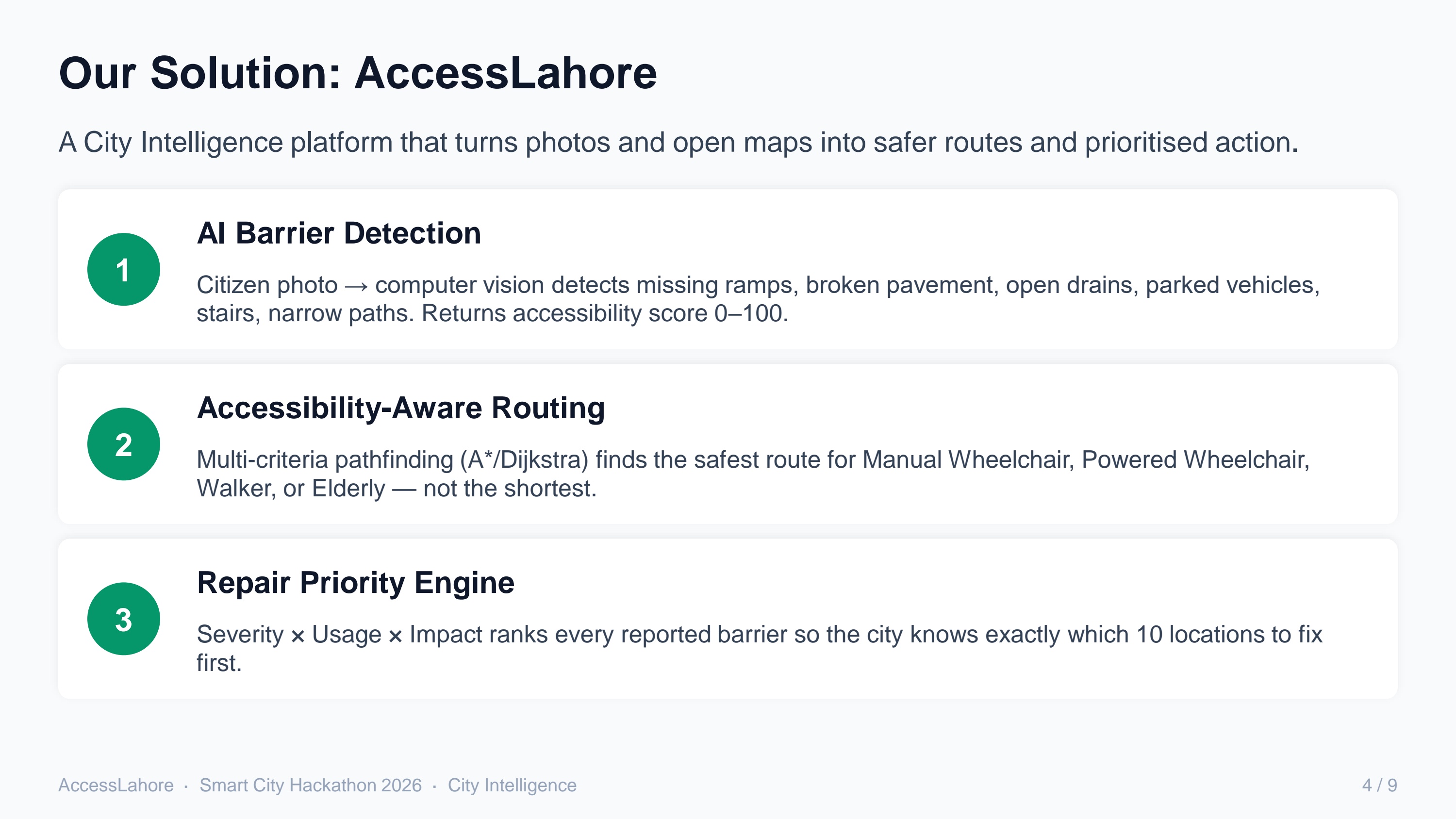
I designed the system around three clear layers:
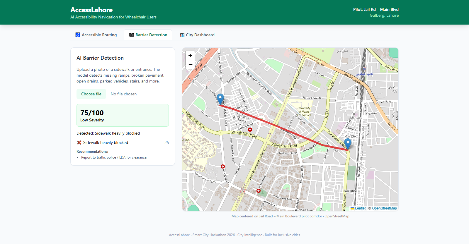
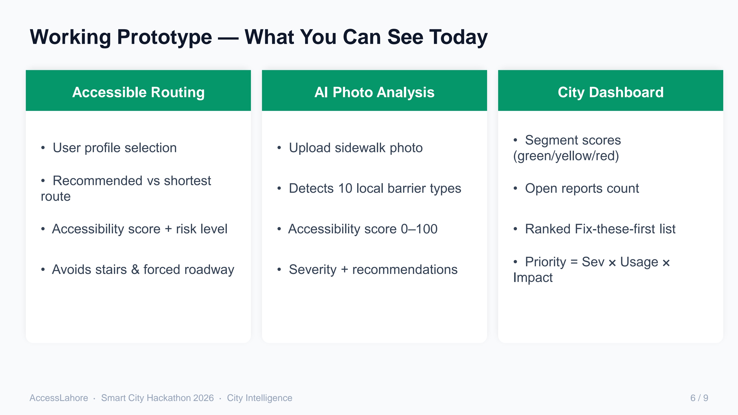
AI Barrier Detection
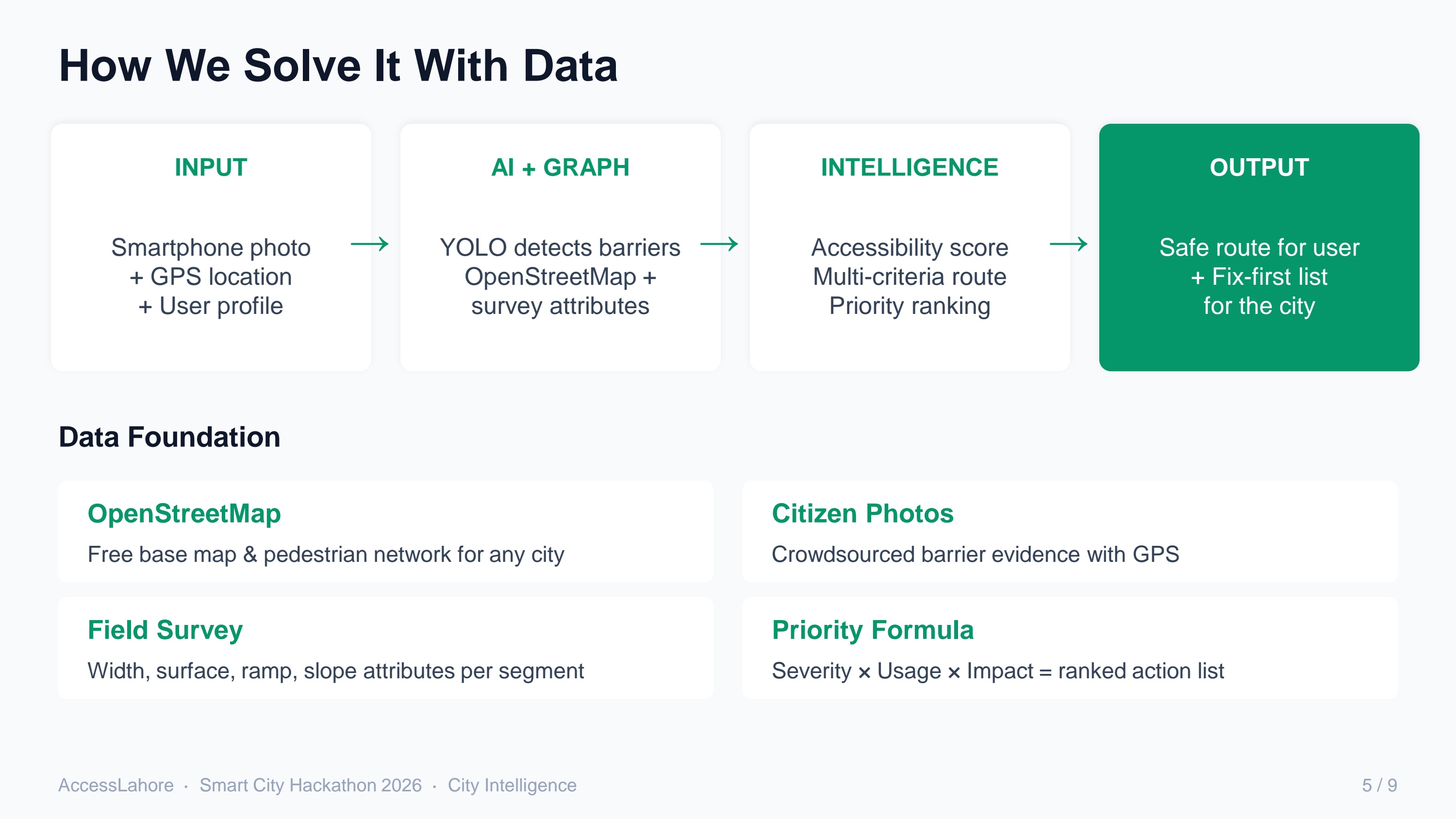
Someone uploads a photo. The model looks for the common barriers you actually see in Lahore — missing ramps, broken surfaces, open drains, stairs, cars parked on the sidewalk, narrow paths — and gives an accessibility score from 0–100.Accessibility-Aware Routing
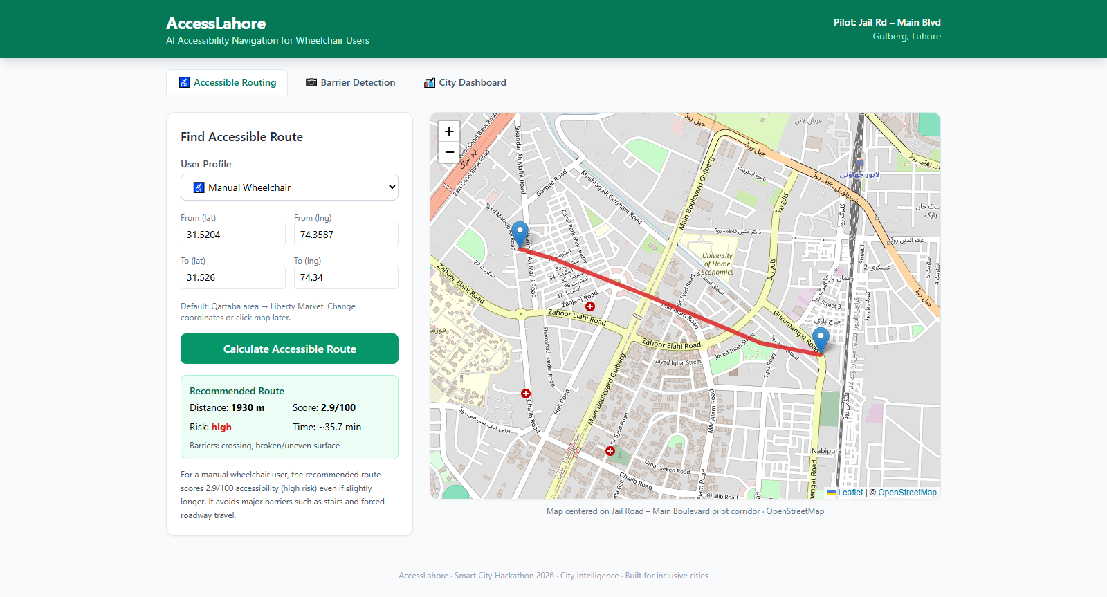
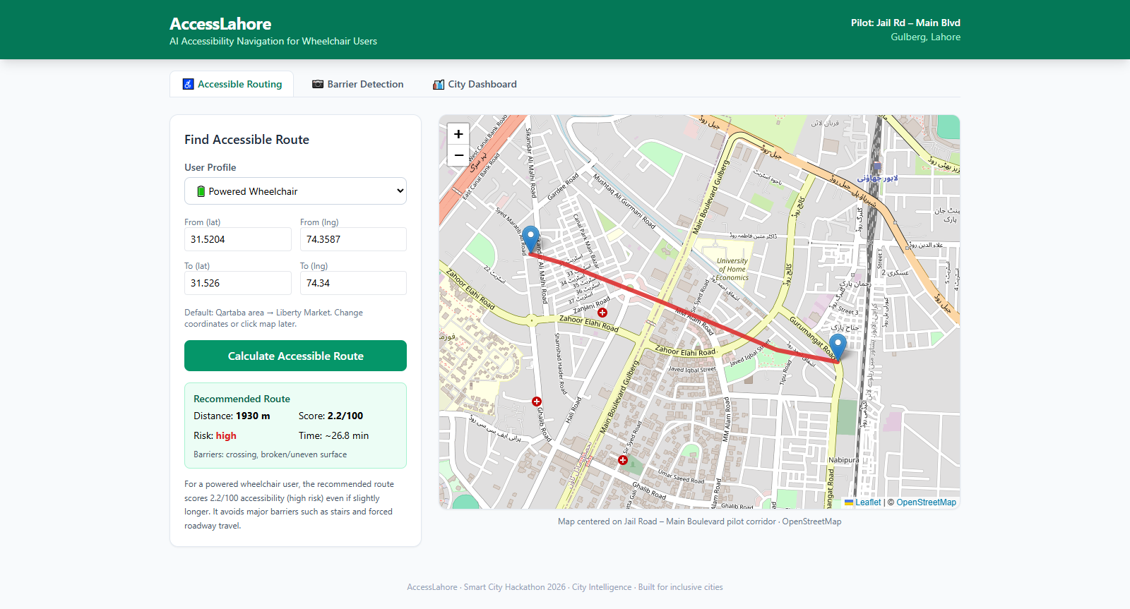
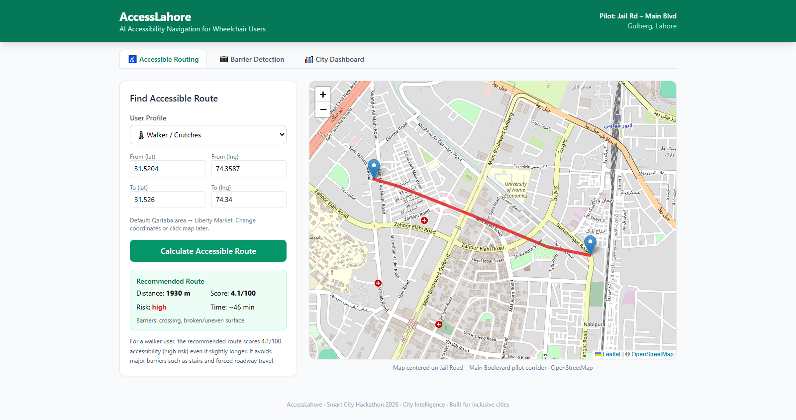
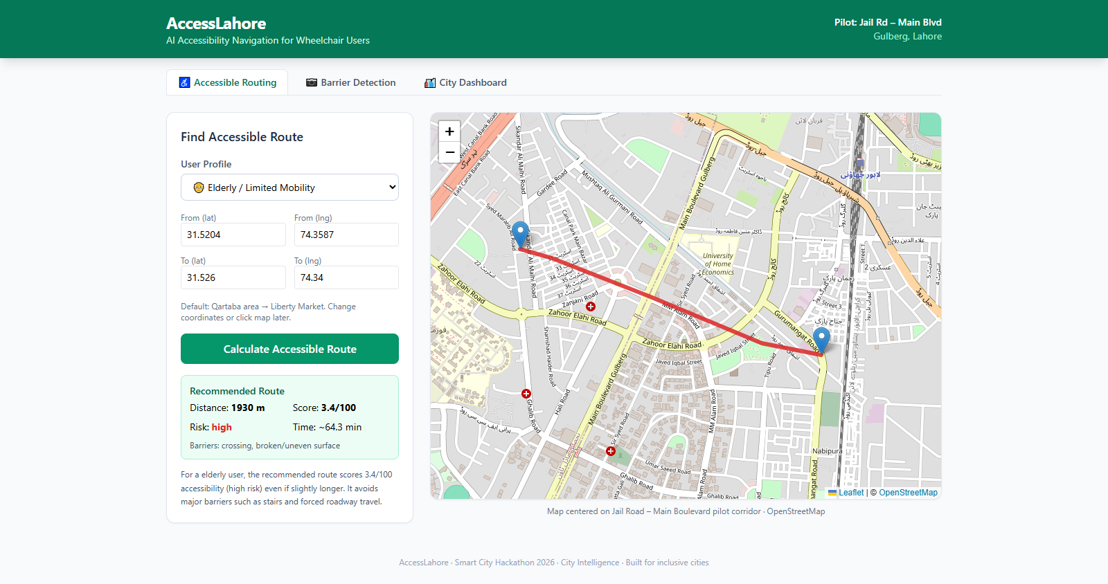
Instead of only calculating the shortest path, I built multi-criteria pathfinding (A*/Dijkstra) with different cost functions for Manual Wheelchair, Powered Wheelchair, Walker, and Elderly profiles. The system prefers continuous sidewalks and safer surfaces even when the route ends up a bit longer.Repair Priority Engine
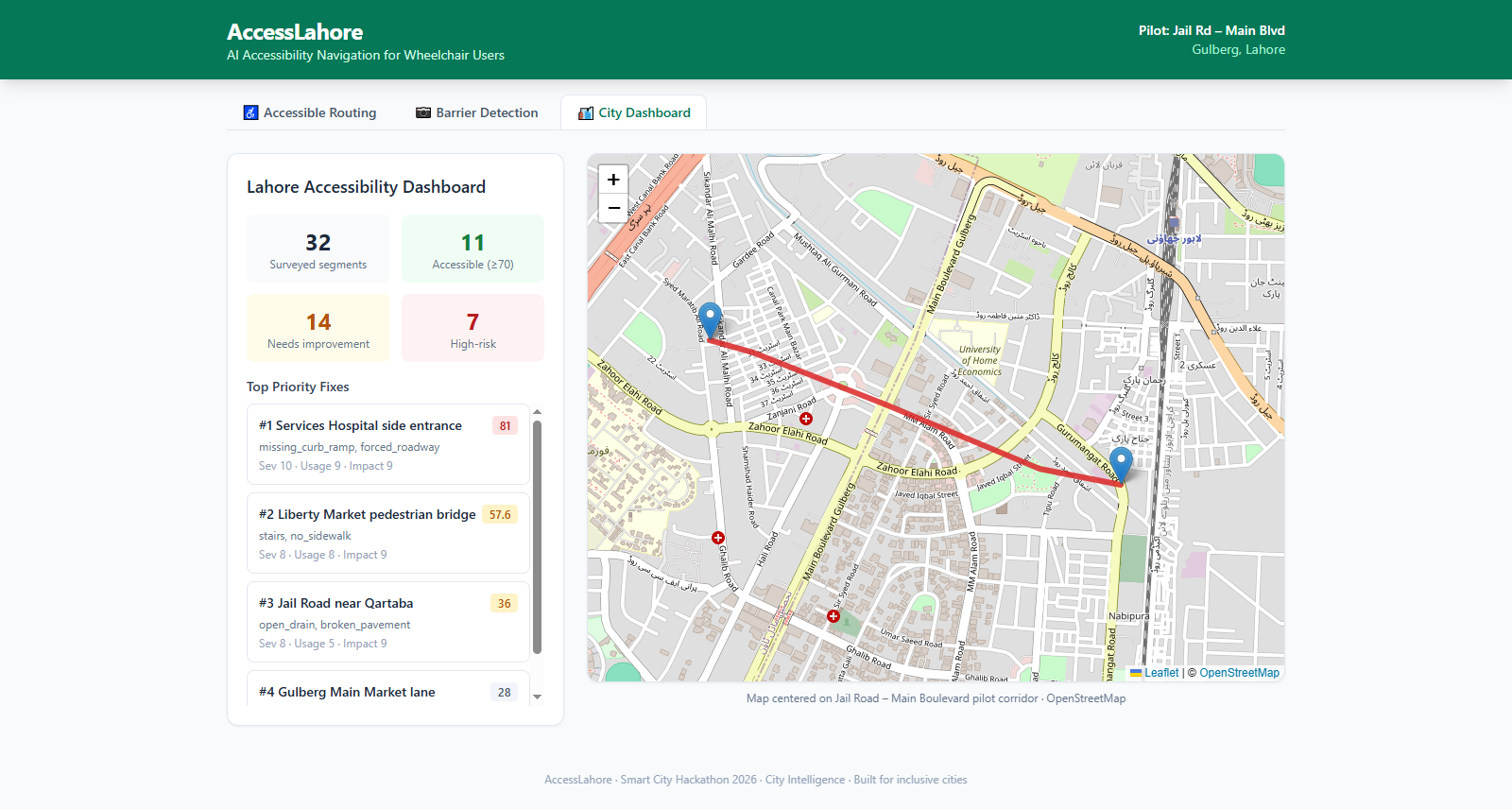
Every reported barrier gets ranked with a simple formula:
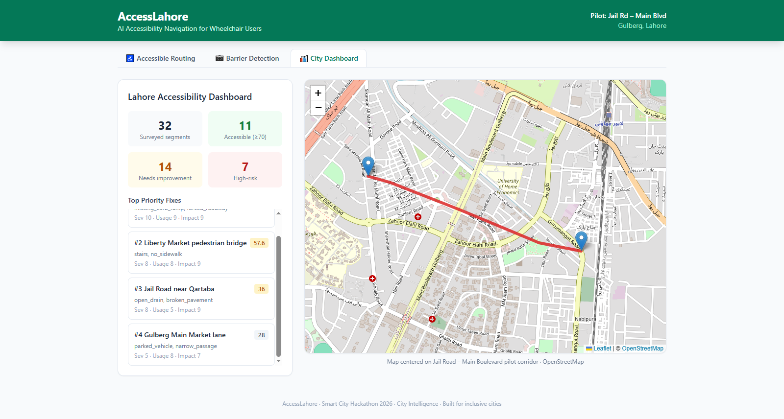
Priority Score = Severity × Usage × Impact
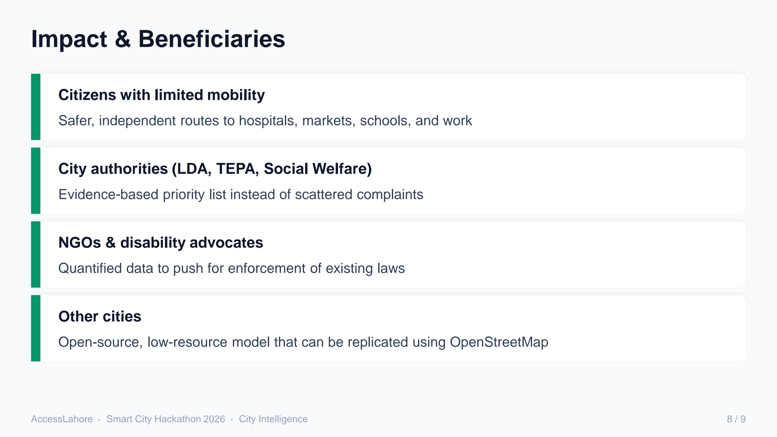
This gives city authorities a clear “fix these locations first” list.
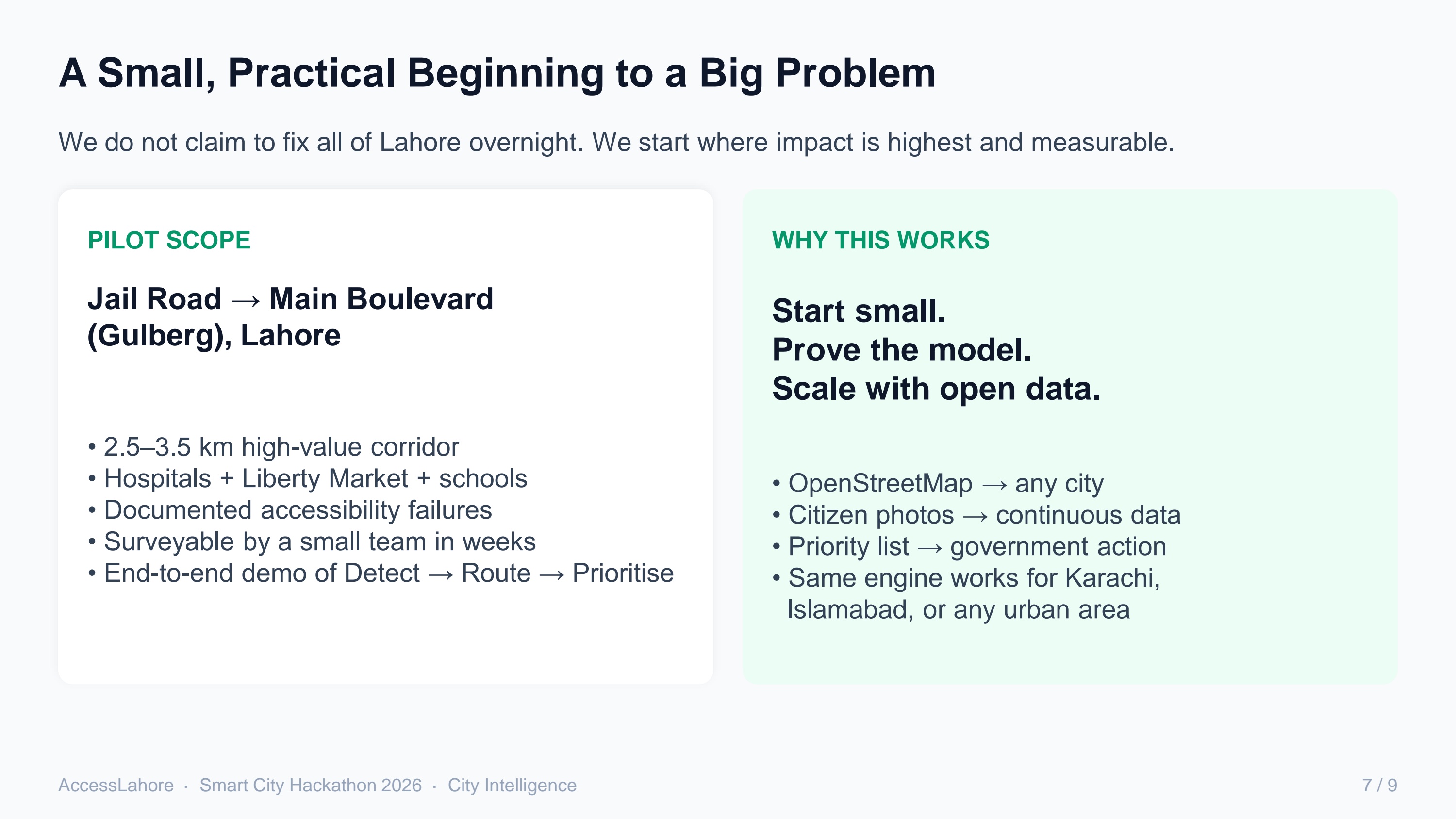
I scoped the first version to the Jail Road – Main Boulevard corridor in Gulberg. It has hospitals, Liberty Market, schools, and heavy pedestrian traffic, so it felt like a practical place to prove the full Detect → Route → Prioritise cycle. The base map comes from OpenStreetMap and is enriched with survey attributes and citizen reports.
What I Learned
- The shortest route is frequently the least usable one for people with limited mobility.
- Clean, structured data matters more than complicated algorithms.
- OpenStreetMap makes it realistic to start small while still designing for other cities.
- Accessibility is both a technical problem and a prioritisation problem.
Challenges I Faced
- Almost no public accessibility data exists for Lahore sidewalks, so I had to design a system that can grow from limited survey data through citizen photos.
- Building a strong computer-vision model needs a lot of local images. For the prototype I used a realistic detector while preparing the path for a fine-tuned YOLOv8 model.
- “Safe” means different things for different users, so I had to create separate cost functions instead of a single shortest-path algorithm.
- I wanted the whole solution to stay lightweight and usable with modest resources.
Despite these constraints, I now have a working prototype that shows the complete flow from photo to safer route to prioritised action list.
AccessLahore is my attempt to turn everyday photos and open maps into practical tools that make cities more navigable for everyone.
Built With
- css
- fastapi
- leaflet.js
- networkx
- next.js
- openstreetmap
- python
- react
- tailwind
- yolov8

Log in or sign up for Devpost to join the conversation.