
Inspiration
Traditional cadastral systems are largely based on 2D maps and disconnected property records, while modern cities are inherently three-dimensional. We wanted to bridge this gap by creating a system where land, buildings, floors, and individual property units could be understood together in a single interactive environment.
What it does
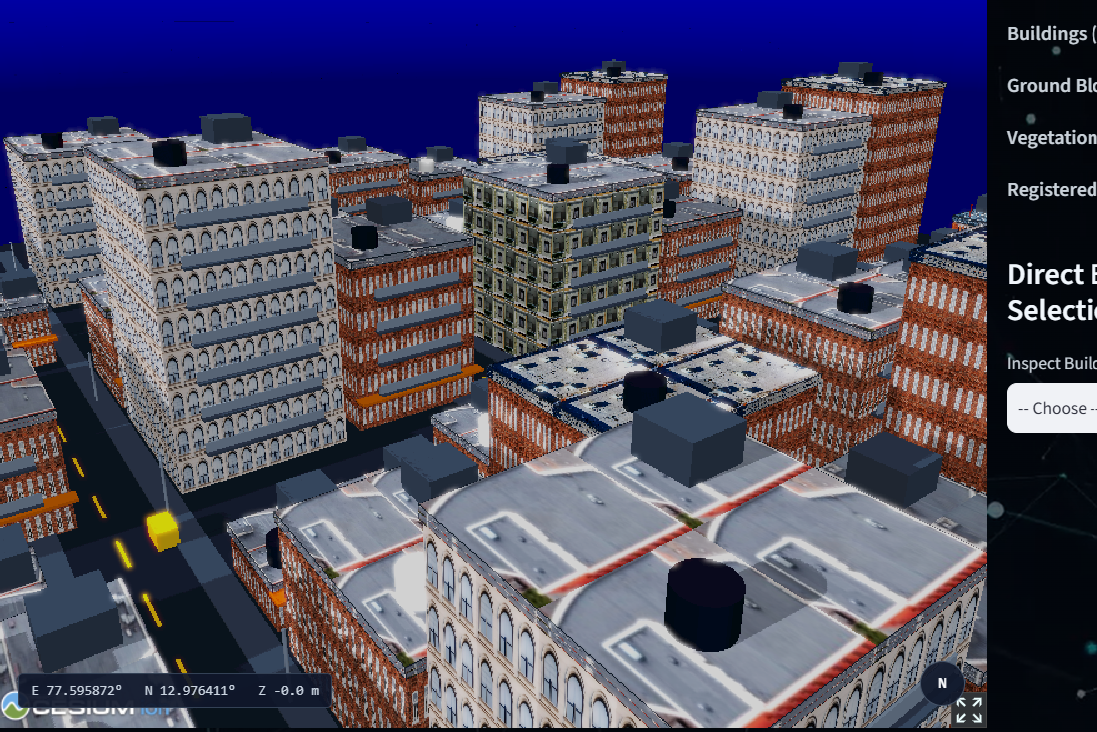
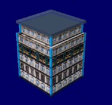
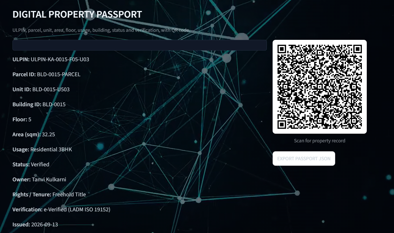
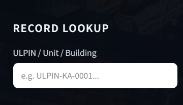
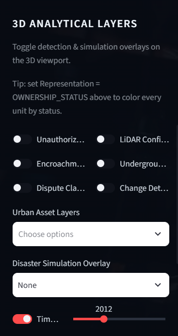
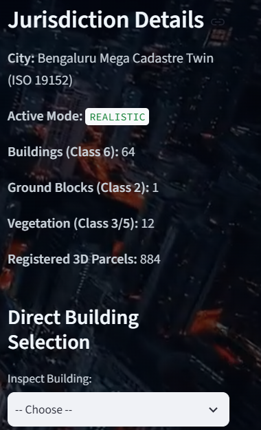
Our 3D Cadastral System creates an interactive digital twin of an urban area. Users can explore buildings in 3D, select individual structures, navigate through floors and property units, and connect them with cadastral information such as ULPIN and LADM-based property data.
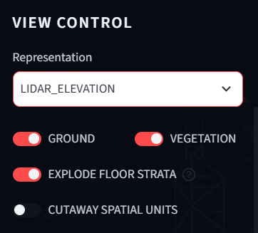
It can also support QR-based property identification, visualization of underground/basement levels, and structured property management.
How we built it
We built the prototype using Python and Streamlit, combining geospatial processing, 3D modelling, and interactive visualization. LiDAR/geospatial data is processed to identify and represent buildings and their structures, while cadastral information is organized into a hierarchy of City → Building → Floor → Property Unit.
CesiumJS is used to provide an interactive 3D geographic environment, allowing users to explore the digital twin spatially.
Challenges we ran into
One of the biggest challenges was converting complex geospatial and cadastral information into a format that could be easily explored by non-technical users.
We also faced challenges with 3D visualization, integrating different data sources, representing multiple floors and property units, and keeping the system lightweight enough for a working prototype.
Accomplishments that we're proud of
We successfully moved beyond a traditional 2D property map and created a working 3D cadastral concept where users can interact with buildings spatially.
We are particularly proud of the hierarchical property model, interactive 3D visualization, ULPIN/QR integration, and the ability to connect physical spaces with their underlying cadastral information.
What we learned
We learned that 3D cadastral systems require more than just 3D modelling. Spatial geometry, property relationships, legal information, visualization, and data standards all need to work together.
We also gained practical experience with geospatial processing, 3D visualization, cadastral data modelling, and integrating multiple technologies into a single application.
What's next for 3D CADASTRAL SYSTEM
Our next goal is to make the system production-ready by integrating real government cadastral datasets, PostGIS, automated building and floor extraction, and more accurate LiDAR/drone-based reconstruction.
We also plan to add stronger LADM compliance, automated ULPIN generation, property ownership workflows, taxation integration, DWG/3D exports, and large-scale city deployment.
Ultimately, we want to transform cadastral records from static 2D documents into a living 3D digital twin of urban property.
Built With
- 3d
- ai
- cesiumjs
- cities
- codes
- geoai
- geospatial
- gis
- lidar
- modeling
- openstreetmap
- planning
- property
- python
- qr
- smart
- spatial
- streamlit
- ulpin
- urban
- visualization
Log in or sign up for Devpost to join the conversation.