-
-
normal map, showing different optimized routes
-
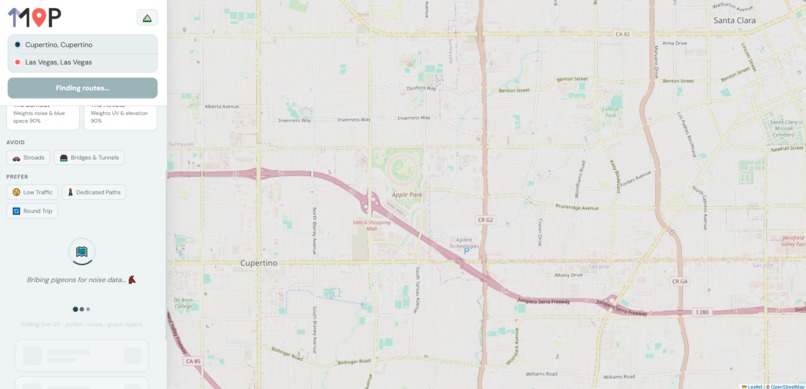
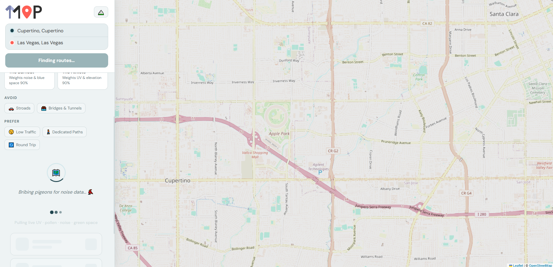
loading screen
-

Map with terrain, showing the pre route selection screen
-

Logo

Inspiration
Every navigation app in the world optimizes for the same thing: time. But your body doesn't care about time, it cares about UV exposure, air quality, noise pollution, and green space. We built Map1 to answer a different question: what's the healthiest way to get there?
What It Does
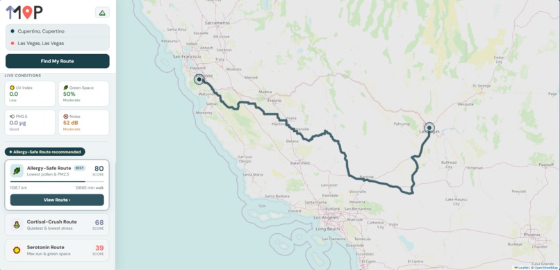
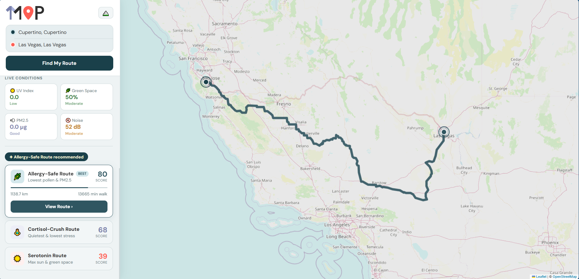
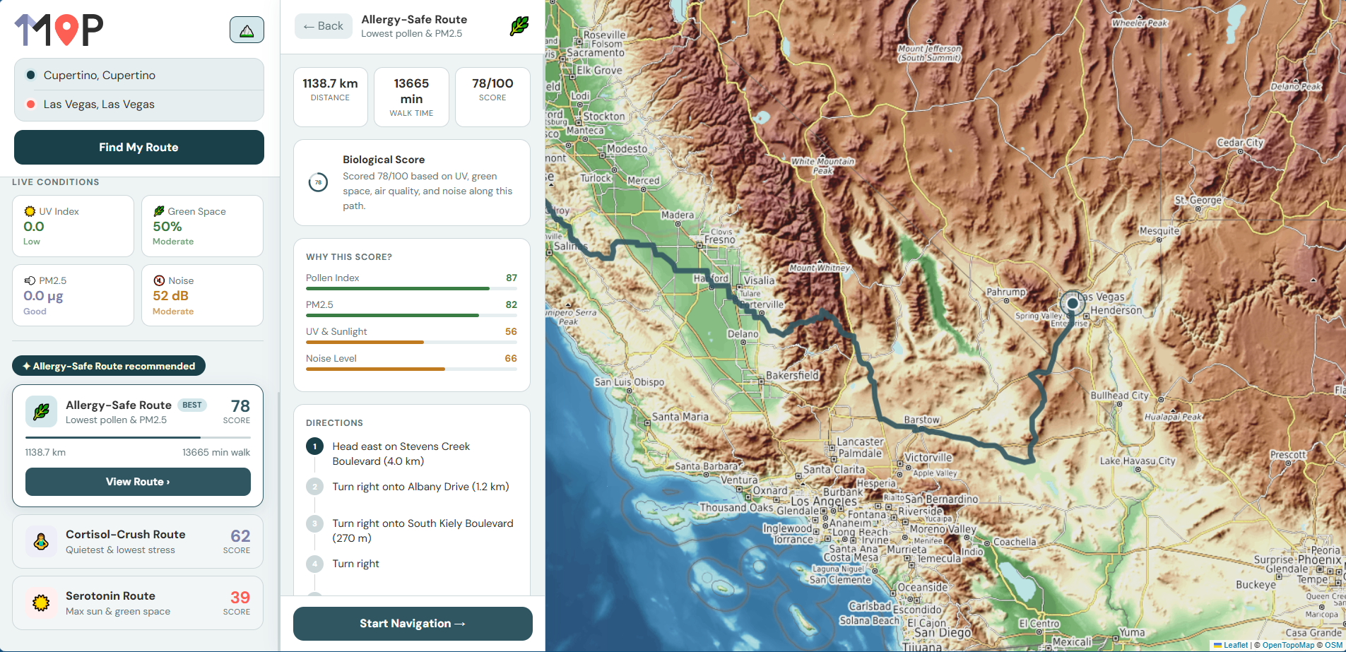
Map1 is a biologically optimized walking route planner. Enter a start and destination and Map1 returns three routes: each scored against real-time environmental data:
- ☀️ Serotonin Route — maximizes sun exposure and green space for a mood boost
- 🧘 Cortisol-Crush Route — finds the quietest, cleanest-air path to reduce stress
- 🌿 Allergy-Safe Route — minimizes particulate matter and pollen exposure
Each route is scored 0–100 based on live UV index, PM2.5 air quality, green space density, and estimated noise levels sampled at multiple points along the actual path geometry. Users can select a health profile (Asthmatic, Burnout, Athlete) to reweight the scoring algorithm around their specific needs.
How We Built It
- Frontend — React with Leaflet.js for map rendering, CARTO Voyager tiles, and a custom sidebar UI
- Backend — Python FastAPI with full async parallel data fetching
- Routing — OpenRouteService API using three different routing profiles (foot-walking, foot-hiking, cycling-road) to generate genuinely distinct candidate paths
- Environmental Data — Open-Meteo for UV and air quality, Overpass API for green space and noise estimation from OSM road classifications
- Geocoding — Nominatim with proximity-biased search
Challenges
The biggest challenge was getting three genuinely distinct routes. Most routing APIs return near-identical alternatives. We solved this by using three completely different ORS routing profiles pedestrian, hiking, and road which traverse fundamentally different edges of the graph.
Noise data was another challenge no free real-time noise API covers the US reliably. We built a proxy using OpenStreetMap road type classification, weighted by typical dB levels per road category, which produces reasonable estimates anywhere in the world.
Accomplishments
- Full end-to-end pipeline from address search to scored, rendered routes in under 10 seconds
- Environmental data sampled at multiple points along each route's actual geometry, not just the midpoint
- A working navigation mode with step-by-step directions and map segment highlighting
- Zero paid APIs, entirely free and open data sources
What We Learned
Environmental data APIs are surprisingly inconsistent, UV index from Open-Meteo returns 0 at night and varies by cloud cover model, not actual sun position. Building robust fallbacks and sensible defaults for every data source was as important as the scoring algorithm itself.
What's Next
- Real-time weather input for route optimization
- Elevation data to factor in hill difficulty
- Saved routes and historical scoring so users can track their environmental exposure over time
- Apps for all kinds of devices (Mobile, computer, etc)
Built With
- asyncio
- css
- fastapi
- httpx
- javascript
- leaflet.js
- nominatim
- open-meteo
- openstreetmap
- python
- react


Log in or sign up for Devpost to join the conversation.