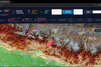
GeoAI DisasterOps AIPowered Flood Intelligence and Emergency
GeoAI DisasterOps uses AI, satellite imagery, and GIS to map potential flood zones, assess infrastructure exposure, identify isolated communities, and support emergency route planning faster disaster