-

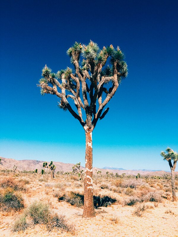
Yucca brevifolia
-

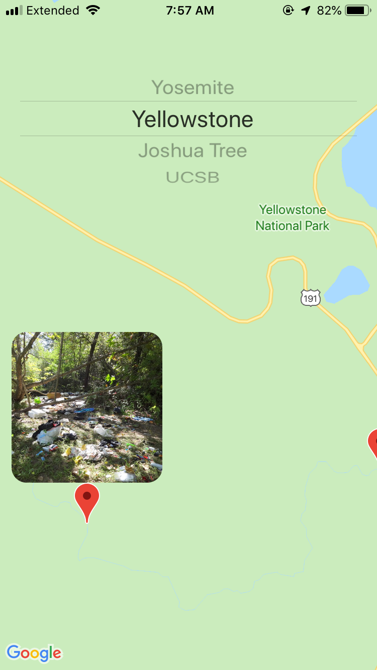
Sites of trash and vandalism at Yosemite National Park
-

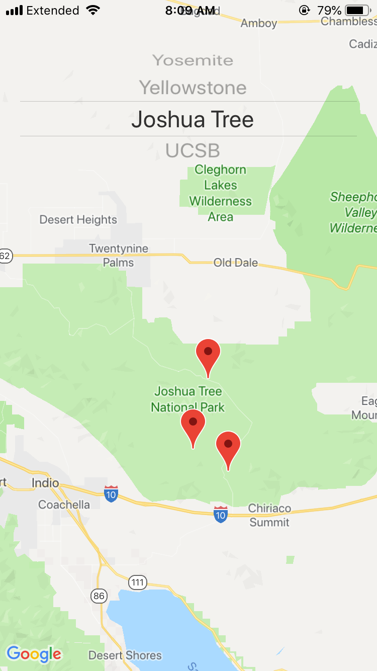
Vandalism of a tree at Joshua Tree National Park
-

Volunteers can mark areas as clean after cleaning the area
-

After being marked clean, the marker is removed from the map
-

Photo of trash in the area


Inspiration
We heard the story about a Joshua Tree being cut down recently because of the shutdown-related cutbacks. We thought there must be a better way to mobilize volunteers and assist park rangers.
What it does
Volunteers and rangers are able to text photos of trash and vandalism to a phone number. We then analyze the photo to confirm it contains vandalism or excess trash. These photos and coordinates are then loaded into our iOS app that contains a map where users can find locations in need of cleanup.
How we built it
We used the Twilio API to receive photos and Google Cloud Vision to analyze and classify the images. All of the photos are stored in Google Cloud Storage and the location data in Google Datastore. Finally, the iOS app, interfacing with the Google Maps API, connects to a node REST server for basic CRUD operations on the locations and photos.
Challenges we ran into
While working on the iOS app, there were lots of difficulties because there were not many examples and the documentation was lacking. Additionally, we were unable to use storyboards, so learning to layout UIs by hand was fun :)
Accomplishments that we're proud of
We think this could be a valuable tool for park rangers and those who care about preserving the United State's natural parks and resources.
What's next for Yucca
We would like to utilize drones to take aerial photos of the national parks. Then, using computer vision identify vandalizes areas or excess trash. Additionally, we would love to utilize the national park service's API to support more national parks and at greater detail.
Built With
- google-app-engine
- google-datastore
- google-storage
- ios
- node.js
- python
- swift
- twilio


Log in or sign up for Devpost to join the conversation.