Inspiration
Walking home at night doesn't always feel safe in Berkeley. We wanted to find out where crimes are more likely to be committed so that we knew what places to avoid when walking alone.
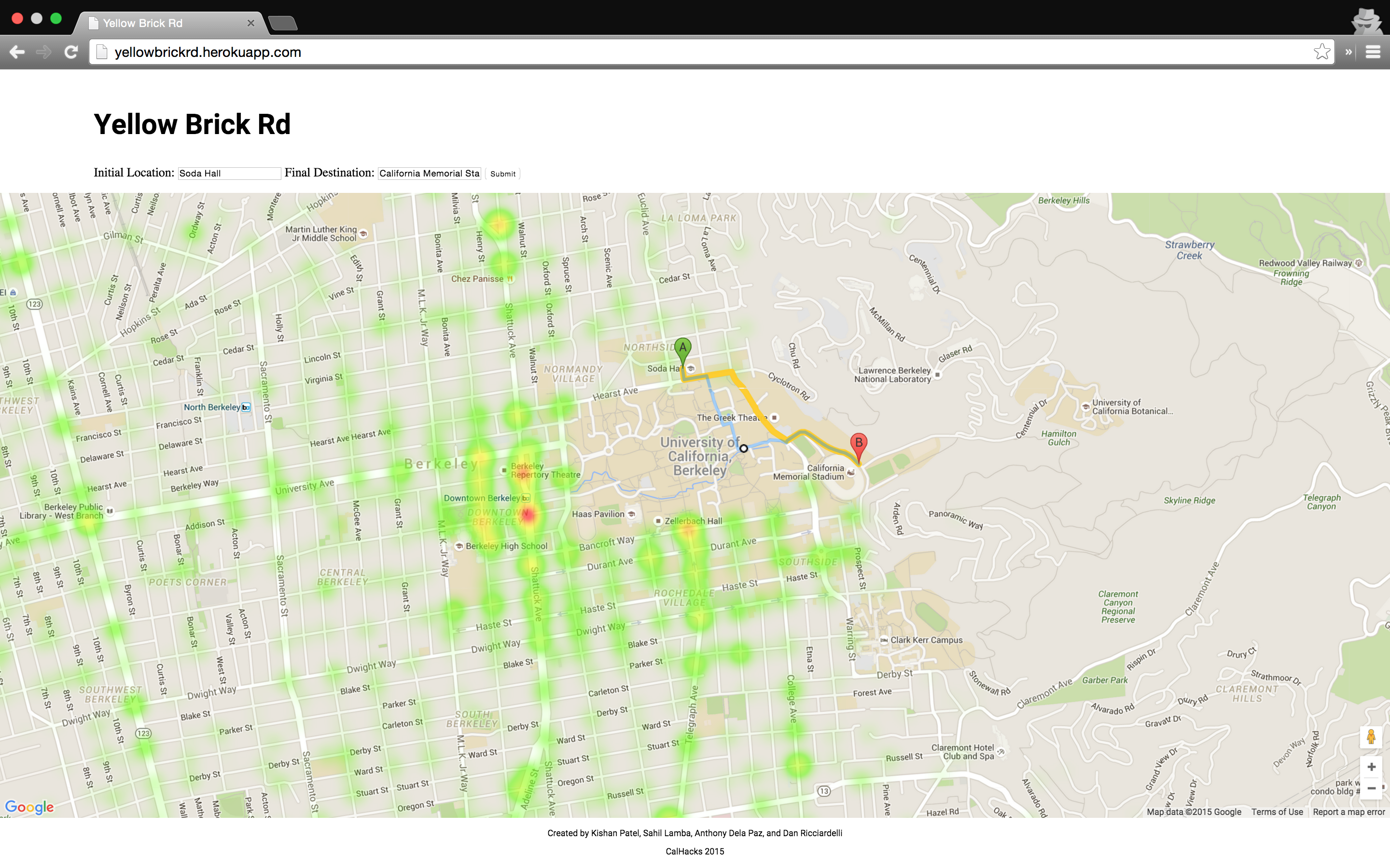
What it does
Yellow Brick Rd combines a crime heatmap of the City of Berkeley with Google Maps walking directions in order to help you find the safest path to walk.
How I built it
JavaScript, Node.js, Heroku, Google Maps API, CSS/HTML
Challenges I ran into
Finding the optimal framework to use for the front end. Finding proper ways to visualize crime data on a map.
Accomplishments that I'm proud of
Successfully combining different parts of the Google Maps API into one web application.
What I learned
Became more familiar with JavaScript and its various frameworks as well as the Google Maps API
What's next for Yellow Brick Rd
Expand to other cities. Assign safety scores to walking paths.


Log in or sign up for Devpost to join the conversation.