
Yaksha
This project does not have a live demo due to lack of time (would need to handle CORS issue and we do have that time available in a 24 hour hackathon)
A Layer based earth vital monitoring system and prediction system for Tree, Land, Climate and Bio-diversity pattern and corelataion.
Table of Contents
Inspiration
Managing the unknown is a challenge in itself. Yaksha offers a solution by providing accessible and top-tier forest-related data online, free of charge. This groundbreaking transparency sheds light on global forest activities like never before. Our data could be daily resource for governments, corporations, civil society groups, journalists, and individuals who deeply care about their local forests.
What it does?
Yaksha provides a near realtime monitoring and alarm prediction system which involves the following:
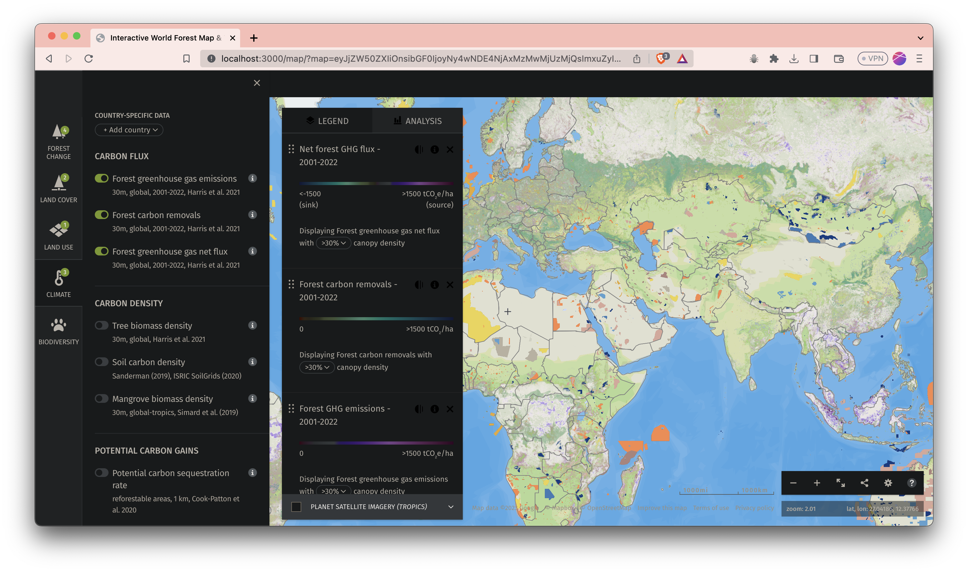
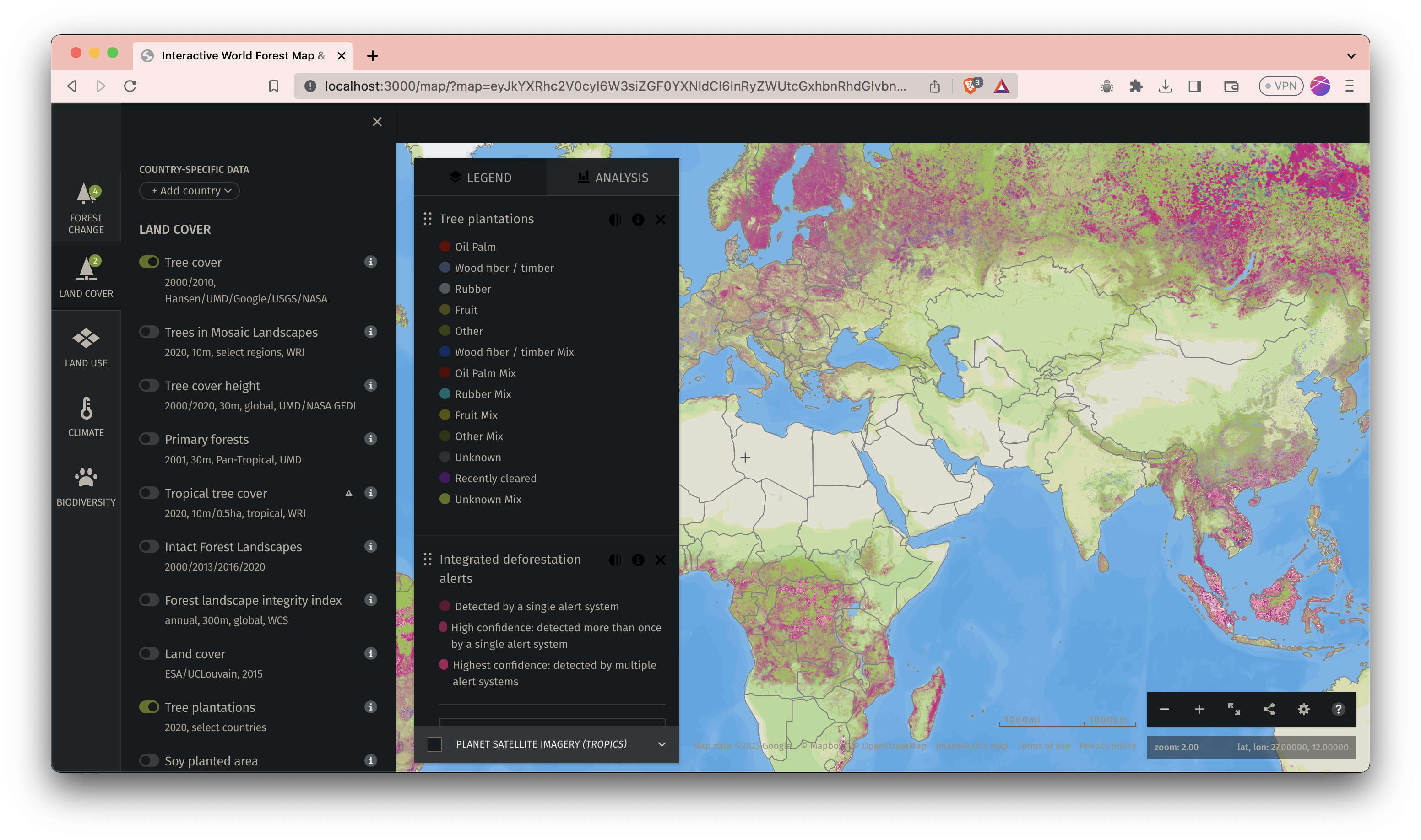
- Forest Monitoring - Yaksha provides a near realtime monitoring system for forest. It uses satellite images to detect the forest area cover and the tree loss over a decade
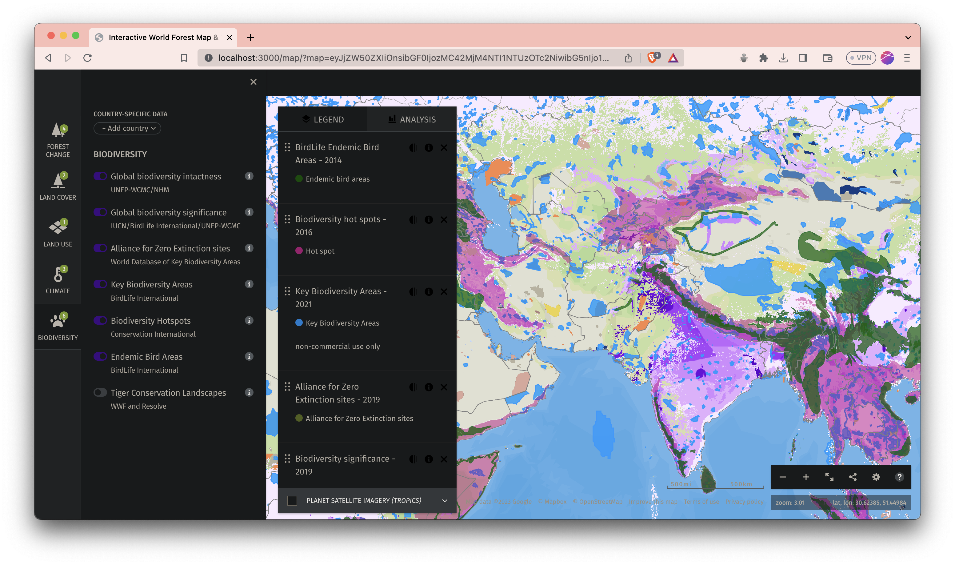
- Bio-Diversity Monitoring - Yaksha provides a near realtime monitoring system for bio-diversity. It provides parameters such as extinction rate, intactness factor and cover loss.
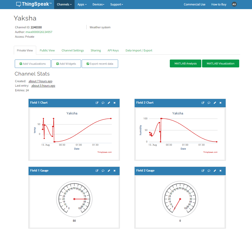
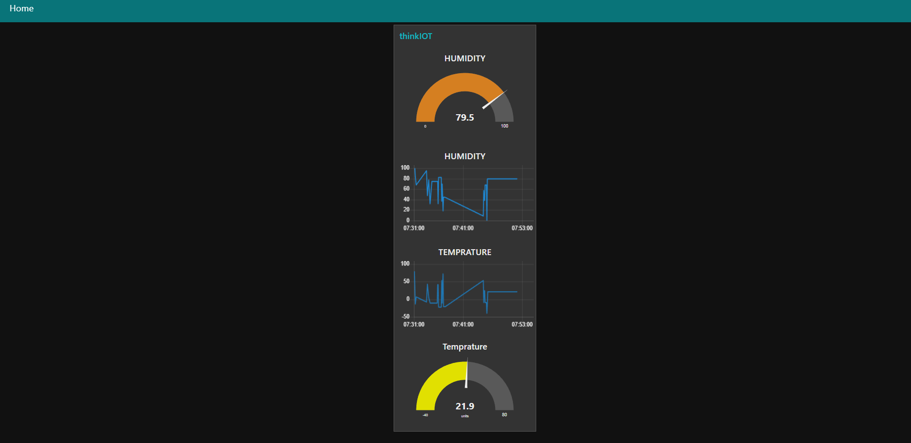
- Climate Monitoring - Yaksha provides a near realtime monitoring system for climate. It provides parameters such as temperature, rainfall, humidity, wind speed and wind direction.
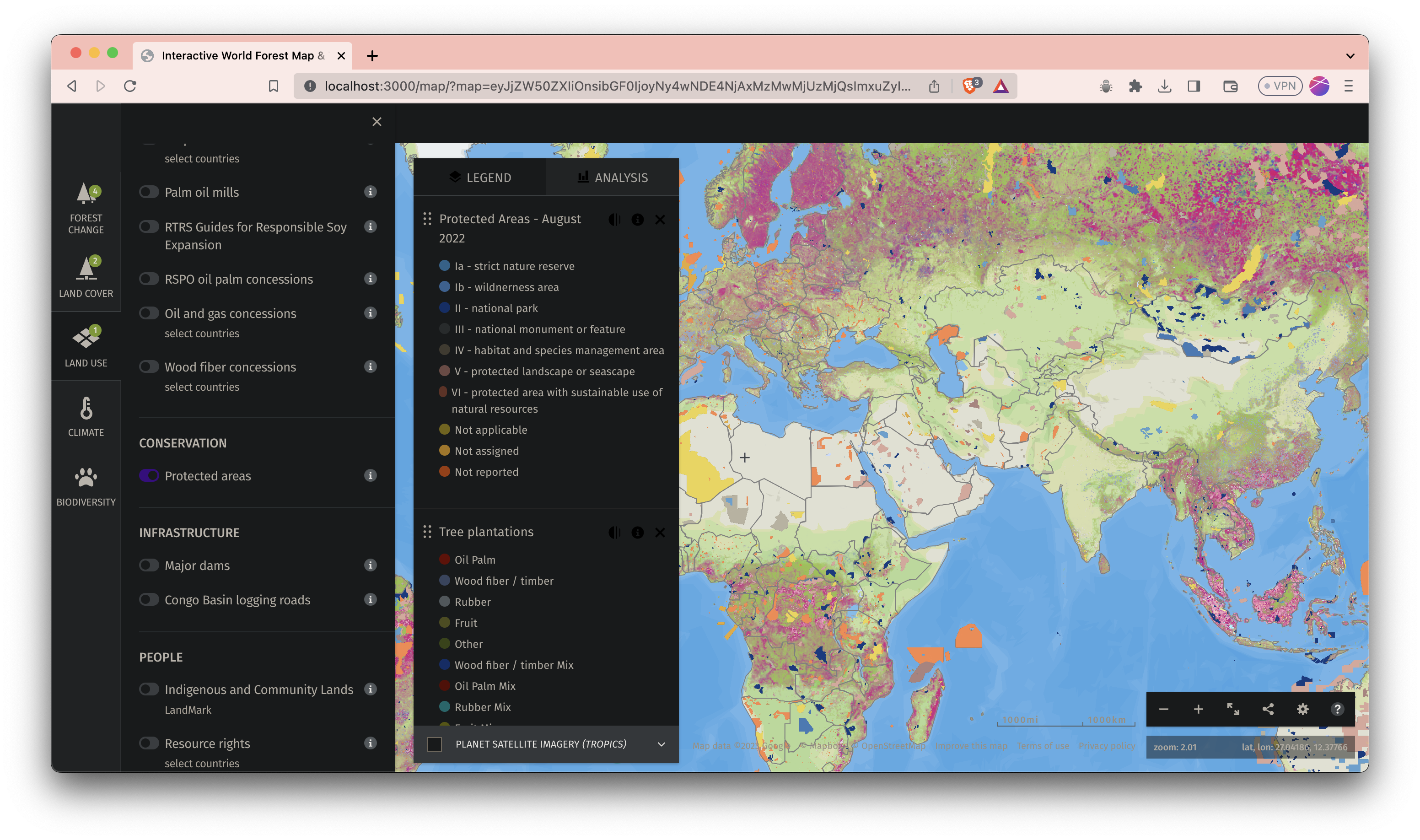
- Land Monitoring - Yaksha provides a near realtime monitoring system for land. It provides parameters such as land cover, land use, land loss and land gain.
- Alarm Prediction - Yaksha provides a near realtime alarm prediction system for forest. It uses machine learning to predict the wild forest fire, illegal logging activities. and deforestation.
They are all placed on co-relation metrics where all factors depend on each other and impact on huge scale such as damp climate leads to a heat bubble which decreases bio diversity intactness factor.
How we built it?
Here's a breakdown of how Yaksha was brought to life:
Data Source and Analysis:
- Utilized Sentinel satellite data as a primary data source.
- Processed and analyzed the satellite data to extract relevant information.
- Evaluated carbon emissions, forest cover, and biodiversity intactness.
Predictive Modeling:
- Implemented Support Vector Machines (SVM) and Random Forests algorithms.
- Leveraged SVM for predictive analysis of forest cover and biodiversity intactness.
- Utilized Random Forests for predicting carbon sequestration trends.
- Created visualizations to offer clear insights into these predictions.
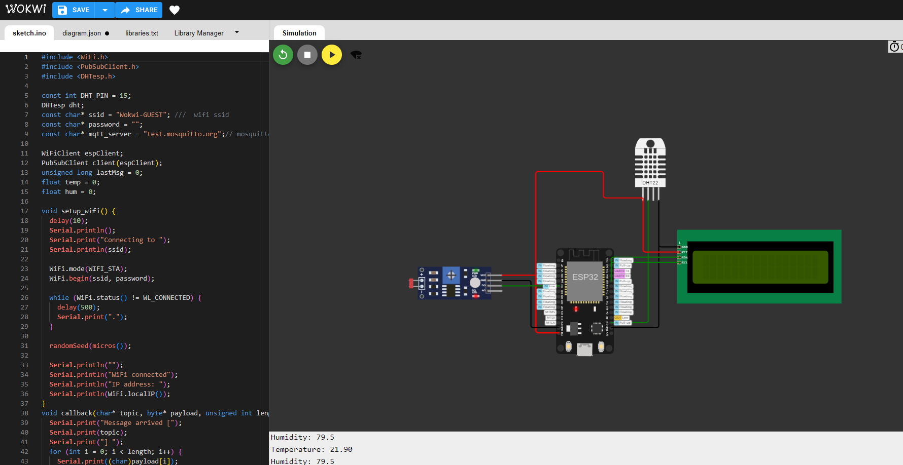
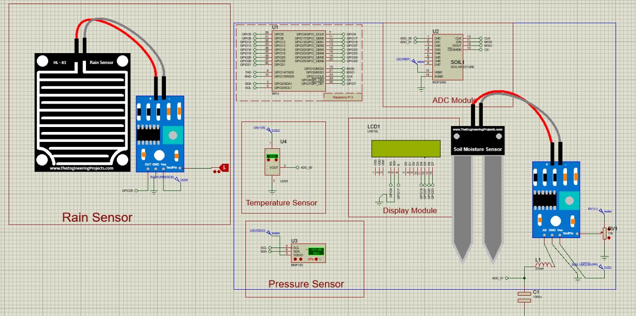
Hardware Development:
- Designed a hardware system for on-ground environmental data collection.
- Incorporated a variety of sensors to measure humidity, moisture, luminosity, CO2 levels, and more.
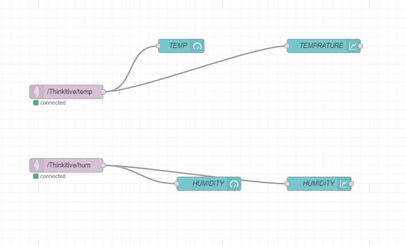
- Developed the hardware to communicate through the LORAWAN network for seamless data transmission.
Simulation and Testing:
- Rigorously tested the predictive models using diverse datasets.
- Simulated the hardware system to ensure accuracy, reliability, and efficiency.
User Interface Design:
- Developed an intuitive and user-friendly interface.
- Designed interactive visualizations to present forest insights and predictions.
- Ensured seamless navigation and access to critical information for users.
Future Scopes
- Collaborative parternship with actual environmental NGOs and companies
License
This project is MIT Licensed
Built With
- esp32
- javascript
- lmipy
- mapbox
- node-red
- nuxtjs
- planetapi
- proteus
- python
- scss
- thinkspeak

Log in or sign up for Devpost to join the conversation.