Inspiration Egypt and the MENA region hold vast, untapped subterranean wealth and rich cultural landscapes, yet traditional geological exploration remains costly, slow, and fragmented. We wanted to build a bridge between cutting-edge satellite geospatial data and actionable domain intelligence—making sub-surface asset discovery and regional heritage exploration instantaneous, accessible, and interactive for researchers, developers, and field teams. What it does Explore Ofok is a unified geospatial intelligence and educational discovery platform. By combining interactive satellite map interfaces with multimodal AI, it allows users to pinpoint any location on Earth to immediately generate dual-layered intelligence reports:
- Geological & Hydrological Insights: Estimates water table depths, soil characteristics, mineral potential, and investment feasibility scores.
- Cultural & Educational Horizon: Extracts historical overviews, nearby famous landmarks, and engaging educational facts to enrich regional tourism and heritage awareness. How we built it
- Backend Framework: Built with Python and FastAPI, creating a high-performance, lightweight single-file server deployment (explore_ofok.py).
- AI & Schema Enforcement: Powered by the Google Gemini API (gemini-2.5-flash), utilizing Structured JSON Output (response_schema via Pydantic) to guarantee precise, deterministic data structures.
- Geospatial Mapping: Integrated Leaflet.js with high-resolution Esri World Imagery satellite tiles for interactive coordinate selection, paired with direct deep-linking into Google Earth Web.
- Frontend Design: Crafted a responsive, dark-mode dashboard using Bootstrap 5 embedded directly within the application for seamless execution. Challenges we ran into
- Schema Reliability: Ensuring the LLM consistently returns strictly typed JSON for both complex geological estimates and narrative cultural insights without hallucinations. We solved this using Gemini's native schema enforcement (types.GenerateContentConfig).
- Map Integration Simplicity: Balancing real-time high-resolution satellite imagery display without incurring heavy API latency or requiring complex multi-key setups during tight hackathon timelines. Accomplishments that we're proud of
- Single-File Architecture: Successfully shipping a fully functional, end-to-end full-stack application (Frontend + Backend + AI Engine) in a clean, easily deployable python file.
- Dual-Domain Value: Merging hard economic data (minerals, water, feasibility) with soft cultural/educational enrichment into a single interactive workflow. What we learned
- The power of combining geospatial UI inputs with multimodal structural models to process spatial coordinates into structured domain reports instantly.
- How to leverage Gemini's structured response modes to build reliable, production-ready microservices rapidly. What's next for Explore Ofok
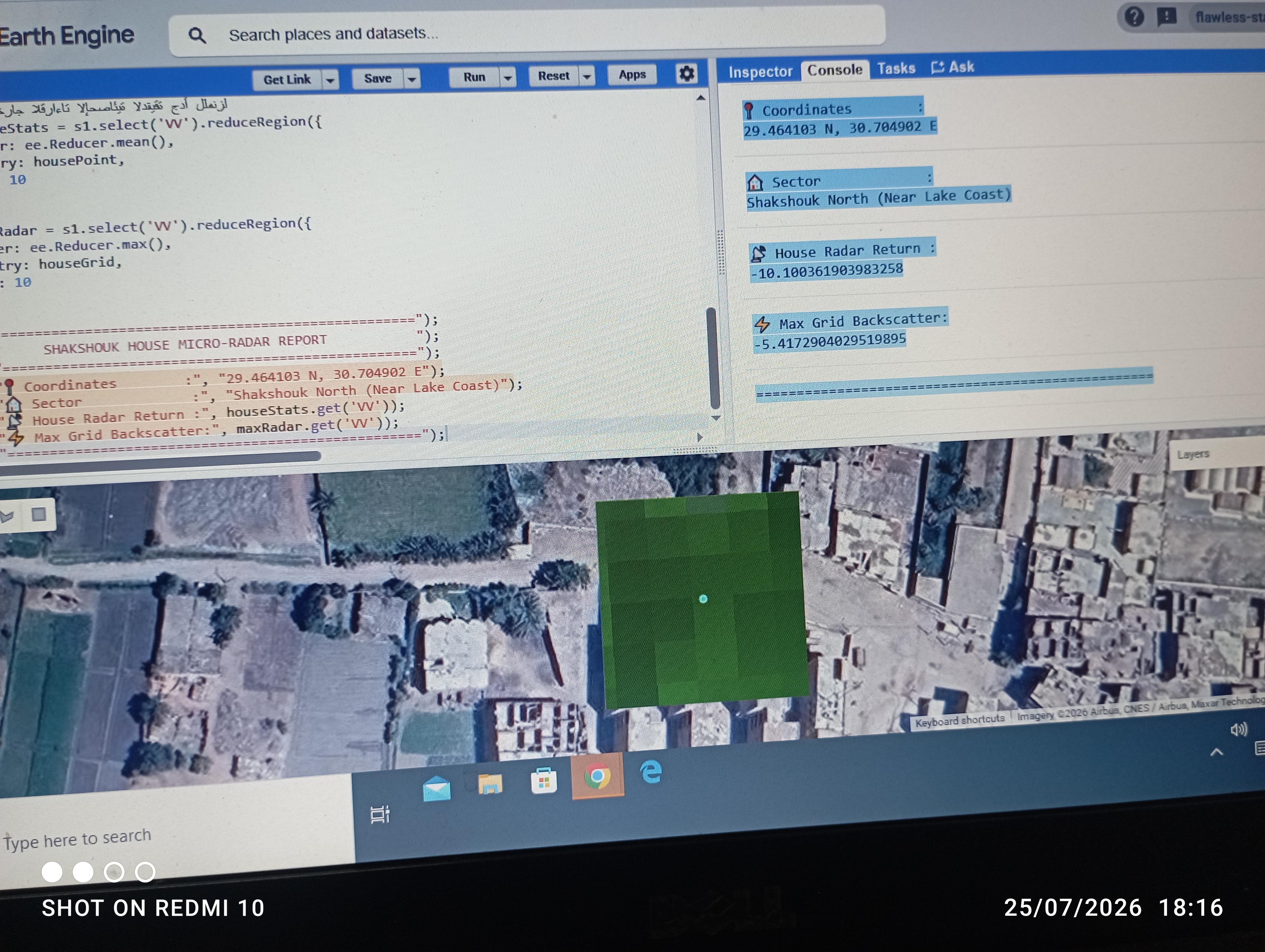
- Multi-Spectral SAR Integration: Ingesting live Synthetic Aperture Radar (Sentinel/ALOS PALSAR) data overlays directly into the map canvas.
- Offline Field Mode: Lightweight mobile execution for remote exploration teams working in off-grid desert locations.
- Localized Knowledge Expansion: Deepening the regional tourism database with localized audio guides and AR landmark visualizations.
Built With
- python
- stramlit

Log in or sign up for Devpost to join the conversation.