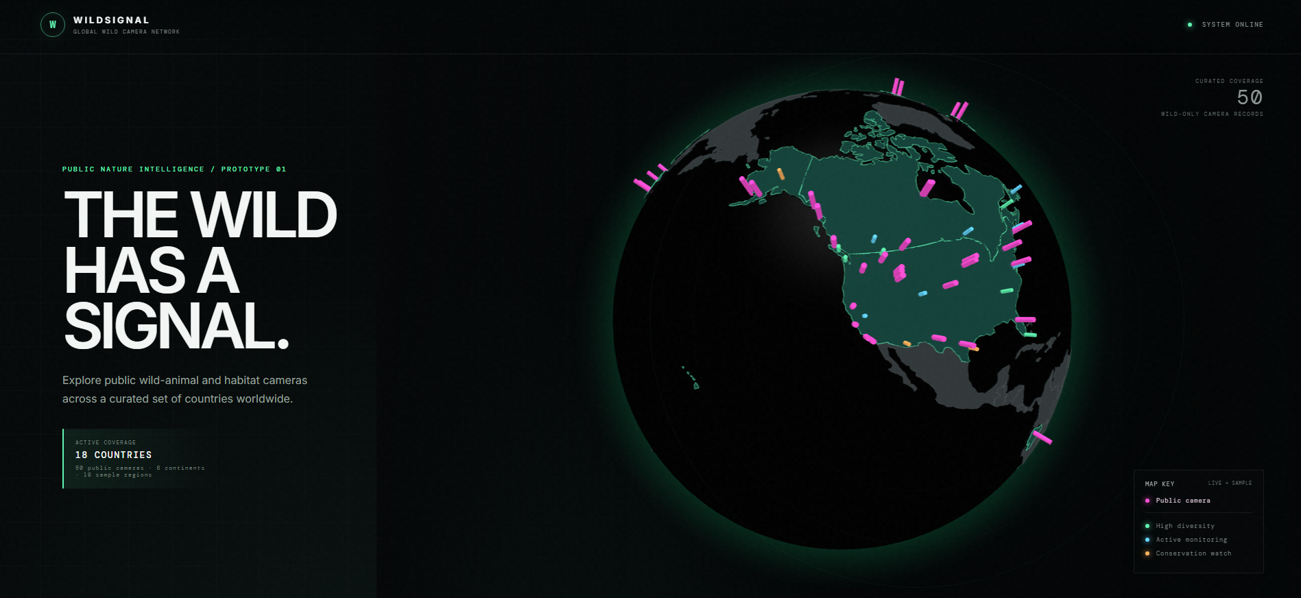
WildSignal is a cinematic 3D globe that maps real public wildlife cameras across all 7 continents, revealing live weather, species data, and conservation status for each location
Inspiration: large central databases orgnaziations such as governments have with large data sets and can determine outcomes almost 100%, why not do something similar with wildlife?
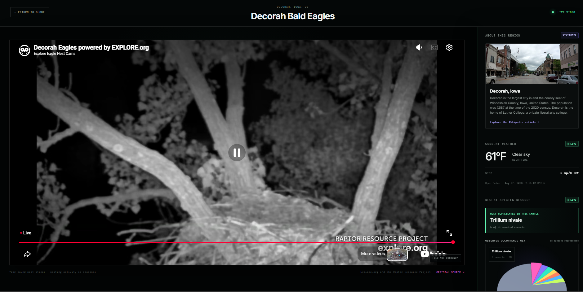
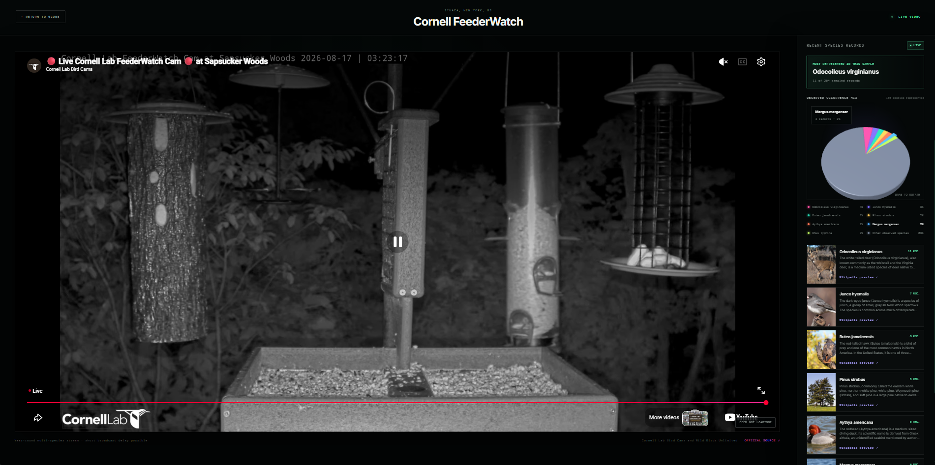
What it does: WildSignal brings public wildlife cameras, park feeds, weather, species records, and conservation information into one global experience. It helps researchers, students, educators understand ecosystems around the world
How we built it: I curated public feeds from parks and conservation organizations, connected them with trusted environmental data sources, and organized everything through an interactive globe
Challenges we ran into: Many wildlife feeds are seasonal, delayed, unavailable, or restricted from being embedded.
Accomplishments that we're proud of: I created an immersive global wildlife network that makes scattered environmental resources easier to discover and understand
What we learned: I learned that public wildlife data is valuable but fragmented, and that responsible presentation matters as much as collecting it.
What's next for WildSignal: Next, I want to verify more international feeds, expand coverage to underserved regions and Antarctica, and work directly with parks and conservation organizations.

Log in or sign up for Devpost to join the conversation.